Porth Carreg-fawr
Bay in Anglesey
Wales
Porth Carreg-fawr
Porth Carreg-fawr, also known as Porth Cwyfan, is a picturesque bay located on the west coast of Anglesey, Wales. It is a popular destination for tourists and locals alike due to its stunning natural beauty and historical significance.
The bay is characterized by its crescent-shaped sandy beach, which is surrounded by rugged cliffs and crystal-clear turquoise waters. The beach offers breathtaking views of the Irish Sea and the distant Snowdonia mountain range. It is a perfect spot for relaxation, sunbathing, and picnicking.
One of the main attractions of Porth Carreg-fawr is the small tidal island called Cribinau. This island is home to the iconic St. Cwyfan's Church, which dates back to the 12th century. The church is often referred to as the "Church in the Sea" as it sits on a rocky outcrop and is accessible only during low tide. It is a popular spot for wedding ceremonies due to its unique location and picturesque surroundings.
The bay is also a haven for wildlife enthusiasts, with a variety of bird species, seals, and even dolphins occasionally spotted in the area. It is a designated Special Area of Conservation (SAC) and is protected for its important ecological value.
Porth Carreg-fawr offers ample parking facilities and is easily accessible by road. It is a must-visit destination for those seeking natural beauty, tranquility, and a glimpse into the rich history and culture of Anglesey.
If you have any feedback on the listing, please let us know in the comments section below.
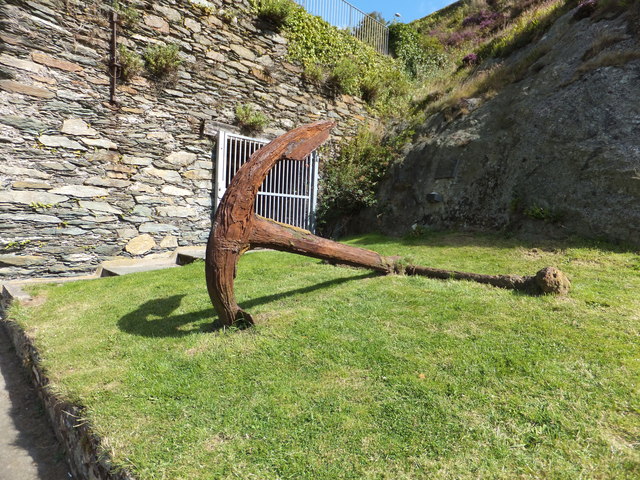
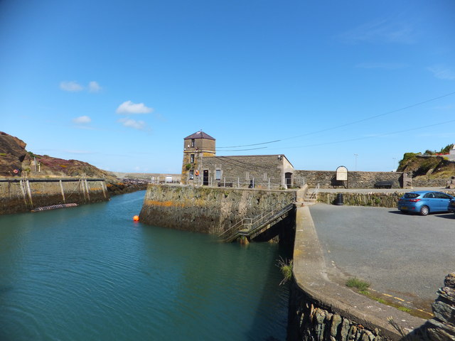
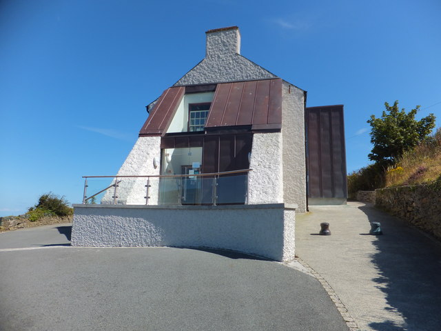
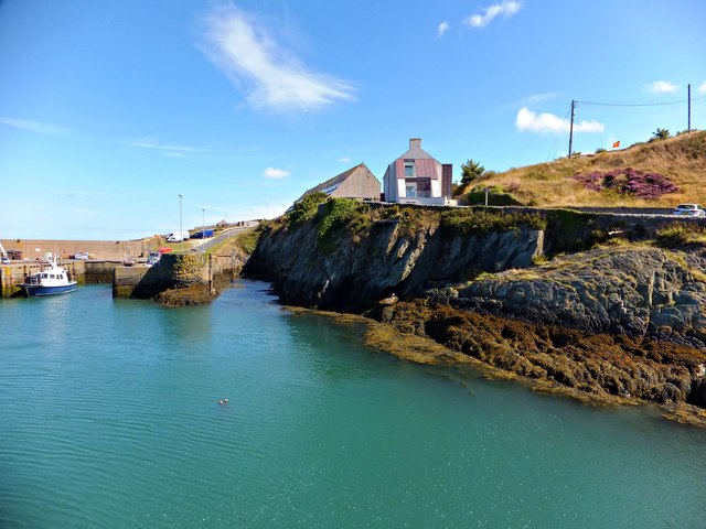
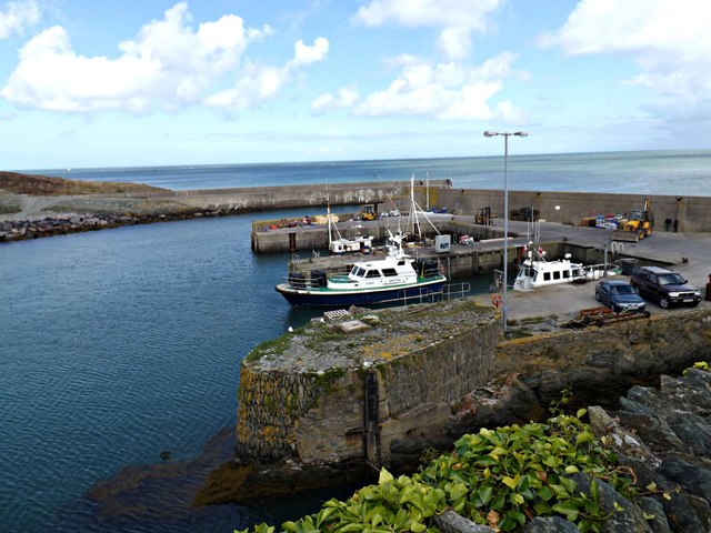
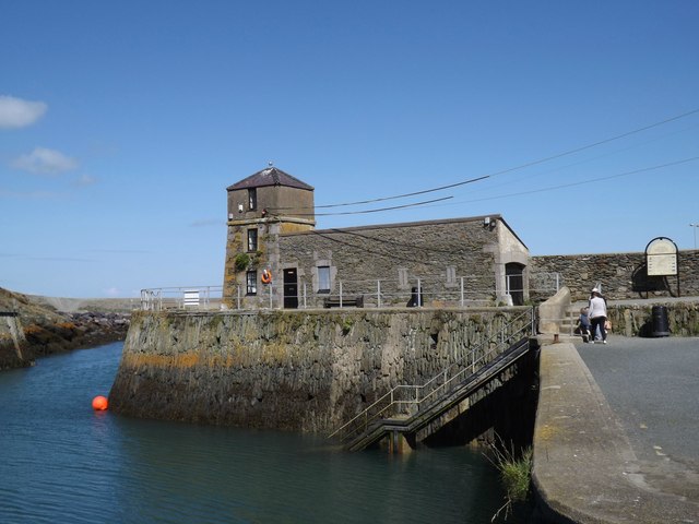
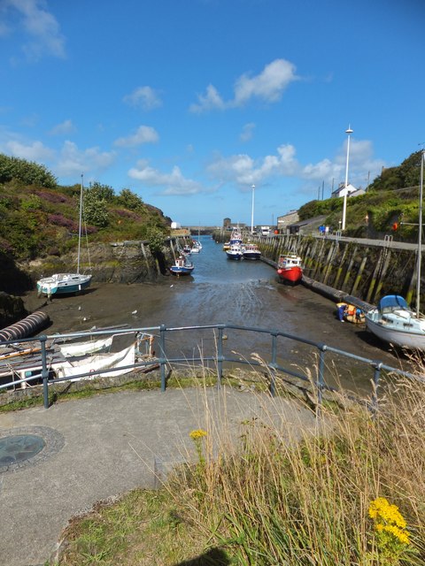
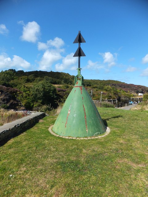
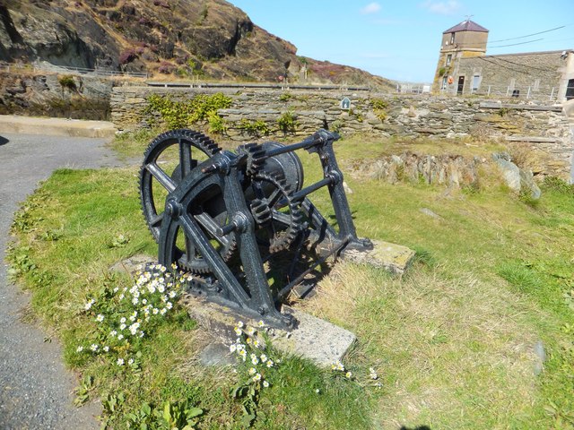
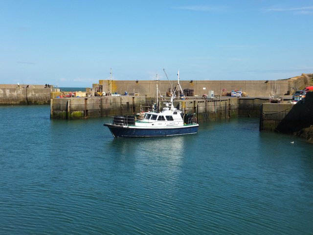
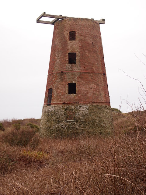
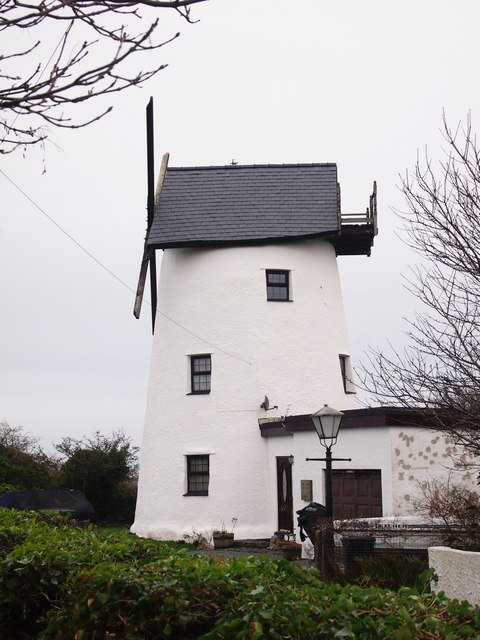
Porth Carreg-fawr Images
Images are sourced within 2km of 53.414848/-4.3565745 or Grid Reference SH4393. Thanks to Geograph Open Source API. All images are credited.
Porth Carreg-fawr is located at Grid Ref: SH4393 (Lat: 53.414848, Lng: -4.3565745)
Unitary Authority: Isle of Anglesey
Police Authority: North Wales
What 3 Words
///jugs.horizons.earful. Near Amlwch, Isle of Anglesey
Nearby Locations
Related Wikis

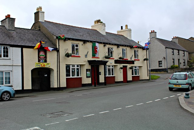
Bull Bay, Anglesey
Bull Bay (Welsh: Porth Llechog) is a village and bay on the northern coast of Anglesey, Wales, close to Amlwch. Its Welsh name, Porth Llechog, means "sheltered...
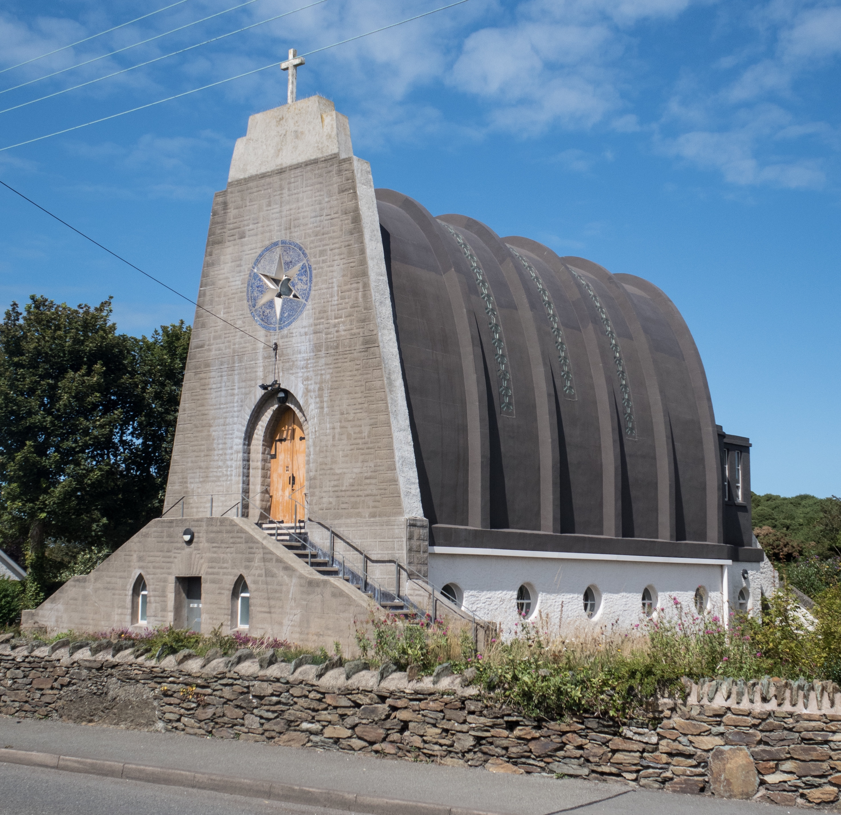
Our Lady Star of the Sea and St Winefride, Amlwch
Our Lady Star of the Sea and St Winefride (Welsh: Mair, Seren Y Mor a Santes Wenfrewi) is a Roman Catholic church in Amlwch, a town on the island of Anglesey...

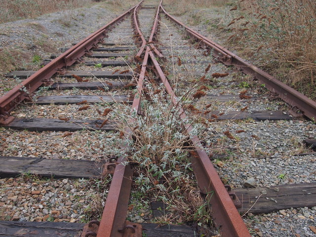
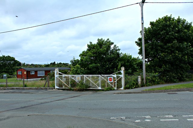
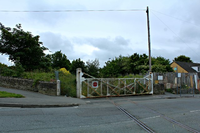
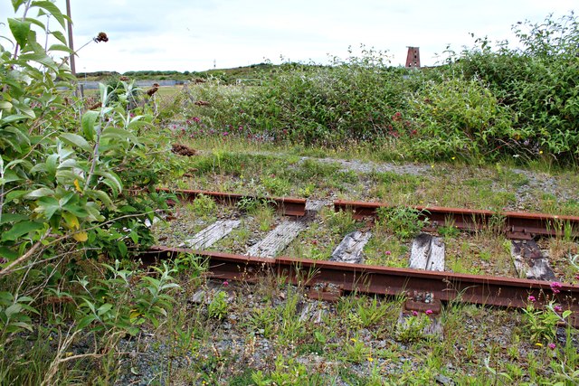
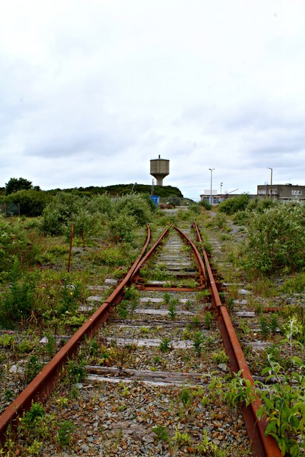
Anglesey Central Railway
The Anglesey Central Railway (Welsh: Lein Amlwch, Amlwch Line) was a 17.5-mile (28.2 km) standard-gauge railway in Anglesey, Wales, connecting the port...
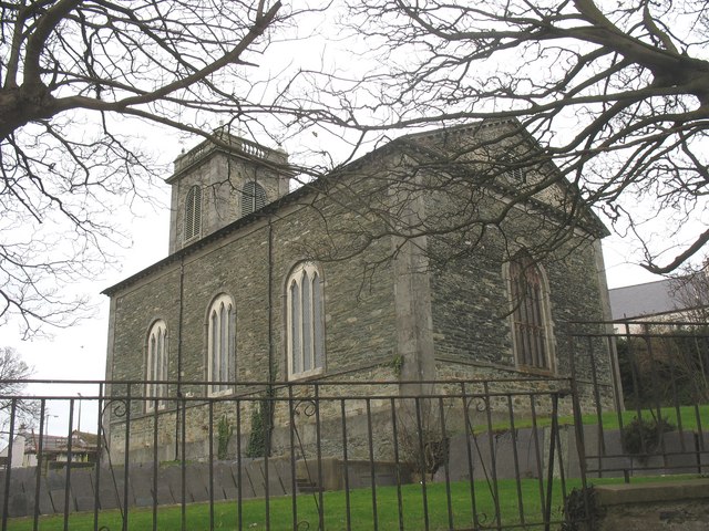
St Eleth's Church, Amlwch
St Eleth's Church, Amlwch is a parish church built in the Neo-classical style in 1800 in Amlwch, a town on the island of Anglesey in north Wales. It stands...
Related Videos


A summer day at Bull Bay, Anglesey
Test video for my DJI Mavic Mini, shot 7 July 2021. Permission was gained for the flyovers.

Nearby Amenities
Located within 500m of 53.414848,-4.3565745Have you been to Porth Carreg-fawr?
Leave your review of Porth Carreg-fawr below (or comments, questions and feedback).