Trwyn Tew
Coastal Marsh, Saltings in Anglesey
Wales
Trwyn Tew
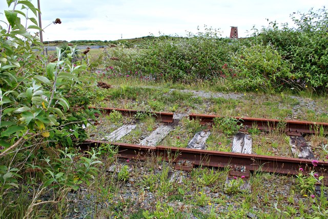
Trwyn Tew is a fascinating coastal marsh and saltings located on the picturesque island of Anglesey, off the northwest coast of Wales. This stunning natural area covers a vast expanse of approximately 2 square kilometers and is characterized by its unique blend of salt marshes, mud flats, and sand dunes.
The marshland at Trwyn Tew is home to a diverse array of flora and fauna, making it a haven for wildlife enthusiasts and nature lovers. The area boasts an impressive variety of plant species, including sea lavender, sea aster, and sea purslane, which thrive in the brackish waters. These plants provide vital habitat and nourishment for numerous bird species, such as redshanks, oystercatchers, and curlews, which can be observed wading and feeding in the muddy estuaries.
Trwyn Tew also serves as an important breeding ground for several bird species, including terns and gulls, which nest on the sandy dunes. The area's unique mix of habitats attracts a wide range of migratory birds, making it a popular spot for birdwatching.
In addition to its ecological significance, Trwyn Tew offers breathtaking views of the coastline, with its rolling sand dunes and expansive mud flats stretching out to the sea. The ever-changing tidal patterns create a dynamic environment, ensuring that no two visits to Trwyn Tew are ever the same.
The site is well-maintained and accessible, with designated footpaths and viewing platforms for visitors to explore and appreciate the natural beauty of Trwyn Tew.
If you have any feedback on the listing, please let us know in the comments section below.
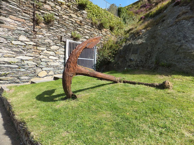
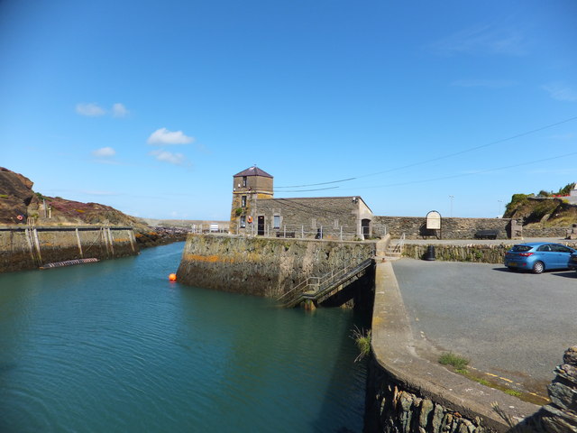
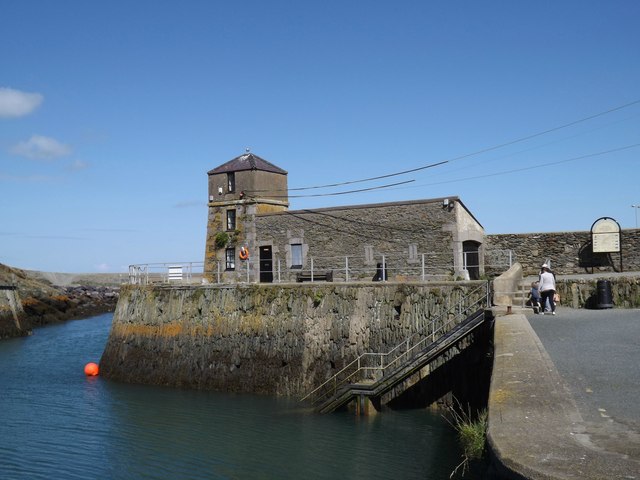
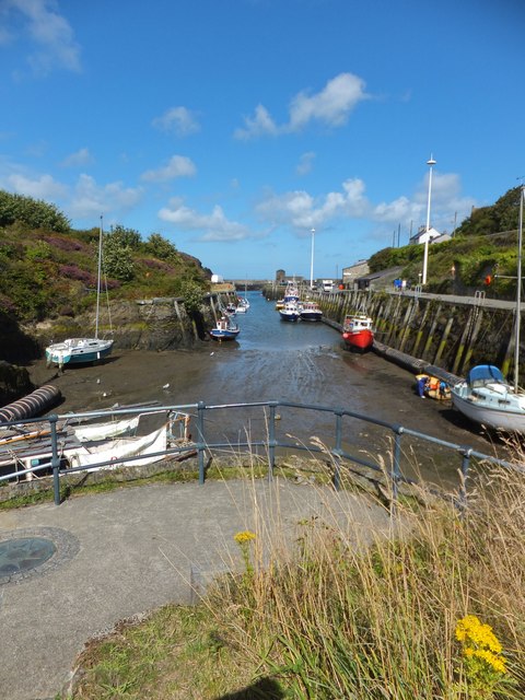
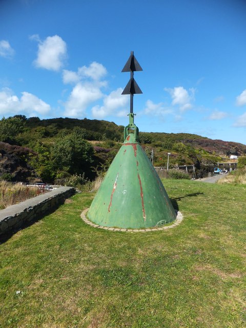
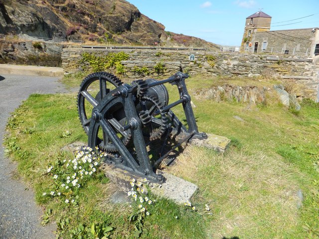
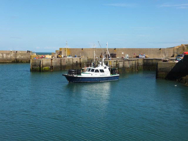
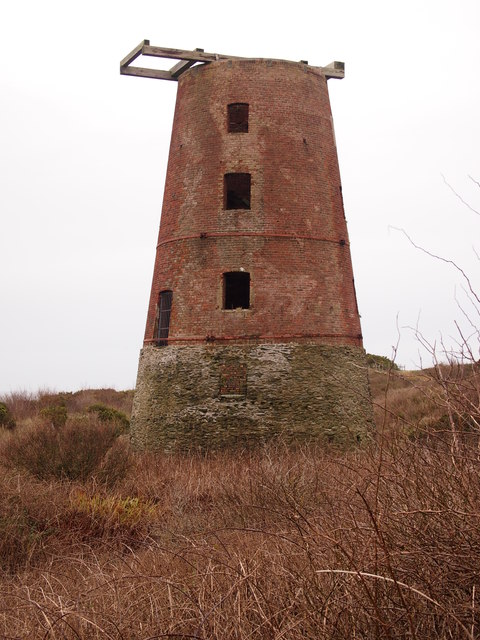
Trwyn Tew Images
Images are sourced within 2km of 53.416976/-4.3621702 or Grid Reference SH4393. Thanks to Geograph Open Source API. All images are credited.


Trwyn Tew is located at Grid Ref: SH4393 (Lat: 53.416976, Lng: -4.3621702)
Unitary Authority: Isle of Anglesey
Police Authority: North Wales
What 3 Words
///examiner.startles.roofs. Near Amlwch, Isle of Anglesey
Nearby Locations
Related Wikis

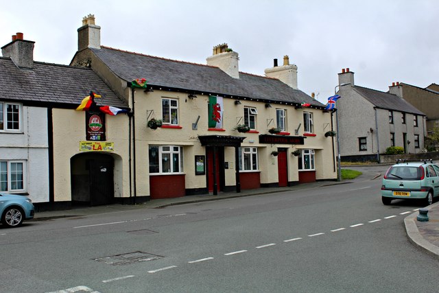
Bull Bay, Anglesey
Bull Bay (Welsh: Porth Llechog) is a village and bay on the northern coast of Anglesey, Wales, close to Amlwch. Its Welsh name, Porth Llechog, means "sheltered...
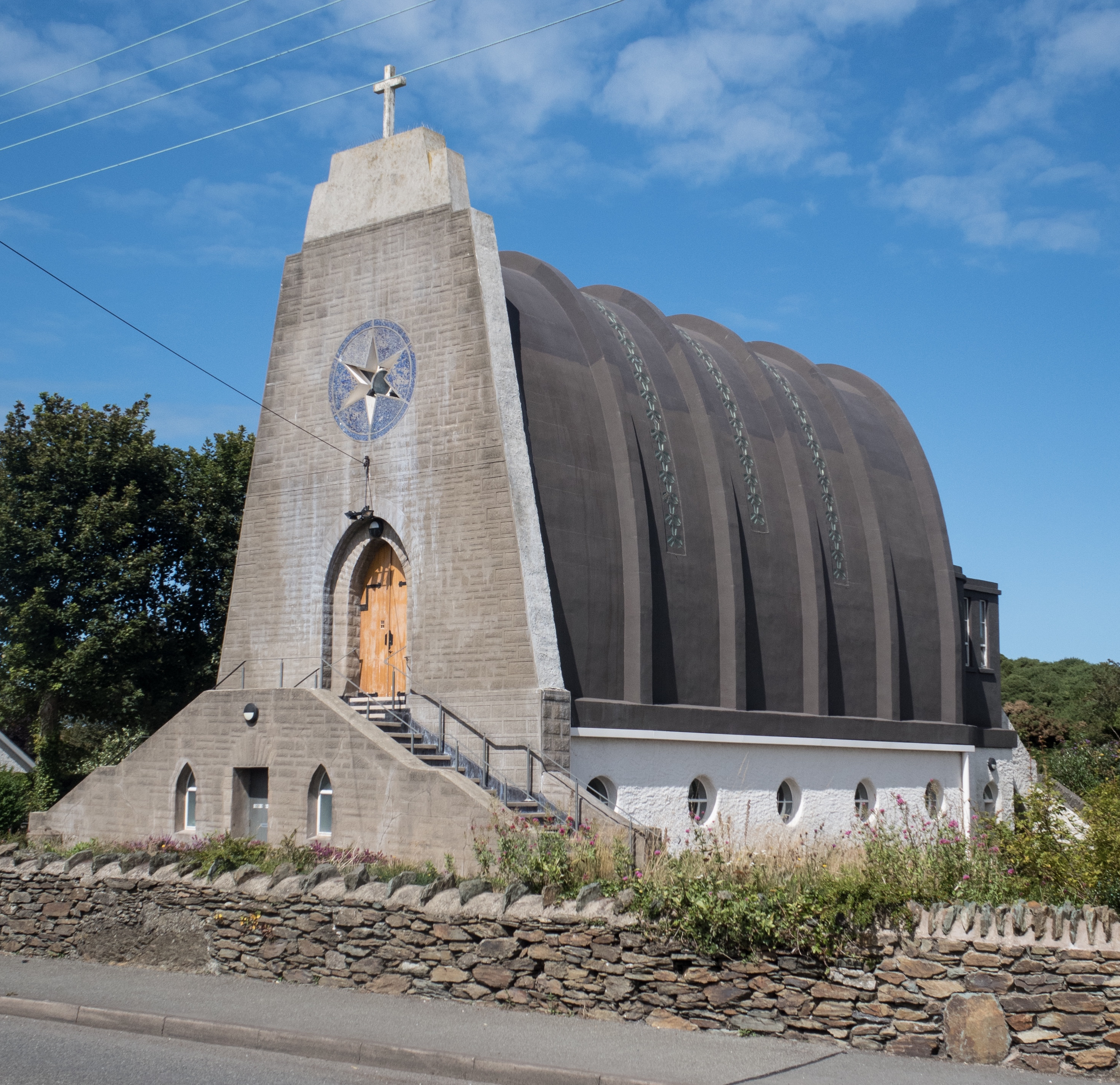
Our Lady Star of the Sea and St Winefride, Amlwch
Our Lady Star of the Sea and St Winefride (Welsh: Mair, Seren Y Mor a Santes Wenfrewi) is a Roman Catholic church in Amlwch, a town on the island of Anglesey...

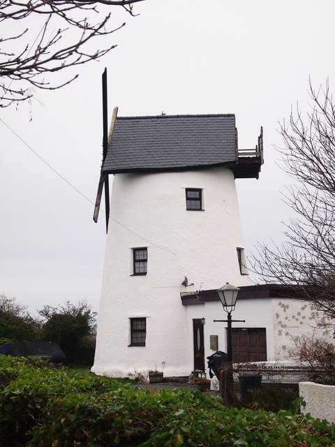
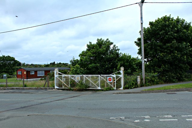
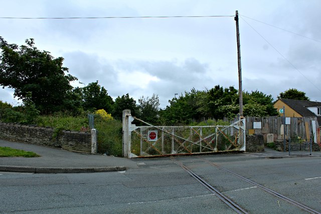
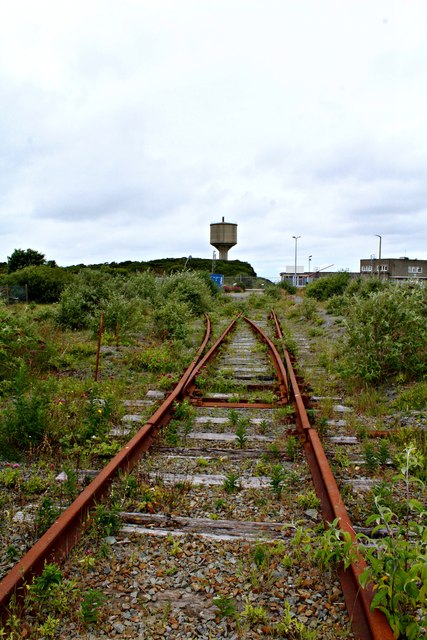
Anglesey Central Railway
The Anglesey Central Railway (Welsh: Lein Amlwch, Amlwch Line) was a 17.5-mile (28.2 km) standard-gauge railway in Anglesey, Wales, connecting the port...
Burwen
Burwen is a village in Anglesey, Wales, in the community of Amlwch. Located on the A5025, it is 1 kilometre southwest of the larger village of Bull Bay...
Related Videos


A summer day at Bull Bay, Anglesey
Test video for my DJI Mavic Mini, shot 7 July 2021. Permission was gained for the flyovers.

Nearby Amenities
Located within 500m of 53.416976,-4.3621702Have you been to Trwyn Tew?
Leave your review of Trwyn Tew below (or comments, questions and feedback).