Traeth Dynion
Bay in Anglesey
Wales
Traeth Dynion
Traeth Dynion, also known as Dynion Bay, is a picturesque coastal area located on the southern coast of the Isle of Anglesey in Wales. This bay stretches across approximately 3 kilometers and offers stunning views of the Irish Sea.
The bay is characterized by its long sandy beach, which is backed by dunes and grassy areas. The beach is known for its soft golden sand and is a popular destination for locals and tourists alike, particularly during the summer months. The gentle slope of the beach makes it an ideal spot for swimming and sunbathing, and it is also a haven for water sports enthusiasts, such as kayakers and windsurfers.
Traeth Dynion is surrounded by an area of outstanding natural beauty, with rolling hills and rugged cliffs providing a stunning backdrop to the bay. The area is rich in wildlife, with a variety of bird species, including waders and seabirds, often seen along the shoreline.
Facilities at Traeth Dynion are limited, with no lifeguard service or designated parking areas, but there is ample space for visitors to park along the roadside. The bay is easily accessible from nearby towns and villages, and there are several footpaths and trails that offer scenic walks along the coastline.
Overall, Traeth Dynion is a hidden gem on the Isle of Anglesey, offering visitors a tranquil and unspoiled beach experience with breathtaking views and a chance to connect with nature.
If you have any feedback on the listing, please let us know in the comments section below.
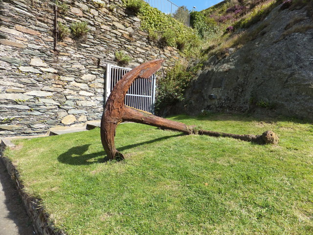
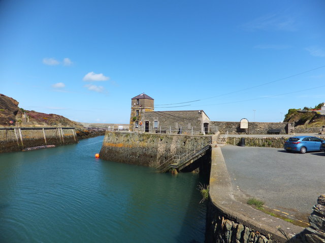
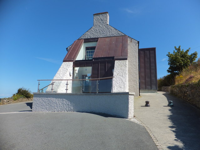
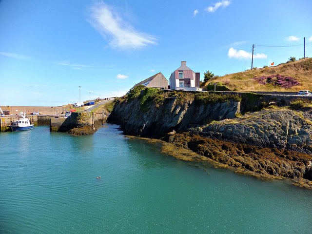
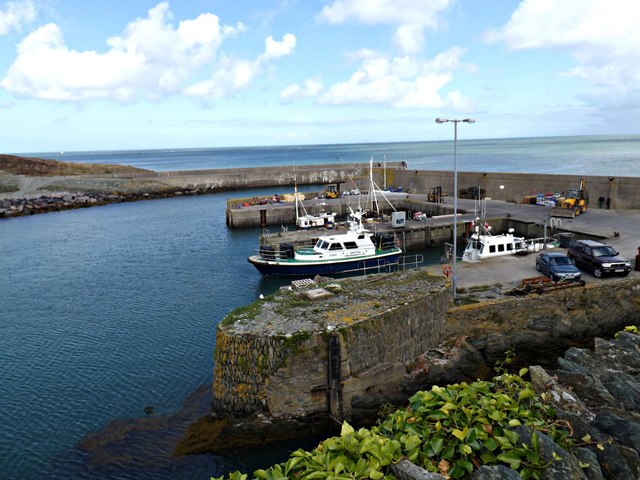
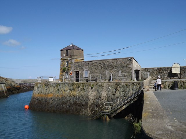
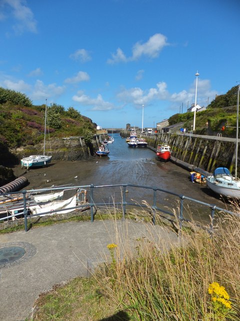
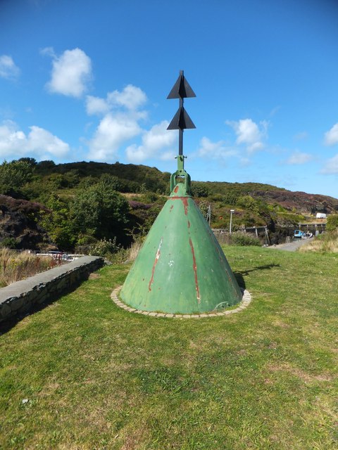
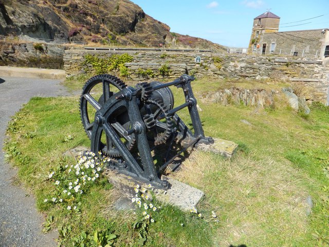
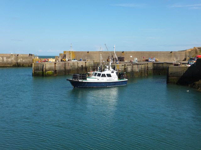
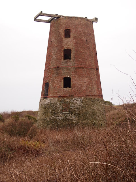
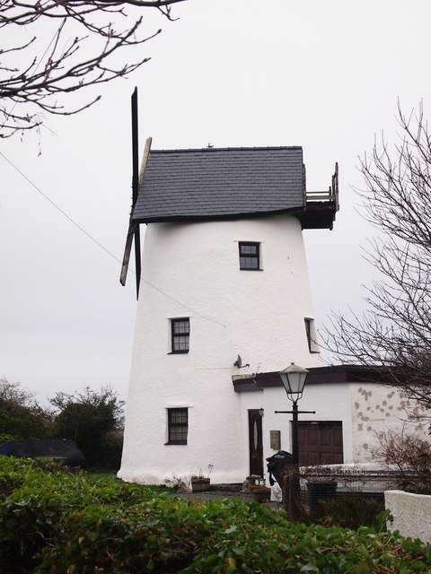
Traeth Dynion Images
Images are sourced within 2km of 53.415246/-4.3541886 or Grid Reference SH4393. Thanks to Geograph Open Source API. All images are credited.
Traeth Dynion is located at Grid Ref: SH4393 (Lat: 53.415246, Lng: -4.3541886)
Unitary Authority: Isle of Anglesey
Police Authority: North Wales
What 3 Words
///leaky.done.tones. Near Amlwch, Isle of Anglesey
Nearby Locations
Related Wikis

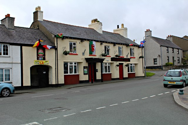
Bull Bay, Anglesey
Bull Bay (Welsh: Porth Llechog) is a village and bay on the northern coast of Anglesey, Wales, close to Amlwch. Its Welsh name, Porth Llechog, means "sheltered...
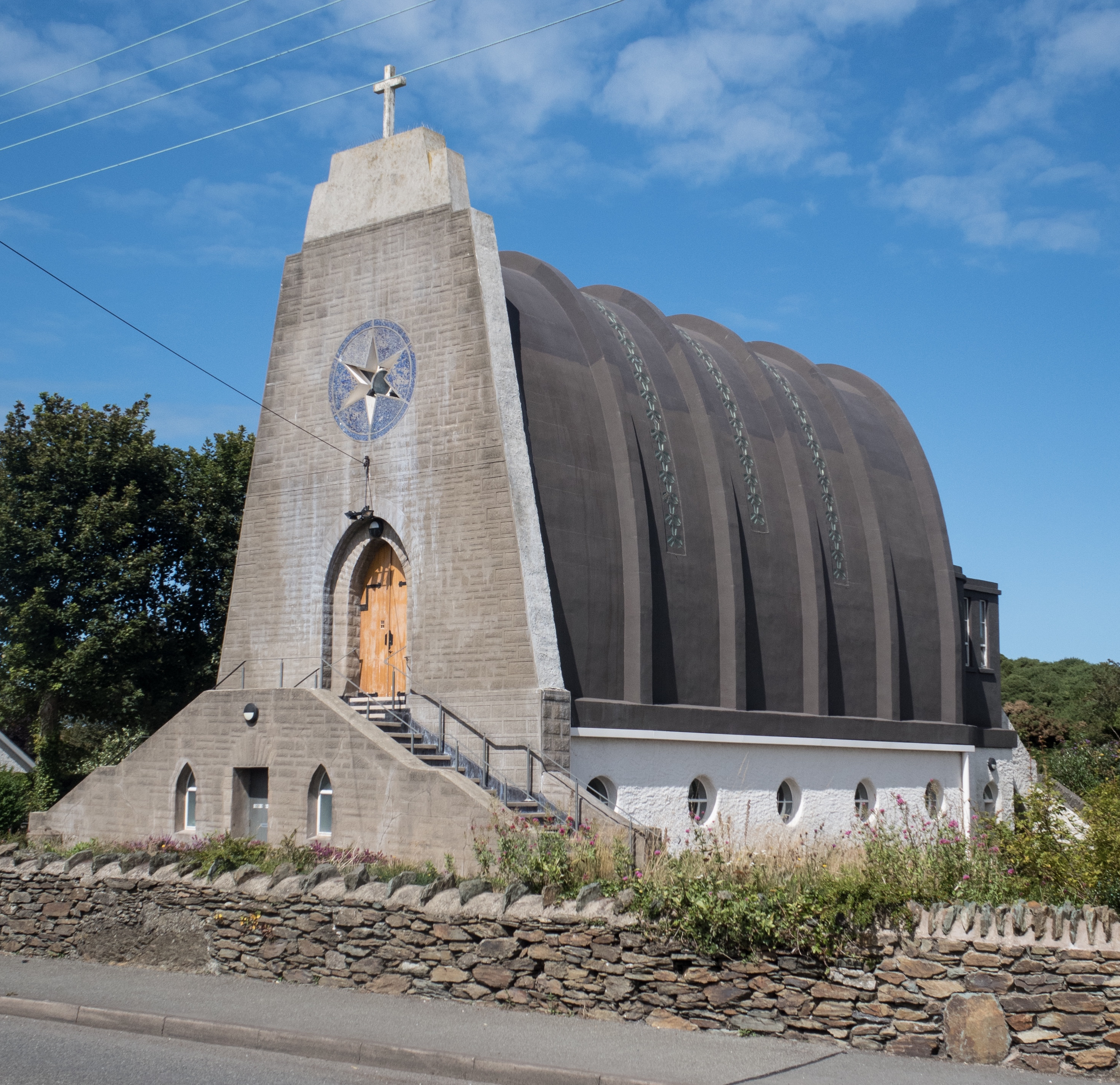
Our Lady Star of the Sea and St Winefride, Amlwch
Our Lady Star of the Sea and St Winefride (Welsh: Mair, Seren Y Mor a Santes Wenfrewi) is a Roman Catholic church in Amlwch, a town on the island of Anglesey...

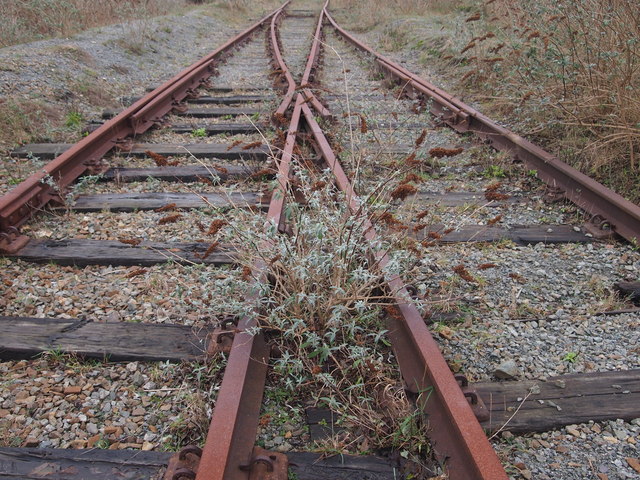
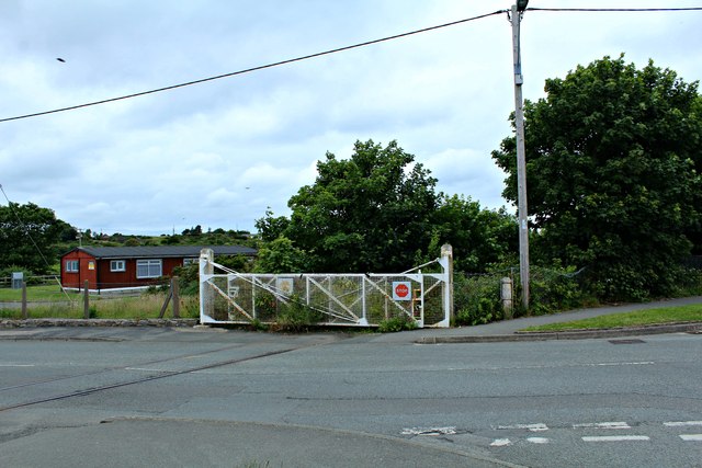
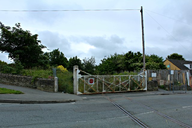
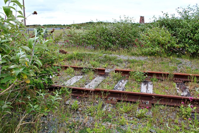
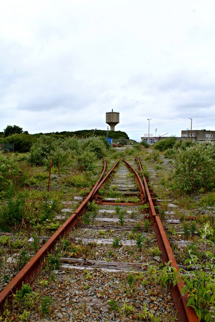
Anglesey Central Railway
The Anglesey Central Railway (Welsh: Lein Amlwch, Amlwch Line) was a 17.5-mile (28.2 km) standard-gauge railway in Anglesey, Wales, connecting the port...
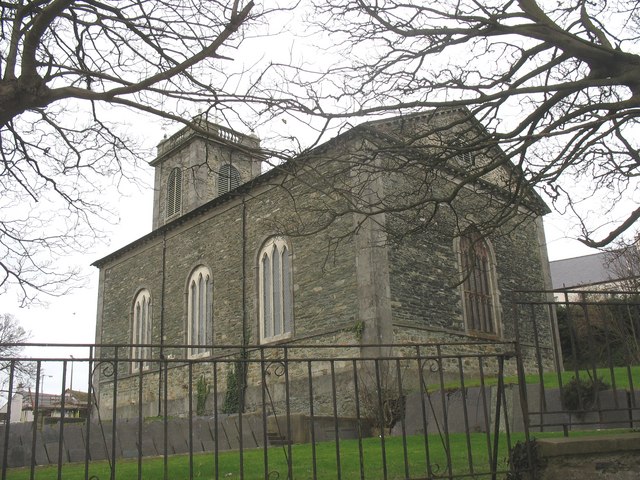
St Eleth's Church, Amlwch
St Eleth's Church, Amlwch is a parish church built in the Neo-classical style in 1800 in Amlwch, a town on the island of Anglesey in north Wales. It stands...
Related Videos


A summer day at Bull Bay, Anglesey
Test video for my DJI Mavic Mini, shot 7 July 2021. Permission was gained for the flyovers.

Nearby Amenities
Located within 500m of 53.415246,-4.3541886Have you been to Traeth Dynion?
Leave your review of Traeth Dynion below (or comments, questions and feedback).