Y Crochan
Island in Anglesey
Wales
Y Crochan
The requested URL returned error: 429 Too Many Requests
If you have any feedback on the listing, please let us know in the comments section below.
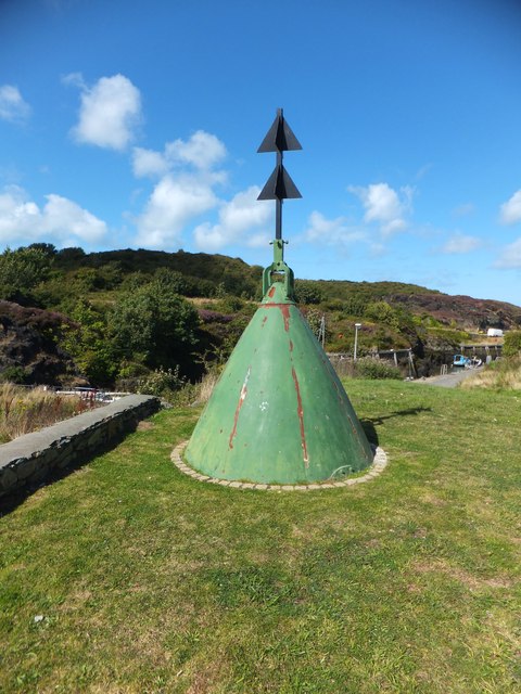
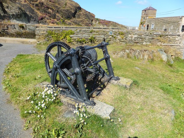
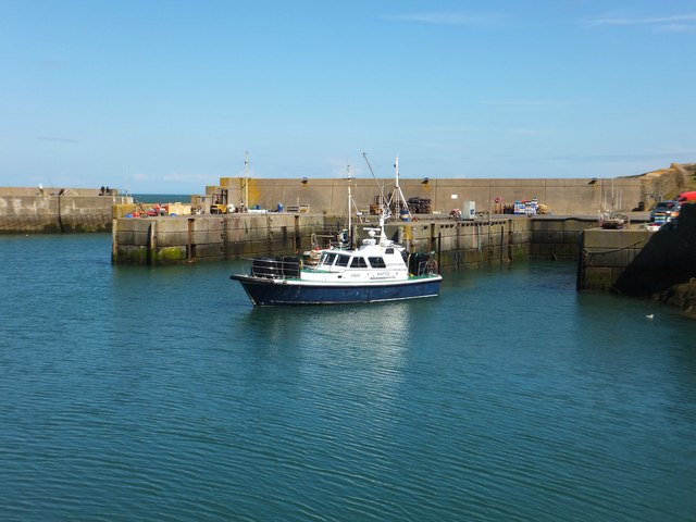
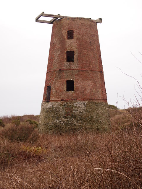
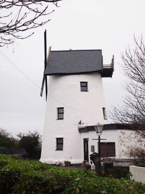
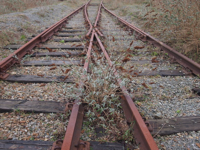
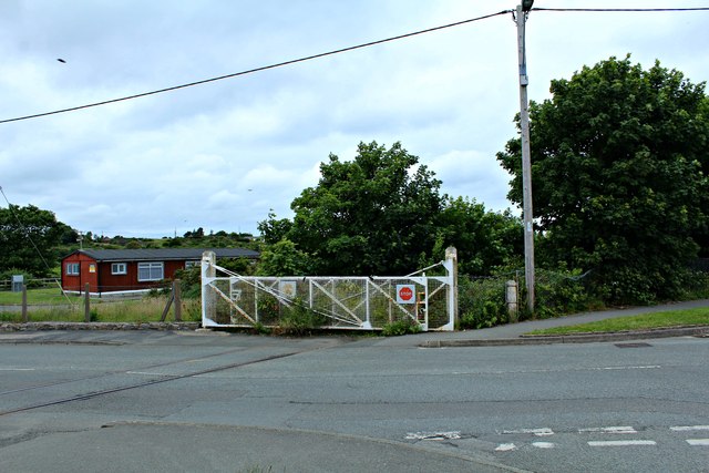
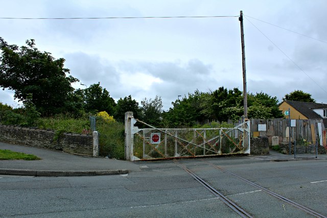
Y Crochan Images
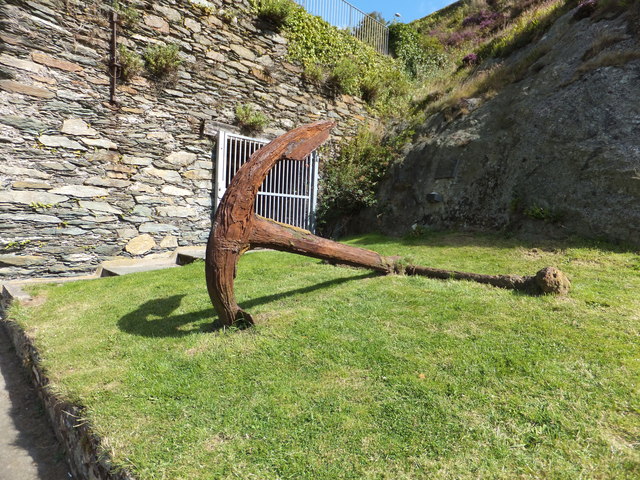
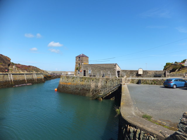
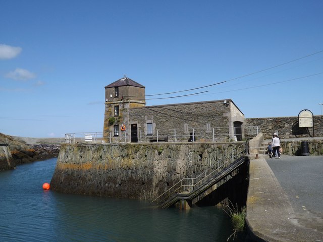
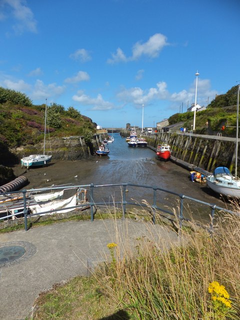
Images are sourced within 2km of 53.417479/-4.362183 or Grid Reference SH4393. Thanks to Geograph Open Source API. All images are credited.


Y Crochan is located at Grid Ref: SH4393 (Lat: 53.417479, Lng: -4.362183)
Unitary Authority: Isle of Anglesey
Police Authority: North Wales
What 3 Words
///boxer.washable.brass. Near Amlwch, Isle of Anglesey
Nearby Locations
Related Wikis

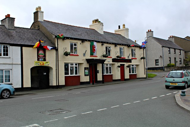
Bull Bay, Anglesey
Bull Bay (Welsh: Porth Llechog) is a village and bay on the northern coast of Anglesey, Wales, close to Amlwch. Its Welsh name, Porth Llechog, means "sheltered...
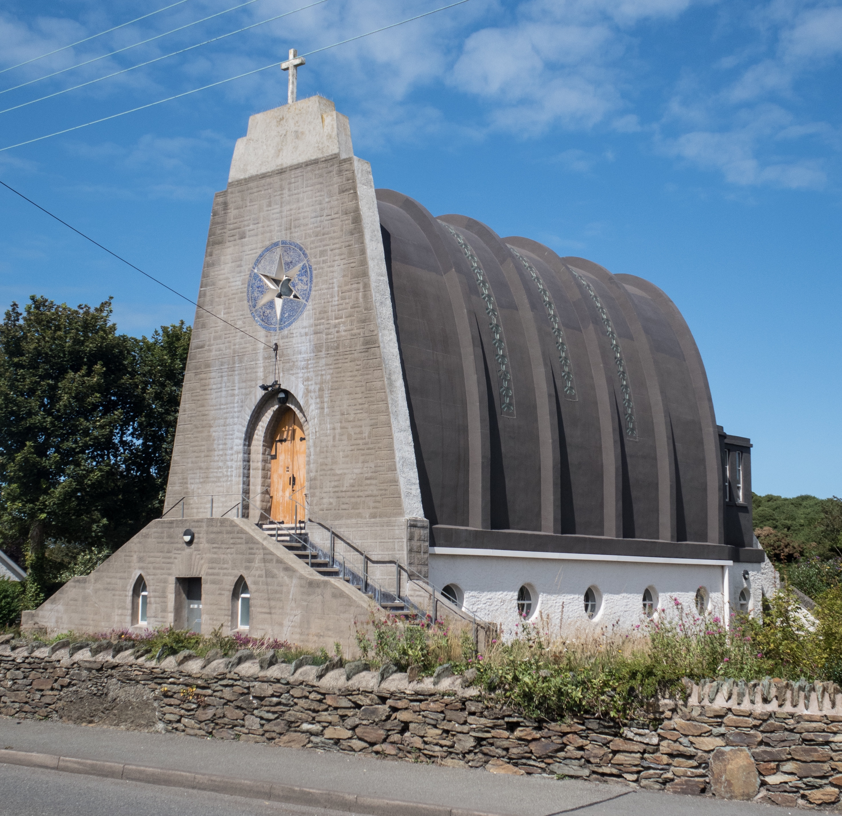
Our Lady Star of the Sea and St Winefride, Amlwch
Our Lady Star of the Sea and St Winefride (Welsh: Mair, Seren Y Mor a Santes Wenfrewi) is a Roman Catholic church in Amlwch, a town on the island of Anglesey...

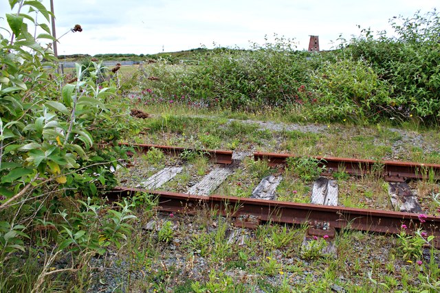
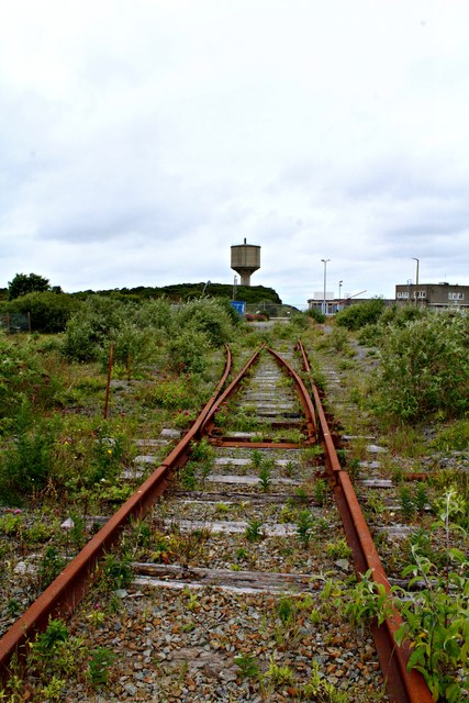
Anglesey Central Railway
The Anglesey Central Railway (Welsh: Lein Amlwch, Amlwch Line) was a 17.5-mile (28.2 km) standard-gauge railway in Anglesey, Wales, connecting the port...
Burwen
Burwen is a village in Anglesey, Wales, in the community of Amlwch. Located on the A5025, it is 1 kilometre southwest of the larger village of Bull Bay...
Related Videos


A summer day at Bull Bay, Anglesey
Test video for my DJI Mavic Mini, shot 7 July 2021. Permission was gained for the flyovers.

Nearby Amenities
Located within 500m of 53.417479,-4.362183Have you been to Y Crochan?
Leave your review of Y Crochan below (or comments, questions and feedback).