Port Chamuill

Bay in Sutherland

Scotland

Port Chamuill

Gorse in full bloom overlooking Ard Neackie Loch Eriboll and its environs offer some of Scotland's finest and wildest scenery.
Gorse in full bloom overlooking Ard Neackie Credit: Des Colhoun

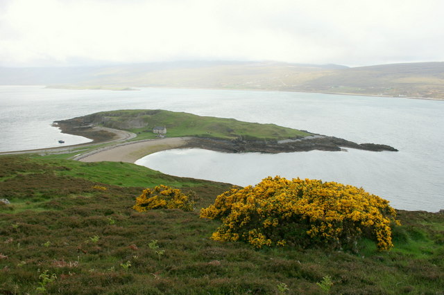
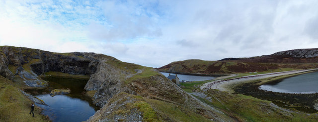
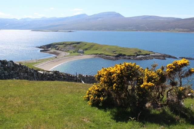
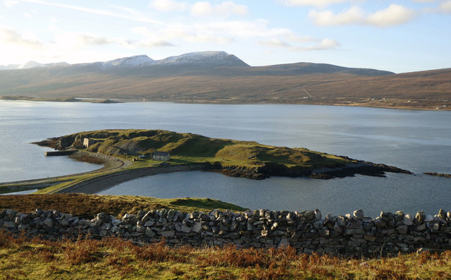
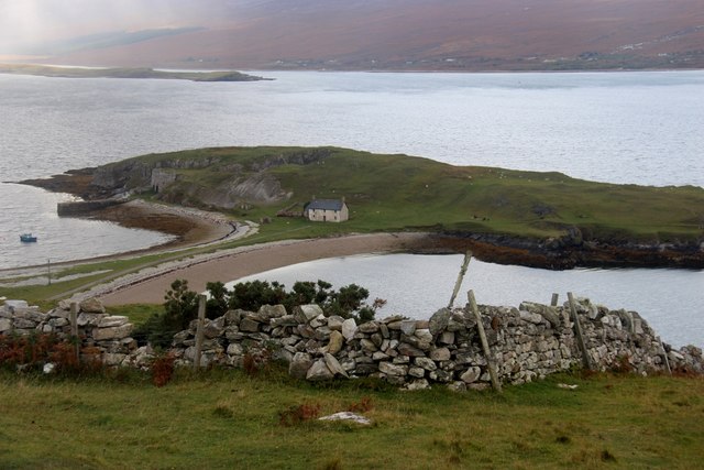
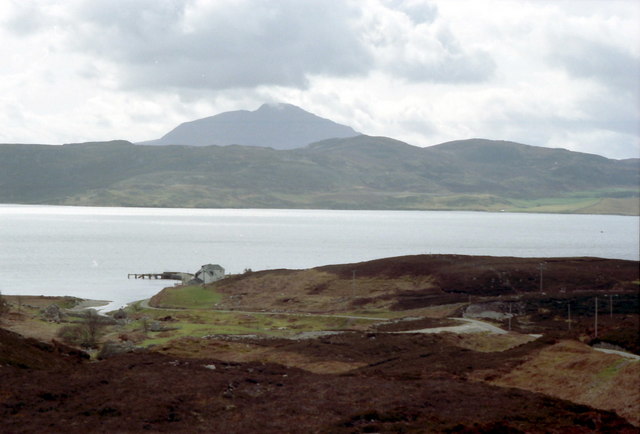
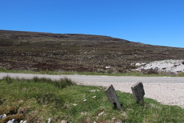
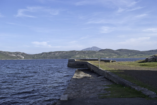
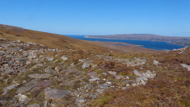
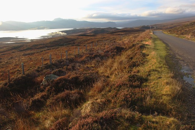
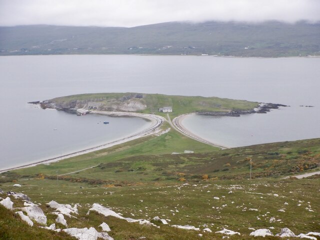
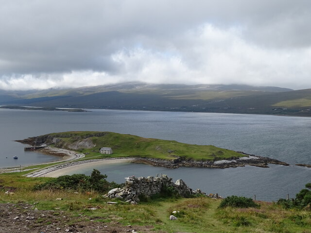
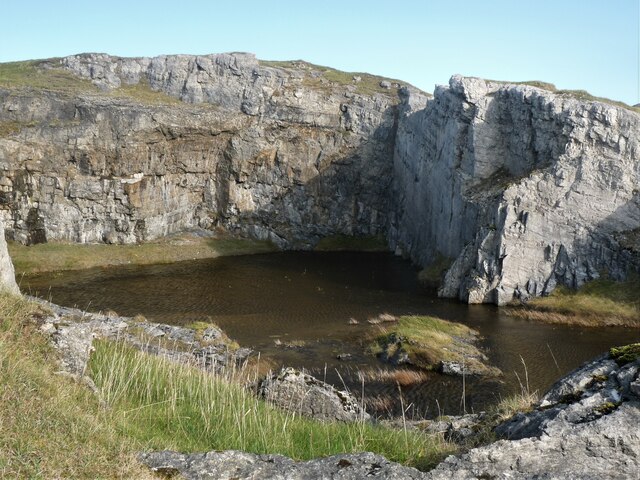
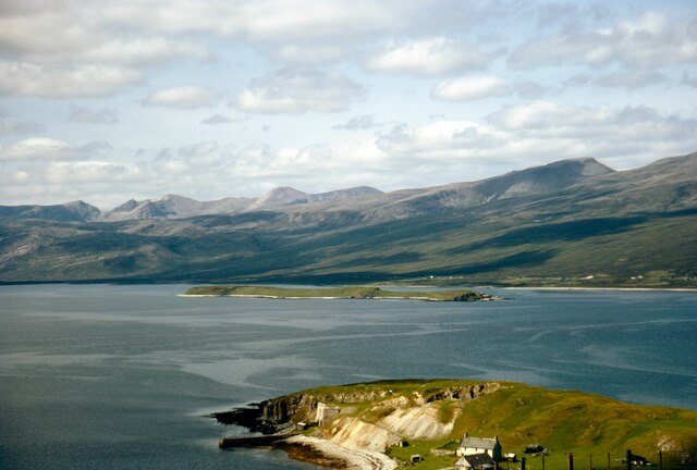
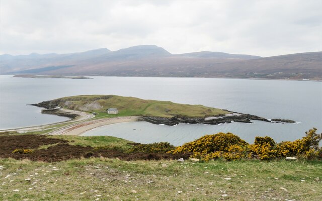
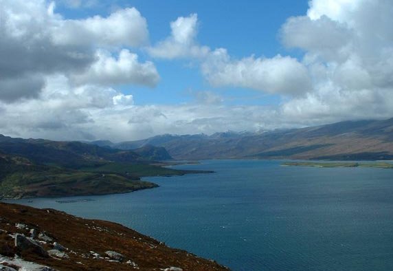
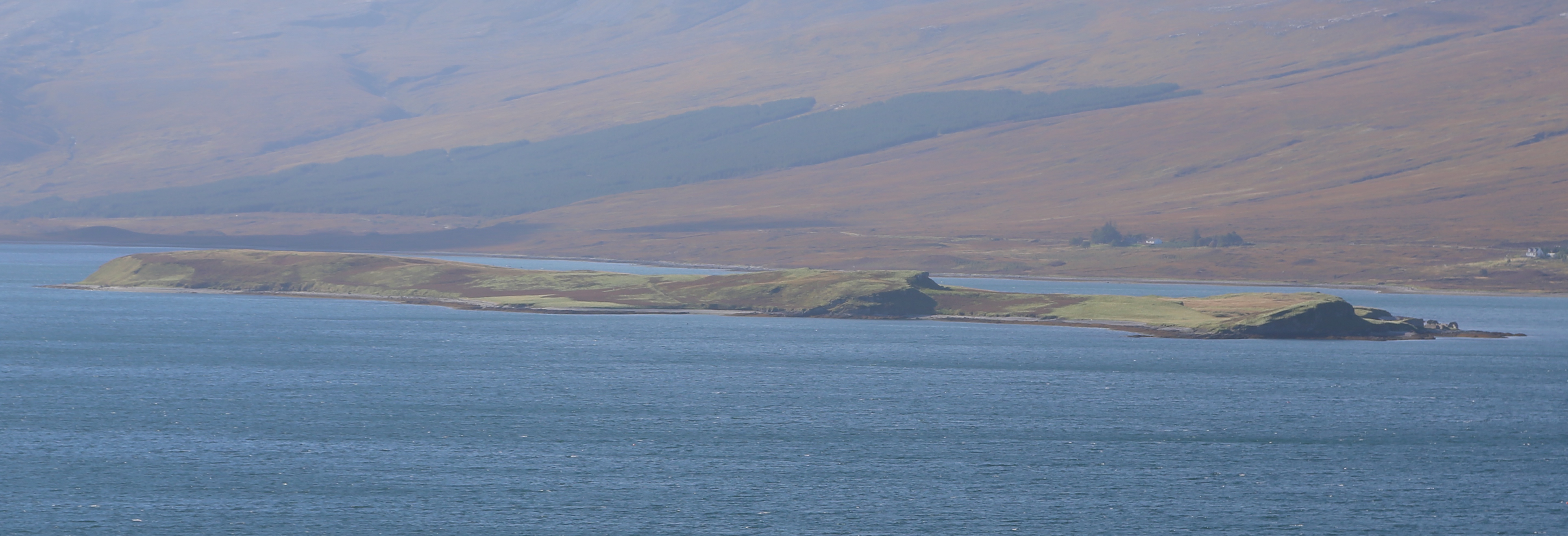
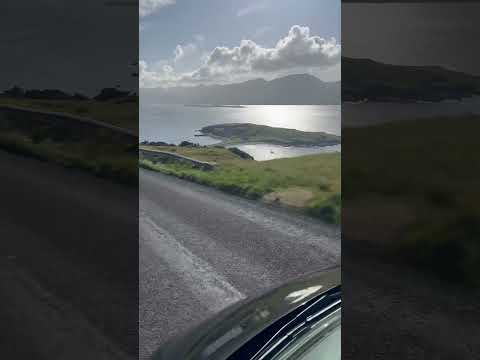
Port Chamuill is a small bay located in the county of Sutherland, in the northern part of Scotland. It is situated on the west coast of the county, facing the Atlantic Ocean. The bay is surrounded by picturesque landscapes, characterized by rugged cliffs, rolling hills, and pristine sandy beaches.

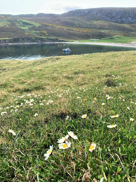
Port Chamuill is known for its tranquility and natural beauty, making it a popular destination for nature lovers and outdoor enthusiasts. The bay offers a peaceful and secluded atmosphere, away from the bustling tourist crowds often found in more popular coastal towns.

The bay's sandy beaches are a prominent feature, providing visitors with the opportunity to relax, sunbathe, or engage in various beach activities such as swimming and beachcombing. The crystal-clear waters are relatively calm, making it an ideal spot for water sports like kayaking and paddleboarding.

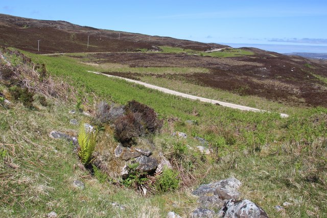
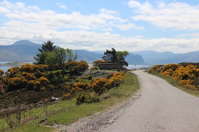
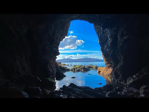
For those who prefer exploring on foot, the surrounding area offers numerous hiking trails with breathtaking views of the bay and the surrounding landscape. One of the most notable trails is the Chamuill Heritage Walk, which takes visitors through ancient ruins, providing insights into the region's rich history.

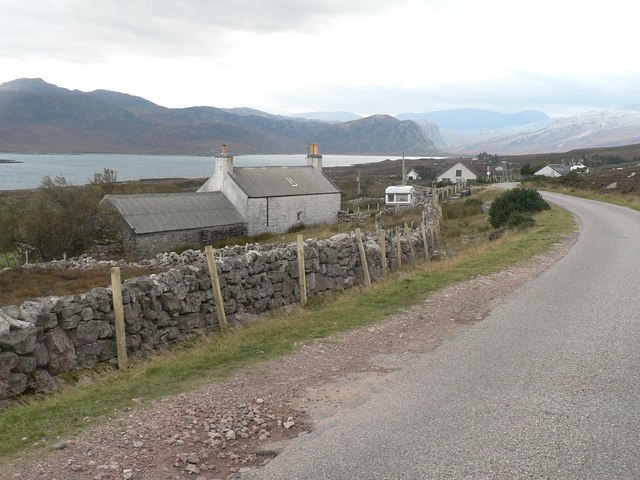
Although Port Chamuill itself is a small bay with limited infrastructure, there are nearby villages where visitors can find accommodation, restaurants, and other amenities. The bay's remote location also allows for stargazing opportunities, as light pollution is minimal, making it a perfect spot for astronomy enthusiasts.

Overall, Port Chamuill provides a peaceful and scenic escape for those looking to immerse themselves in the natural wonders of Sutherland's coastal beauty.

If you have any feedback on the listing, please let us know in the comments section below.

Port Chamuill Images

Images are sourced within 2km of 58.510045/-4.6910223 or Grid Reference NC4361. Thanks to Geograph Open Source API. All images are credited.

Gorse in full bloom overlooking Ard Neackie Loch Eriboll and its environs offer some of Scotland's finest and wildest scenery.
Gorse in full bloom overlooking Ard Neackie
Loch Eriboll and its environs offer some of Scotland's finest and wildest scenery.
Ard Neakie quarry
Ard Neakie quarry
Àrd Neackie, Loch Eriboll
Àrd Neackie Almost an island.
Àrd Neackie
Almost an island.
Àrd Neackie, Loch Eriboll
Portnancon pier Jutting out into Loch Eriboll.  Ben Hope in the distance.
Portnancon pier
Jutting out into Loch Eriboll. Ben Hope in the distance.
The road down to Port Chamuill cuts through emerging bracken
A838 running southwest above Loch Eriboll
Moorland slopes above Loch Eriboll
Portnancon - Ben Hope beyond
Durness path network route This view from the lochan in <a href="https://www.geograph.org.uk/photo/3975290">NC4161 : Lochan below Meall Meadhonach</a> shows the line of a new addition to the Durness path network. Having crossed the outlet burn from the lochan, the route traverses the slope in the background, crossing the shoulder below the gentle swelling on the line of the sea horizon.
Durness path network route
This view from the lochan in NC4161 : Lochan below Meall Meadhonach shows the line of a new addition to the Durness path network. Having crossed the outlet burn from the lochan, the route traverses the slope in the background, crossing the shoulder below the gentle swelling on the line of the sea horizon.
A838 above Loch Eriboll
Ard Neackie View from Druim na Teanga. The limestone "island" is linked to the mainland by a tombolo. The shelter to the south was once used as a ferry terminal to cross Loch Eriboll and the house was an inn.  There are also the remains of lime burning with quarries and kilns.
Ard Neackie
View from Druim na Teanga. The limestone "island" is linked to the mainland by a tombolo. The shelter to the south was once used as a ferry terminal to cross Loch Eriboll and the house was an inn. There are also the remains of lime burning with quarries and kilns.
Ard Neackie
Ard Neackie
Ard Neackie limestone quarry
Loch Eriboll with Àrd Neackie and Eilean Choraidh Loch Eriboll with the pier at Àrd Neackie in foreground. Eilean Choraidh island beyond. The mountain on the sky line appears to be Foinaven, with possibly Cranstackie at right.
Loch Eriboll with Àrd Neackie and Eilean Choraidh
Loch Eriboll with the pier at Àrd Neackie in foreground. Eilean Choraidh island beyond. The mountain on the sky line appears to be Foinaven, with possibly Cranstackie at right.
The classic tombolo Ard Neackie is a classic tombolo, being attached to the mainland by a thin spit of land. Also notable as being a limestone outcrop - a dolomitic type of the Durness formation which appears in a strip close to the Moine Thrust.
The classic tombolo
Ard Neackie is a classic tombolo, being attached to the mainland by a thin spit of land. Also notable as being a limestone outcrop - a dolomitic type of the Durness formation which appears in a strip close to the Moine Thrust.
Burnet rose on Ard Neackie
Show me another place!

Port Chamuill is located at Grid Ref: NC4361 (Lat: 58.510045, Lng: -4.6910223)

Unitary Authority: Highland

Police Authority: Highlands and Islands

What 3 Words

///condition.needed.credited. Near Oldshoremore, Highland

Related Wikis

Portnancon

Portnacon is a small remote crofting township, and former fishing station, on the west shore of Loch Eriboll in Sutherland, Scottish Highlands in the...

Loch Eriboll

Loch Eriboll (Scottish Gaelic: "Loch Euraboil") is a 16 km (9.9 mi) long sea loch on the north coast of Scotland, which has been used for centuries as...

Laid, Sutherland

Laid is a remote, linear crofting township scattered along the A838 road on the western shore of the sea loch, Loch Eriboll in Sutherland in the northern...

Eilean Choraidh

Eilean Choraidh, also known as Horse Island is an island in Loch Eriboll in Sutherland on the north coast of Scotland. It is about 26 hectares (64 acres...

Related Videos

#allah #muslim #quran #islamicquotes #muslimah #scotland #nature #visitscotland #highlands #travel

Loch Eriboll, Highland-Scotland & There is one lime kilns, which is called Ard Neakie Lime Kilns, and it was once the site of an ...

Loch Eriboll On Visit To North Coast Of Highlands Of Scotland

Tour Scotland travel video, with Scottish music, of Loch Eriboll, Scottish Gaelic: Loch Euraboil, a sea loch on visit to the North ...

Highland NC500 Forever and More by Jaguar San Loch Eriboll 2022 part 2

Take a trip on a little blue boat and discover Scotland's treasured secrets. Please share! Questions? Get in touch by emailing ...

Nearby Amenities

Located within 500m of 58.510045,-4.6910223
Source: PGS
Lat/Long: 58.506102/-4.6943946
Source: PGS
Lat/Long: 58.5062179/-4.6949538
Source: PGS
Lat/Long: 58.5068506/-4.6948196
Source: PGS
Lat/Long: 58.5076015/-4.6943197
Source: PGS
Lat/Long: 58.5079185/-4.6940827
Source: PGS
Lat/Long: 58.5082183/-4.6939767
Source: PGS
Lat/Long: 58.508658/-4.6940748
Source: PGS
Lat/Long: 58.5092679/-4.6942033
Source: PGS
Lat/Long: 58.5099753/-4.6927857
Source: PGS
Lat/Long: 58.5086744/-4.6912385
Source: PGS
Lat/Long: 58.5084699/-4.6912654
Source: PGS
Lat/Long: 58.5082114/-4.6909296
Source: PGS
Lat/Long: 58.5079575/-4.6910434
Created By: almien_coastlines
Source: PGS
Lat/Long: 58.508049/-4.690634
Source: PGS
Lat/Long: 58.5084431/-4.6896882
Source: PGS
Lat/Long: 58.5083388/-4.68819
Created By: almien_coastlines
Source: PGS
Lat/Long: 58.508213/-4.687952
Created By: almien_coastlines
Source: PGS
Lat/Long: 58.508343/-4.687713
Source: PGS
Lat/Long: 58.5086928/-4.6869718
Source: PGS
Lat/Long: 58.5091805/-4.6861495
Source: PGS
Lat/Long: 58.5094672/-4.6856339
Created By: almien_coastlines
Source: PGS
Lat/Long: 58.509787/-4.685092
Created By: almien_coastlines
Source: PGS
Lat/Long: 58.509917/-4.684853
Created By: almien_coastlines
Source: PGS
Lat/Long: 58.510049/-4.684616
Created By: almien_coastlines
Source: PGS
Lat/Long: 58.510179/-4.684377
Created By: almien_coastlines
Source: PGS
Lat/Long: 58.510311/-4.684139
Created By: almien_coastlines
Source: PGS
Lat/Long: 58.510442/-4.6839
Created By: almien_coastlines
Source: PGS
Lat/Long: 58.510573/-4.683662
Created By: almien_coastlines
Source: PGS
Lat/Long: 58.510704/-4.683423
Source: PGS
Lat/Long: 58.5109247/-4.6832933
Source: PGS
Lat/Long: 58.5114269/-4.6829034
Source: PGS
Lat/Long: 58.5129434/-4.6861332
Source: PGS
Lat/Long: 58.5132971/-4.6858412
The data included in this document is from www.openstreetmap.org. The data is made available under ODbL.

Have you been to Port Chamuill?

Leave your review of Port Chamuill below (or comments, questions and feedback).