Arthog Waterfalls

Waterfall in Merionethshire

Wales

Arthog Waterfalls

Minor road near Cregennan Lakes
Minor road near Cregennan Lakes Credit: Steven Brown

Arthog Waterfalls, located in Merionethshire, Wales, is a mesmerizing natural attraction that offers breathtaking views and a tranquil ambiance. Situated in the southern part of Snowdonia National Park, this waterfall is easily accessible and draws visitors from near and far.

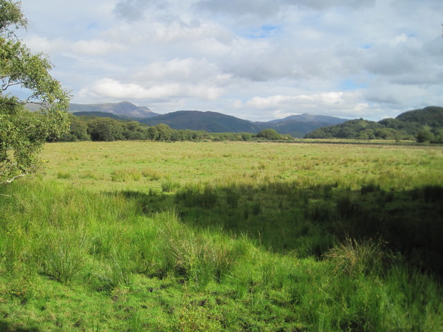
The waterfall is nestled within a dense, picturesque woodland, creating a serene and enchanting setting. As water cascades down the rocks, it creates a soothing sound that can be heard from a distance. The waterfall is surrounded by lush vegetation, including ferns and moss-covered trees, adding to its natural beauty.

The main waterfall at Arthog is a magnificent sight, with water plunging down a series of rocky steps. It is an impressive display of nature's power and showcases the force of the cascading water. Visitors often find themselves captivated by the sheer size and force of the waterfall.

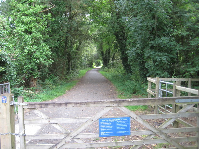
There are walking trails that lead visitors along the riverbank, providing different vantage points to view the waterfall. The trails are well-maintained and suitable for all fitness levels, making it accessible to a wide range of visitors. Along the way, visitors can enjoy the peaceful surroundings and spot various wildlife, including birds and small mammals.

Arthog Waterfalls is a popular spot for nature lovers, photographers, and those seeking tranquility in the midst of stunning scenery. Whether you visit to admire the beauty of the waterfall, go for a peaceful walk, or simply soak up the peaceful atmosphere, Arthog Waterfalls is sure to leave a lasting impression on all who visit.

If you have any feedback on the listing, please let us know in the comments section below.

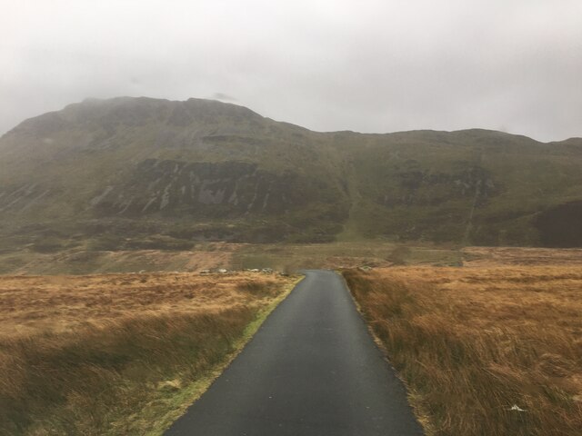
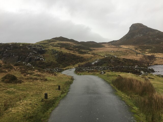
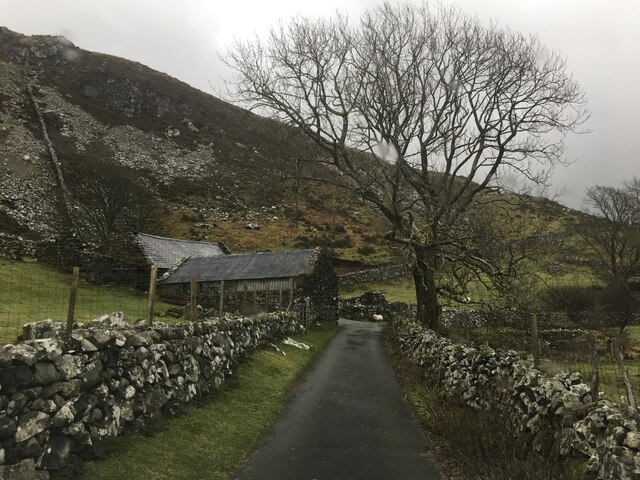
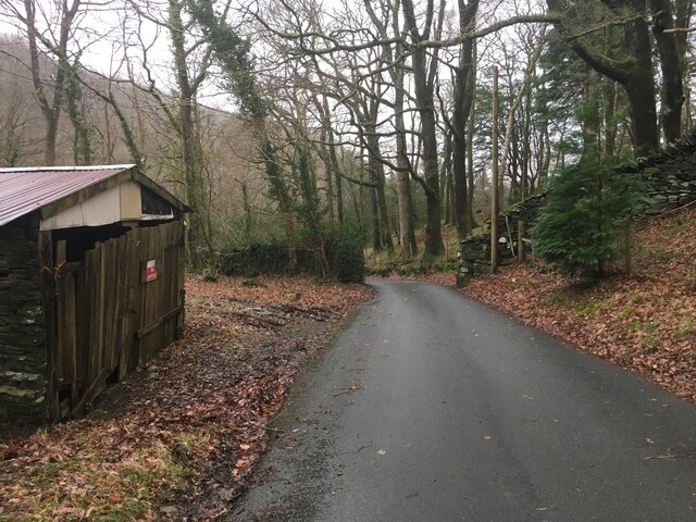
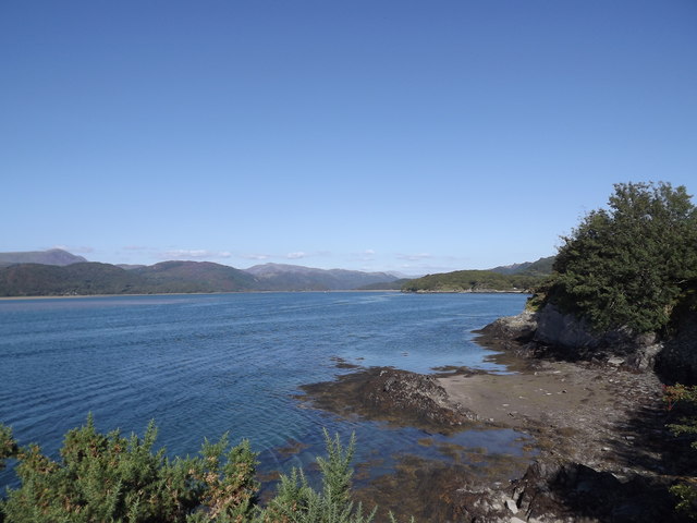
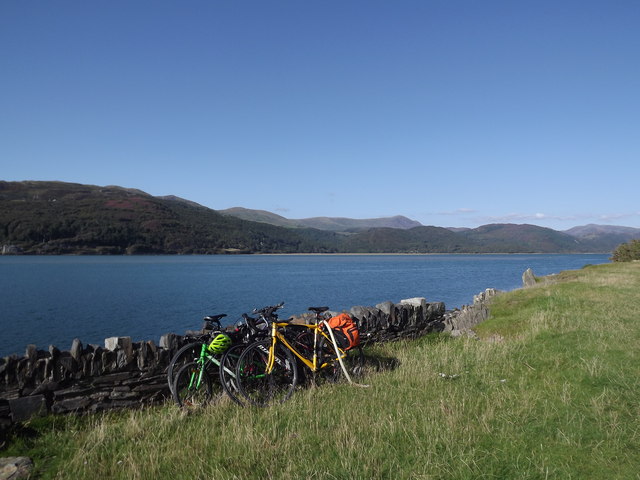
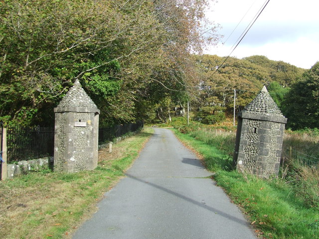
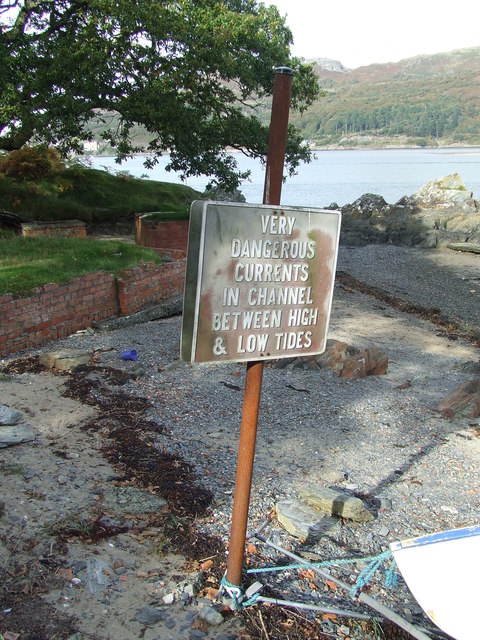
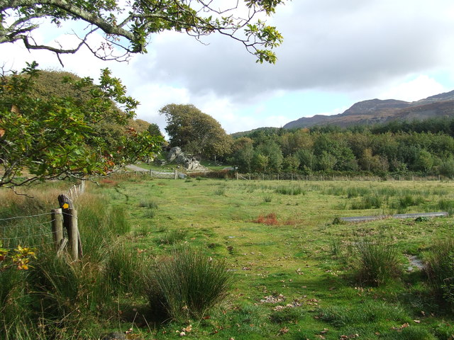
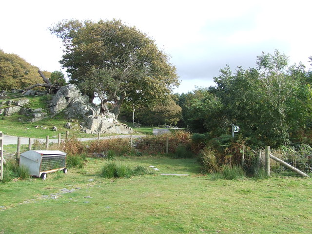
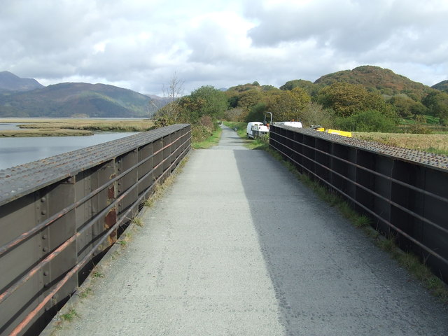
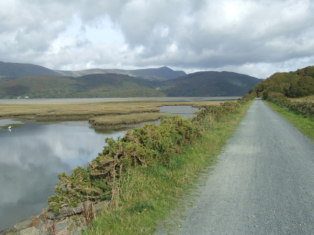
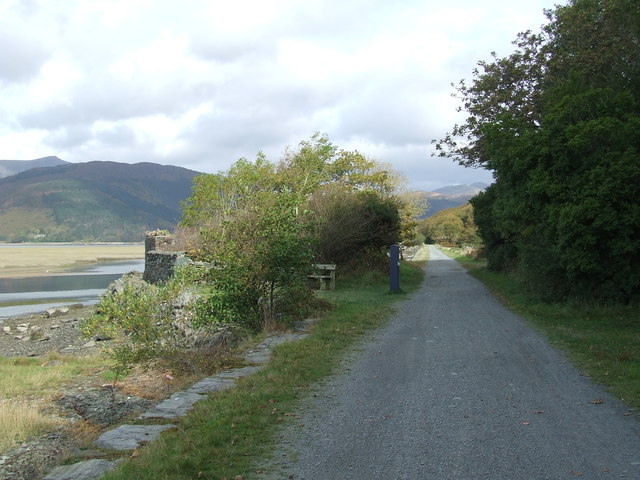
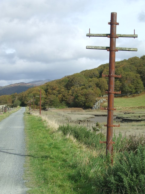
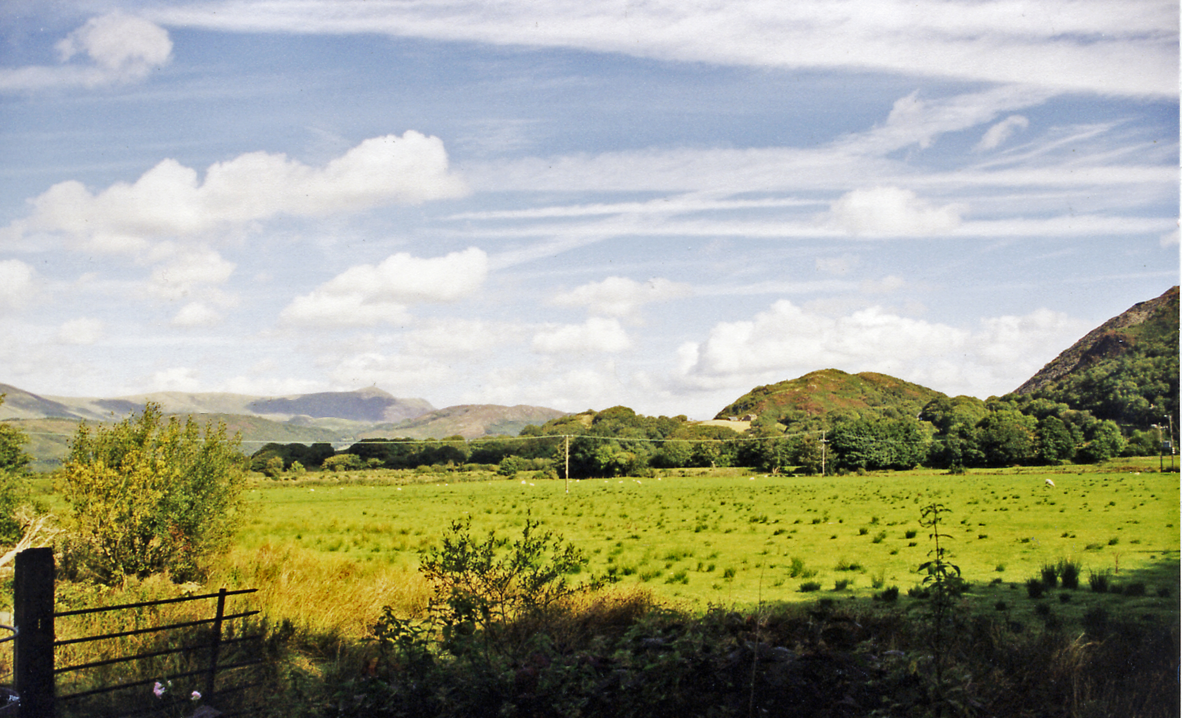
Arthog Waterfalls Images

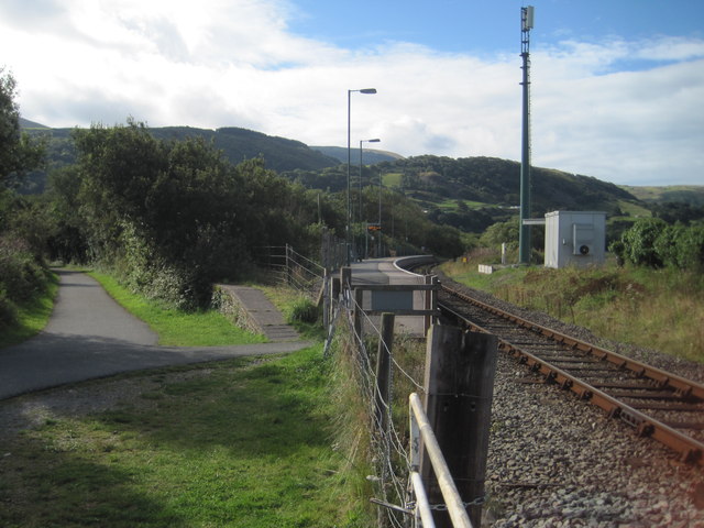
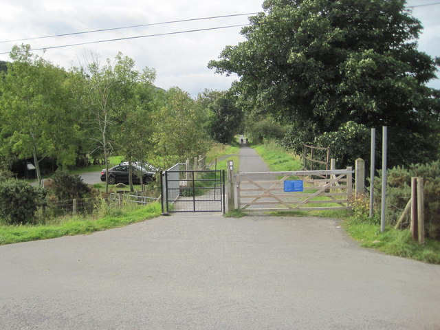
Images are sourced within 2km of 52.709883/-4.0033413 or Grid Reference SH6414. Thanks to Geograph Open Source API. All images are credited.

Minor road near Cregennan Lakes
Minor road near the Cregennan Lakes
Minor road near Gefnir Farm
Minor road near Arthog
Morfa Mawddach railway station, Gwynedd Opened in 1865 on the Aberystwyth & Welsh Coast Railway's line from Machynlleth to Pwllheli, this soon became part of the Cambrian Railway's empire. The station was called Barmouth Junction until 1960.
View south towards Fairbourne and Machynlleth. There were previously four platforms here, two for Machynlleth to the right and two to the left for Dolgellau and Ruabon (closed in 1965). Taken from a similar position to <a href="https://www.geograph.org.uk/photo/1973689">SH6214 : Morfa Mawddach Station</a> some 53 years earlier.
Morfa Mawddach railway station, Gwynedd
Opened in 1865 on the Aberystwyth & Welsh Coast Railway's line from Machynlleth to Pwllheli, this soon became part of the Cambrian Railway's empire. The station was called Barmouth Junction until 1960. View south towards Fairbourne and Machynlleth. There were previously four platforms here, two for Machynlleth to the right and two to the left for Dolgellau and Ruabon (closed in 1965). Taken from a similar position to SH6214 : Morfa Mawddach Station some 53 years earlier.
Arthog railway station (site), Gwynedd Opened in 1879 on the Aberystwyth & Welsh Coast Railway's line from Barmouth Junction (now Morfa Mawddach) to Dolgellau, this soon became part of the Cambrian Railway's empire. The station closed in 1965.
View south west towards Morfa Mawddach. There was a single wooden platform beyond where the gate on the left now is.
Arthog railway station (site), Gwynedd
Opened in 1879 on the Aberystwyth & Welsh Coast Railway's line from Barmouth Junction (now Morfa Mawddach) to Dolgellau, this soon became part of the Cambrian Railway's empire. The station closed in 1965. View south west towards Morfa Mawddach. There was a single wooden platform beyond where the gate on the left now is.
Former Barmouth Junction to Dolgellau railway line Now the Mawddach Trail.
Former Barmouth Junction to Dolgellau railway line
Now the Mawddach Trail.
Marshland near Arthog
Afon Mawddach estuary The south bank of the Afon Mawddach, just to the east of Barmouth railway and foot bridge.
Looking east north-east up the estuary towards Dolgellau.
Afon Mawddach estuary
The south bank of the Afon Mawddach, just to the east of Barmouth railway and foot bridge. Looking east north-east up the estuary towards Dolgellau.
Afon Mawddach estuary The south bank of the Afon Mawddach estuary.
To the west is Barmouth Bridge which, apart from the railway track, has a footbridge incorporated on the eastern side of the bridge and pedestrians, cyclists and motorcycles can cross the estuary by the side of the track.
Since 1996, this has formed part of the National Cycle Route that links North and South Wales.
Also, a few hundred metres to the south, the Mawddach Trail (footpath and cycle route) follows a disused railway line and runs for 9 miles along the estuary from Dolgellau to Barmouth.
So if you enjoy cycling - an ideal place to bring your bike!
Afon Mawddach estuary
The south bank of the Afon Mawddach estuary. To the west is Barmouth Bridge which, apart from the railway track, has a footbridge incorporated on the eastern side of the bridge and pedestrians, cyclists and motorcycles can cross the estuary by the side of the track. Since 1996, this has formed part of the National Cycle Route that links North and South Wales. Also, a few hundred metres to the south, the Mawddach Trail (footpath and cycle route) follows a disused railway line and runs for 9 miles along the estuary from Dolgellau to Barmouth. So if you enjoy cycling - an ideal place to bring your bike!
Gateposts Gateposts near to Arthog, Gwynedd.
Gateposts
Gateposts near to Arthog, Gwynedd.
Warning Sign Warning sign near to Arthog, Gwynedd.
Warning Sign
Warning sign near to Arthog, Gwynedd.
Marked Footpath Marked footpath near to Arthog, Gwynedd.
Marked Footpath
Marked footpath near to Arthog, Gwynedd.
Footpath Sign Footpath sign near to Arthog, Gwynedd.
Footpath Sign
Footpath sign near to Arthog, Gwynedd.
Old Railway Bridge Old railway bridge on the Mawddach Trail near to Arthog, Gwynedd.
Old Railway Bridge
Old railway bridge on the Mawddach Trail near to Arthog, Gwynedd.
View From The Trail View as seen from the Mawddach trail near to Arthog, Gwynedd.
View From The Trail
View as seen from the Mawddach trail near to Arthog, Gwynedd.
Information Board And Ruins Information board and the ruins of a former railway cottage called Garth Isaf on the Mawddach trail near to Arthog, Gwynedd.
Information Board And Ruins
Information board and the ruins of a former railway cottage called Garth Isaf on the Mawddach trail near to Arthog, Gwynedd.
Old Telegraph Poles Old telegraph poles along the Mawddach trail near to Arthog, Gwynedd.
Old Telegraph Poles
Old telegraph poles along the Mawddach trail near to Arthog, Gwynedd.
Show me another place!

Arthog Waterfalls is located at Grid Ref: SH6414 (Lat: 52.709883, Lng: -4.0033413)

Unitary Authority: Gwynedd

Police Authority: North Wales

What 3 Words

///research.builds.pianists. Near Barmouth, Gwynedd

Related Wikis

Arthog

Arthog () is a village, post town and community in the Meirionnydd area in Gwynedd, north Wales including the villages of Fairbourne and Friog. It is located...

Arthog railway station

Arthog railway station in Gwynedd, Wales, was a station on the Dolgelly [sic] branch of the Aberystwith and Welsh Coast Railway (part of the Ruabon to...

Morfa Mawddach railway station

Morfa Mawddach railway station (formerly Barmouth Junction) is an unstaffed station located on the outskirts of the village of Arthog in Gwynedd, Wales...

Barmouth Bridge

Barmouth Bridge (Welsh: Pont Abermaw), or Barmouth Viaduct is a Grade II* listed single-track wooden railway viaduct across the estuary of the River Mawddach...

Friog

Friog (Welsh: Y Friog) is a small village in North Wales, near Fairbourne. Its lake and beach are a tourist attraction to over 1,000 visitors a year. Friog...

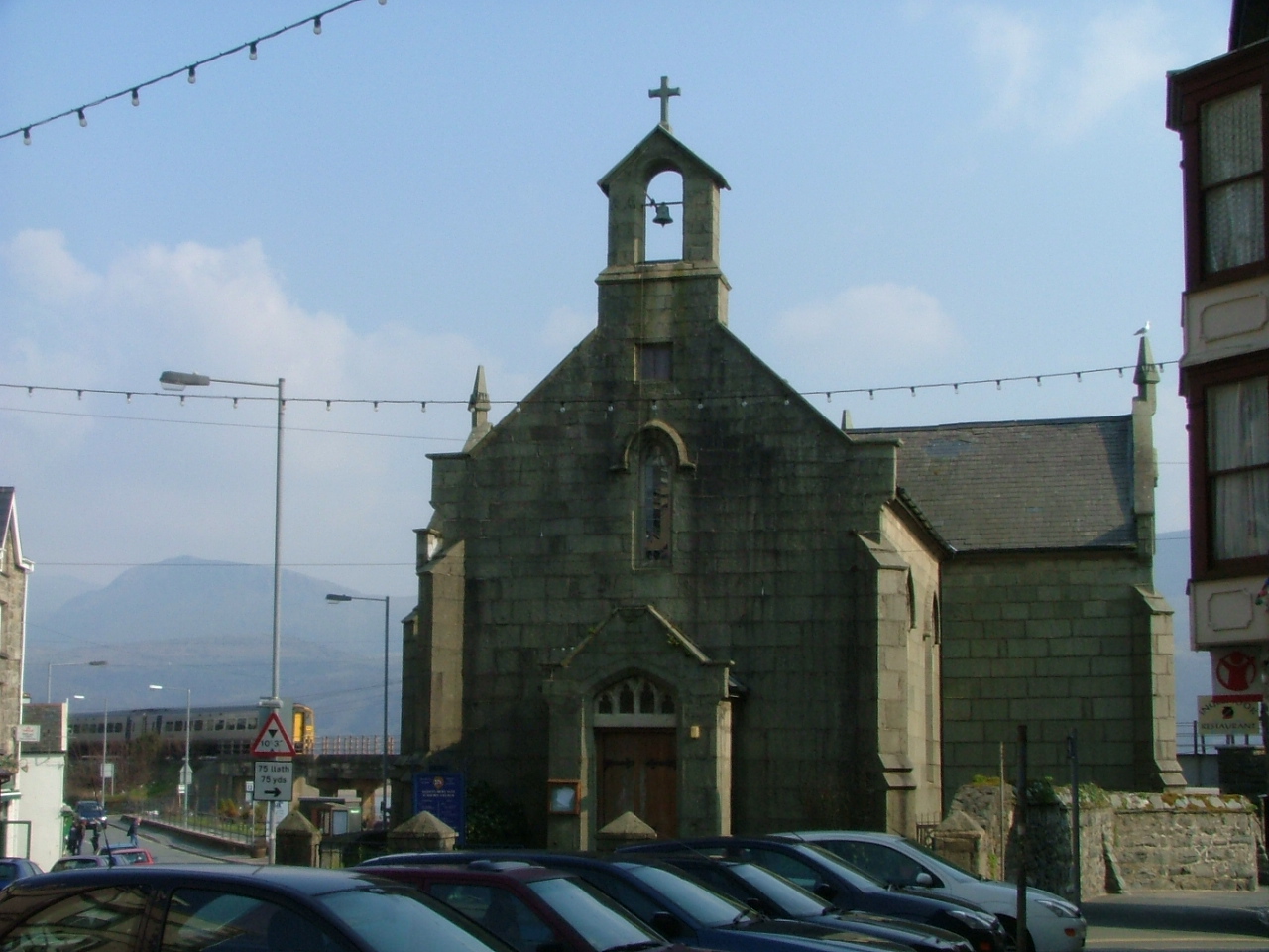
St David's Church, Barmouth

St David's Church is a Church in Wales church by the harbour of Barmouth, Gwynedd, west Wales. It is part of the Bro Ardudwy Ministry Area. == History... ==

Fairbourne railway station

Fairbourne railway station serves the village of Fairbourne in Gwynedd, Wales. It is an unstaffed station on the Cambrian Coast Railway with passenger...

Fairbourne Spit

Fairbourne Spit (also known as Penrhyn Point) is a long spit of sand and shingle at the mouth of the River Mawddach where it reaches Cardigan Bay, on the...

Nearby Amenities

Located within 500m of 52.709883,-4.0033413
Barrier: stile
Foot: yes
Lat/Long: 52.7091756/-4.0035964
Barrier: stile
Foot: yes
Lat/Long: 52.7079565/-4.0027432
Barrier: stile
Foot: yes
Lat/Long: 52.7070347/-4.0012821
Arthog
Is In: Gwynedd
Place: village
Wikidata: Q3396790
Lat/Long: 52.7116535/-4.0077788
Arthog waterfalls (series of)
Waterway: waterfall
Lat/Long: 52.7078321/-4.0023115
Place: farm
Lat/Long: 52.7090045/-4.0004468
Pont Pwll-Arthog
Place: locality
Lat/Long: 52.7122901/-4.0054979
Post Box
Lat/Long: 52.714295/-4.0043046
Bench
Lat/Long: 52.7118609/-4.0080625
The data included in this document is from www.openstreetmap.org. The data is made available under ODbL.

Have you been to Arthog Waterfalls?

Leave your review of Arthog Waterfalls below (or comments, questions and feedback).