The Spout
Waterfall in Kirkcudbrightshire
Scotland
The Spout
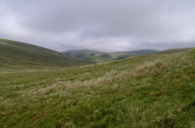
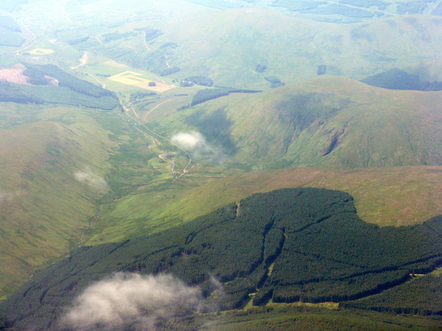
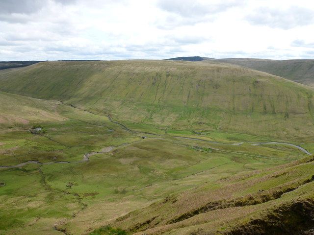
The Spout is a captivating waterfall located in Kirkcudbrightshire, a historic county in southwest Scotland. This natural wonder is nestled within the enchanting landscape of the Galloway Forest Park, approximately 10 miles south of the town of Newton Stewart. The waterfall is situated within a secluded, picturesque gorge, adding to its allure and providing a serene and peaceful atmosphere for visitors.
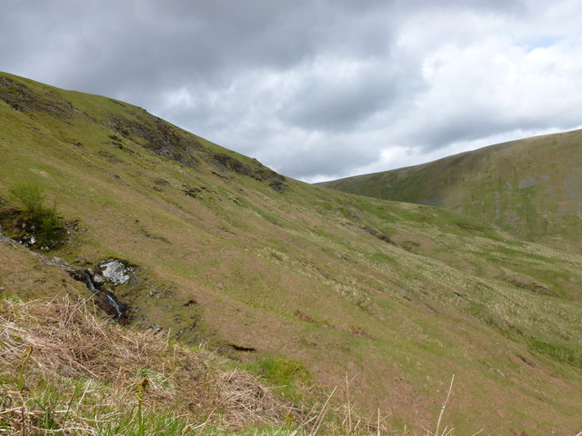
The Spout is renowned for its impressive height, as water cascades down a steep cliff face, creating a breathtaking spectacle. The waterfall boasts a vertical drop of approximately 60 feet, generating a powerful rush of water that captivates all who witness it. The surrounding lush vegetation and rugged rock formations further enhance the beauty of this natural marvel.
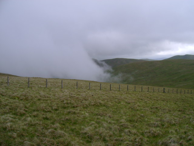
Visitors can access The Spout by following a well-maintained footpath, which winds through the enchanting woodland surrounding the waterfall. The path offers stunning viewpoints along the way, allowing visitors to appreciate the waterfall from different angles and truly immerse themselves in the captivating scenery.
The Spout is a popular destination for nature lovers, hikers, and photography enthusiasts, who are eager to capture the beauty of this natural wonder. The area surrounding the waterfall also offers opportunities for wildlife spotting, with various bird species, including the majestic golden eagle, often seen soaring above the gorge.
Overall, The Spout in Kirkcudbrightshire is a remarkable waterfall that showcases the natural beauty of Scotland's countryside. Its awe-inspiring height, coupled with the tranquil surroundings, make it a destination that continues to captivate and inspire visitors from near and far.
If you have any feedback on the listing, please let us know in the comments section below.
The Spout Images
Images are sourced within 2km of 55.283924/-4.1264403 or Grid Reference NS6500. Thanks to Geograph Open Source API. All images are credited.


The Spout is located at Grid Ref: NS6500 (Lat: 55.283924, Lng: -4.1264403)
Unitary Authority: Dumfries and Galloway
Police Authority: Dumfries and Galloway
What 3 Words
///discloses.spirits.victory. Near New Cumnock, East Ayrshire
Nearby Locations
Related Wikis

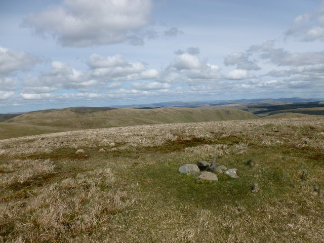
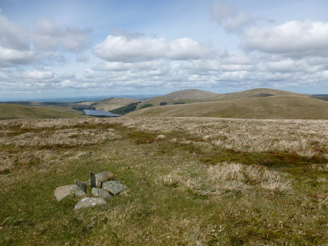
Windy Standard
Windy Standard is a hill in the Carsphairn and Scaur Hills range, part of the Southern Uplands of Scotland. It lies in Dumfries and Galloway, south of...

Blackcraig Hill
Blackcraig Hill is a hill in the Carsphairn and Scaur Hills range, part of the Southern Uplands of Scotland. It lies southeast of the town of New Cumnock...

Cairnsmore of Carsphairn
Cairnsmore of Carsphairn is a hill in the Carsphairn and Scaur Hills range, part of the Southern Uplands of Scotland. An alternative name, rarely used...
Have you been to The Spout?
Leave your review of The Spout below (or comments, questions and feedback).