Arthog
Community in Merionethshire
Wales
Arthog
Arthog is a community located in the county of Merionethshire, Wales. It is situated on the southern bank of the Mawddach Estuary, near the town of Dolgellau. The community covers an area of approximately 1.73 square kilometers and has a population of around 300 residents.
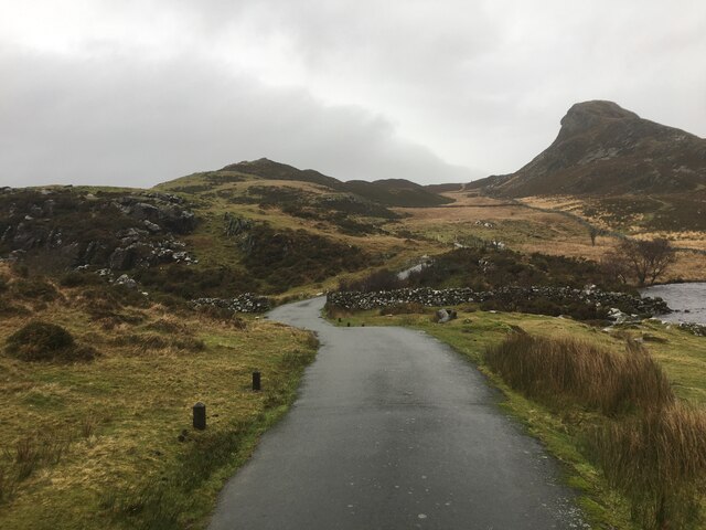
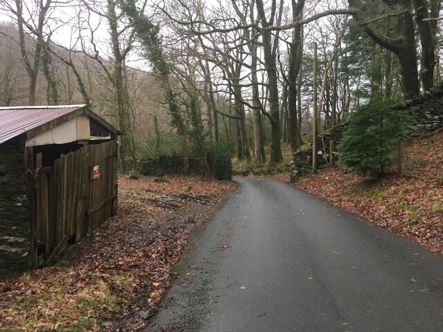
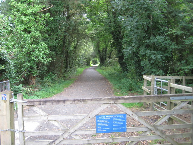
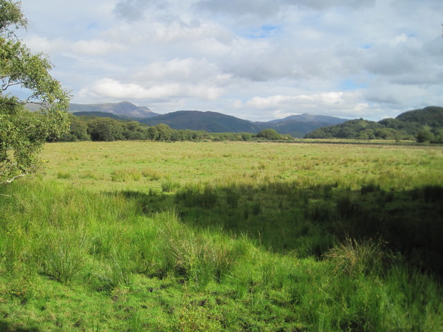
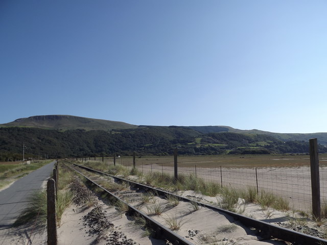
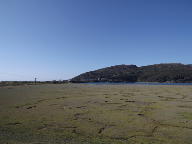
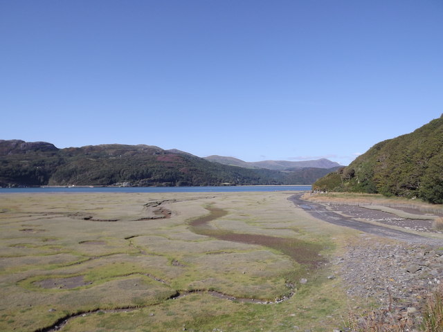
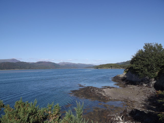
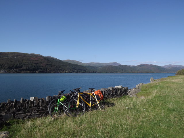
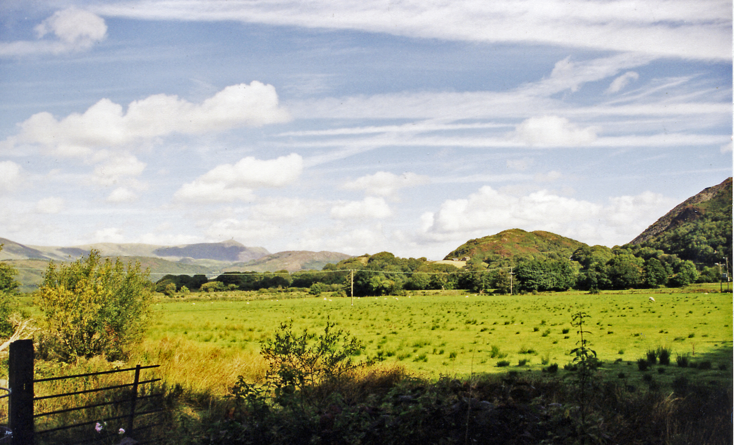
Arthog is surrounded by picturesque natural landscapes, including the nearby Cader Idris mountain range and the stunning coastline of Cardigan Bay. This makes it a popular destination for outdoor enthusiasts and nature lovers. The area offers numerous walking and hiking trails, providing breathtaking views and opportunities for wildlife spotting.
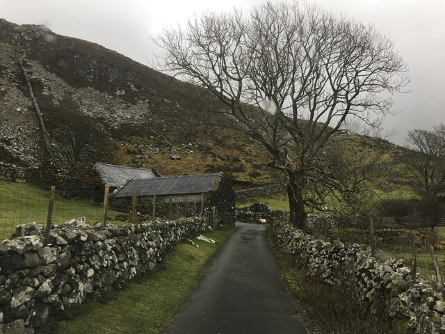
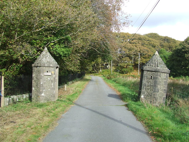
The community itself consists of a small cluster of houses, a primary school, and a village hall. Despite its relatively small size, Arthog has a strong sense of community spirit and residents actively engage in various social and recreational activities. The village hall serves as a hub for community events and gatherings.
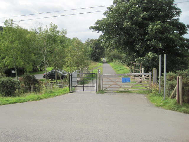
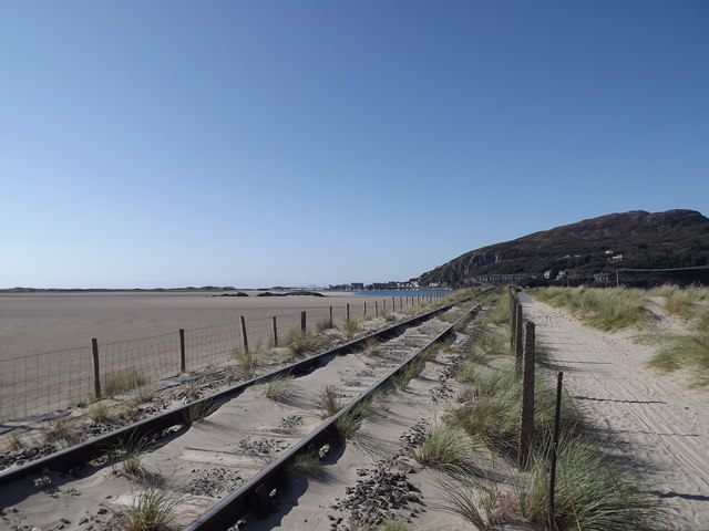
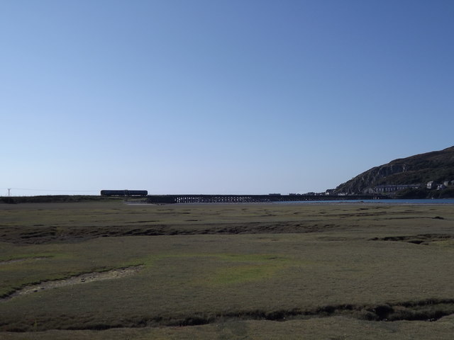
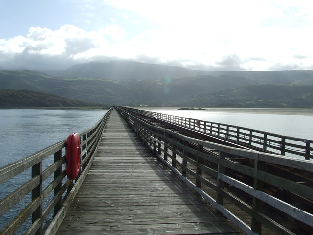
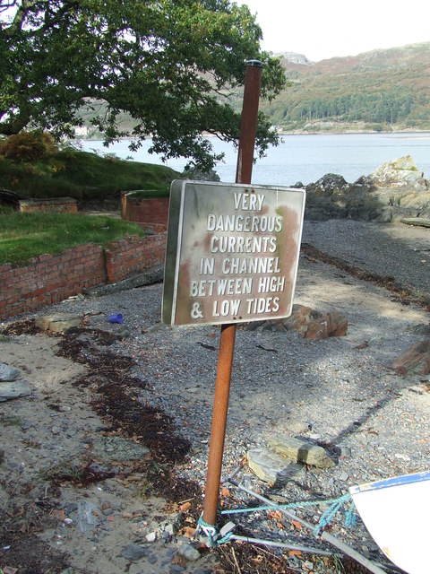
Arthog's location on the estuary also makes it a haven for water sports enthusiasts. The calm waters of the estuary are perfect for activities such as kayaking, sailing, and fishing. The nearby Barmouth Bridge, a railway viaduct spanning the estuary, is a popular spot for walkers and cyclists, offering stunning views of the surrounding area.
Overall, Arthog is a charming community that combines natural beauty with a close-knit community atmosphere. It offers a range of outdoor pursuits and recreational activities, making it an appealing destination for both residents and visitors alike.
If you have any feedback on the listing, please let us know in the comments section below.
Arthog Images
Images are sourced within 2km of 52.706531/-4.0143786 or Grid Reference SH6414. Thanks to Geograph Open Source API. All images are credited.

Arthog is located at Grid Ref: SH6414 (Lat: 52.706531, Lng: -4.0143786)
Unitary Authority: Gwynedd
Police Authority: North Wales
What 3 Words
///endlessly.horn.highbrow. Near Barmouth, Gwynedd
Nearby Locations
Related Wikis

Arthog
Arthog () is a village, post town and community in the Meirionnydd area in Gwynedd, north Wales including the villages of Fairbourne and Friog. It is located...
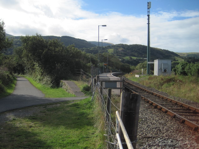
Arthog railway station
Arthog railway station in Gwynedd, Wales, was a station on the Dolgelly [sic] branch of the Aberystwith and Welsh Coast Railway (part of the Ruabon to...

Morfa Mawddach railway station
Morfa Mawddach railway station (formerly Barmouth Junction) is an unstaffed station located on the outskirts of the village of Arthog in Gwynedd, Wales...

Barmouth Bridge
Barmouth Bridge (Welsh: Pont Abermaw), or Barmouth Viaduct is a Grade II* listed single-track wooden railway viaduct across the estuary of the River Mawddach...

Friog
Friog (Welsh: Y Friog) is a small village in North Wales, near Fairbourne. Its lake and beach are a tourist attraction to over 1,000 visitors a year. Friog...

Fairbourne railway station
Fairbourne railway station serves the village of Fairbourne in Gwynedd, Wales. It is an unstaffed station on the Cambrian Coast Railway with passenger...

Fairbourne Spit
Fairbourne Spit (also known as Penrhyn Point) is a long spit of sand and shingle at the mouth of the River Mawddach where it reaches Cardigan Bay, on the...

Fairbourne Railway
The Fairbourne Railway (Welsh: Rheilffordd y Friog) is a 12+1⁄4 in (311 mm) gauge miniature railway running for 2 miles (3.2 km) from the village of Fairbourne...
Nearby Amenities
Located within 500m of 52.706531,-4.0143786Have you been to Arthog?
Leave your review of Arthog below (or comments, questions and feedback).