Abberton

Civil Parish in Worcestershire Wychavon

England

Abberton

Footpath to Bishampton church Footpath through a field of cereal to Bishampton church runs roughly parallel with the road, the church can be seen beyond the brow.
Footpath to Bishampton church Credit: Philip Halling

Abberton is a civil parish located in Worcestershire, England. Situated approximately 3 miles south of the city of Worcester, Abberton offers a picturesque rural setting with easy access to urban amenities.

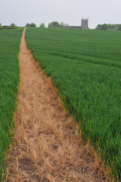
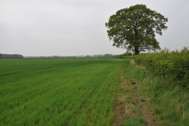
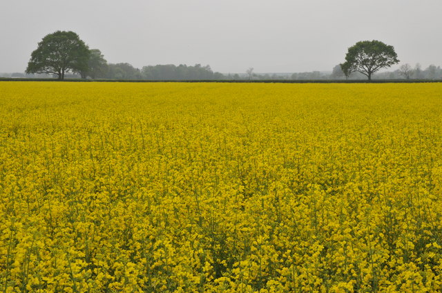
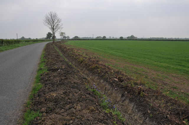
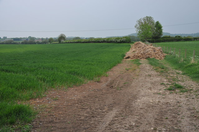
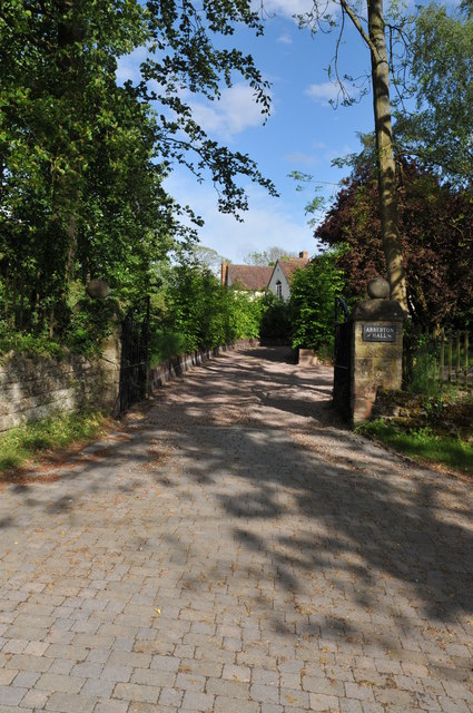
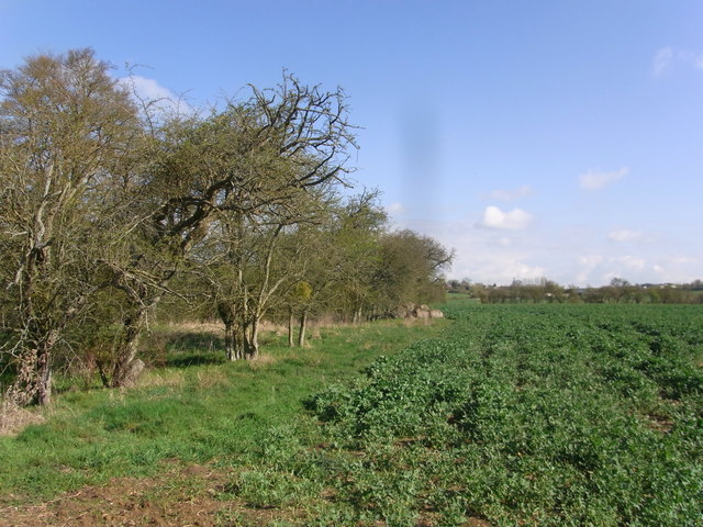
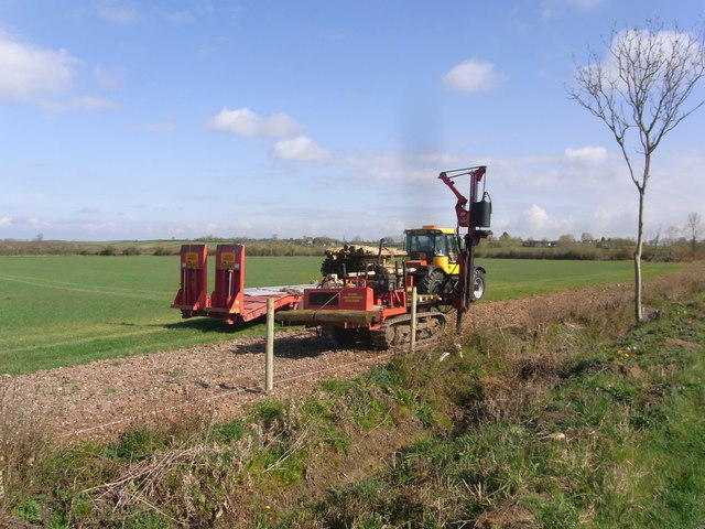
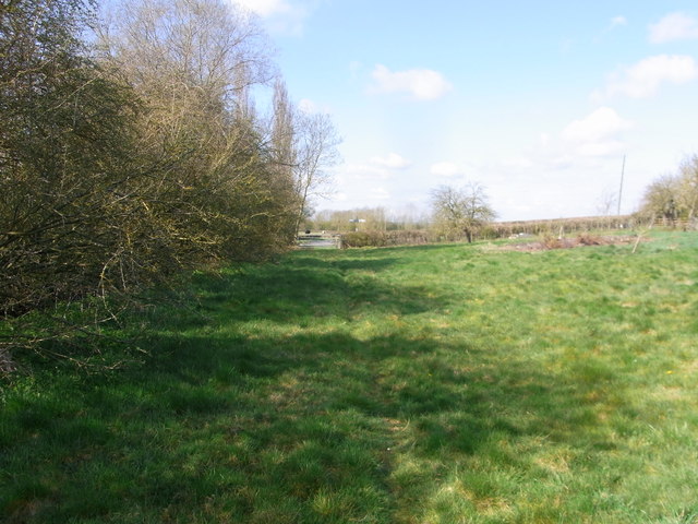
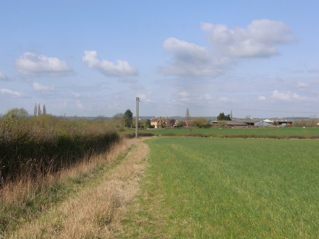
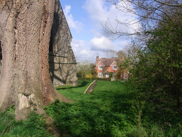
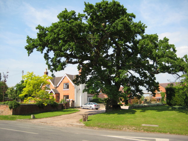
The parish is home to a small population, estimated to be around 500 residents. The area is characterized by its charming countryside landscapes, dotted with farms, fields, and quaint cottages. Abberton is surrounded by greenery, including woodlands and meadows, making it an ideal place for outdoor enthusiasts and nature lovers.

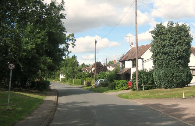
While primarily a residential area, Abberton does not have its own village center. However, it benefits from its close proximity to Worcester, where residents can find a range of amenities, including shops, restaurants, schools, and medical facilities. The city also offers excellent transportation links, with regular train and bus services connecting Abberton to other parts of Worcestershire and beyond.

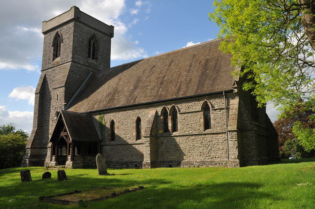
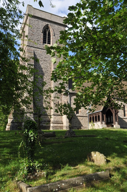
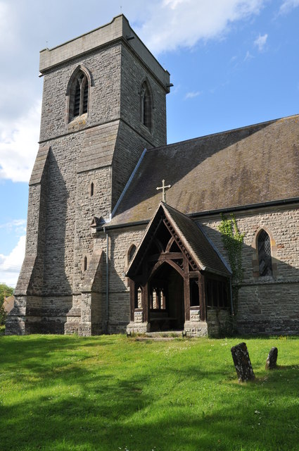
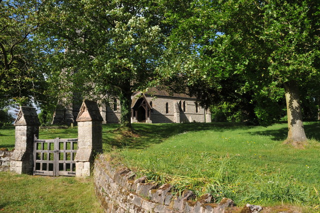
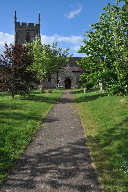
Historically, Abberton has been mentioned in the Domesday Book, a survey of England completed in 1086. The area has seen various developments over the centuries but still retains its rural charm. The parish church, dedicated to St. James, is a notable landmark, dating back to the 12th century.

Abberton is a peaceful and close-knit community, fostering a strong sense of community spirit. Residents can enjoy the tranquility of the countryside while benefiting from the conveniences of nearby Worcester.

If you have any feedback on the listing, please let us know in the comments section below.

Abberton Images

Images are sourced within 2km of 52.176984/-2.00924 or Grid Reference SO9953. Thanks to Geograph Open Source API. All images are credited.

Footpath to Bishampton church Footpath through a field of cereal to Bishampton church runs roughly parallel with the road, the church can be seen beyond the brow.
Footpath to Bishampton church
Footpath through a field of cereal to Bishampton church runs roughly parallel with the road, the church can be seen beyond the brow.
Footpath to North Piddle There are no roads through this square, just a couple of footpaths. There is one house on the western boundary, the rest is farmland, with a few lakes to the east of the square.
Footpath to North Piddle
There are no roads through this square, just a couple of footpaths. There is one house on the western boundary, the rest is farmland, with a few lakes to the east of the square.
Oilseed rape field Oilseed rape field near Naunton Beauchamp.
Oilseed rape field
Oilseed rape field near Naunton Beauchamp.
Grubbed hedgerow Grubbed hedgerow and recently dug ditch beside a road to the east of Naunton Beauchamp.
Grubbed hedgerow
Grubbed hedgerow and recently dug ditch beside a road to the east of Naunton Beauchamp.
Grubbed hedgerow Grubbed hedgerow and recently dug ditch beside a road to Naunton Beauchamp.
Grubbed hedgerow
Grubbed hedgerow and recently dug ditch beside a road to Naunton Beauchamp.
Arable land at Abberton A field of cereal beside the road to the north of Abberton.
Arable land at Abberton
A field of cereal beside the road to the north of Abberton.
Abberton church Abberton church is dedicated to St. Eadburga and was rebuilt in 1881–2 on the site of the old church
Abberton church
Abberton church is dedicated to St. Eadburga and was rebuilt in 1881–2 on the site of the old church
Abberton church Abberton church is dedicated to St. Eadburga and was rebuilt in 1881–2 on the site of the old church
Abberton church
Abberton church is dedicated to St. Eadburga and was rebuilt in 1881–2 on the site of the old church
Abberton church Abberton church is dedicated to St. Eadburga and was rebuilt in 1881–2 on the site of the old church
Abberton church
Abberton church is dedicated to St. Eadburga and was rebuilt in 1881–2 on the site of the old church
Entrance to Abberton church Entrance to Abberton church which is dedicated to St. Eadburga.  The church was rebuilt in 1881–2 on the site of the old church.
Entrance to Abberton church
Entrance to Abberton church which is dedicated to St. Eadburga. The church was rebuilt in 1881–2 on the site of the old church.
Entrance to Abberton Hall Abberton Hall is next to the parish church.
Entrance to Abberton Hall
Abberton Hall is next to the parish church.
Bishampton church
Bishampton church
The Dolphin at Bishampton The Dolphin at Bishampton is now open, when previously pictured on Geograph it was closed. See: <a href="https://www.geograph.org.uk/photo/1027189">SO9851 : A sad sight</a>
The Dolphin at Bishampton
The Dolphin at Bishampton is now open, when previously pictured on Geograph it was closed. See: SO9851 : A sad sight
Edge of the copse by the footpath Path follows the parish boundary, Flyford Flavell and Naunton Beauchamp, next to the field of oil-seed rape.
Edge of the copse by the footpath
Path follows the parish boundary, Flyford Flavell and Naunton Beauchamp, next to the field of oil-seed rape.
Fencing work by the road border near Baynhall Farm
Bridleway in the paddock below Baynhall Farm
Baynhall Farm from the bridleway
Bourton House from Abberton churchyard
Show me another place!

Abberton is located at Grid Ref: SO9953 (Lat: 52.176984, Lng: -2.00924)

Administrative County: Worcestershire

District: Wychavon

Police Authority: West Mercia

What 3 Words

///tidal.adjuster.monorail. Near Kington, Worcestershire

Nearby Locations

Abberton Abberton

Related Wikis

Abberton Hall

Abberton Hall is a small country house in the village of Abberton, Worcestershire, England, near Pershore. == History == It is an irregular two-story...

Abberton, Worcestershire

Abberton is a small village in Worcestershire, England. In 1991, the population was 44, this grew to 67 in 24 households in 2001.The principal house in...

Bishampton

Bishampton is a village and civil parish in the Wychavon district of Worcestershire, England with a population of 625. It contains a church, a village...

Radford, Worcestershire

Radford is a hamlet in the Wychavon district of Worcestershire, England. It is 1 mile SSW of Inkberrow. In 2013, Landscan population maps show there to...

Flyford Flavell

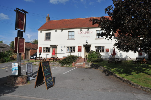
Flyford Flavell is a village in Worcestershire , it has a traditional pub in the centre of the village adjacent to the village green and a first school...

Kington, Worcestershire

Kington is a village in Worcestershire, England, situated near to Flyford Flavell. == History == The earliest known recording of Kington in the Domesday...

Naunton Beauchamp

Naunton Beauchamp (pronounced 'Bo-schomp') is a village and is also a civil parish within Wychavon district in Worcestershire, England. It is in the centre...

Goom's Hill

Goom's Hill is a location near Abbots Morton in Worcestershire, England.

Nearby Amenities

Located within 500m of 52.176984,-2.00924
Abberton
Created By: Potlatch 0.10b
Place: hamlet
Source: NPE
Wikidata: Q3137539
Lat/Long: 52.1793174/-2.0108584
Church
Naptan AtcoCode: 2000G032300
Naptan Bearing: N
Naptan BusStopType: CUS
Naptan CommonName: Church
Naptan Indicator: Opp
Naptan Landmark: Church
Naptan NaptanCode: wocdjdwp
Naptan Street: Abberton Village Road
Naptan Verified: no
Source: naptan_import
Lat/Long: 52.1792062/-2.0105592
Church
Naptan AtcoCode: 2000G323391
Naptan Bearing: S
Naptan BusStopType: CUS
Naptan CommonName: Church
Naptan Indicator: Adj
Naptan Landmark: Church
Naptan NaptanCode: wocdjwtp
Naptan Street: Abberton Village Road
Naptan Verified: no
Source: naptan_import
Lat/Long: 52.1791882/-2.0102814
Post Box
Fixme: Not convinced this box is still there.
Ref: WR10 220
Source: GPS
Lat/Long: 52.1788829/-2.0103717
Power: pole
Lat/Long: 52.1782833/-2.0027948
Power: pole
Lat/Long: 52.1804013/-2.007073
Power: pole
Lat/Long: 52.1791505/-2.0045276
Fixme: continue
Lat/Long: 52.1757849/-2.0049528
Power: pole
Lat/Long: 52.1810699/-2.0094686
Power: pole
Lat/Long: 52.1799865/-2.0062288
Power: pole
Lat/Long: 52.178752/-2.0037354
Power: pole
Lat/Long: 52.1777885/-2.0020215
Power: pole
Lat/Long: 52.1764454/-2.0021351
Power: pole
Lat/Long: 52.1809986/-2.008287
Power: pole
Lat/Long: 52.1795672/-2.0053556
Abberton
Power: pole
Transformer: distribution
Voltage Primary: 11000
Lat/Long: 52.1801926/-2.0096933
Power: pole
Lat/Long: 52.1804359/-2.0097831
The data included in this document is from www.openstreetmap.org. The data is made available under ODbL.

Have you been to Abberton?

Leave your review of Abberton below (or comments, questions and feedback).