Abberton
Settlement in Worcestershire Wychavon
England
Abberton
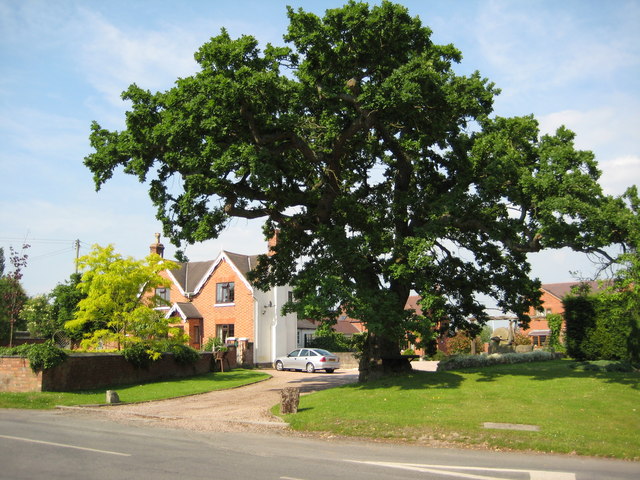
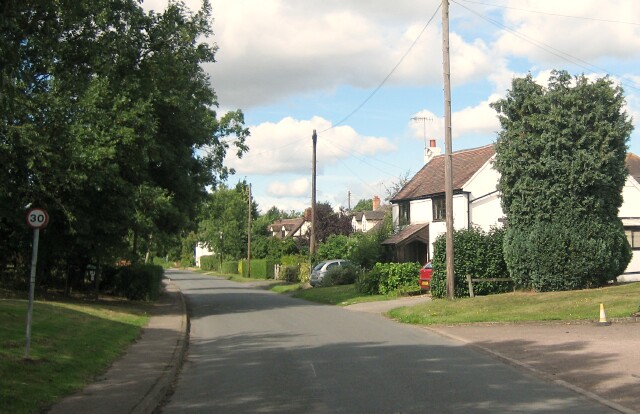
Abberton is a small village located in the county of Worcestershire, England. Situated about 5 miles east of the city of Worcester, Abberton is nestled in a picturesque rural setting, surrounded by rolling hills and farmland. The village is part of the Wychavon district and has a population of around 500 residents.
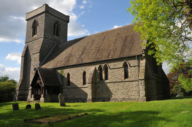
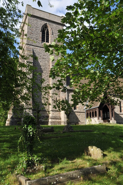
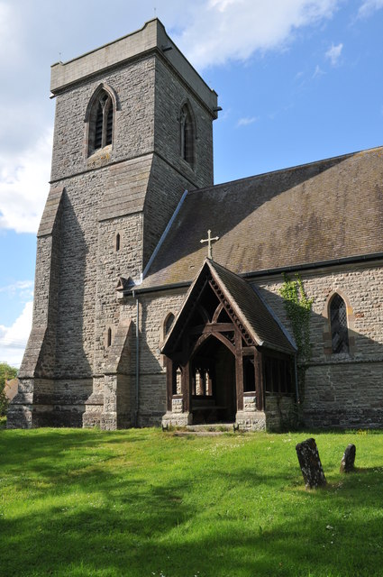
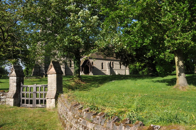
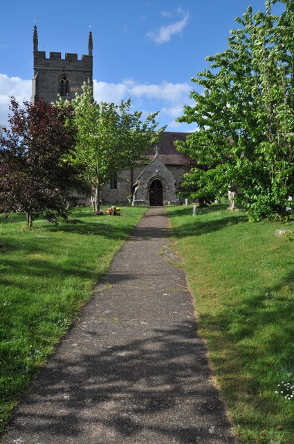
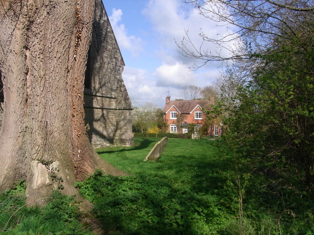
Historically, Abberton dates back to medieval times, and evidence of its past can still be seen in the village's architecture. The centerpiece of Abberton is the St. James' Church, a beautiful Grade II listed building that dates back to the 13th century. The church features stunning stained glass windows and a unique timber-framed bell tower.
Despite its small size, Abberton boasts a vibrant community spirit. The village has a local pub, The Crown Inn, which serves as a hub for socializing and community events. Additionally, Abberton has a village hall that hosts various activities and gatherings.
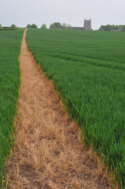
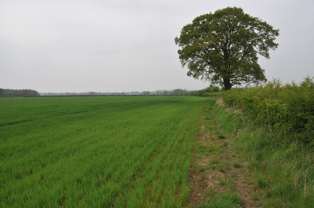
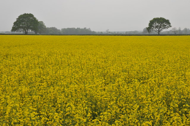
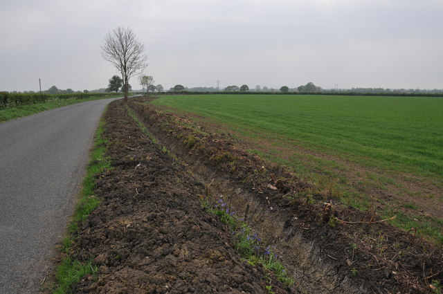
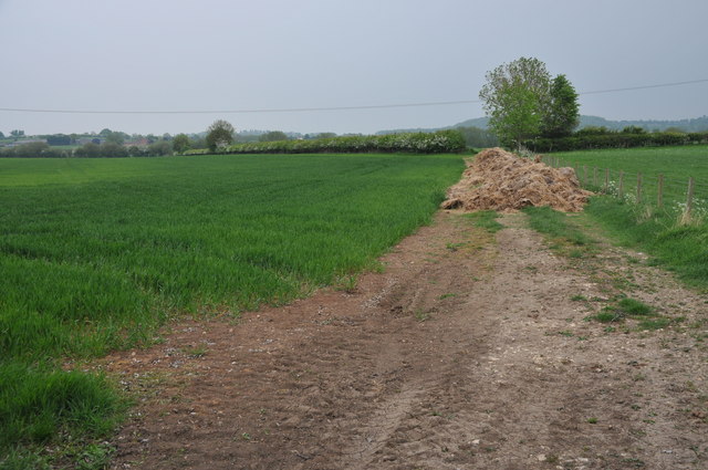
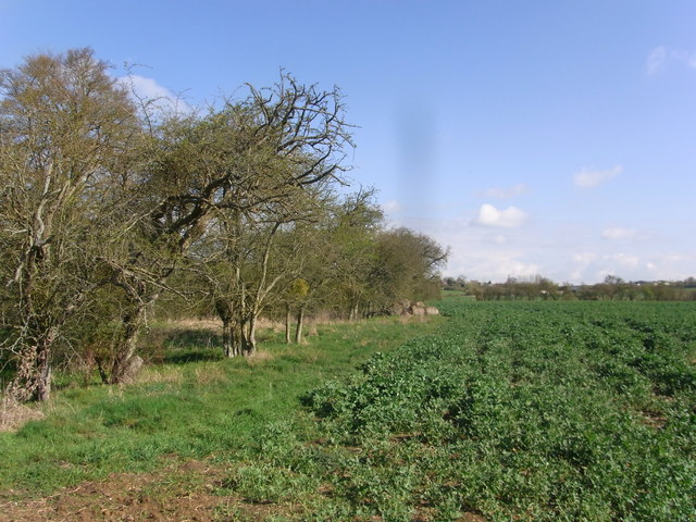
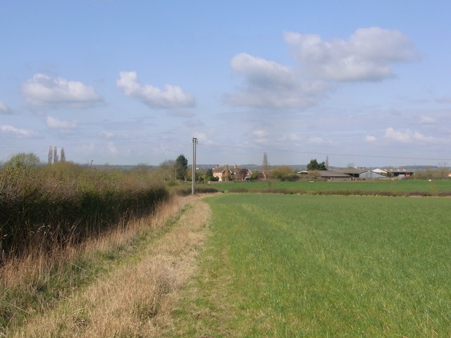
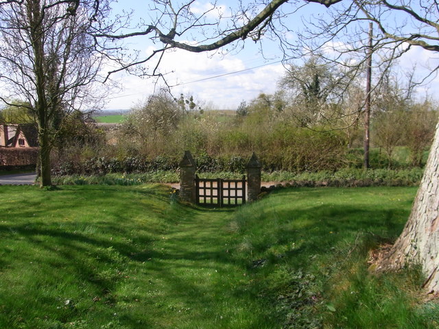
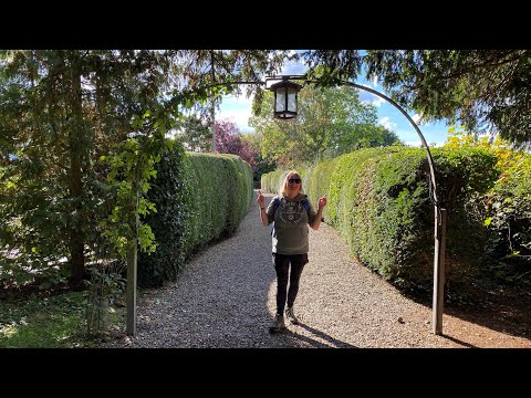
For outdoor enthusiasts, Abberton offers plenty of opportunities for exploration. The surrounding countryside provides scenic walking and cycling routes, allowing residents and visitors to enjoy the natural beauty of Worcestershire. The nearby Abberton Reservoir is also a popular spot for birdwatching, with a variety of waterfowl and wading birds calling the area their home.
Overall, Abberton is a charming village that embraces its historical roots while providing a close-knit community and access to the beautiful Worcestershire countryside.
If you have any feedback on the listing, please let us know in the comments section below.
Abberton Images
Images are sourced within 2km of 52.17951/-2.008187 or Grid Reference SO9953. Thanks to Geograph Open Source API. All images are credited.
Abberton is located at Grid Ref: SO9953 (Lat: 52.17951, Lng: -2.008187)
Administrative County: Worcestershire
District: Wychavon
Police Authority: West Mercia
What 3 Words
///doctor.widely.rosette. Near Kington, Worcestershire
Related Wikis

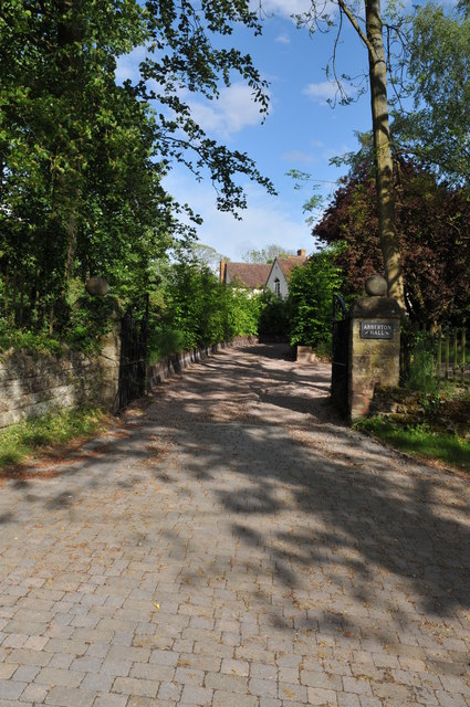
Abberton Hall
Abberton Hall is a small country house in the village of Abberton, Worcestershire, England, near Pershore. == History == It is an irregular two-story...

Abberton, Worcestershire
Abberton is a small village in Worcestershire, England. In 1991, the population was 44, this grew to 67 in 24 households in 2001.The principal house in...

Radford, Worcestershire
Radford is a hamlet in the Wychavon district of Worcestershire, England. It is 1 mile SSW of Inkberrow. In 2013, Landscan population maps show there to...
Flyford Flavell
Flyford Flavell is a village in Worcestershire , it has a traditional pub in the centre of the village adjacent to the village green and a first school...
Bishampton
Bishampton is a village and civil parish in the Wychavon district of Worcestershire, England with a population of 625. It contains a church, a village...

Kington, Worcestershire
Kington is a village in Worcestershire, England, situated near to Flyford Flavell. == History == The earliest known recording of Kington in the Domesday...
Goom's Hill
Goom's Hill is a location near Abbots Morton in Worcestershire, England.
Naunton Beauchamp
Naunton Beauchamp (pronounced 'Bo-schomp') is a village and is also a civil parish within Wychavon district in Worcestershire, England. It is in the centre...
Related Videos
The Millennium Way - Inkberrow to Egdon
The penultimate stage of the Millennium Way for us and a fun 10 mile hike it was too. Lovely views for most of the way.

The Millennium Way - Coughton to Inkberrow
This stage of the Millennium Way saw us walk 7.6 miles between Coughton and Inkberrow. It was pretty walking with lovely ...
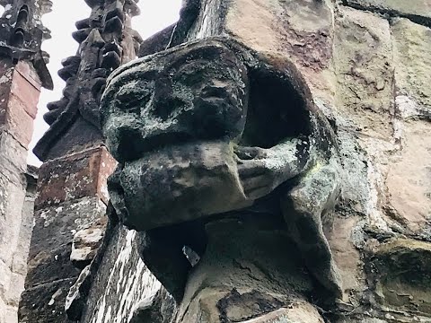
Inkberrow, St Peter’s Church Tour, Worcestershire
Fantastic Grotesques & Gargoyles outside this church with Knight Templar markings on the font. The tower contains a set of six ...

Ep. 7. Rous Lench
Rous Lench is a small village in rural Worcestershire with, at least, three place of historical interest. I rode there, on a fabulous, ...
Nearby Amenities
Located within 500m of 52.17951,-2.008187Have you been to Abberton?
Leave your review of Abberton below (or comments, questions and feedback).