Abberton
Settlement in Essex Colchester
England
Abberton
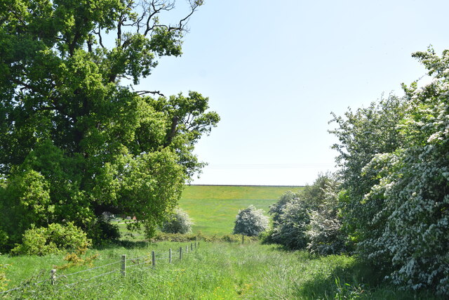
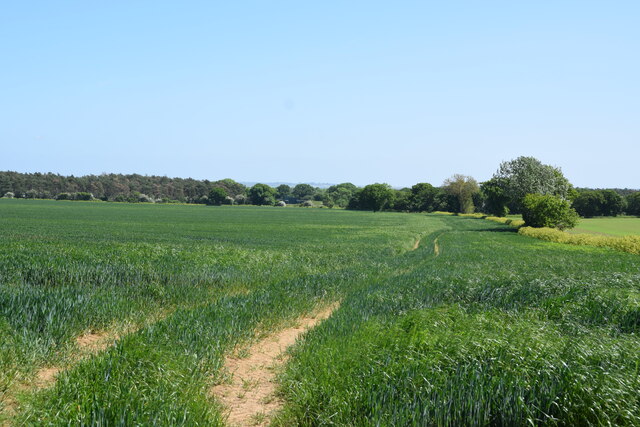
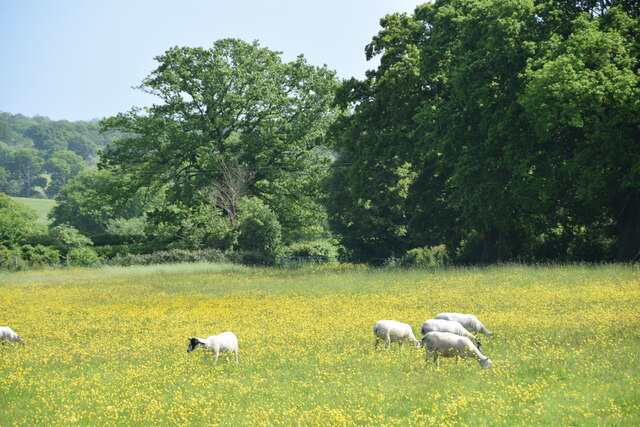
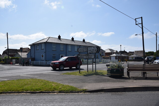
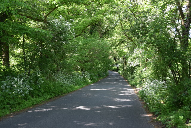
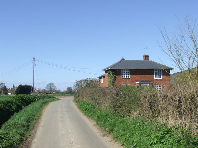
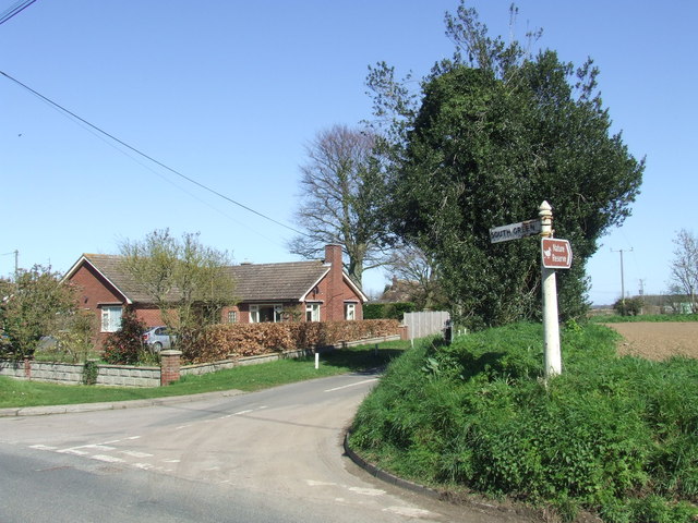
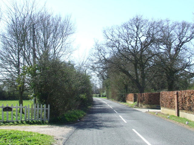
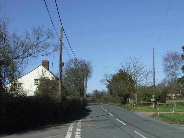
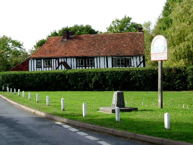
Abberton is a small village located in the county of Essex in the southeastern part of England. Situated about 6 miles south of Colchester, it is nestled in a picturesque rural setting surrounded by rolling hills and farmland. The village is known for its quaint charm, with traditional thatched cottages lining the streets and a tranquil atmosphere that attracts both residents and visitors alike.
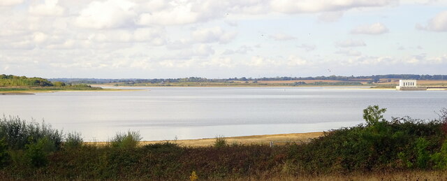
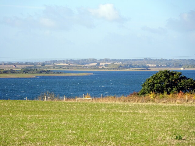
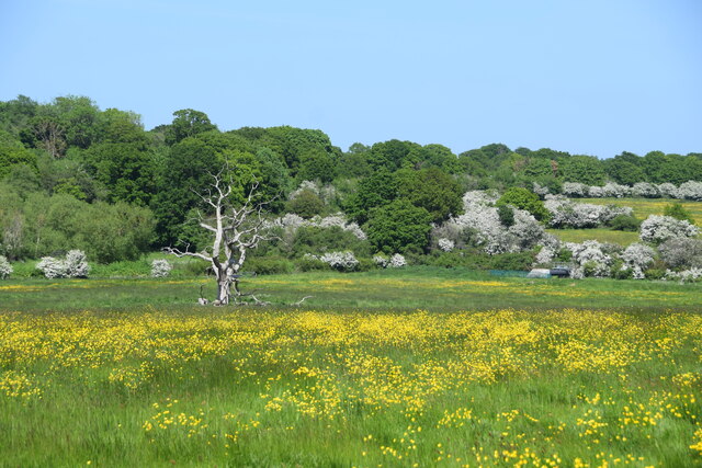
One of the notable landmarks in Abberton is the Abberton Reservoir, a large freshwater lake that covers an area of approximately 400 hectares. The reservoir is a popular spot for birdwatching and wildlife enthusiasts, as it serves as a habitat for a wide variety of bird species, including rare and endangered ones. The Abberton Reservoir Visitor Centre offers educational and recreational activities, such as guided walks and exhibitions, allowing visitors to learn more about the local flora and fauna.
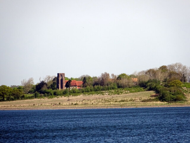
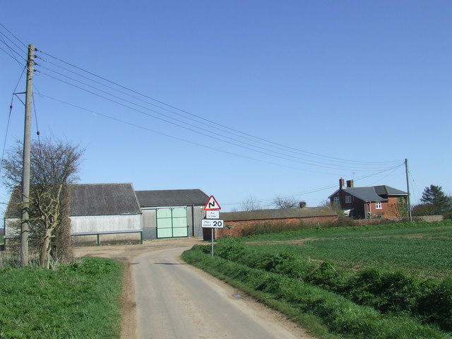
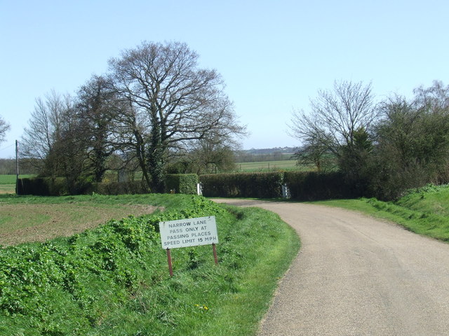
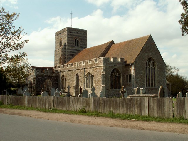
Abberton also boasts a strong community spirit, with several local amenities and activities available to residents. The village has a primary school, a village hall, and a church that dates back to the 12th century. Additionally, there are numerous walking and cycling paths that traverse the beautiful countryside, providing opportunities for outdoor recreation.
In terms of transportation, Abberton is well-connected to nearby towns and cities. The A12 road runs close to the village, providing easy access to Colchester and other major towns in the region. The closest railway station is located in Colchester, offering regular services to London and other destinations.
Overall, Abberton offers a charming and idyllic countryside experience, making it an attractive place to live or visit for those seeking a peaceful escape from the hustle and bustle of city life.
If you have any feedback on the listing, please let us know in the comments section below.
Abberton Images
Images are sourced within 2km of 51.834347/0.910699 or Grid Reference TM0019. Thanks to Geograph Open Source API. All images are credited.
Abberton is located at Grid Ref: TM0019 (Lat: 51.834347, Lng: 0.910699)
Administrative County: Essex
District: Colchester
Police Authority: Essex
What 3 Words
///elbow.drill.gloves. Near Rowhedge, Essex
Nearby Locations
Related Wikis
Abberton, Essex
Abberton is a village in the City of Colchester district of Essex, England. It is located approximately 0.62 mi (1.00 km) east of Abberton Reservoir and...
Langenhoe
Langenhoe is a village in the City of Colchester district of Essex, England, located south of Colchester. According to the 2001 census it had a population...

1884 Colchester earthquake
The Colchester earthquake, also known as the Great English earthquake, occurred on the morning of 22 April 1884 at 09:18. It caused considerable damage...

Roman River SSSI
Roman River is a 275.6-hectare (681-acre) biological Site of Special Scientific Interest (SSSI) south of Colchester in Essex. Two areas, Friday Wood and...
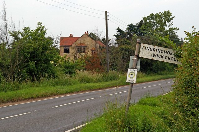
Fingringhoe
Fingringhoe is a village and civil parish in the City of Colchester district of Essex, England. The centre of the village is classified as a conservation...

Berechurch
Berechurch is an suburb of Colchester in Essex, England. Berechurch was formerly a separate civil parish. In 1891 the parish had a population of 167. On...

Peldon
Peldon is a village and civil parish in the Colchester borough of Essex, England. With Salcott, Virley, Great Wigborough and Little Wigborough, it forms...
St Michael's Church, Berechurch
St Michael's Church is a redundant Anglican church in the village of Berechurch, Essex, England. It is recorded in the National Heritage List for England...
Related Videos
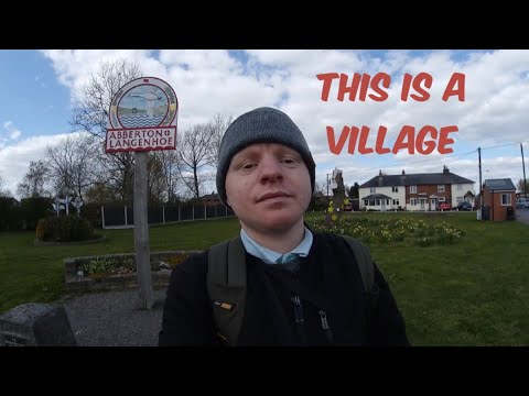
Abberton, Essex village vlog 2021
Abberton, Essex village vlog 2021 Date filmed: 07/04/21 keep watching for videos everyday till Friday 7 May. Be sure to check out ...


St Andrews Church, Abberton, Essex, October 2023
St Andrews Church, Abberton, Essex, October 2023.
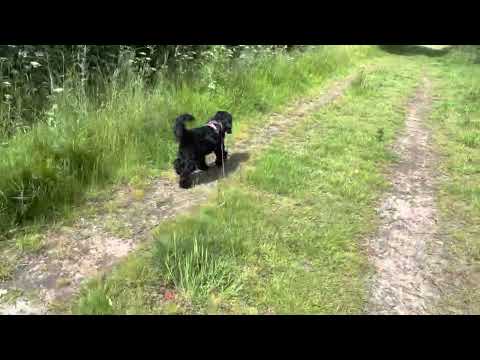
Cockapoo walk in Fingringhoe
Our Friday morning dog walk.
Nearby Amenities
Located within 500m of 51.834347,0.910699Have you been to Abberton?
Leave your review of Abberton below (or comments, questions and feedback).