Abberley
Settlement in Worcestershire Malvern Hills
England
Abberley
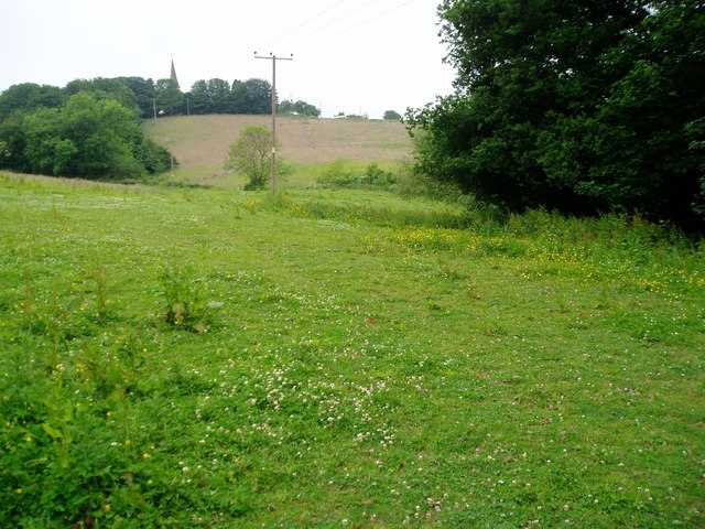
Abberley is a small village located in the county of Worcestershire, England. Situated on the eastern slopes of the Abberley Hills, it offers picturesque views of the surrounding countryside. The village is part of the Malvern Hills District and is approximately 10 miles northwest of the city of Worcester.
Abberley is known for its rich history, with evidence of human habitation dating back to the Iron Age. The village grew in significance during the medieval period when it became a center for the wool trade, and many of its historic buildings reflect this prosperous past. The local parish church, St. Michael's, is a notable architectural gem, featuring stunning stained glass windows and a distinctive spire.
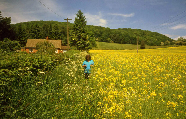
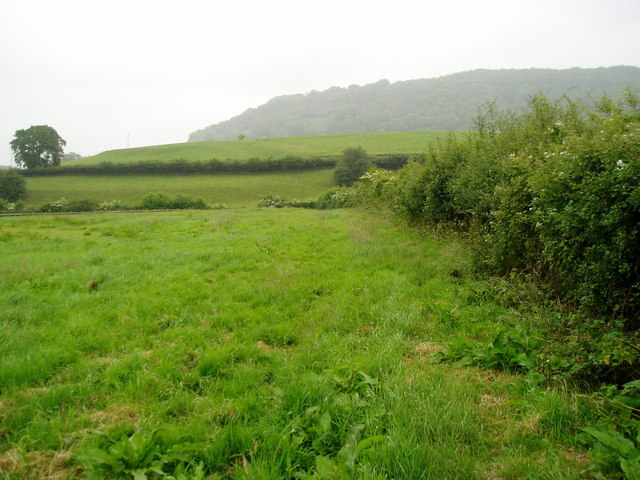
Nature lovers are drawn to Abberley for its idyllic setting and access to the nearby Abberley Hills. This designated Area of Outstanding Natural Beauty offers numerous walking and hiking trails, allowing visitors to explore the rolling hills, woodlands, and tranquil lakes. The countryside surrounding the village is also home to a diverse range of flora and fauna, making it a haven for wildlife enthusiasts.
Despite its small size, Abberley has a vibrant community spirit. The village hosts various events throughout the year, including an annual summer fete and a popular Christmas market. There are also amenities available, such as a village hall, a primary school, and a local pub, providing a focal point for residents to gather and socialize.
In conclusion, Abberley is a charming village that offers a blend of natural beauty, history, and a strong community spirit. Its idyllic setting and rich heritage make it an appealing destination for both locals and visitors seeking a tranquil retreat in the heart of Worcestershire.
If you have any feedback on the listing, please let us know in the comments section below.
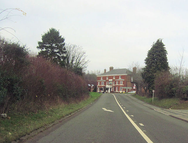
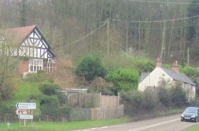
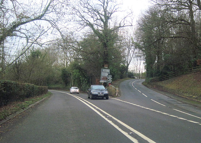
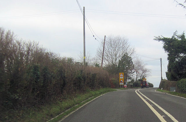
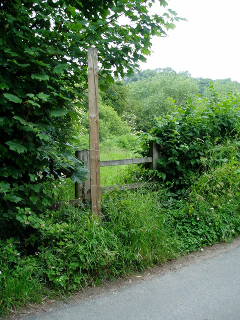
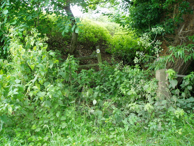
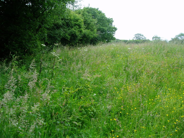
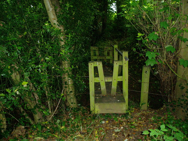
Abberley Images
Images are sourced within 2km of 52.305185/-2.375764 or Grid Reference SO7467. Thanks to Geograph Open Source API. All images are credited.
Abberley is located at Grid Ref: SO7467 (Lat: 52.305185, Lng: -2.375764)
Administrative County: Worcestershire
District: Malvern Hills
Police Authority: West Mercia
What 3 Words
///tame.insulated.ourselves. Near Stourport-on-Severn, Worcestershire
Nearby Locations
Related Wikis

Abberley
Abberley is a village and civil parish in north west Worcestershire, England. It is situated on the northern slopes of Abberley Hill, which is 283 metres...
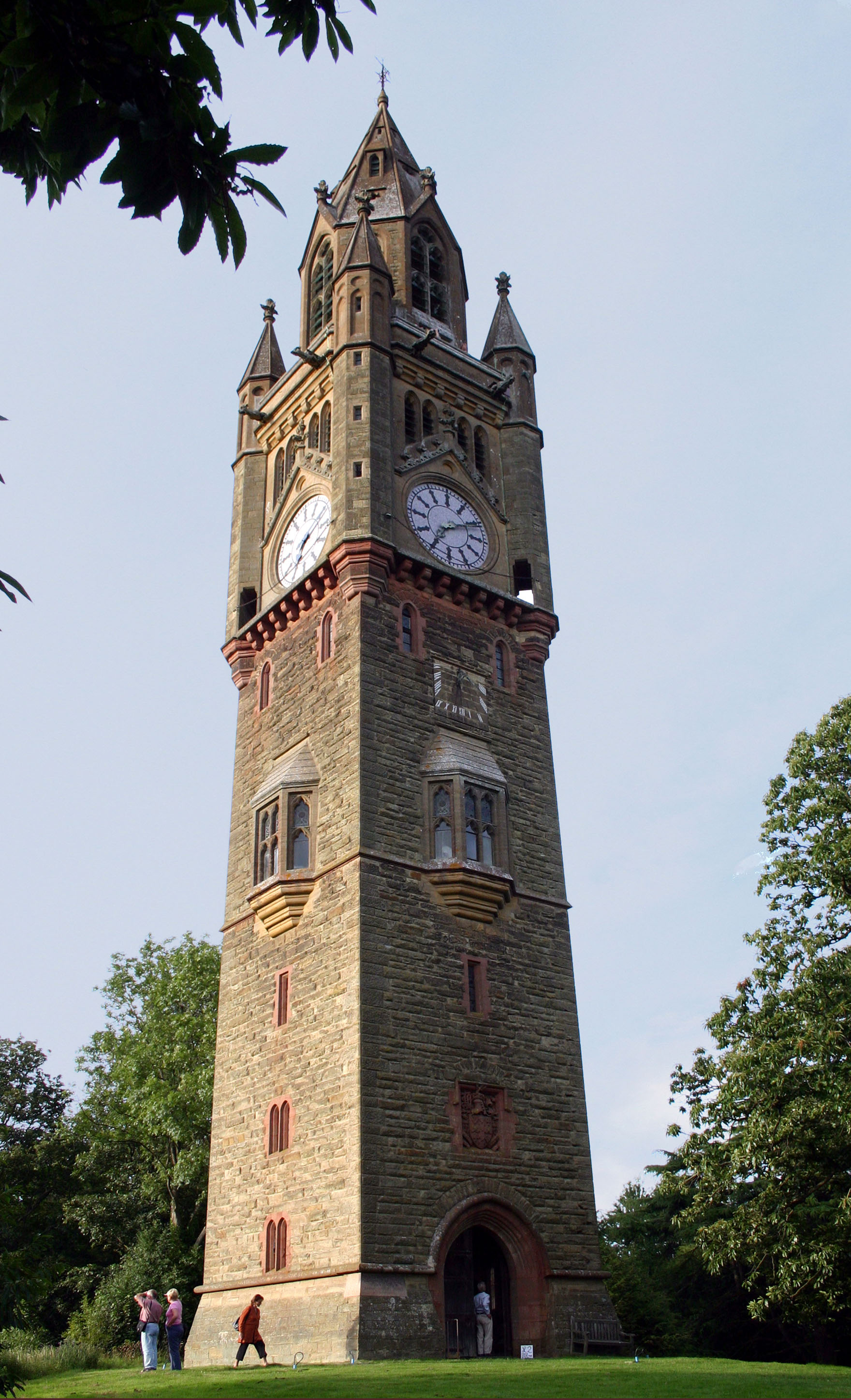
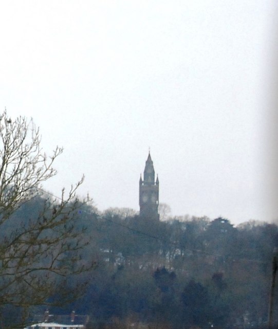
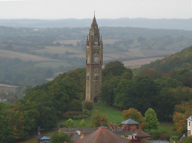
Abberley Clock Tower
Abberley Clock Tower is a prominent, distinctive clock tower in Abberley, Worcestershire, England. Built by James Piers St Aubyn around 1883 for Abberley...

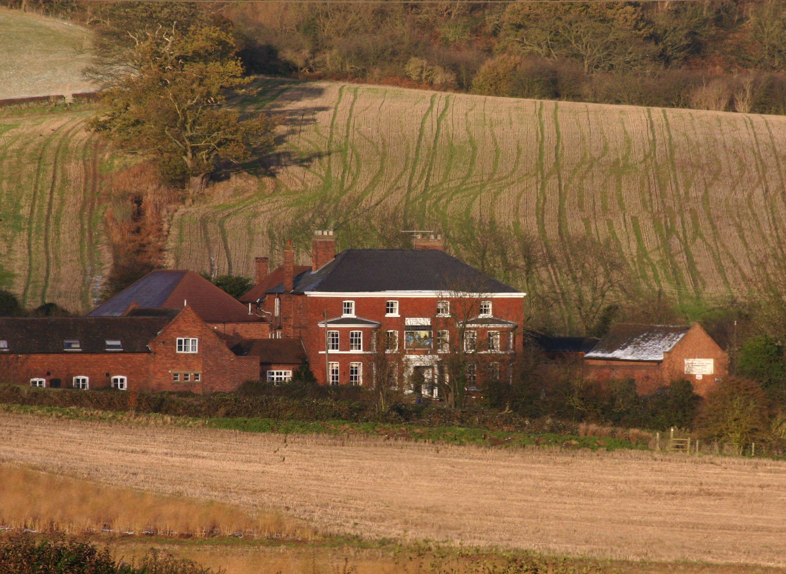
Abberley Hall School
Abberley Hall School was a coeducational preparatory day and boarding school with about 160 pupils. It was located between Worcester and Tenbury, near...
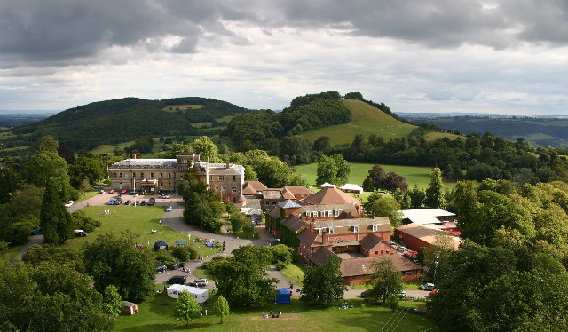
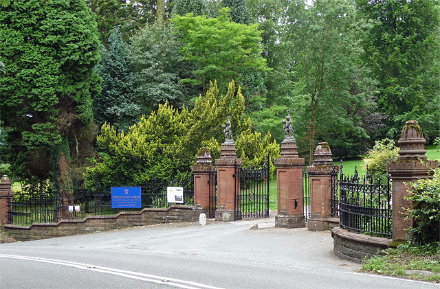
Abberley Hall
Abberley Hall is a country house in the north-west of the county of Worcestershire, England. The present Italianate house is the work of Samuel Daukes...
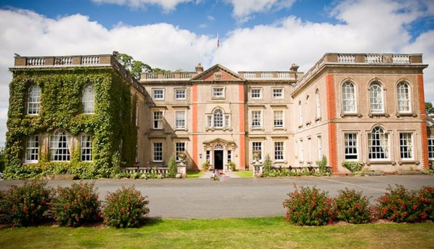
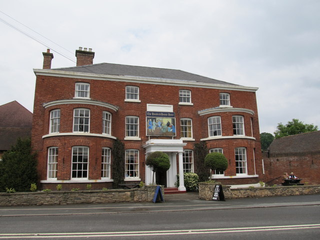
The Elms, Abberley
The Elms Hotel in Abberley, Worcestershire is a building of historical significance and is Grade II listed on the English Heritage Register. It was built...

Pensax
Pensax is a village and civil parish of northwest Worcestershire in England, incorporating the hamlet of Menithwood to the west of Pensax Common. According...

Stockton on Teme
Stockton on Teme is a village and civil parish in the Malvern Hills District in the county of Worcestershire, England. It is close to the River Teme and...
Great Witley
Great Witley is a village and civil parish in the Malvern Hills District in the northwest of the county of Worcestershire, England. It is situated around...
Related Videos
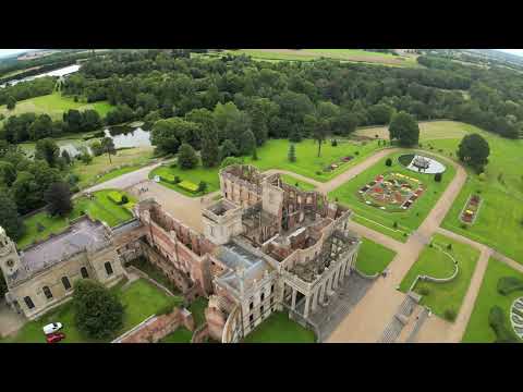
Witley Court and Gardens
For more information visit https://en.wikipedia.org/wiki/Witley_Court Music: "Vantan" by Silver Maple.
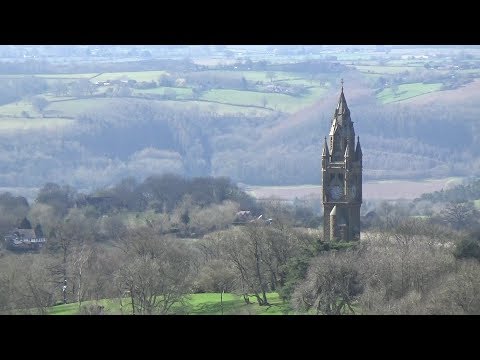
129: Abberley Hill and the Clock Tower (Worcestershire 2020)
WORCESTERSHIRE WALK FEATURING ABBERLEY HILL AND THE CLOCK TOWER "Abberley Hill and the Clock Tower” ...
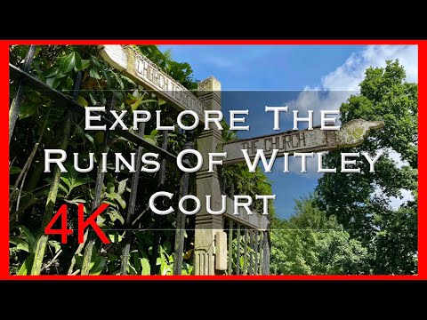
Explore The Ruins Of Whitley Court
Whitley Court- Explore the dramatic ruins. A fire ripped through the court in 1937, destroying one of England's greatest country ...
8 August 2018
Blue lagoon.
Nearby Amenities
Located within 500m of 52.305185,-2.375764Have you been to Abberley?
Leave your review of Abberley below (or comments, questions and feedback).