Abbas Combe
Settlement in Somerset South Somerset
England
Abbas Combe
Abbas Combe is a small village located in the county of Somerset, England. Situated in the beautiful Mendip Hills, it is surrounded by picturesque countryside and offers a tranquil setting for its residents and visitors alike.
The village is home to a tight-knit community, with a population of around 200 people. It has a rich history, dating back to medieval times when it was known as Abbots Combe, named after the nearby abbey. The village retains much of its historic charm, with a number of well-preserved buildings, including traditional thatched cottages and a historic church.
One of the standout features of Abbas Combe is its stunning natural surroundings. The Mendip Hills, with their rolling hills, lush greenery, and diverse wildlife, provide ample opportunities for outdoor activities such as hiking, cycling, and horseback riding. The village is also close to popular attractions like Wookey Hole Caves and Cheddar Gorge, making it an ideal base for exploring the wider Somerset area.
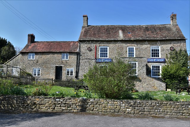
Despite its small size, Abbas Combe has a strong sense of community spirit. It boasts a village hall that hosts various events and gatherings throughout the year, bringing residents together. Additionally, there is a local pub that serves as a meeting place for both locals and visitors, offering a friendly atmosphere and traditional pub fare.
Overall, Abbas Combe is a charming village that offers a peaceful and idyllic lifestyle in the midst of the stunning Somerset countryside. Its rich history, natural beauty, and close-knit community make it a hidden gem worth exploring.
If you have any feedback on the listing, please let us know in the comments section below.
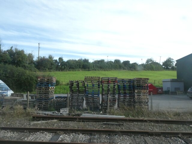
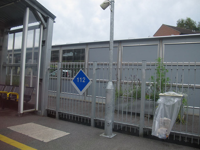
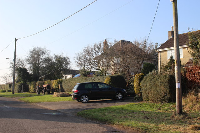
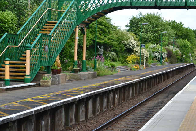
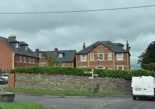
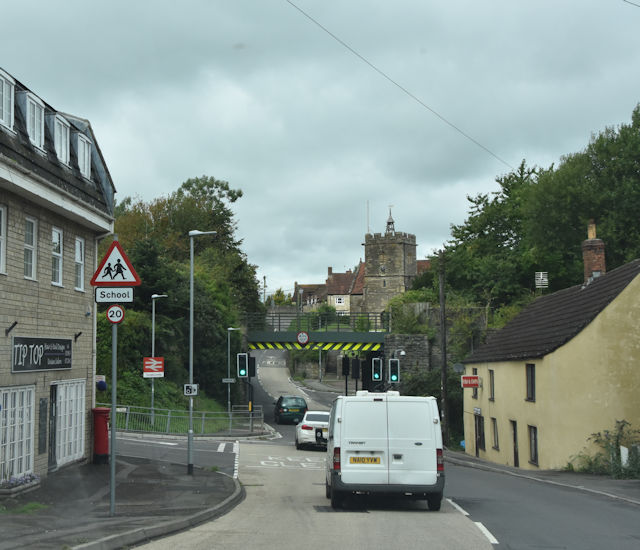
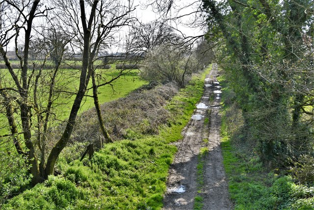
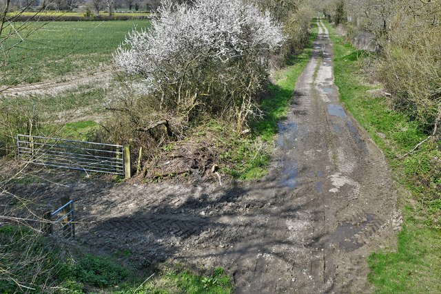
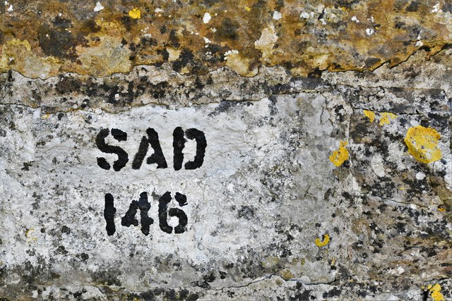
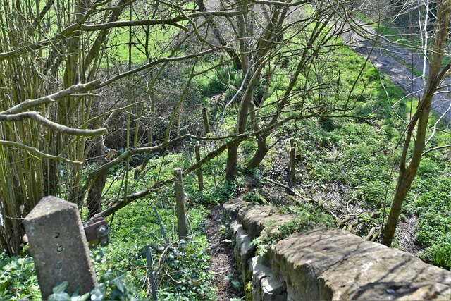
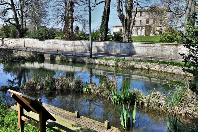
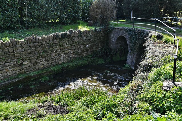
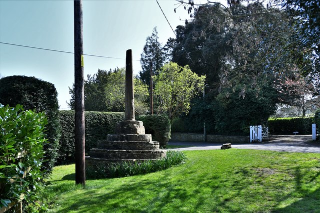
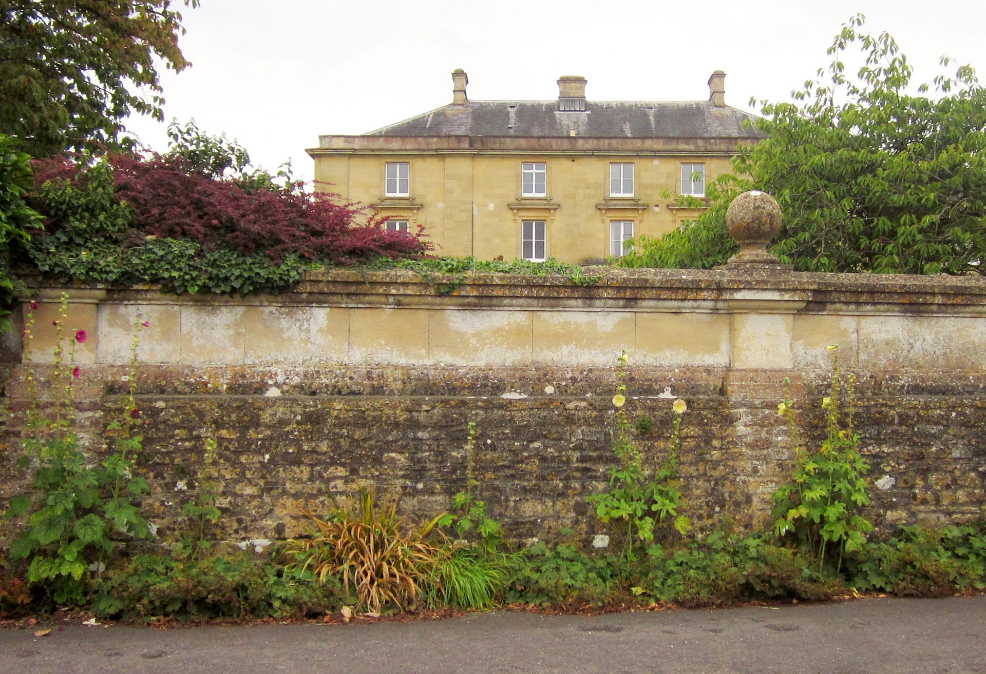
Abbas Combe Images
Images are sourced within 2km of 51.002771/-2.418277 or Grid Reference ST7022. Thanks to Geograph Open Source API. All images are credited.
Abbas Combe is located at Grid Ref: ST7022 (Lat: 51.002771, Lng: -2.418277)
Administrative County: Somerset
District: South Somerset
Police Authority: Avon and Somerset
What 3 Words
///electrode.cherished.meatballs. Near Templecombe, Somerset
Nearby Locations
Related Wikis

Abbas Combe
Abbas Combe is a village in the civil parish of Abbas and Templecombe, in the county of Somerset, England. It is situated on the A357 road beside Templecombe...

Church of St Mary, Abbas and Templecombe
The Anglican Church of St Mary at Templecombe, within the English county of Somerset, was built in the 12th century and is a Grade II* listed building...

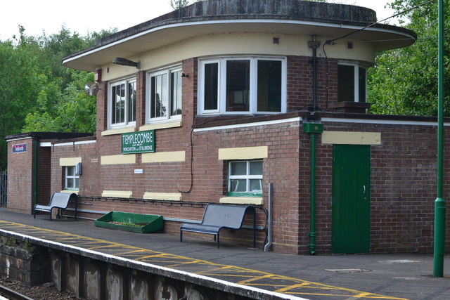
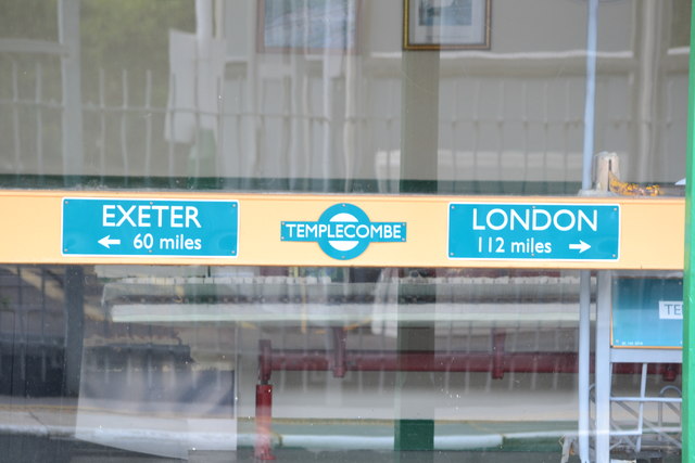
Templecombe railway station
Templecombe railway station serves the town of Templecombe in Somerset, England. It is situated on the West of England Main Line, 112 miles 2 chains (180...

Templecombe Preceptory
Templecombe Preceptory (or Combe Templariorum) was established in 1185 in Templecombe, Somerset, England. One of the manors within the parish was held...

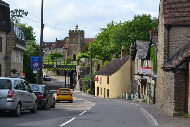
Templecombe
Templecombe is a village in Somerset, England, situated on the A357 road five miles south of Wincanton, 12 miles (19 km) east of Yeovil, and 30 miles...
Horsington House
Horsington House is a country house in Horsington, near Templecombe in Somerset. It is a stone-built house with pillared porch, built in 1839. It is a...

Horsington, Somerset
Horsington is a village and Civil parish in Somerset, England, situated 4 miles (6.4 km) south of Wincanton and 1 mile (1.6 km) north of Templecombe in...
Church of St John the Baptist, Horsington
The Anglican Church of St John the Baptist in Horsington, Somerset, England was built in the 15th century and rebuilt between 1885 and 1887. It is a Grade...
Related Videos

Bank Holiday Steam on the Gartell Light Railway - 30/08/15
Located on a former section of the Somerset and Dorset Joint Railway, on the outskirts of Templecombe, is the privately owned ...

South Western Railway Class 159104 + 159022 departs Templecombe. (4K)
A South Western Railway service stating here heading up to London Waterloo.

Gartell Light Railway, Templecombe, 30 October 2022
The 2ft gauge Gartell Light Railway, running on the tracked of the Somerset and Dorset Light Railway, on 30 October 2022.

Class 43 New Measurement Train Climbs Up The 1 In 80 Out Of The Blackmore Vale On Thurs 7th May 2020
The Network Rail New Measurement Train, is an HST based track infrastructure recording set. It is the prime test train used by NR ...
Nearby Amenities
Located within 500m of 51.002771,-2.418277Have you been to Abbas Combe?
Leave your review of Abbas Combe below (or comments, questions and feedback).