Templecombe
Settlement in Somerset South Somerset
England
Templecombe
Templecombe is a small village located in the county of Somerset, in the southwest of England. Nestled in the picturesque countryside, the village is situated approximately 5 miles south of the town of Wincanton. It falls within the local government district of South Somerset and has a population of around 2,000 residents.
The village has a rich history, with its origins dating back to the Saxon period. Its name is derived from the Old English words "Temple" and "Cumb," meaning "valley with a temple." This hints at the presence of a medieval Knights Templar preceptory, which once stood in the area.
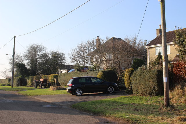
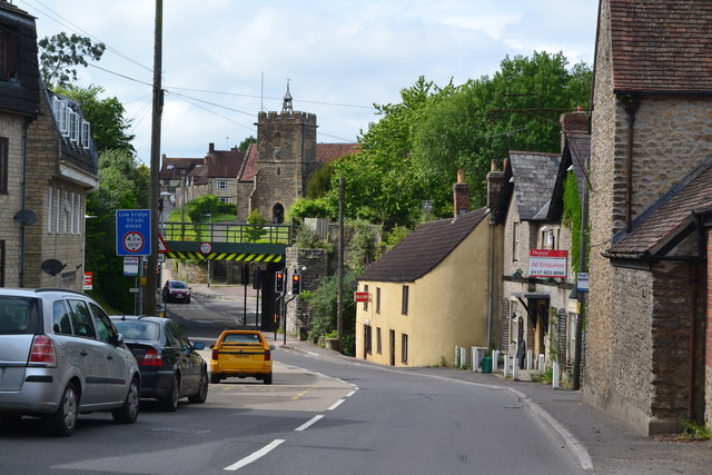
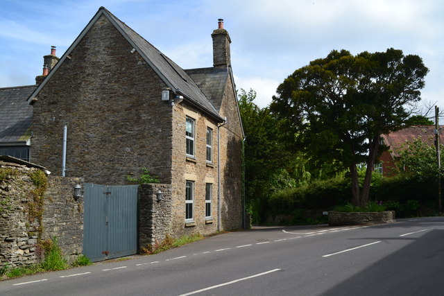
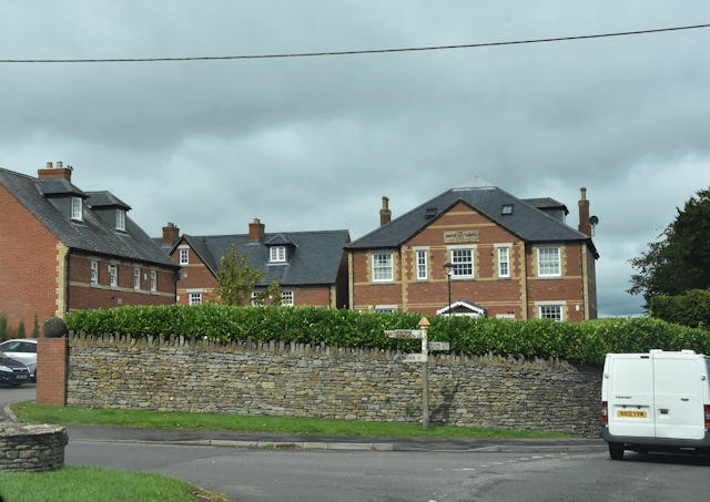
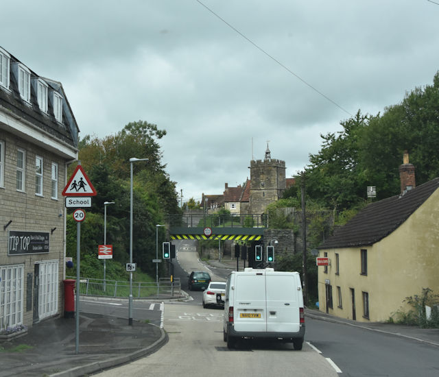
Today, Templecombe is a quiet and peaceful village, known for its charming and traditional English character. The village center features a range of amenities, including local shops, a post office, a primary school, and a village hall. There are also several pubs and restaurants that provide a cozy atmosphere for locals and visitors alike.
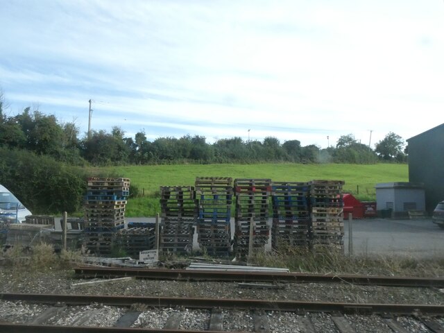
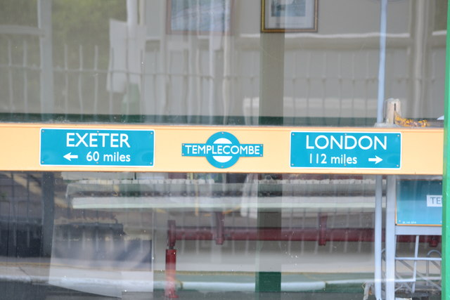
Templecombe benefits from its convenient location, with good transport links. The village is served by Templecombe railway station, which offers regular services to London, Exeter, and other major cities. Additionally, the A357 road runs through the village, providing easy access to nearby towns and attractions.
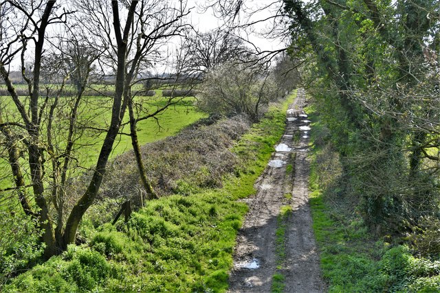
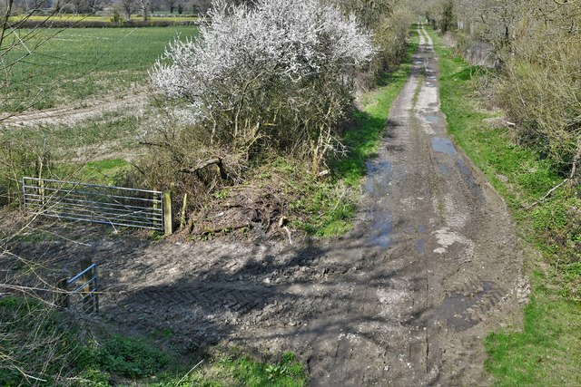
Surrounded by beautiful countryside, Templecombe offers plenty of opportunities for outdoor activities, such as hiking, cycling, and horse riding. The village is also within close proximity to attractions like the stunning Blackmore Vale, the historic Stourhead House and Gardens, and the ancient ruins of Glastonbury Abbey.
Overall, Templecombe is a delightful village that offers a tranquil escape from the hustle and bustle of city life, with its rich history, charming atmosphere, and convenient location.
If you have any feedback on the listing, please let us know in the comments section below.
Templecombe Images
Images are sourced within 2km of 51.001725/-2.4156602 or Grid Reference ST7022. Thanks to Geograph Open Source API. All images are credited.
Templecombe is located at Grid Ref: ST7022 (Lat: 51.001725, Lng: -2.4156602)
Administrative County: Somerset
District: South Somerset
Police Authority: Avon and Somerset
What 3 Words
///retract.presides.swells. Near Templecombe, Somerset
Nearby Locations
Related Wikis

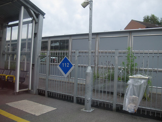
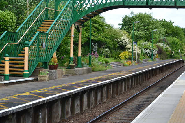
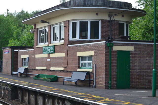
Templecombe railway station
Templecombe railway station serves the town of Templecombe in Somerset, England. It is situated on the West of England Main Line, 112 miles 2 chains (180...

Church of St Mary, Abbas and Templecombe
The Anglican Church of St Mary at Templecombe, within the English county of Somerset, was built in the 12th century and is a Grade II* listed building...

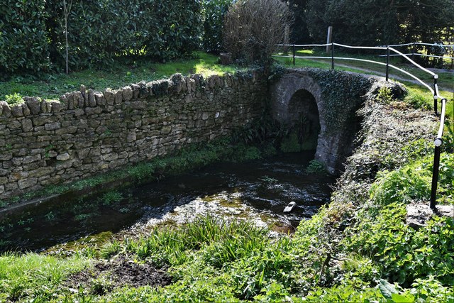
Templecombe Preceptory
Templecombe Preceptory (or Combe Templariorum) was established in 1185 in Templecombe, Somerset, England. One of the manors within the parish was held...

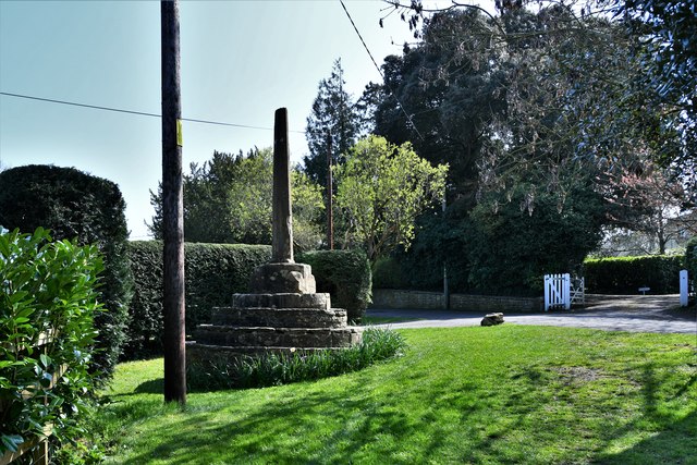
Templecombe
Templecombe is a village in Somerset, England, situated on the A357 road five miles south of Wincanton, 12 miles (19 km) east of Yeovil, and 30 miles...

Abbas Combe
Abbas Combe is a village in the civil parish of Abbas and Templecombe, in the county of Somerset, England. It is situated on the A357 road beside Templecombe...
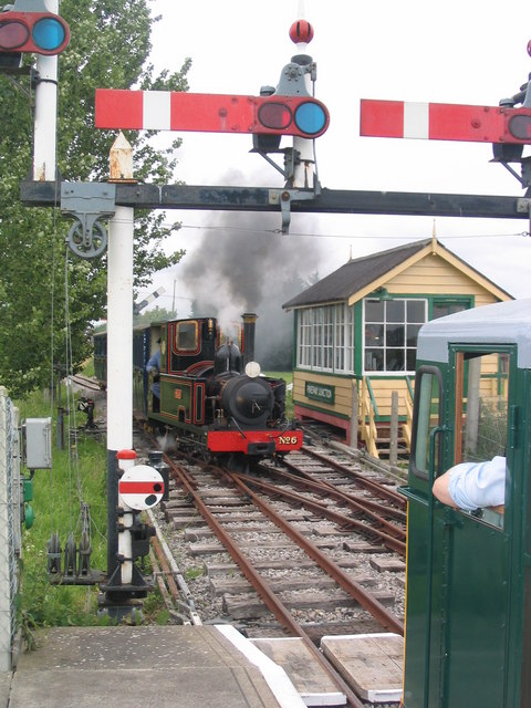
Gartell Light Railway
The Gartell Light Railway is a privately run narrow gauge railway located at Yenston in the Blackmore Vale, south of Templecombe, in Somerset, England...
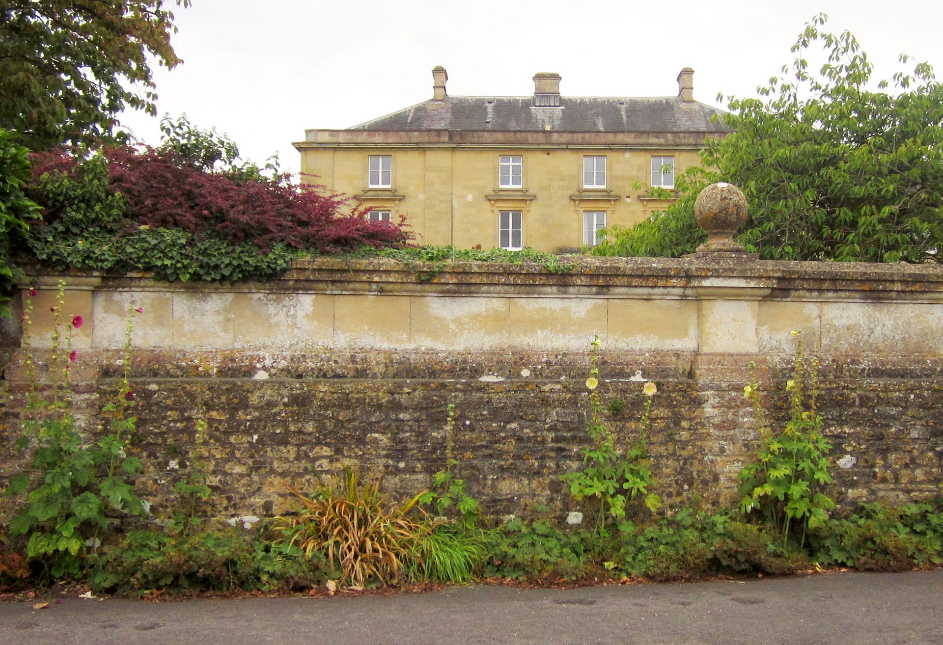
Horsington House
Horsington House is a country house in Horsington, near Templecombe in Somerset. It is a stone-built house with pillared porch, built in 1839. It is a...

Horsington, Somerset
Horsington is a village and Civil parish in Somerset, England, situated 4 miles (6.4 km) south of Wincanton and 1 mile (1.6 km) north of Templecombe in...
Related Videos

Bank Holiday Steam on the Gartell Light Railway - 30/08/15
Located on a former section of the Somerset and Dorset Joint Railway, on the outskirts of Templecombe, is the privately owned ...

Gartell Light Railway, Templecombe, 30 October 2022
The 2ft gauge Gartell Light Railway, running on the tracked of the Somerset and Dorset Light Railway, on 30 October 2022.

1999 Gartell Light Railway
Filmed at the Gartell LIght Railway on Monday 3rd May 1999. This narrow gauge line runs for part of its length along the trackbed ...
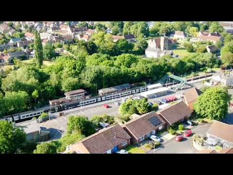
Templecombe - Stations From The Air #1
A pair of South Western Railway Class 159s arriving in Templecombe, Somerset, England, June 2023.
Nearby Amenities
Located within 500m of 51.001725,-2.4156602Have you been to Templecombe?
Leave your review of Templecombe below (or comments, questions and feedback).