Bracklinn Falls
Waterfall in Perthshire
Scotland
Bracklinn Falls

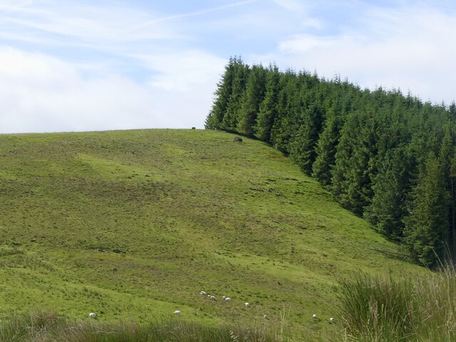
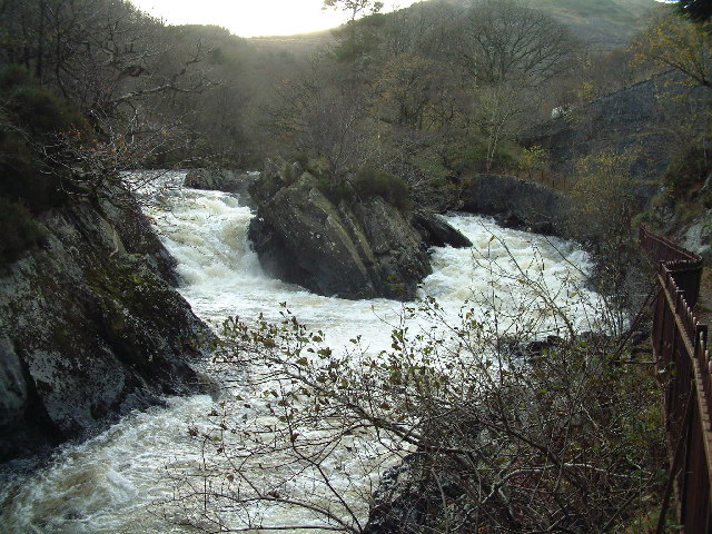
Bracklinn Falls is a magnificent waterfall located in Perthshire, Scotland. Nestled within the charming village of Callander, this natural wonder is a popular destination for nature enthusiasts and tourists alike. The falls are situated in the heart of the Bracklinn Woods, a picturesque woodland area that adds to the allure of the site.
The waterfall itself is a breathtaking sight to behold, with water cascading down a series of rocky ledges before flowing into a deep pool below. The falls are known for their impressive height, reaching up to 66 feet (20 meters) in some areas. The rushing water creates a mesmerizing display of power and beauty, especially after heavy rainfall, when the falls are at their most dramatic.
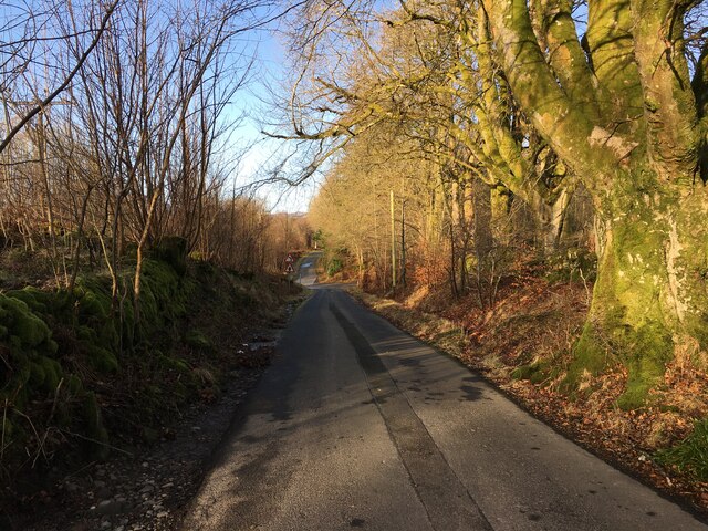
Visitors can access Bracklinn Falls via a well-maintained footpath that winds through the woodland. The route provides stunning views of the surrounding countryside, with lush greenery and wildlife abounding. Along the trail, there are several viewing platforms strategically placed to offer visitors the best vantage points to admire the falls.
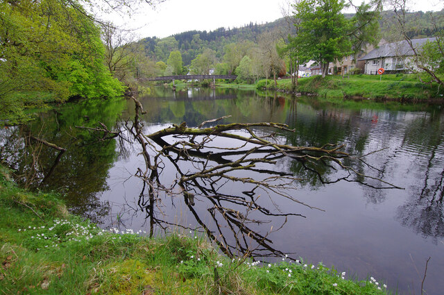
The area around Bracklinn Falls is also rich in history and cultural significance. Nearby, the remains of an ancient stone circle known as the Bochastle Circle can be found, adding an element of intrigue to the site. Additionally, the falls are located within close proximity to the Loch Lomond and The Trossachs National Park, offering visitors the opportunity to explore even more natural beauty in the surrounding area.
Overall, Bracklinn Falls is a stunning natural attraction that showcases the beauty of Perthshire's landscape. Its combination of scenic woodland, captivating waterfall, and historical significance make it a must-visit destination for anyone exploring the region.
If you have any feedback on the listing, please let us know in the comments section below.
Bracklinn Falls Images
Images are sourced within 2km of 56.2492/-4.1879799 or Grid Reference NN6408. Thanks to Geograph Open Source API. All images are credited.


Bracklinn Falls is located at Grid Ref: NN6408 (Lat: 56.2492, Lng: -4.1879799)
Unitary Authority: Stirling
Police Authority: Forth Valley
What 3 Words
///gratitude.degree.voting. Near Callander, Stirling
Nearby Locations
Related Wikis

Bracklinn Falls
The Bracklinn Falls are a series of waterfalls north-east of Callander, Scotland on the course of the Keltie Water, where the river crosses the Highland...

A84 road
The A84 is a major road in Scotland, United Kingdom. It links the city of Stirling with Lochearnhead, running an approximate 28 miles (45 km). == Road... ==

Callander Jazz and Blues Festival
TheCallander Jazz and Blues Festival is a music festival held in the town of Callander in Loch Lomond and the Trossachs National Park, Scotland. It was...

Callander
Callander (; Scottish Gaelic: Calasraid) is a small town in the council area of Stirling, Scotland, situated on the River Teith. The town is located in...

Callander railway station
Callander was a railway station located in Callander, in the council area of Stirling, Scotland. == History == The first station at Callander was a terminus...
McLaren High School
McLaren High School is a state comprehensive, non-denominational secondary school in Callander, central Scotland. It was founded in 1892 by Donald McLaren...

Cambusmore (Stirling)
Cambusmore is a country house in Stirling, Scotland, located 1 mile (1.6 km) southeast of the town of Callander. Situated on a tributary on the northern...
Garbh Uisge
Garbh Uisge is a river of approximately 7 km in the Trossachs of Scotland just north-west Callander. It is the outflow of Loch Lubnaig and joins with Eas...
Nearby Amenities
Located within 500m of 56.2492,-4.1879799Have you been to Bracklinn Falls?
Leave your review of Bracklinn Falls below (or comments, questions and feedback).