Brackland Glen

Valley in Perthshire

Scotland

Brackland Glen

Keltie Water View from the bridge.
Keltie Water Credit: Richard Webb

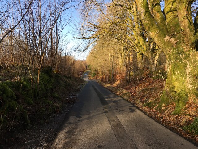
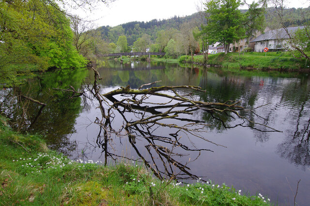
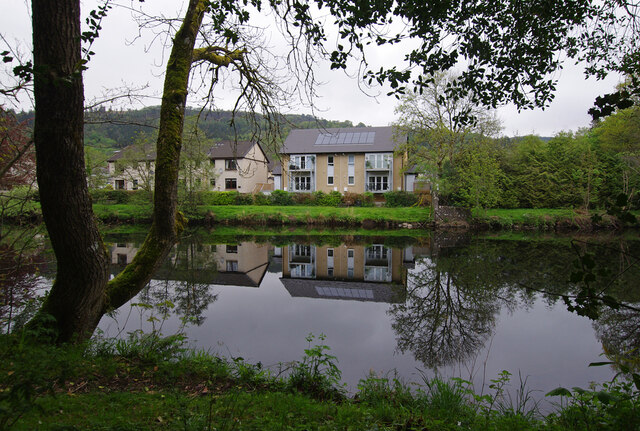
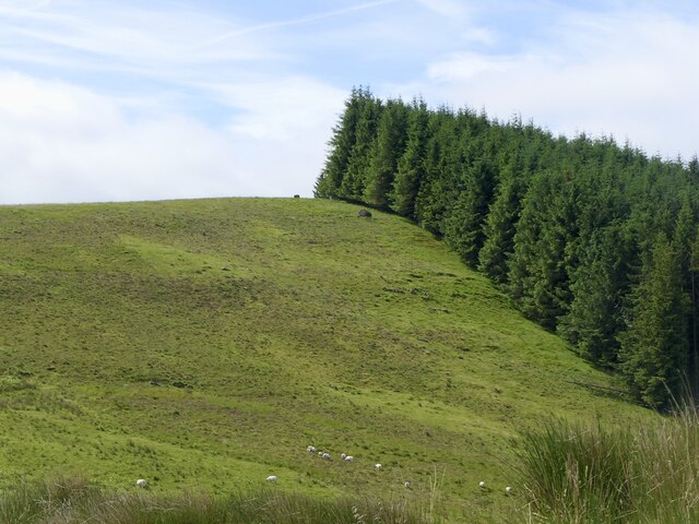
Brackland Glen is a picturesque valley located in Perthshire, Scotland. Nestled between rolling hills and lush forests, the glen is a haven for nature lovers and outdoor enthusiasts. The valley is home to a diverse range of flora and fauna, including native Scottish wildlife such as red deer, red squirrels, and various bird species.

Visitors to Brackland Glen can enjoy a variety of outdoor activities, including hiking, birdwatching, and picnicking. There are several well-maintained trails that wind through the valley, offering stunning views of the surrounding landscape. The tranquil atmosphere of the glen makes it a perfect spot for relaxation and contemplation.

In addition to its natural beauty, Brackland Glen also has a rich cultural history. The valley is dotted with ancient ruins and archaeological sites, showcasing its importance in Scotland's past. Visitors can explore these historic landmarks and learn more about the area's heritage.

Overall, Brackland Glen is a hidden gem in Perthshire, offering a peaceful retreat from the hustle and bustle of everyday life. Its stunning scenery and tranquil ambiance make it a must-visit destination for anyone looking to connect with nature and history.

If you have any feedback on the listing, please let us know in the comments section below.

Brackland Glen Images

Images are sourced within 2km of 56.249468/-4.1865747 or Grid Reference NN6408. Thanks to Geograph Open Source API. All images are credited.

Keltie Water View from the bridge.
Keltie Water
View from the bridge.
Keltie Water View upstream from above where the river plunges through a gorge to Callander.
Keltie Water
View upstream from above where the river plunges through a gorge to Callander.
View towards Uamh Bheag
Road, Coire Eas na Callich Accesses woodland and sheep grazing via a bridge over the Keltie Water.
Road, Coire Eas na Callich
Accesses woodland and sheep grazing via a bridge over the Keltie Water.
Road, Coille Eas na Callich Accesses woodland and sheep grazing via a bridge over the Keltie Water.
Road, Coille Eas na Callich
Accesses woodland and sheep grazing via a bridge over the Keltie Water.
Gateway on the track to Leathan Dhail This gate was open, although with an open padlock on the chain.  Three other gates on this track were all padlocked closed - surely an over-reaction on this dead-end track?
Gateway on the track to Leathan Dhail
This gate was open, although with an open padlock on the chain. Three other gates on this track were all padlocked closed - surely an over-reaction on this dead-end track?
Bridge over the Keltie Water
Bend on the Leathan Dhail track A view taking in the higher hills south of Loch Earn, with the buildings at Braeleny in the middle distance, on the left-hand side of the photo.
Bend on the Leathan Dhail track
A view taking in the higher hills south of Loch Earn, with the buildings at Braeleny in the middle distance, on the left-hand side of the photo.
Minor road near Keltie Bridge
River Teith, Callander Looking upstream to the footbridge. Fishermen call this the black hole, but it's taking time to absorb the fallen tree.
River Teith, Callander
Looking upstream to the footbridge. Fishermen call this the black hole, but it's taking time to absorb the fallen tree.
River Teith, Callander Looking across to modern housing on Buchanan Place.
River Teith, Callander
Looking across to modern housing on Buchanan Place.
Logging road spur Forestry above the Keltie Water above Callander.
Logging road spur
Forestry above the Keltie Water above Callander.
View from near Tom Dubh Towards Ben Ledi
View from near Tom Dubh
Towards Ben Ledi
Eas Uilleam A burn about to plunge off the hill towards Callander.
Eas Uilleam
A burn about to plunge off the hill towards Callander.
View from Tom Dubh A westward continuation of the Braes of Doune. The land is used for sheep farming.
View from Tom Dubh
A westward continuation of the Braes of Doune. The land is used for sheep farming.
Bench, Coille Eas na Callich
View towards Callander Craig From the edge of Coille Eas na Callich across the Keltie Water.
View towards Callander Craig
From the edge of Coille Eas na Callich across the Keltie Water.
A' Chrannach Classic straight edge forestry above Callander.
A' Chrannach
Classic straight edge forestry above Callander.
Show me another place!

Brackland Glen is located at Grid Ref: NN6408 (Lat: 56.249468, Lng: -4.1865747)

Unitary Authority: Stirling

Police Authority: Forth Valley

What 3 Words

///snowy.states.shifting. Near Callander, Stirling

Related Wikis

Bracklinn Falls

The Bracklinn Falls are a series of waterfalls north-east of Callander, Scotland on the course of the Keltie Water, where the river crosses the Highland...

A84 road

The A84 is a major road in Scotland, United Kingdom. It links the city of Stirling with Lochearnhead, running an approximate 28 miles (45 km). == Road... ==

Callander Jazz and Blues Festival

TheCallander Jazz and Blues Festival is a music festival held in the town of Callander in Loch Lomond and the Trossachs National Park, Scotland. It was...

Callander

Callander (; Scottish Gaelic: Calasraid) is a small town in the council area of Stirling, Scotland, situated on the River Teith. The town is located in...

Nearby Amenities

Located within 500m of 56.249468,-4.1865747
Source: extrapolation
Whitewater Rapid Grade: 5
Whitewater Rapid Name: Bracklinn Falls
Lat/Long: 56.2489138/-4.1873384
Source: extrapolation
Whitewater: put_in
Lat/Long: 56.2490114/-4.1880253
West Bracklinn
Place: hamlet
Lat/Long: 56.2482605/-4.1790007
Bracklinn Falls
Waterway: waterfall
Wikidata: Q4953728
Wikipedia: en:Bracklinn Falls
Lat/Long: 56.2493457/-4.1880564
Bench
Backrest: yes
Lat/Long: 56.248119/-4.1900419
Bench
Backrest: yes
Lat/Long: 56.2480686/-4.1903034
Information: guidepost
Material: wood
Tourism: information
Lat/Long: 56.248225/-4.1897223
Board Type: history
Information: board
Tourism: information
Lat/Long: 56.2476963/-4.1934652
Information: guidepost
Material: wood
Tourism: information
Lat/Long: 56.2478861/-4.1922374
The data included in this document is from www.openstreetmap.org. The data is made available under ODbL.

Have you been to Brackland Glen?

Leave your review of Brackland Glen below (or comments, questions and feedback).