Grand Junction Island
Island in Middlesex Spelthorne
England
Grand Junction Island
Grand Junction Island, also known as Middlesex Island, is a small landmass located in the southwestern region of Middlesex County, Ontario, Canada. Situated in the heart of the Thames River, this island encompasses an area of approximately 10 hectares.
The island boasts a rich history, dating back to the early 19th century when it was used as a strategic location for water transport and shipping. Its name, Grand Junction Island, was derived from its location at the confluence of the North and South Thames Rivers. Over time, the island became an important hub for trade and commerce, facilitating the movement of goods and supplies throughout the region.
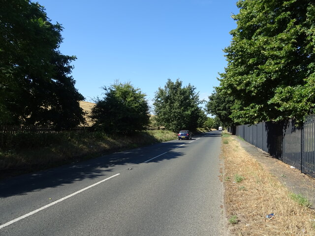
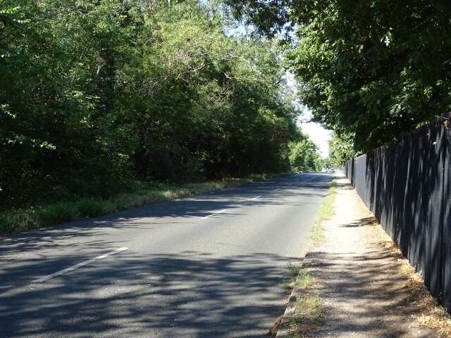
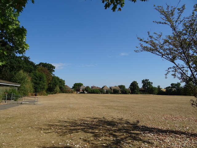
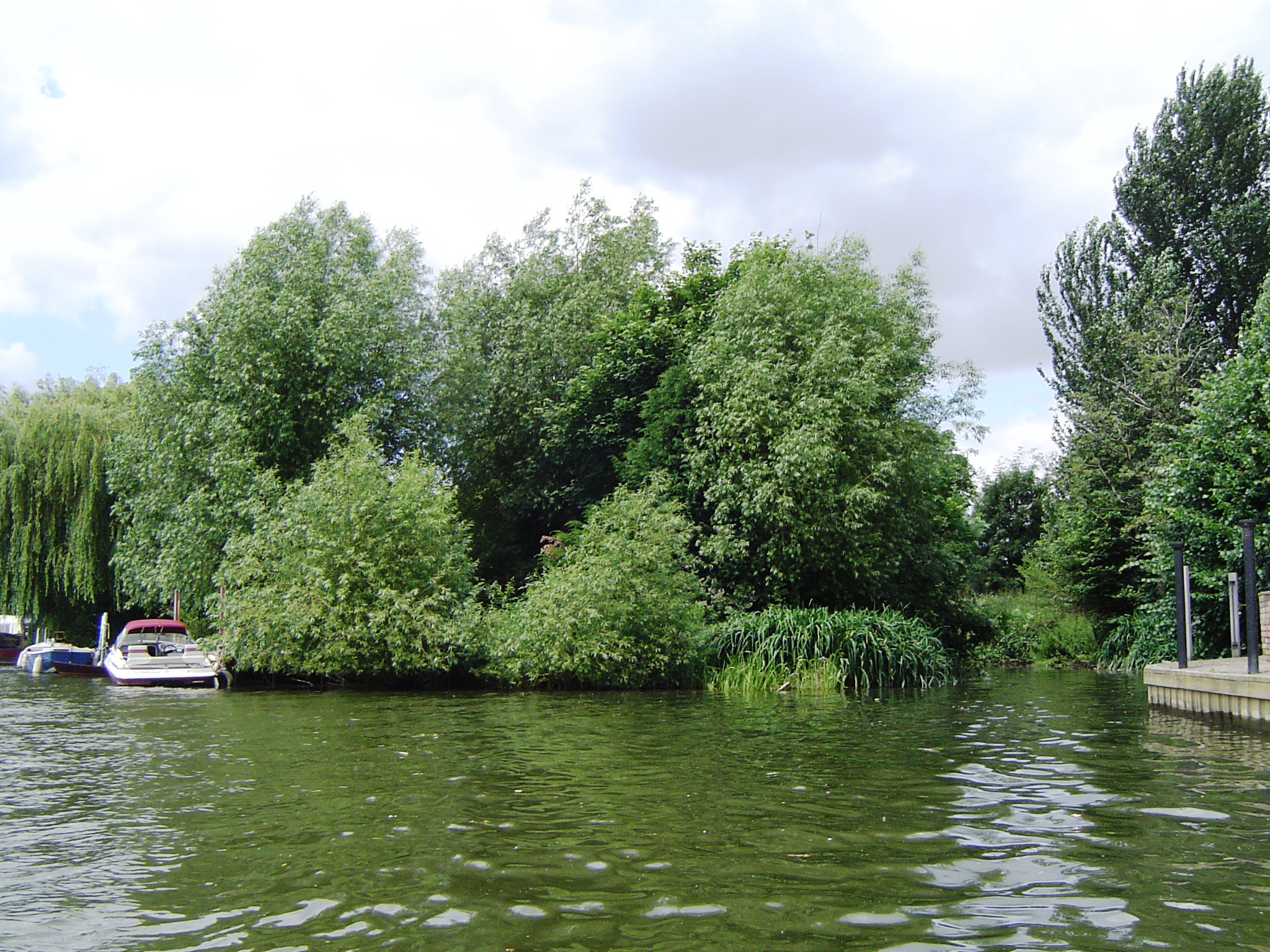
Today, Grand Junction Island is primarily used for recreational purposes. It is a popular destination for nature enthusiasts, offering picturesque views of the surrounding river and abundant wildlife. The island is home to a variety of plant and animal species, including migratory birds that make it a birdwatcher's paradise.
Visitors can access the island via a pedestrian bridge that connects it to the mainland, providing easy access for hikers and cyclists. The island features well-maintained walking trails, picnic areas, and scenic lookout points. Camping facilities are also available for those seeking a longer stay.
Overall, Grand Junction Island is a serene and idyllic retreat, offering a peaceful escape from the bustling city life. Its natural beauty, historical significance, and recreational opportunities make it a popular destination for locals and tourists alike.
If you have any feedback on the listing, please let us know in the comments section below.
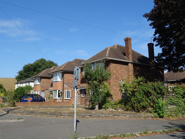
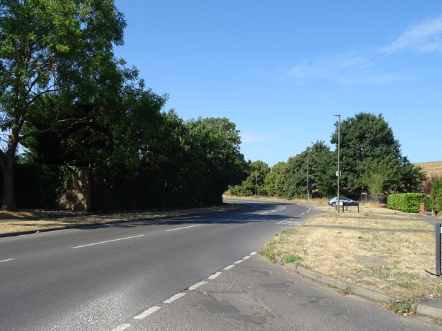
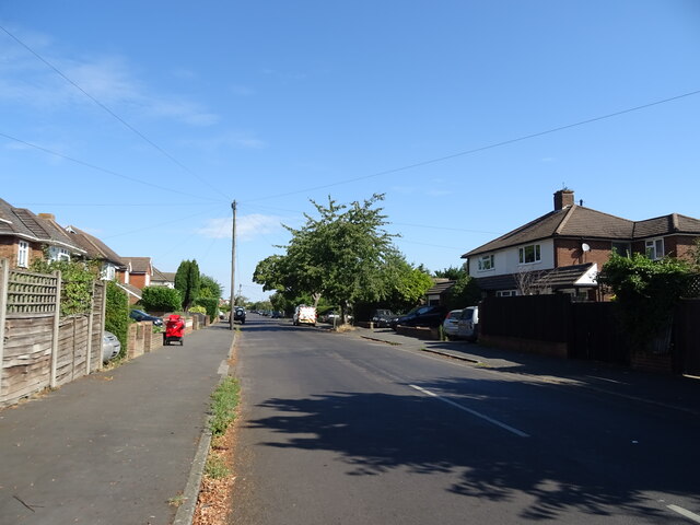
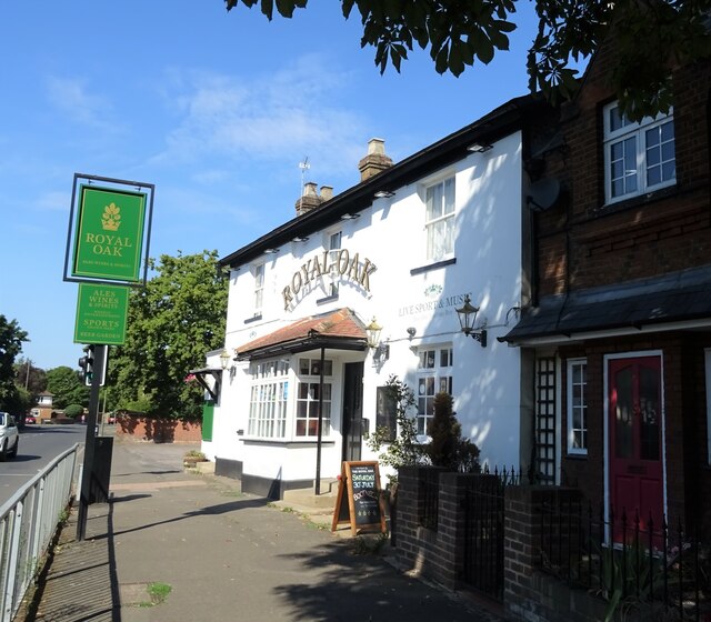
Grand Junction Island Images
Images are sourced within 2km of 51.409874/-0.38852499 or Grid Reference TQ1269. Thanks to Geograph Open Source API. All images are credited.
Grand Junction Island is located at Grid Ref: TQ1269 (Lat: 51.409874, Lng: -0.38852499)
Administrative County: Surrey
District: Spelthorne
Police Authority: Surrey
What 3 Words
///inches.sleep.train. Near West Molesey, Surrey
Related Wikis
Grand Junction Isle
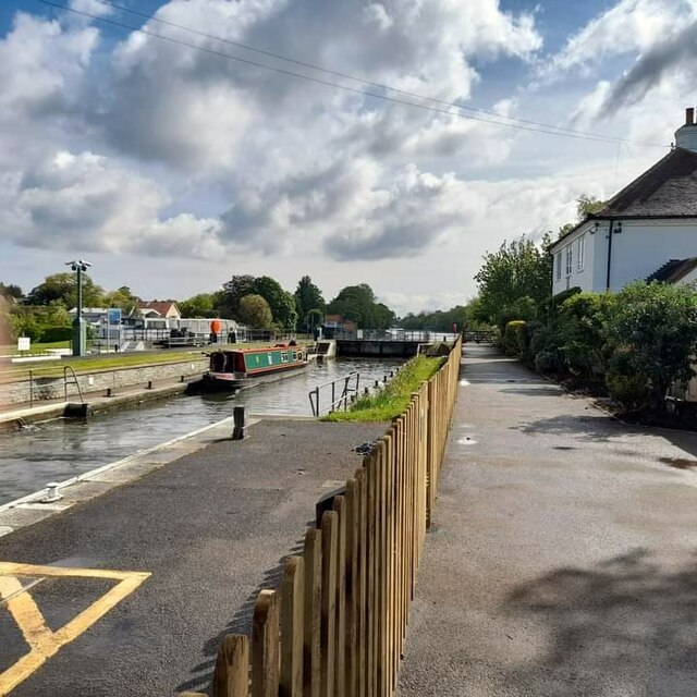
Grand Junction Isle is a small island in the River Thames on the reach above Molesey Lock at Sunbury-on-Thames, Surrey, England. It is just downstream...
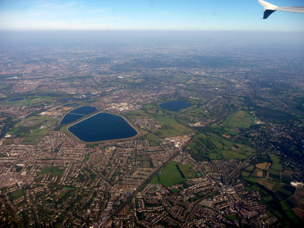
Stain Hill Reservoirs
The Stain Hill Reservoirs in London, England with embankments occupy 0.175 square kilometres (43 acres). They are a pair which sit high between others...

Molesey Reservoirs
The Molesey Reservoirs were a group of reservoirs in England near Molesey, Surrey, in the western suburbs of London. There was an adjacent water treatment...
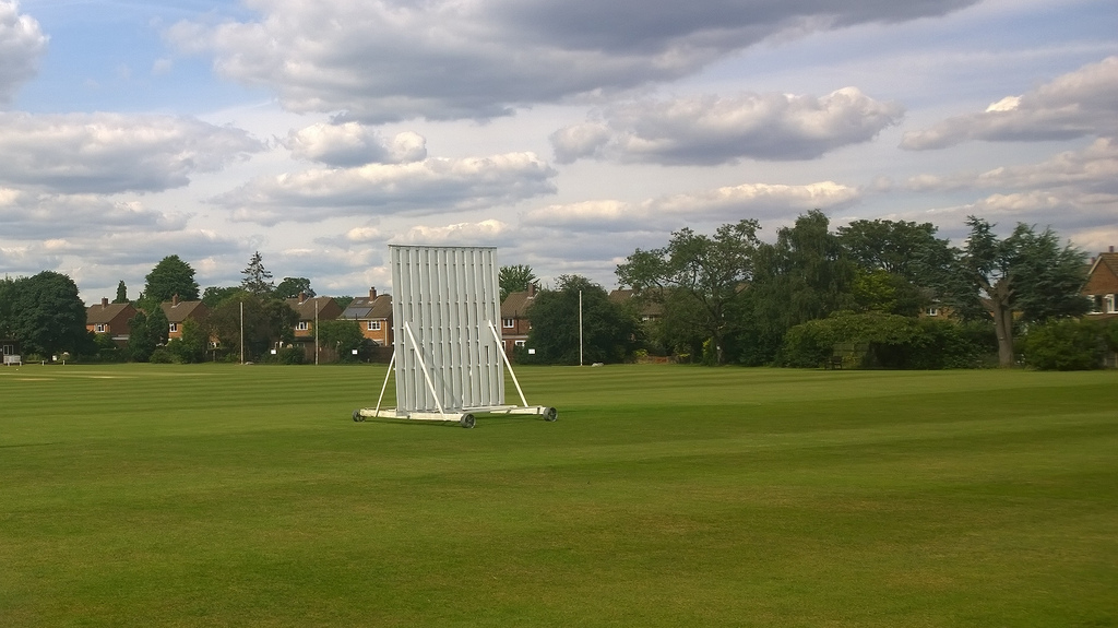
Kenton Court Meadow
Kenton Court Meadow is a cricket ground in Sunbury-on-Thames, Surrey (formerly Middlesex). First established in 1957, the first recorded match on the...
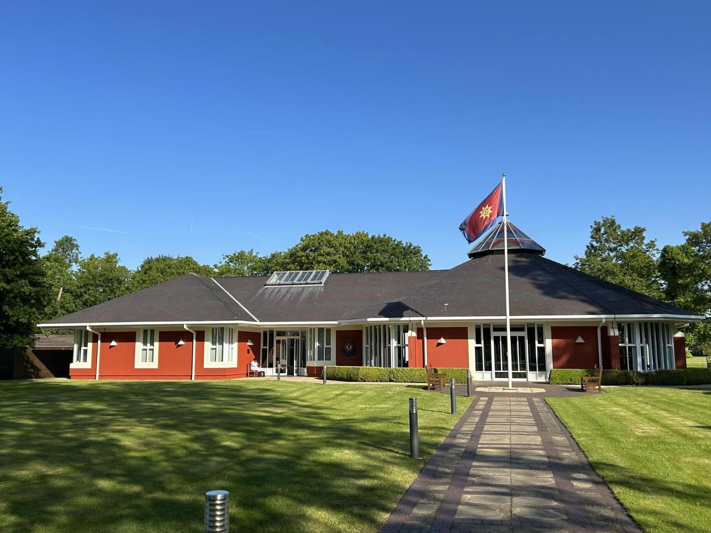
Sunbury Court
Sunbury court is a historic building located in Sunbury-on-Thames. Since the 1920s the court has been owned by The Salvation Army and has been the meeting...

Sunbury Court Island
Sunbury Court Island is a long, pedestrianised residential island of houses and bungalows in the River Thames in England on the 'Sunbury and Hampton' or...

Sunnyside Reservoir
Sunnyside Reservoir is a reservoir forming part of the Hampton waterworks complex within the London borough of Richmond-upon-Thames. == History == The...

Rivermead Island
Rivermead Island is a flat grassy island in the River Thames on the reach above Molesey Lock at Sunbury-on-Thames, Surrey, England which is owned mostly...
Related Videos

Move ya body girl | #travel #shorts @ BP Sunbury| London
england #uk #travel #shortsvideo #youtubeshorts #beautiful #birds.
Don't be busy, be Productive| beautiful premise| #youtubeshorts #shortsvideo #Shorts #office #travel
Don't be busy, be Productive| a great workplace| #youtubeshorts #shortsvideo #Shorts #office #travel.

The African Queen
A beautiful houseboat called 'The African Queen' - I love unusual homes and the surroundings are so lush and beautiful.

Who else wants to work here?| Absolutely Luxurious ❤️ | #shortsvideo #youtubeshorts #travel #shorts
This office building is located in Sunbury on thames. It's one of the most renowned companies in the UK.
Nearby Amenities
Located within 500m of 51.409874,-0.38852499Have you been to Grand Junction Island?
Leave your review of Grand Junction Island below (or comments, questions and feedback).