Sunbury Court Island
Island in Middlesex Spelthorne
England
Sunbury Court Island
Sunbury Court Island is a small island located in the county of Middlesex, England. Situated on the River Thames, the island is primarily known for its historic building, Sunbury Court, which serves as a conference and training center.
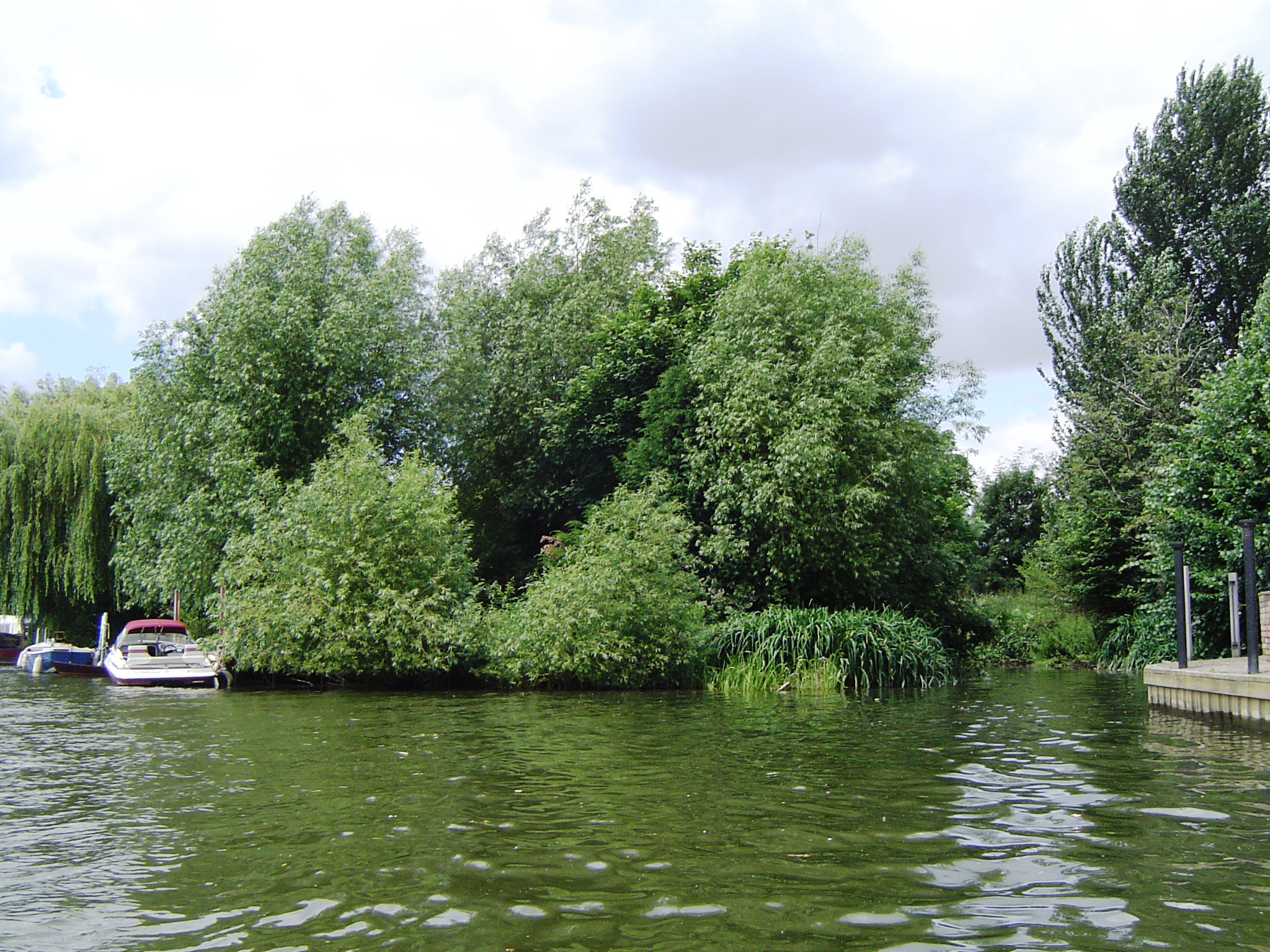
The island is accessible by a private road bridge that connects it to the mainland. Spanning over 2.5 acres, it is a picturesque and tranquil location surrounded by lush greenery and the flowing river. The island's serene ambiance makes it an ideal retreat for conferences, meetings, and training events.
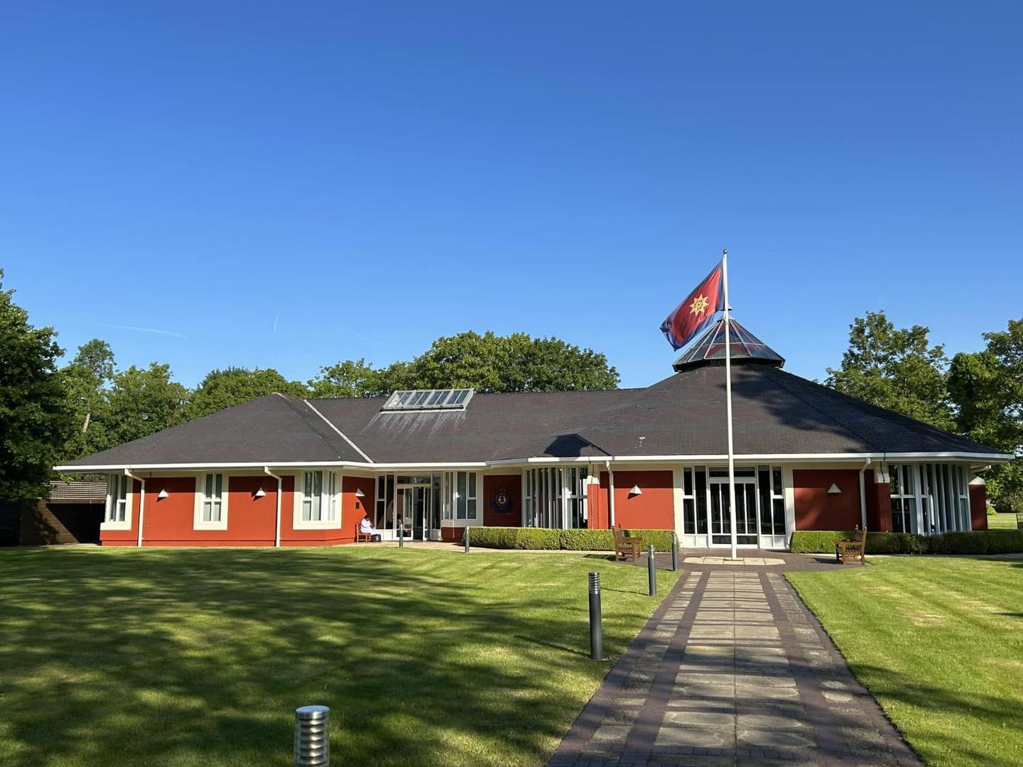
Sunbury Court, the main building on the island, dates back to the 18th century and boasts stunning Georgian architecture. The building has been meticulously restored and offers modern facilities, including conference rooms, accommodation, and dining facilities. The interior spaces are tastefully decorated, combining traditional and contemporary elements.
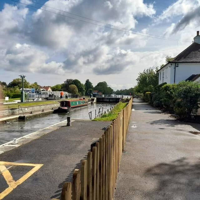
The island's location along the River Thames adds to its charm. Visitors can enjoy scenic walks along the riverbanks, taking in the beautiful views and observing wildlife. The island is also a popular spot for fishing enthusiasts, who can cast their lines and try their luck in the Thames' waters.
Sunbury Court Island is not open to the general public, but it welcomes guests attending conferences, events, and training programs. Its serene setting, combined with its historic building and riverside location, make it a unique and sought-after venue for a variety of occasions.
If you have any feedback on the listing, please let us know in the comments section below.
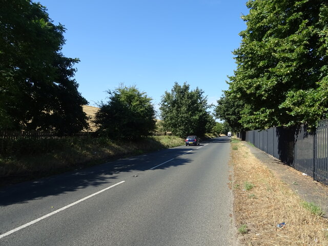
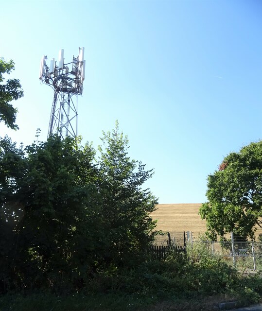
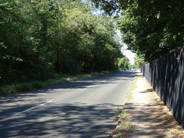
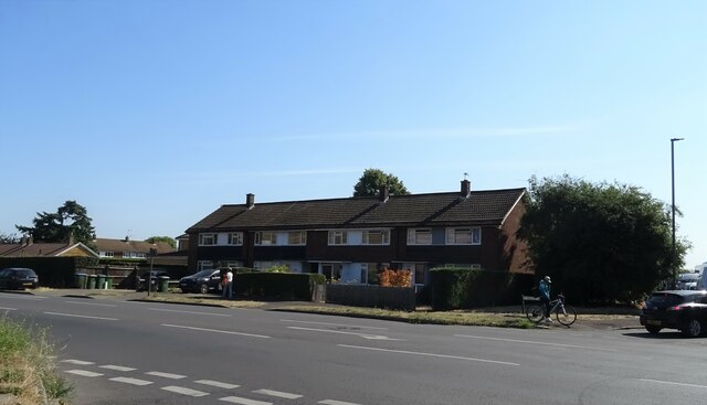
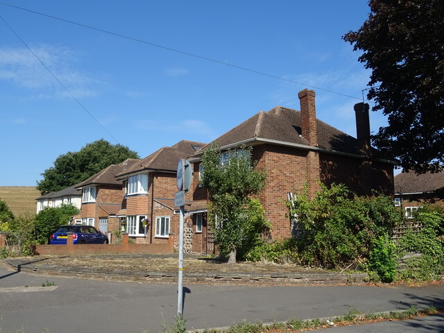
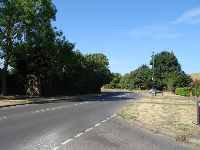
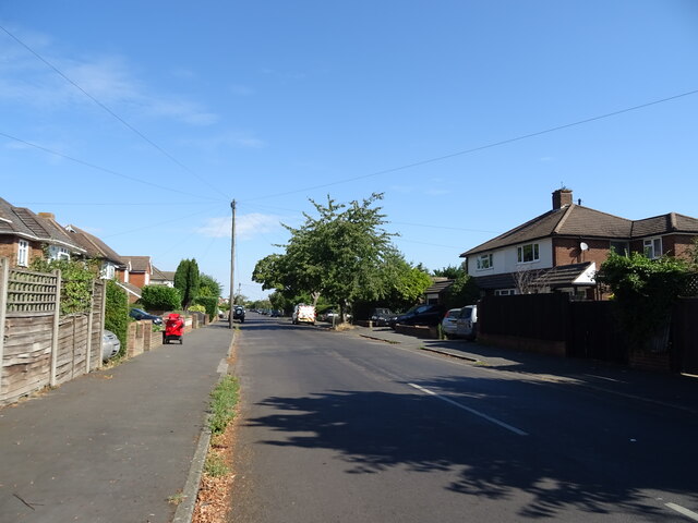
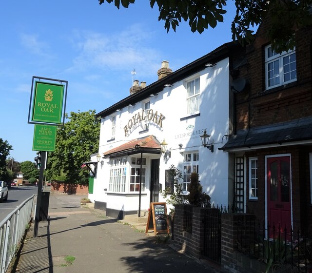
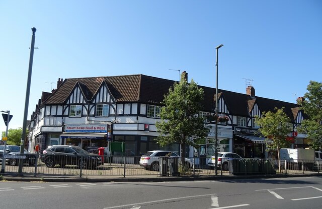
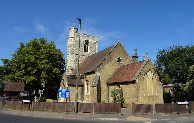
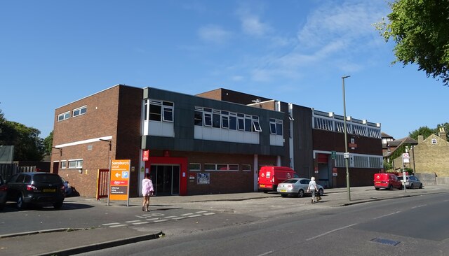
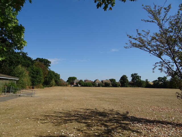
Sunbury Court Island Images
Images are sourced within 2km of 51.409004/-0.39528483 or Grid Reference TQ1168. Thanks to Geograph Open Source API. All images are credited.

Sunbury Court Island is located at Grid Ref: TQ1168 (Lat: 51.409004, Lng: -0.39528483)
Administrative County: Surrey
District: Spelthorne
Police Authority: Surrey
What 3 Words
///shut.churn.move. Near West Molesey, Surrey
Nearby Locations
Related Wikis

Sunbury Court Island
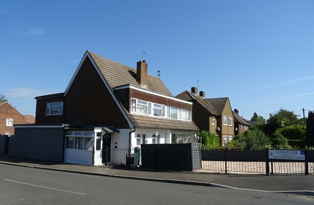
Sunbury Court Island is a long, pedestrianised residential island of houses and bungalows in the River Thames in England on the 'Sunbury and Hampton' or...
Sunbury Court
Sunbury court is a historic building located in Sunbury-on-Thames. Since the 1920s the court has been owned by The Salvation Army and has been the meeting...

Rivermead Island
Rivermead Island is a flat grassy island in the River Thames on the reach above Molesey Lock at Sunbury-on-Thames, Surrey, England which is owned mostly...
Grand Junction Isle
Grand Junction Isle is a small island in the River Thames on the reach above Molesey Lock at Sunbury-on-Thames, Surrey, England. It is just downstream...

Molesey Reservoirs
The Molesey Reservoirs were a group of reservoirs in England near Molesey, Surrey, in the western suburbs of London. There was an adjacent water treatment...
Kenton Court Meadow
Kenton Court Meadow is a cricket ground in Sunbury-on-Thames, Surrey (formerly Middlesex). First established in 1957, the first recorded match on the...
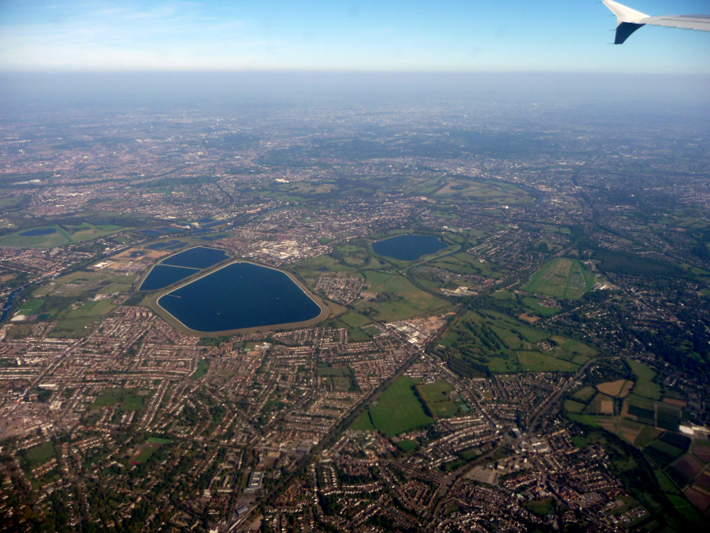
Stain Hill Reservoirs
The Stain Hill Reservoirs in London, England with embankments occupy 0.175 square kilometres (43 acres). They are a pair which sit high between others...
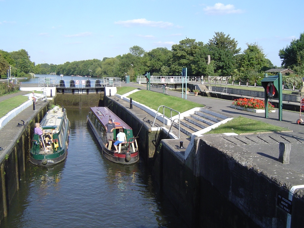
Sunbury Lock
Sunbury Lock is a lock complex of the River Thames in England near Walton-on-Thames in north-west Surrey, the third lowest of forty four on the non-tidal...
Nearby Amenities
Located within 500m of 51.409004,-0.39528483Have you been to Sunbury Court Island?
Leave your review of Sunbury Court Island below (or comments, questions and feedback).