Rivermead Island

Island in Middlesex Spelthorne

England

Rivermead Island

Sunbury Lock
Sunbury Lock Credit: Alex McGregor

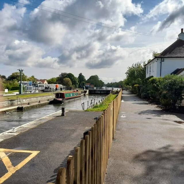
Rivermead Island is a picturesque island located in the county of Middlesex, England. Situated in the River Thames, it spans an area of approximately 25 acres and is accessible via a footbridge from the town of Staines-upon-Thames.

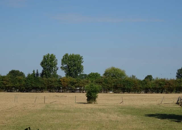
The island is known for its natural beauty and serene atmosphere, making it a popular destination for nature lovers and those seeking tranquility away from the bustling city life. It boasts lush greenery, including meadows, trees, and a variety of wildflowers, creating a haven for local wildlife such as birds, ducks, and swans.

Rivermead Island offers a range of recreational activities for visitors. It features well-maintained walking trails that wind through the island, providing opportunities for leisurely strolls and gentle hikes. The footpaths are dotted with benches, inviting visitors to sit and enjoy the stunning river views or observe the wildlife in their natural habitat.

The island also offers picnic areas, perfect for families and friends to gather and enjoy a meal amidst the peaceful surroundings. Additionally, it is home to a small playground, providing entertainment for children.

Rivermead Island plays host to various events throughout the year, including community festivals, open-air concerts, and charity walks. These events bring together locals and tourists alike, fostering a sense of community and enjoyment.

Overall, Rivermead Island is a hidden gem in Middlesex, offering a tranquil retreat for those seeking solace in nature. Its enchanting landscapes, variety of wildlife, and recreational facilities make it a must-visit destination for anyone looking to escape the hustle and bustle of everyday life.

If you have any feedback on the listing, please let us know in the comments section below.

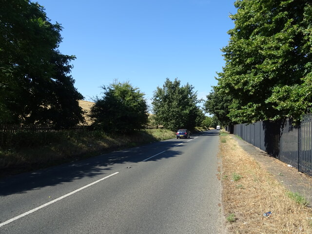
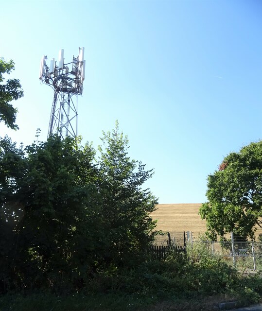
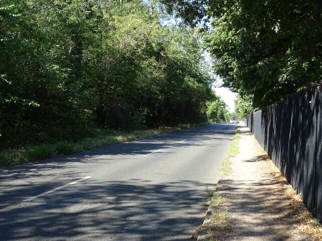
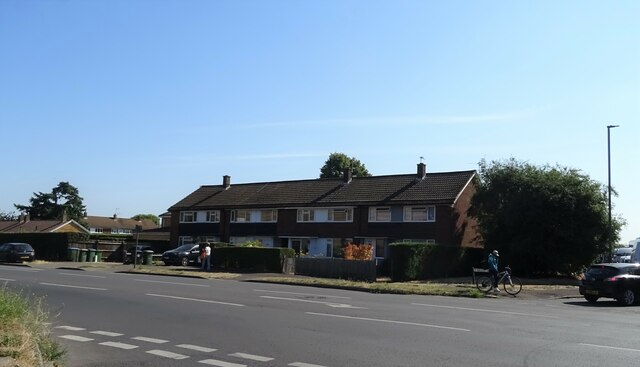
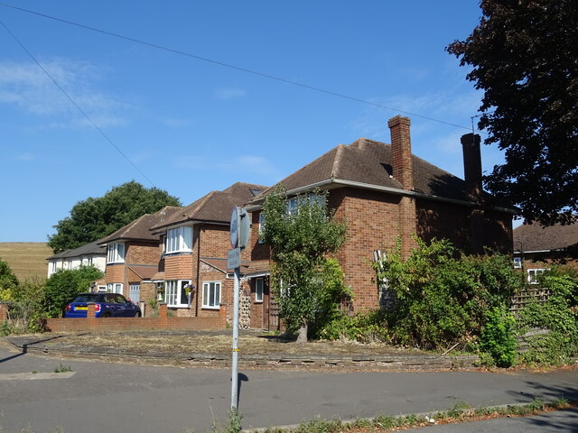
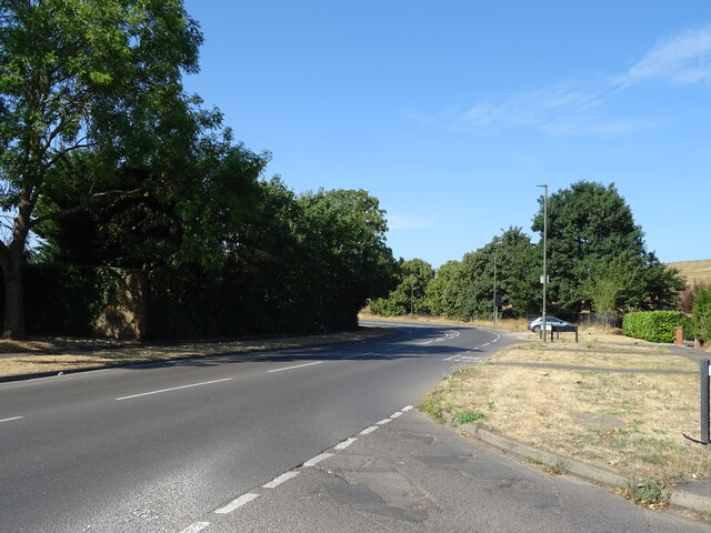
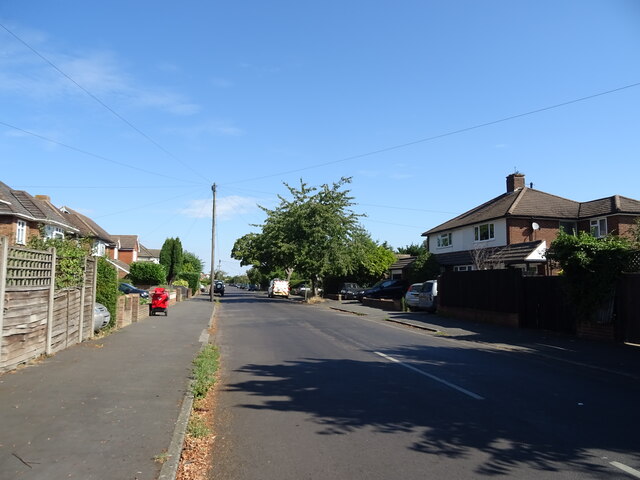
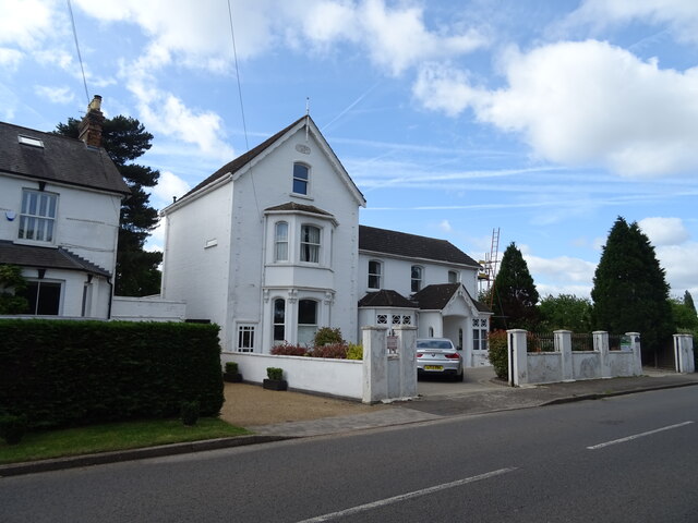
Rivermead Island Images

Images are sourced within 2km of 51.406862/-0.40170057 or Grid Reference TQ1168. Thanks to Geograph Open Source API. All images are credited.

Sunbury Lock
Sunbury Lock
The Grove, Walton-on-Thames
Houses on Terrace Road, Walton-on-Thames
Terrace Road, Walton-on-Thames (A3050)
Grazing off Terrace Road
Terrace Road (A3050)
Houses on Terrace Road
Walton Road (B369) Beside Knight Reservoir.
Walton Road (B369)
Beside Knight Reservoir.
Communications mast and reservoir bank
Walton Road (B369) Beside Bessborough Reservoir.
Walton Road (B369)
Beside Bessborough Reservoir.
Houses on Walton Road
Walton Road (B369)
Walton Road (B369)
Weston Avenue, Molesey
Elizabeth II postbox on Terrace Road, Walton-on-Thames Postbox No. KT12 110.
See <a href="https://www.geograph.org.uk/photo/7259170">TQ1067 : Shops on Terrace Road, Walton-on-Thames</a> for context.
Elizabeth II postbox on Terrace Road, Walton-on-Thames
Postbox No. KT12 110. See TQ1067 : Shops on Terrace Road, Walton-on-Thames for context.
Shops on Terrace Road, Walton-on-Thames Showing position of Postbox No. KT12 110.
See <a href="https://www.geograph.org.uk/photo/7259168">TQ1067 : Elizabeth II postbox on Terrace Road, Walton-on-Thames</a> for postbox.
Shops on Terrace Road, Walton-on-Thames
Showing position of Postbox No. KT12 110. See TQ1067 : Elizabeth II postbox on Terrace Road, Walton-on-Thames for postbox.
George VI postbox on Terrace Road, Walton-on-Thames Postbox No. KT12 111.
George VI postbox on Terrace Road, Walton-on-Thames
Postbox No. KT12 111.
House on Halliford Road
Show me another place!

Rivermead Island is located at Grid Ref: TQ1168 (Lat: 51.406862, Lng: -0.40170057)

Administrative County: Surrey

District: Spelthorne

Police Authority: Surrey

What 3 Words

///into.bump.carbon. Near Sunbury-on-Thames, Surrey

Related Wikis

Rivermead Island

Rivermead Island is a flat grassy island in the River Thames on the reach above Molesey Lock at Sunbury-on-Thames, Surrey, England which is owned mostly...
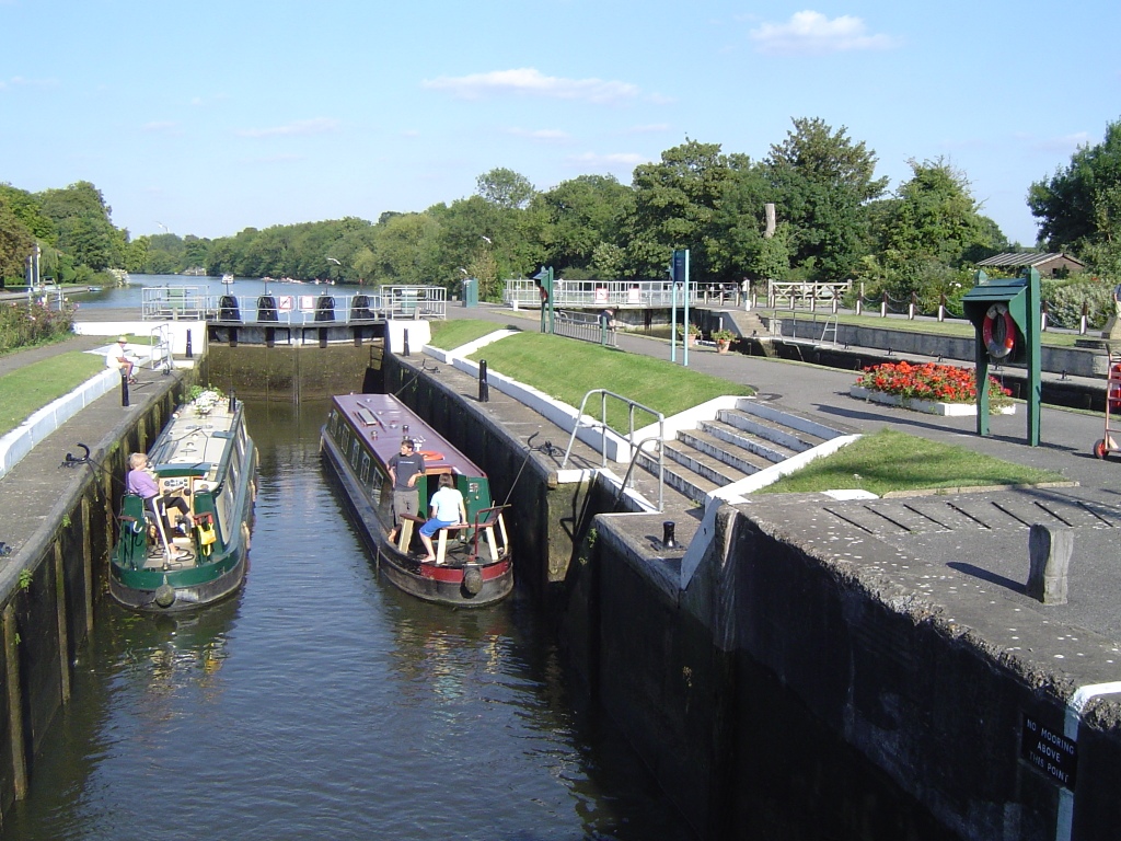
Sunbury Lock

Sunbury Lock is a lock complex of the River Thames in England near Walton-on-Thames in north-west Surrey, the third lowest of forty four on the non-tidal...

Sunbury Court Island

Sunbury Court Island is a long, pedestrianised residential island of houses and bungalows in the River Thames in England on the 'Sunbury and Hampton' or...

Sunbury Court

Sunbury court is a historic building located in Sunbury-on-Thames. Since the 1920s the court has been owned by The Salvation Army and has been the meeting...

Sunbury Lock Ait

Sunbury Lock Ait is the ait (island) in the River Thames in England adjacent to Sunbury Lock between Walton-on-Thames, and Sunbury-on-Thames, Surrey. It...

Church of St Mary the Virgin, Sunbury-on-Thames

The Church of St Mary the Virgin is a Grade II* listed church of the Church of England in the village of Sunbury next to the river Thames. == History... ==

Molesey Reservoirs

The Molesey Reservoirs were a group of reservoirs in England near Molesey, Surrey, in the western suburbs of London. There was an adjacent water treatment...

Knight and Bessborough Reservoirs

Knight and Bessborough Reservoirs is a 63.4-hectare (157-acre) biological Site of Special Scientific Interest in Walton-on-Thames in Surrey. It is part...

Nearby Amenities

Located within 500m of 51.406862,-0.40170057
Traffic Calming: hump
Lat/Long: 51.4067323/-0.4043878
Traffic Calming: hump
Lat/Long: 51.4063923/-0.4057323
Bus Stop
Sunbury Court
Bus: yes
Naptan AtcoCode: 40004402028A
Naptan Bearing: SW
Naptan CommonName: Sunbury Court
Naptan Indicator: Just after
Naptan Landmark: Sunbury Court
Naptan NaptanCode: surdgapt
Naptan Street: Lower Hampton Road
Network: TfL
Public Transport: platform
Shelter: yes
Source: naptan_import
Lat/Long: 51.4087721/-0.3976135
Bus Stop
Sunbury Court
Naptan AtcoCode: 40004402028B
Naptan Bearing: NE
Naptan CommonName: Sunbury Court
Naptan Indicator: Just Before
Naptan Landmark: Sunbury Court
Naptan NaptanCode: surdgapw
Naptan Street: Lower Hampton Road
Naptan Verified: no
Public Transport: platform
Source: naptan_import
Lat/Long: 51.4090375/-0.397184
Bus Stop
French Street
Naptan AtcoCode: 40004402029A
Naptan Bearing: SW
Naptan CommonName: French Street
Naptan Indicator: Opp
Naptan Landmark: French Street
Naptan NaptanCode: surdgawd
Naptan Street: Lower Hampton Road
Public Transport: platform
Ref: 5Z07
Source: naptan_import
Lat/Long: 51.4076855/-0.4011105
Bus Stop
French Street
Bus: yes
Naptan AtcoCode: 40004402029B
Naptan Bearing: NE
Naptan CommonName: French Street
Naptan Indicator: Just Before
Naptan Landmark: French Street
Naptan NaptanCode: surdgawg
Naptan Street: Lower Hampton Road
Naptan Verified: no
Public Transport: platform
Shelter: no
Source: naptan_import
Lat/Long: 51.4074825/-0.4019508
Bus Stop
The Avenue
Bench: no
Bin: yes
Bus: yes
Departures Board: timetable
Lit: no
Naptan AtcoCode: 40004402030A
Naptan Bearing: SW
Naptan CommonName: Orchard Meadow
Naptan Indicator: Just after
Naptan Landmark: The Avenue
Naptan NaptanCode: surdgdag
Naptan Street: Thames Street
Naptan Verified: no
Network: 216
Operator: London Buses
Public Transport: platform
Shelter: no
Source: naptan_import
Tactile Paving: no
Lat/Long: 51.4059862/-0.4070844
Bus Stop
The Avenue
Bench: yes
Bin: yes
Lit: no
Naptan AtcoCode: 40004402030B
Naptan Bearing: NE
Naptan CommonName: Orchard Meadow
Naptan Indicator: Just Before
Naptan Landmark: The Avenue
Naptan NaptanCode: surdgdgj
Naptan Street: Thames Street
Naptan Verified: no
Public Transport: platform
Shelter: no
Source: naptan_import
Tactile Paving: no
Lat/Long: 51.4062031/-0.4067734
Addr Housenumber: 50
Lat/Long: 51.4060368/-0.4070144
Addr Housenumber: 46
Lat/Long: 51.4061385/-0.4066735
Addr Housenumber: 4
Lat/Long: 51.4070571/-0.4029072
Addr Housenumber: 22B
Lat/Long: 51.4064247/-0.4055688
Dexters
Addr City: Sunbury-on-Thames
Addr Housename: Ground Floor
Addr Housenumber: 22A
Addr Street: Thames Street
Shop: estate_agent
Lat/Long: 51.4063079/-0.4058323
Addr Housenumber: 30
Lat/Long: 51.4063234/-0.4059533
Addr Housenumber: 70
Lat/Long: 51.4057985/-0.407795
Mini Roundabout
Direction: clockwise
Lat/Long: 51.4077635/-0.4010123
Barrier: kissing_gate
Bicycle: yes
Foot: yes
Lat/Long: 51.4069771/-0.4069958
Pub
The Magpie
Addr City: Sunbury-on-Thames
Addr Country: GB
Addr Housenumber: 64
Addr Postcode: TW16 6AF
Addr Street: Thames Street
Air Conditioning: yes
Brewery: yes;various
Contact Facebook: https://www.facebook.com/MagpieSunbury
Contact Instagram: http://www.instagram.com/magpiesunbury
Contact Twitter: http://www.twitter.com/magpiesunbury
Fhrs Authority: Spelthorne
Fhrs Id: 277822
Phone: +44 1932 782024
Smoking: no
Website: https://www.magpiesunbury.com/
Lat/Long: 51.4056956/-0.4077703
Homecare D.I.Y
Addr Housenumber: 12
Phone: +44 1932 783596
Shop: doityourself
Website: rajhomecarediy.co.uk
Lat/Long: 51.4072043/-0.4062841
Shop: florist
Lat/Long: 51.4070903/-0.4057219
Bench
Lat/Long: 51.4065968/-0.4018569
Bench
Lat/Long: 51.4070402/-0.4005828
Bench
Lat/Long: 51.4068595/-0.4013419
Post Box
Collection Times: Mo-Fr 09:00; Sa 07:00
Operator: Royal Mail
Post Box Type: pillar
Ref: TW16 246D
Royal Cypher: GVIR
Royal Cypher Wikidata: Q33102169
Source: survey
Lat/Long: 51.4083574/-0.3991364
Post Box
Collection Times: Mo-Fr 09:00; Sa 07:00
Operator: Royal Mail
Post Box Type: pillar
Ref: TW16 266D
Royal Cypher: EIIR
Royal Cypher Wikidata: Q33102113
Source: survey
Lat/Long: 51.4084009/-0.4051448
Coal tax obelisk
Historic: boundary_stone
Inscription: 14 & 15 VICT C 146
Material: granite
Note: Coal tax boundary marker 97
Lat/Long: 51.4079838/-0.3960408
Ferry Terminal
Lat/Long: 51.4059829/-0.4044018
Check Date: 2023-04-29
Traffic Calming: hump
Lat/Long: 51.4060753/-0.4069814
Traffic Calming: hump
Lat/Long: 51.4064411/-0.4059957
Traffic Calming: hump
Lat/Long: 51.4076106/-0.4014398
Budgens
Addr City: Sunbury
Addr Country: GB
Addr County: Surrey
Addr Housenumber: 6-7
Addr Postcode: TW16 5HS
Addr Street: Avenue Parade
Alt Name: Budgens of Lower Sunbury
Brand: Budgens
Brand Wikidata: Q4985016
Fhrs Authority: Spelthorne
Fhrs Id: 278121
Shop: convenience
Website: https://www.budgens.co.uk/our-stores/lower-sunbury
Lat/Long: 51.4069725/-0.40607
Coral
Addr Housenumber: 2
Brand: Coral
Brand Wikidata: Q54621344
Brand Wikipedia: en:Coral (bookmaker)
Shop: bookmaker
Lat/Long: 51.4067574/-0.4059761
Dappers Formal Wear
Addr Housenumber: 5
Phone: +44 1932 781900
Shop: tailor
Website: dappersformalwear.co.uk
Lat/Long: 51.4068518/-0.4060411
E. Bennett Estate Offices
Addr Housenumber: 15
Lat/Long: 51.4070823/-0.4065681
Lauras
Addr Housenumber: 1
Shop: hairdresser
Lat/Long: 51.4067051/-0.40594
Cafe
Little Italy
Lat/Long: 51.4063708/-0.4060703
Pharmacy
Lloyds Pharmacy
Addr Housenumber: 8
Lat/Long: 51.4070287/-0.4061148
Restaurant
Moon in Moon
Cuisine: chinese
Phone: +44 1932 789500
Lat/Long: 51.4065573/-0.4061937
PH property
Addr Housenumber: 3
Phone: +44 1932 781911
Shop: estate_agent
Website: https://philip-hodges.co.uk/
Lat/Long: 51.4067941/-0.4060013
Post Office
Skinners News
Addr City: Sunbury-on-Thames
Addr Country: GB
Addr County: Surrey
Addr Housenumber: 5
Addr Parentstreet: The Avenue
Addr Postcode: TW16 5HS
Addr Street: Avenue Parade
Fhrs Authority: Spelthorne
Fhrs Id: 278107
Opening Hours: Mo-Fr 07:30-17:00; Sa 07:00-16:45; Su 07:00-12:00
Ref Pol Id: 18398
Website: https://www.postoffice.co.uk/branch-finder/0810258/thames-street
Lat/Long: 51.4069081/-0.4060187
The Avenue Optical
Addr Housenumber: 9
Phone: +44 1932 770977
Shop: optician
Lat/Long: 51.4070767/-0.4061961
Van Wonderen Flowers
Addr Housenumber: 10
Shop: florist
Lat/Long: 51.407119/-0.4062253
Villager
Addr Housenumber: 4
Shop: dry_cleaning
Lat/Long: 51.4068294/-0.4060257
Barrier: kissing_gate
Bicycle: yes
Foot: yes
Lat/Long: 51.4071436/-0.4080986
Barrier: kissing_gate
Bicycle: yes
Foot: yes
Lat/Long: 51.4072062/-0.4081136
1st Stop
Addr City: Sunbury-on-Thames
Addr Country: GB
Addr County: Surrey
Addr Housenumber: 11
Addr Postcode: TW16 5HS
Addr Street: Avenue Parade
Fhrs Authority: Spelthorne
Fhrs Id: 277632
Shop: alcohol
Lat/Long: 51.4071668/-0.4062583
Addr Housenumber: 2
Survey Date: 2015-12-27
Lat/Long: 51.411107/-0.4027432
Addr Housenumber: 2a
Survey Date: 2015-12-27
Lat/Long: 51.4111026/-0.402774
Addr Housenumber: 4
Survey Date: 2015-12-27
Lat/Long: 51.4111223/-0.402659
Addr Housenumber: 4a
Survey Date: 2015-12-27
Lat/Long: 51.4111285/-0.4026342
Waste Basket
Lat/Long: 51.4109841/-0.404363
Swan's Rest Island
Note: Swan's Rest island is the downstream part of the island in Elmbridge
Place: locality
Lat/Long: 51.4079682/-0.3984995
Sunbury Lock
Ref: Lock 4
Wikidata: Q7638997
Wikipedia: en:Sunbury Lock
Lat/Long: 51.4051461/-0.4061394
Sunbury Lock Boat Rollers
Leisure: slipway
Lat/Long: 51.4052034/-0.4067813
Post Box
Collection Times: Mo-Fr 17:00; Sa 11:45
Operator: Royal Mail
Post Box Type: pillar
Ref: TW16 240
Royal Cypher: EIIR
Royal Cypher Wikidata: Q33102113
Source: survey
Lat/Long: 51.4068951/-0.406132
Coal tax post
Historic: boundary_stone
Inscription: 24 & 25 VICT CAP 42
Material: iron
Note: Coal tax boundary marker 95
Lat/Long: 51.4049512/-0.4074122
Coal tax post
Historic: boundary_stone
Inscription: 24 & 25 VICT CAP 42
Material: iron
Note: Coal tax boundary marker 96
Lat/Long: 51.4059992/-0.4044409
Crossing
Lat/Long: 51.407338/-0.4061211
Restaurant
Indian Zest
Addr City: Sunbury-on-Thames
Addr Housenumber: 21
Addr Postcode: TW16 5QF
Addr Street: Thames Street
Air Conditioning: yes
Bar: yes
Cuisine: indian
Delivery: yes
Outdoor Seating: yes
Phone: +44 1932 765 000
Lat/Long: 51.4070781/-0.4033648
Taxus
Addr City: Sunbury-on-Thames
Addr Housename: Taxus
Addr Postcode: TW16 5JW
Addr Street: Darby Gardens
Lat/Long: 51.4107447/-0.4017369
Traffic Calming: hump
Lat/Long: 51.4072733/-0.4024047
Barrier: swing_gate
Height: 1
Material: metal
Lat/Long: 51.4072299/-0.4024351
Bench
Backrest: yes
Lat/Long: 51.4087186/-0.3971781
Description: Public Footpath
Information: guidepost
Tourism: information
Lat/Long: 51.4070128/-0.4034459
Barrier: bollard
Foot: yes
Height: 1
Material: concrete
Motor Vehicle: no
Lat/Long: 51.4062434/-0.4046629
Barrier: bollard
Foot: yes
Height: 1
Material: concrete
Motor Vehicle: no
Lat/Long: 51.406257/-0.4046704
Barrier: bollard
Foot: yes
Height: 1
Material: concrete
Motor Vehicle: no
Lat/Long: 51.4062699/-0.4046805
Barrier: bollard
Foot: yes
Height: 1
Material: concrete
Motor Vehicle: no
Lat/Long: 51.4062808/-0.4046899
Barrier: bollard
Foot: yes
Height: 1
Material: concrete
Motor Vehicle: no
Lat/Long: 51.4062854/-0.4046749
Barrier: bollard
Foot: yes
Height: 1
Material: concrete
Motor Vehicle: no
Lat/Long: 51.4062913/-0.4046554
Bench
Backrest: yes
Material: wood
Seats: 4
Lat/Long: 51.4060152/-0.4043967
Barrier: bollard
Foot: yes
Height: 1
Material: concrete
Motor Vehicle: no
Lat/Long: 51.4060984/-0.4056646
Barrier: bollard
Foot: yes
Height: 1
Material: concrete
Motor Vehicle: no
Lat/Long: 51.4061041/-0.4056284
Ferry Terminal
Lat/Long: 51.4054277/-0.4042225
Defibrillator
Emergency: defibrillator
Indoor: no
Lat/Long: 51.4048244/-0.4065651
Marker: yes
Utility: yes
Lat/Long: 51.4085085/-0.3972328
Colour: white
Marker: post
Material: concrete
Utility: oil
Lat/Long: 51.4087987/-0.3974309
Man Made: street_cabinet
Lat/Long: 51.4087985/-0.3974504
Colour: white
Marker: post
Material: concrete
Utility: oil
Lat/Long: 51.4088013/-0.3974227
Colour: white
Marker: post
Material: concrete
Utility: oil
Lat/Long: 51.4088119/-0.3974039
The data included in this document is from www.openstreetmap.org. The data is made available under ODbL.

Have you been to Rivermead Island?

Leave your review of Rivermead Island below (or comments, questions and feedback).