Sand Bink
Island in Yorkshire Scarborough
England
Sand Bink

Sand Bink, Yorkshire (Island), is a small island located off the coast of Yorkshire, England. It is situated in the North Sea, approximately 3 miles northeast of the town of Filey. The island spans an area of about 200 acres and is primarily composed of sandy beaches, dunes, and grassy areas.
Sand Bink is known for its picturesque landscape and natural beauty. The sandy beaches are a popular attraction for tourists and locals alike, offering a tranquil setting for sunbathing, picnicking, and beachcombing. The dunes provide a habitat for various plant and animal species, including sea thrift, sand lizards, and various seabirds.
Access to Sand Bink is largely dependent on the tides, as the island is only accessible during low tide. Visitors can walk across the exposed sandbar, known as 'The Binks,' which connects the island to the mainland. However, caution must be exercised as the tides can change rapidly, and it is important to be aware of the tide times to avoid being stranded on the island.
The island has limited facilities, with no permanent residents or commercial establishments. It offers a peaceful retreat away from the bustling mainland, allowing visitors to immerse themselves in the serenity of nature. It is a popular spot for nature enthusiasts, birdwatchers, and those seeking solitude.
Sand Bink, Yorkshire (Island), offers a unique coastal experience, showcasing the beauty of Yorkshire's coastline. Its unspoiled beaches, dunes, and wildlife make it a hidden gem for those who appreciate the tranquility of nature.
If you have any feedback on the listing, please let us know in the comments section below.
Sand Bink Images
Images are sourced within 2km of 54.216579/-0.27105747 or Grid Reference TA1281. Thanks to Geograph Open Source API. All images are credited.


Sand Bink is located at Grid Ref: TA1281 (Lat: 54.216579, Lng: -0.27105747)
Division: North Riding
Administrative County: North Yorkshire
District: Scarborough
Police Authority: North Yorkshire
What 3 Words
///plea.moved.grips. Near Filey, North Yorkshire
Nearby Locations
Related Wikis
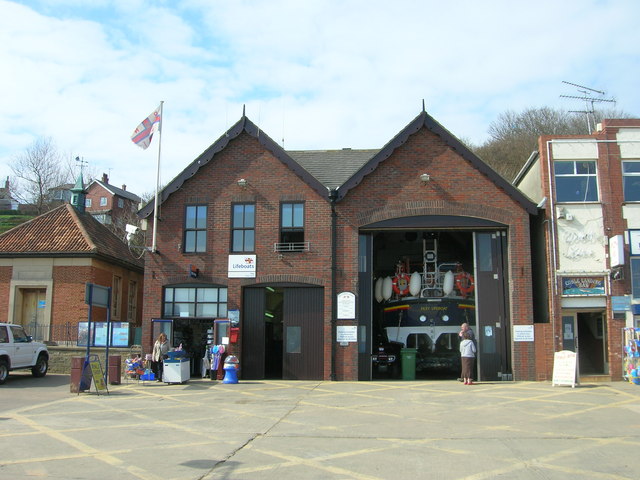
Filey Lifeboat Station
Filey Lifeboat Station is a Royal National Lifeboat Institution (RNLI) lifeboat station located in the town of Filey, North Yorkshire, England. It is one...
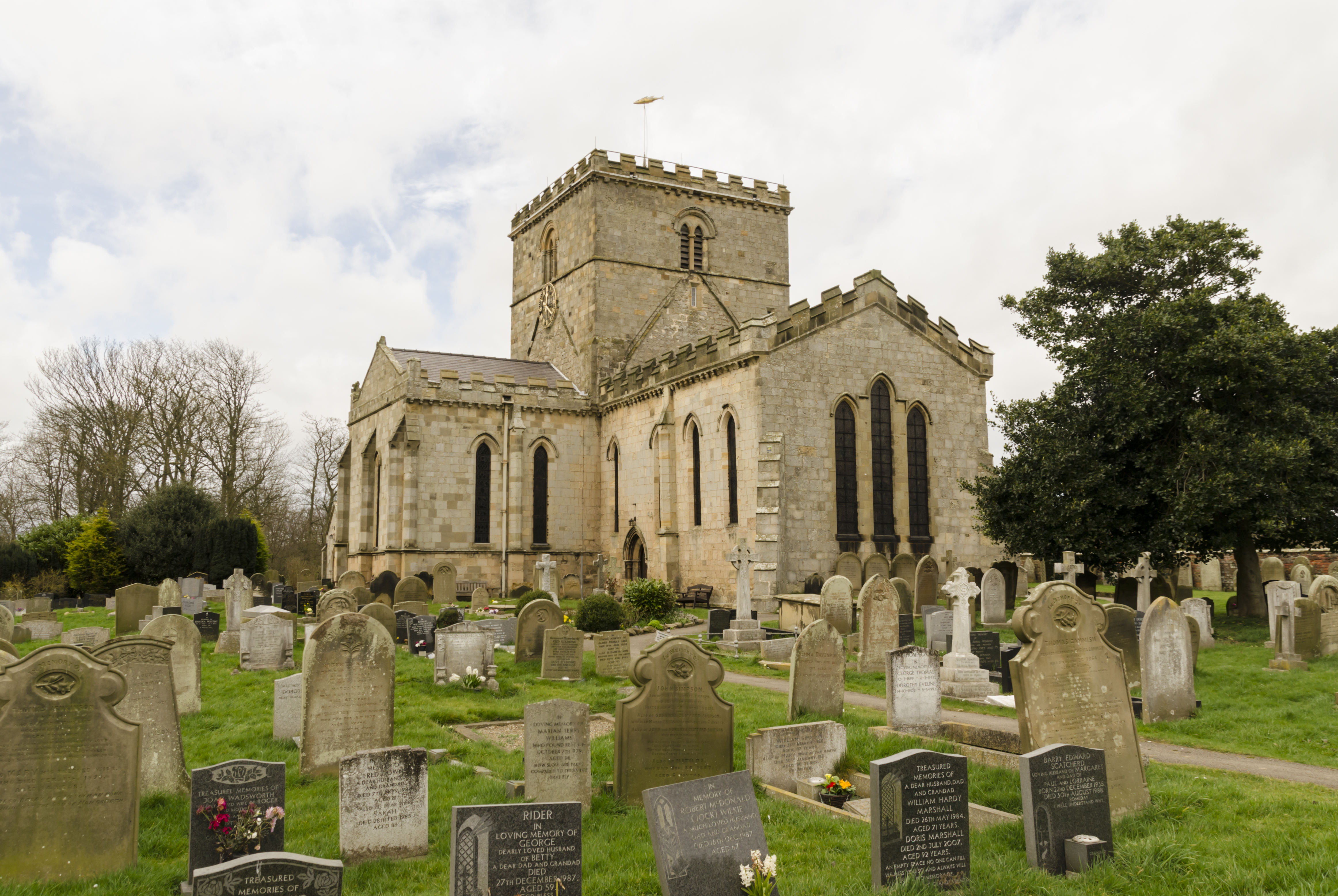
Church of St Oswald, Filey
The Church of St Oswald, Filey, is a parish church in the North Yorkshire town of Filey, England. The church dates from the 12th and 13th centuries, with...
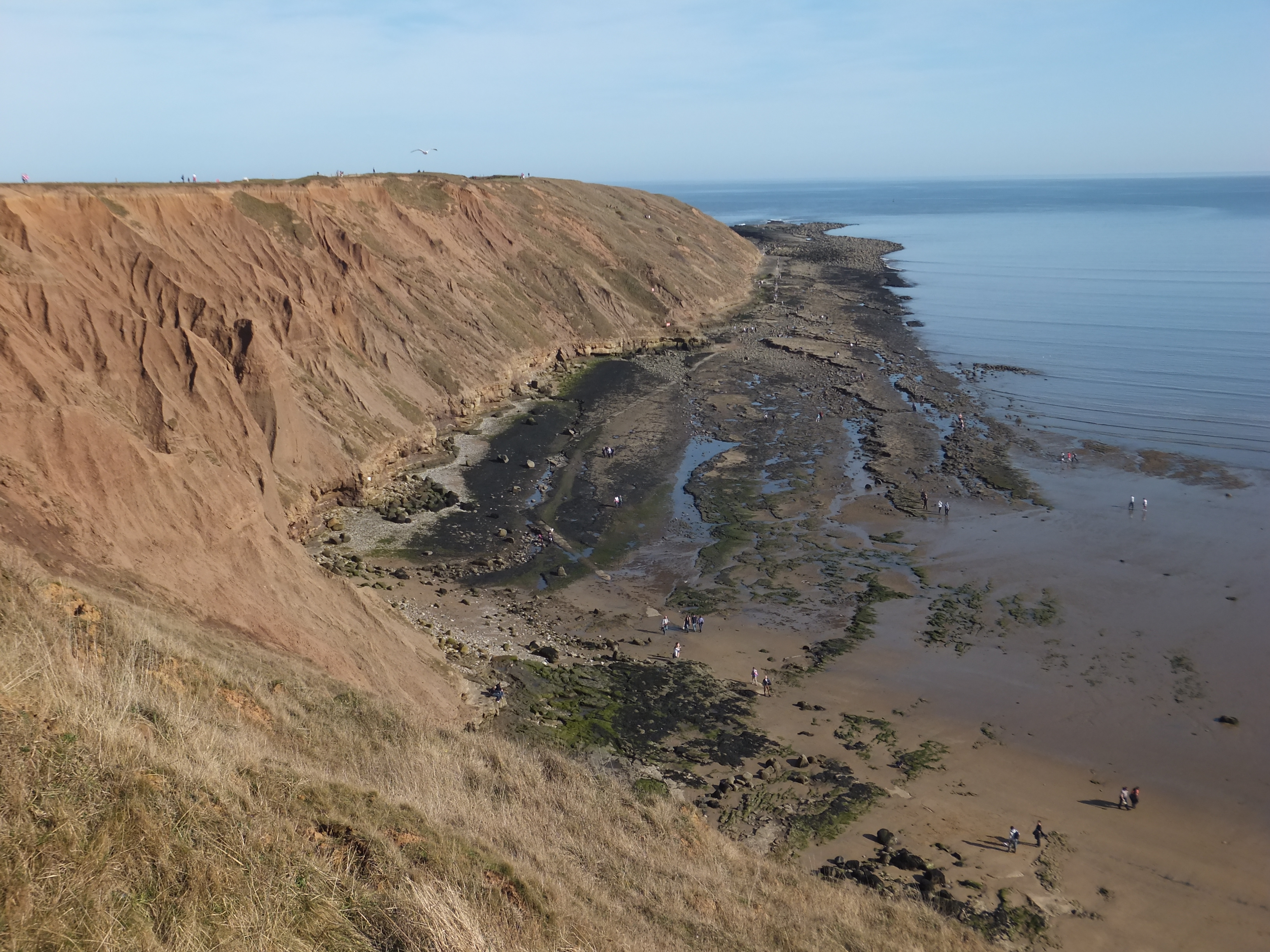
Filey Brigg
Filey Brigg is a long narrow peninsula situated about a mile north of Filey, North Yorkshire. Its steep cliffs are 20 metres high and consist of a variety...
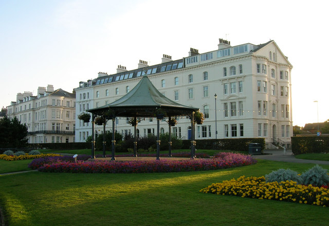
Filey
Filey () is a seaside town and civil parish in North Yorkshire, England. It is located between Scarborough and Bridlington on Filey Bay. Although it was...
Nearby Amenities
Located within 500m of 54.216579,-0.27105747Have you been to Sand Bink?
Leave your review of Sand Bink below (or comments, questions and feedback).