White Stones
Coastal Marsh, Saltings in Yorkshire Scarborough
England
White Stones

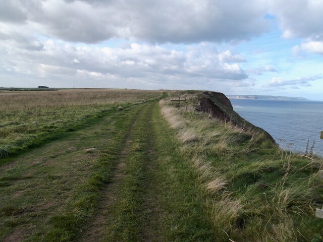
White Stones is a coastal marsh located in Yorkshire, England. Situated on the eastern coast, it is known for its unique landscape of saltings, which are areas of salt marshes and mudflats. The marsh is a designated Site of Special Scientific Interest due to its ecological importance.
Covering an area of approximately 50 hectares, White Stones is characterized by its salt-tolerant vegetation and diverse wildlife. The marsh is home to a variety of plant species, including samphire, sea lavender, and sea aster. These plants have adapted to the high salt content of the soil, creating a unique and vibrant ecosystem.
The marsh also serves as an important habitat for numerous bird species. It provides nesting grounds for birds like redshanks, oystercatchers, and ringed plovers. During migration seasons, White Stones attracts a plethora of wading birds, including dunlins, curlews, and sandpipers. These birds rely on the marsh as a vital feeding and resting spot during their long journeys.
White Stones offers breathtaking views of the North Sea, with its vast expanses of mudflats and tidal creeks. The ever-changing tides create a dynamic environment, where the marsh is either submerged or exposed, depending on the time of day. This tidal rhythm contributes to the marsh's ecological significance and adds to its beauty.
The area is a popular destination for nature enthusiasts, birdwatchers, and photographers who come to witness the stunning landscapes and observe the diverse wildlife. Visitors can explore the marsh through designated footpaths and enjoy the tranquility and serenity of this unique coastal environment.
If you have any feedback on the listing, please let us know in the comments section below.
White Stones Images
Images are sourced within 2km of 54.220881/-0.28024965 or Grid Reference TA1281. Thanks to Geograph Open Source API. All images are credited.


White Stones is located at Grid Ref: TA1281 (Lat: 54.220881, Lng: -0.28024965)
Division: North Riding
Administrative County: North Yorkshire
District: Scarborough
Police Authority: North Yorkshire
What 3 Words
///custodian.pint.lilac. Near Filey, North Yorkshire
Nearby Locations
Related Wikis
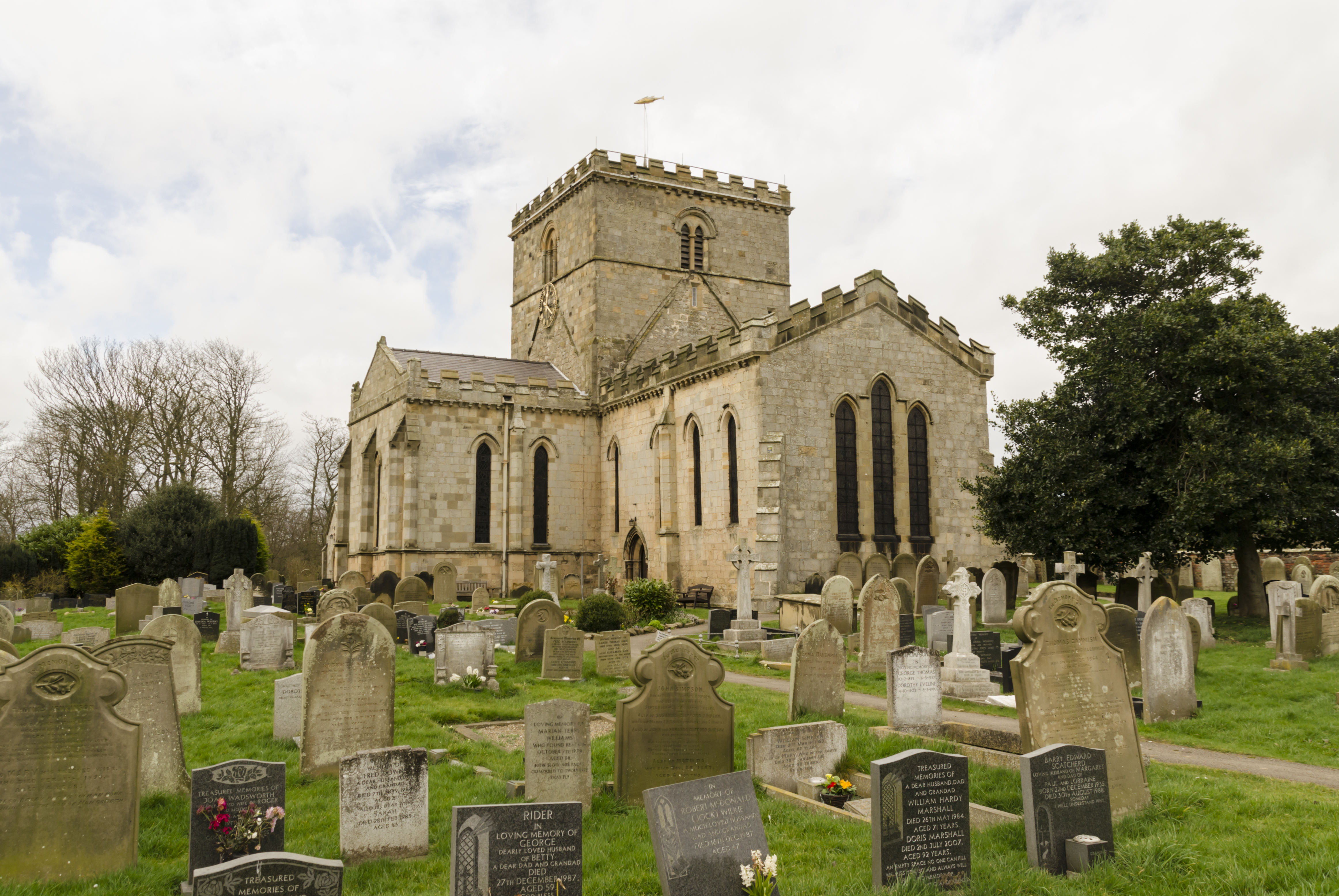
Church of St Oswald, Filey
The Church of St Oswald, Filey, is a parish church in the North Yorkshire town of Filey, England. The church dates from the 12th and 13th centuries, with...
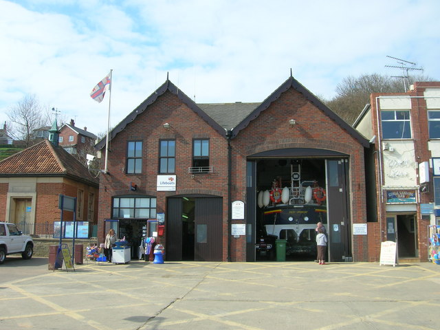
Filey Lifeboat Station
Filey Lifeboat Station is a Royal National Lifeboat Institution (RNLI) lifeboat station located in the town of Filey, North Yorkshire, England. It is one...
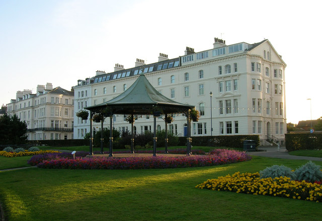
Filey
Filey () is a seaside town and civil parish in North Yorkshire, England. It is located between Scarborough and Bridlington on Filey Bay. Although it was...

Filey railway station
Filey railway station is a Grade II* listed station opened in 1846 on the Hull to Scarborough Line, which serves the seaside town of Filey in North Yorkshire...
Nearby Amenities
Located within 500m of 54.220881,-0.28024965Have you been to White Stones?
Leave your review of White Stones below (or comments, questions and feedback).