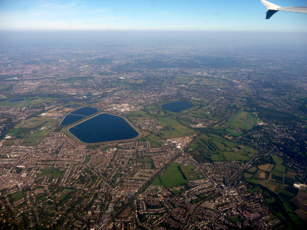
Stain Hill East Reservoir
Lake, Pool, Pond, Freshwater Marsh in Middlesex
England
Stain Hill East Reservoir
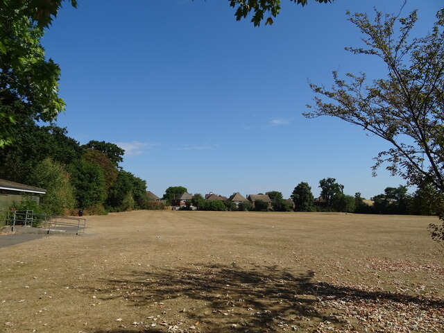
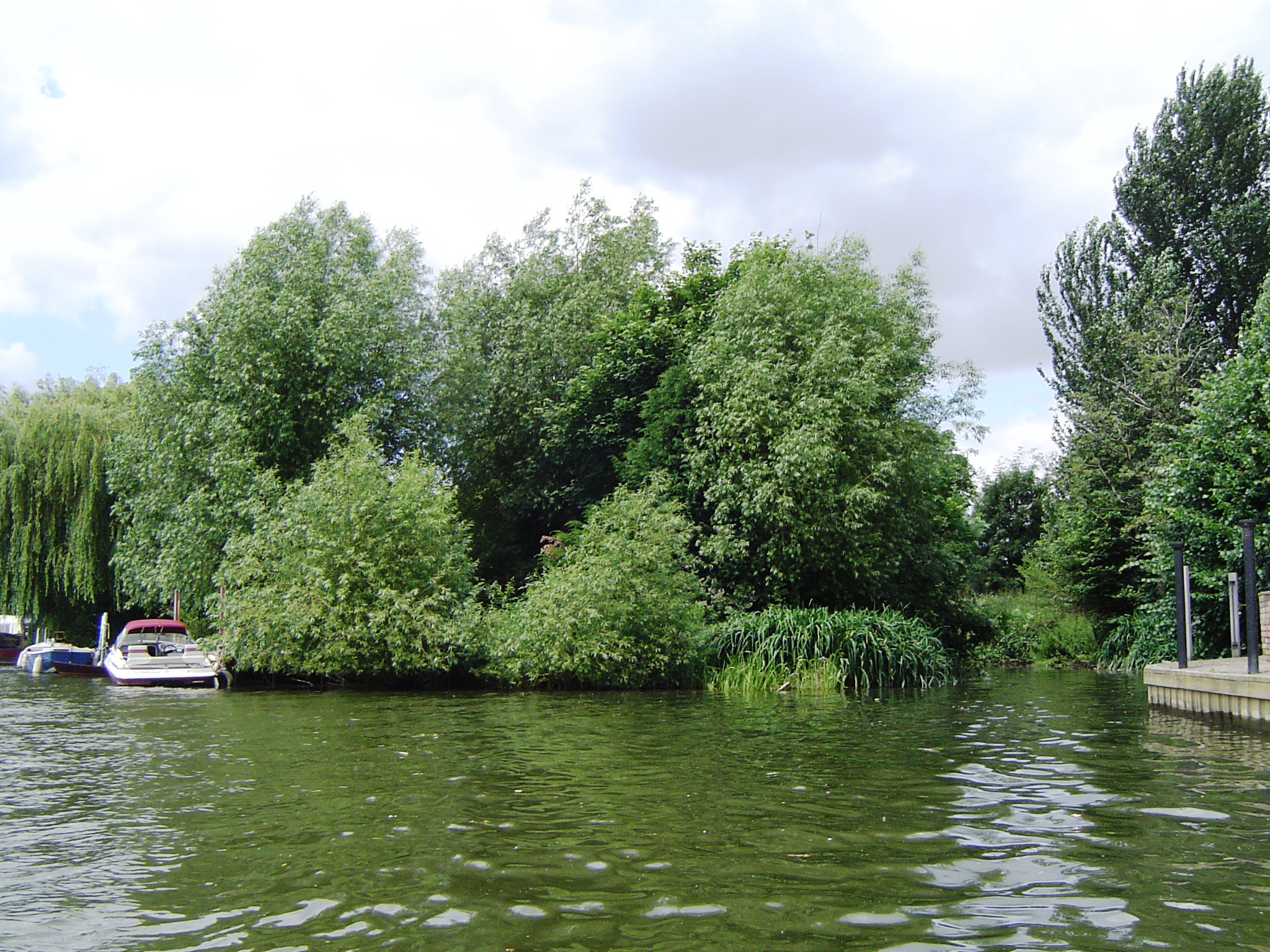
Stain Hill East Reservoir is a freshwater body located in Middlesex, England. It is categorized as a reservoir and serves as a crucial water source for the local community. The reservoir covers a significant area and is surrounded by scenic landscapes and natural beauty.
The water in Stain Hill East Reservoir is sourced from rainfall and surface runoff, making it a freshwater body. Its depth varies throughout the year, depending on the rainfall and water demand. The reservoir is typically well-maintained, with regular monitoring of water quality and levels.
The area around Stain Hill East Reservoir is diverse in terms of flora and fauna. The reservoir acts as a habitat for various aquatic species, including fish, water birds, and invertebrates. The surrounding vegetation consists of grasslands, reeds, and other wetland plants. This combination of habitats creates a thriving ecosystem, supporting a variety of wildlife.
Stain Hill East Reservoir also offers recreational opportunities for visitors. It is a popular spot for fishing enthusiasts, who can find a variety of fish species in its waters. Additionally, the reservoir attracts birdwatchers who can observe a range of water birds, such as ducks, geese, and herons.
Overall, Stain Hill East Reservoir is an important freshwater body in Middlesex, providing water for the local community while also offering a beautiful natural environment for recreational activities and wildlife observation.
If you have any feedback on the listing, please let us know in the comments section below.
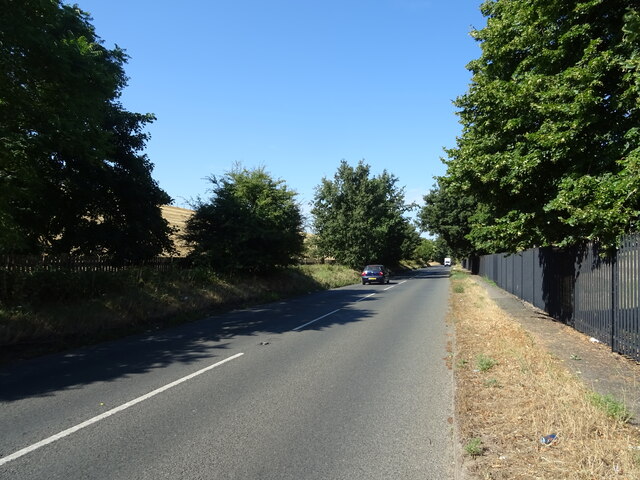
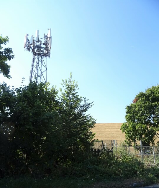
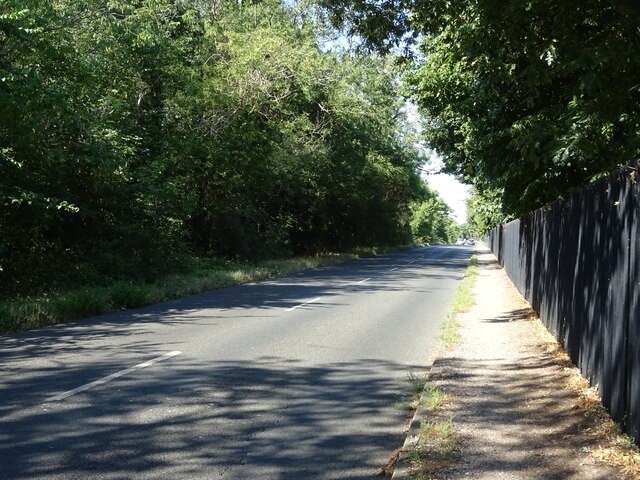
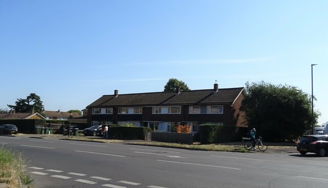
Stain Hill East Reservoir Images
Images are sourced within 2km of 51.412059/-0.38399042 or Grid Reference TQ1269. Thanks to Geograph Open Source API. All images are credited.

Stain Hill East Reservoir is located at Grid Ref: TQ1269 (Lat: 51.412059, Lng: -0.38399042)
Unitary Authority: Richmond upon Thames
Police Authority: Metropolitan
What 3 Words
///assure.tribal.noses. Near West Molesey, Surrey
Related Wikis
Stain Hill Reservoirs
The Stain Hill Reservoirs in London, England with embankments occupy 0.175 square kilometres (43 acres). They are a pair which sit high between others...

Sunnyside Reservoir
Sunnyside Reservoir is a reservoir forming part of the Hampton waterworks complex within the London borough of Richmond-upon-Thames. == History == The...
Grand Junction Isle
Grand Junction Isle is a small island in the River Thames on the reach above Molesey Lock at Sunbury-on-Thames, Surrey, England. It is just downstream...
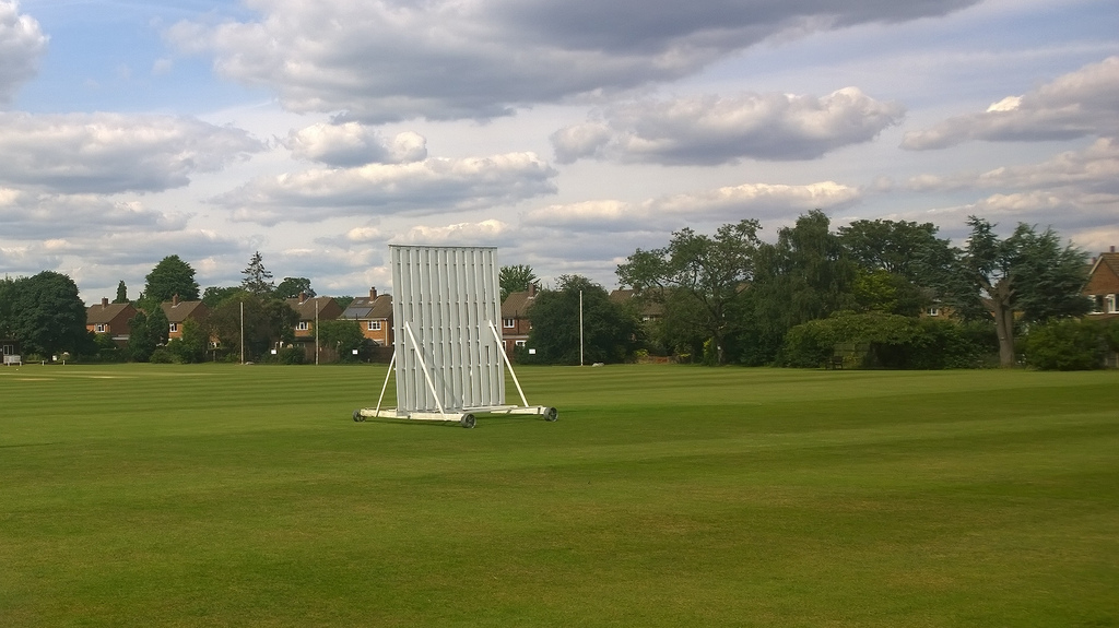
Kenton Court Meadow
Kenton Court Meadow is a cricket ground in Sunbury-on-Thames, Surrey (formerly Middlesex). First established in 1957, the first recorded match on the...
Nearby Amenities
Located within 500m of 51.412059,-0.38399042Have you been to Stain Hill East Reservoir?
Leave your review of Stain Hill East Reservoir below (or comments, questions and feedback).