Sunnyside Reservoir

Lake, Pool, Pond, Freshwater Marsh in Middlesex

England

Sunnyside Reservoir

Sunbury Lock
Sunbury Lock Credit: Alex McGregor

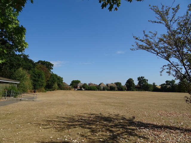
Sunnyside Reservoir, located in Middlesex, is a freshwater marsh that serves as an essential habitat for a diverse range of flora and fauna. Covering an area of approximately 50 acres, this reservoir plays a crucial role in maintaining the ecological balance of the surrounding region.

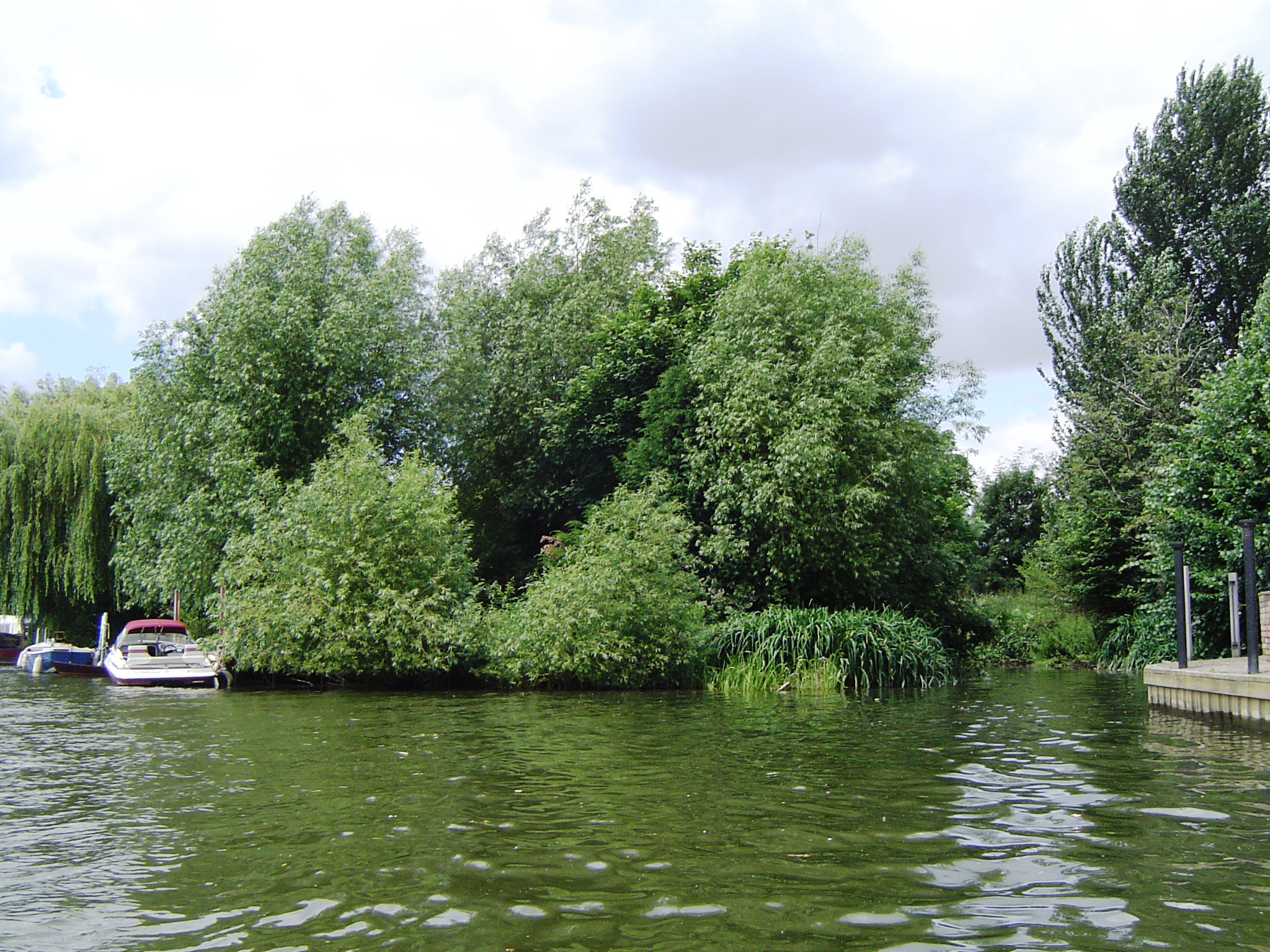
The reservoir is primarily fed by rainfall and runoff from nearby hills, ensuring a constant supply of fresh water throughout the year. It is bordered by dense vegetation, including cattails, bulrushes, and water lilies, which provide an ideal breeding ground for various waterfowl and aquatic plants.

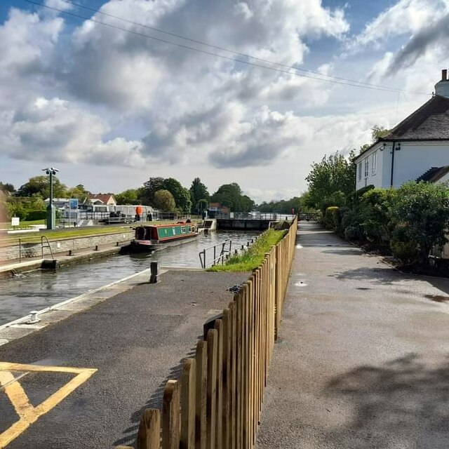
The calm and serene waters of Sunnyside Reservoir are home to an array of aquatic species. Fish such as bass, trout, and catfish thrive in its depths, attracting fishing enthusiasts from the local community. Additionally, the reservoir supports a vibrant bird population, with species like herons, ducks, and geese frequently spotted in and around the marsh.

The reservoir is an important recreational spot, with several walking trails and picnic areas that offer visitors a chance to immerse themselves in nature's beauty. Birdwatching and fishing are popular activities, providing a tranquil escape from the hustle and bustle of city life.

Sunnyside Reservoir also plays a crucial role in the regulation of water levels and flood control in the area. Its marshy landscape acts as a natural sponge, absorbing excess water during heavy rainfall and preventing flooding in nearby neighborhoods.

Overall, Sunnyside Reservoir is a vital ecological and recreational resource in Middlesex. Its abundant wildlife and scenic surroundings make it a cherished destination for nature lovers, while its role in water management ensures the well-being of the local community.

If you have any feedback on the listing, please let us know in the comments section below.

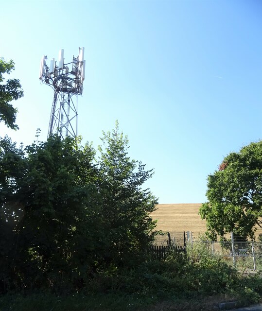
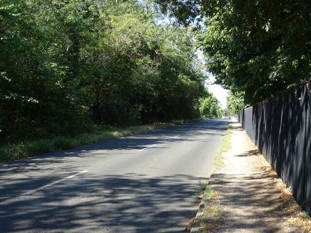
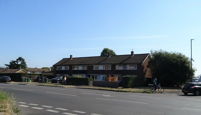
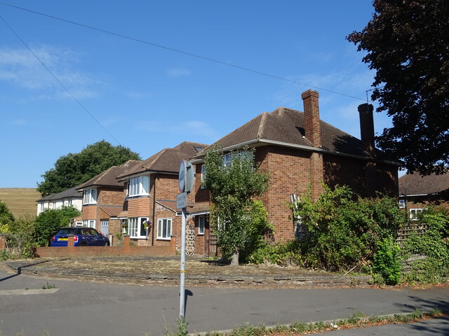
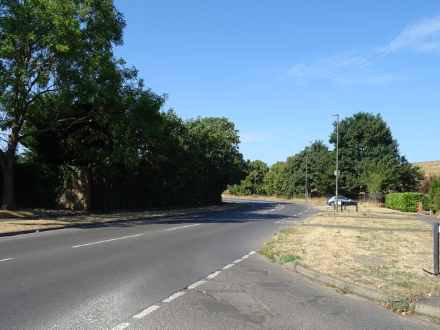
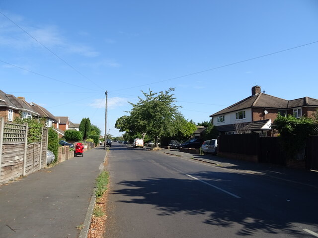
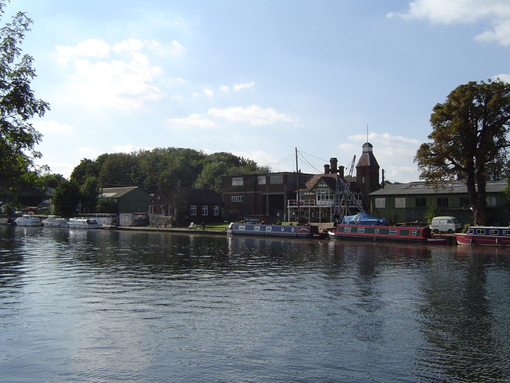
Sunnyside Reservoir Images

Images are sourced within 2km of 51.409079/-0.38113344 or Grid Reference TQ1269. Thanks to Geograph Open Source API. All images are credited.

Sunbury Lock
Sunbury Lock
Old Milestone A308, Hampton Court Road Carved stone post by the A308, in parish of TEDDINGTON AND HAMPTON (RICHMOND UPON THAMES District), Hampton Court Road, Hampton, opposite Western end of Taggs Island; opposite Boat House, East of St Alban's Lodge, in park, on South side of road. Erected by the Staines & Hampton turnpike trust in the 19th century. Eastern face see <a href="https://www.geograph.org.uk/photo/6060937">TQ1469 : Old Milestone by the A308, Hampton Court Road, Hampton</a>

Inscription reads:-
HAMPTON / COURT / BRIDGE / VI / FURLONGS / KINGSTON / BRIDGE / II / MILES //
HAMPTON / PARISH // 
SUNBURY / II / MILES / STAINES / VII / MILES / WINDSOR / XIII / MILES

Rivet benchmark on top representing 11.3 m ASL.

Grade II Listed see <span class="nowrap"><a title="https://historicengland.org.uk/listing/the-list/list-entry/1065454" rel="nofollow ugc noopener" href="https://historicengland.org.uk/listing/the-list/list-entry/1065454">Link</a><img style="margin-left:2px;" alt="External link" title="External link - shift click to open in new window" src="https://s1.geograph.org.uk/img/external.png" width="10" height="10"/></span>

Milestone Society National ID: MX_STHP07
Old Milestone A308, Hampton Court Road
Carved stone post by the A308, in parish of TEDDINGTON AND HAMPTON (RICHMOND UPON THAMES District), Hampton Court Road, Hampton, opposite Western end of Taggs Island; opposite Boat House, East of St Alban's Lodge, in park, on South side of road. Erected by the Staines & Hampton turnpike trust in the 19th century. Eastern face see TQ1469 : Old Milestone by the A308, Hampton Court Road, Hampton Inscription reads:- HAMPTON / COURT / BRIDGE / VI / FURLONGS / KINGSTON / BRIDGE / II / MILES // HAMPTON / PARISH // SUNBURY / II / MILES / STAINES / VII / MILES / WINDSOR / XIII / MILES Rivet benchmark on top representing 11.3 m ASL. Grade II Listed see LinkExternal link Milestone Society National ID: MX_STHP07
Houses on Terrace Road
Walton Road (B369) Beside Knight Reservoir.
Walton Road (B369)
Beside Knight Reservoir.
Communications mast and reservoir bank
Walton Road (B369) Beside Bessborough Reservoir.
Walton Road (B369)
Beside Bessborough Reservoir.
Houses on Walton Road
Walton Road (B369)
Walton Road (B369)
Weston Avenue, Molesey
The Royal Oak, Molesey On Walton Road.
The Royal Oak, Molesey
On Walton Road.
Sign for the Royal Oak, Molesey See <a href="https://www.geograph.org.uk/photo/7257540">TQ1368 : The Royal Oak, Molesey</a> for context.
Sign for the Royal Oak, Molesey
Shops on Walton Road, West Molesey
St Peter's Church, West Molesey
Royal Mail Delivery Office, West Molesey
Parched playing field, West Molesey
Sainsbury's Local on Walton Road, West Molesey
The Europa, Molesey On Walton Road.
See <a href="https://www.geograph.org.uk/photo/7257631">TQ1468 : Sign for the Europa, Molesey</a> for sign.
The Europa, Molesey
On Walton Road. See TQ1468 : Sign for the Europa, Molesey for sign.
Show me another place!

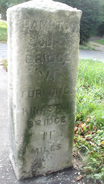
Sunnyside Reservoir is located at Grid Ref: TQ1269 (Lat: 51.409079, Lng: -0.38113344)

Unitary Authority: Richmond upon Thames

Police Authority: Metropolitan

What 3 Words

///blocks.aims.energy. Near West Molesey, Surrey

Related Wikis

Sunnyside Reservoir

Sunnyside Reservoir is a reservoir forming part of the Hampton waterworks complex within the London borough of Richmond-upon-Thames. == History == The...

Stain Hill Reservoirs

The Stain Hill Reservoirs in London, England with embankments occupy 0.175 square kilometres (43 acres). They are a pair which sit high between others...

Lady Eleanor Holles School Boat Club

Lady Eleanor Holles Boat Club is a rowing club on the River Thames, based at the Millennium Boat House, Lower Sunbury Road, Hampton, London. The club belongs...

Hampton School Boat Club

Hampton School Boat Club (HSBC) is the rowing club of Hampton School. Each year the club produces 1st VIIIs that compete at Championship level in the United...

Grand Junction Isle

Grand Junction Isle is a small island in the River Thames on the reach above Molesey Lock at Sunbury-on-Thames, Surrey, England. It is just downstream...

Molesey Reservoirs

The Molesey Reservoirs were a group of reservoirs in England near Molesey, Surrey, in the western suburbs of London. There was an adjacent water treatment...

Platt's Eyot

Platt's Eyot or Platt's Ait is an island on the River Thames at Hampton, in the London Borough of Richmond upon Thames, England, on the reach between Molesey...
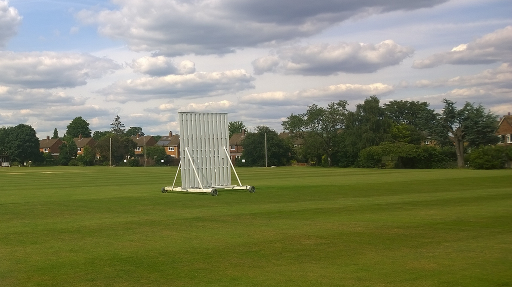
Kenton Court Meadow

Kenton Court Meadow is a cricket ground in Sunbury-on-Thames, Surrey (formerly Middlesex). First established in 1957, the first recorded match on the...
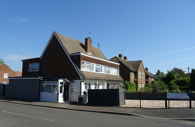
Nearby Amenities

Located within 500m of 51.409079,-0.38113344
Traffic Calming: island
Lat/Long: 51.4050813/-0.3814654
Noexit: yes
Lat/Long: 51.4047122/-0.3815348
Crossing
Crossing: uncontrolled
Crossing Island: yes
Kerb: lowered
Tactile Paving: no
Lat/Long: 51.4057315/-0.3765982
Barrier: bollard
Bicycle: yes
Foot: yes
Height: 1
Motor Vehicle: no
Lat/Long: 51.4100911/-0.3819867
Crossing
Crossing: uncontrolled
Crossing Island: no
Kerb: lowered
Tactile Paving: yes
Lat/Long: 51.4052448/-0.3790216
Crossing
Crossing: uncontrolled
Crossing Island: no
Kerb: lowered
Tactile Paving: yes
Lat/Long: 51.4053534/-0.3782805
Barrier: cycle_barrier
Cycle Barrier: double
Cycle Barrier Installation: fixed
Lat/Long: 51.4052496/-0.3787948
Crossing
Crossing: uncontrolled
Crossing Island: no
Kerb: lowered
Tactile Paving: yes
Lat/Long: 51.4051512/-0.3800811
Noexit: yes
Lat/Long: 51.4049718/-0.3809738
Crossing
Crossing: uncontrolled
Crossing Island: yes
Kerb: lowered
Tactile Paving: yes
Lat/Long: 51.4049819/-0.3817065
Crossing
Crossing: uncontrolled
Crossing Island: no
Kerb: lowered
Tactile Paving: yes
Lat/Long: 51.4055349/-0.3772668
The data included in this document is from www.openstreetmap.org. The data is made available under ODbL.

Have you been to Sunnyside Reservoir?

Leave your review of Sunnyside Reservoir below (or comments, questions and feedback).