Spring Pond

Lake, Pool, Pond, Freshwater Marsh in Surrey Elmbridge

England

Spring Pond

Oxshott railway station  Oxshott railway station entrance seen from the car park. The station opened in 1885 and is operated and served by South Western Railway.
Oxshott railway station Credit: Daniel Parks

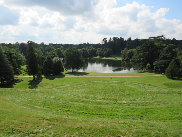
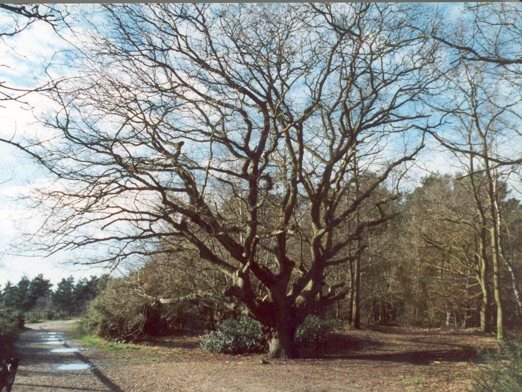
Spring Pond is a picturesque body of water located in the county of Surrey, England. As the name suggests, it is a natural pond that is fed by springs, resulting in crystal-clear freshwater. The pond is situated in a serene and idyllic setting, surrounded by lush greenery and diverse wildlife.

Covering an area of approximately 2 acres, Spring Pond is relatively small in size, but its beauty and ecological significance make it a popular destination for both locals and tourists. The pond serves as a vital habitat for numerous species of aquatic plants and animals, contributing to its overall biodiversity.

The water in Spring Pond is exceptionally clean and well-oxygenated, thanks to the continuous flow of fresh spring water. This creates an ideal environment for a variety of fish species, such as common carp, roach, and perch, which can be observed swimming gracefully beneath the surface.

In addition to its clear waters, Spring Pond also boasts a vibrant freshwater marsh on its fringes. This marshland is characterized by a rich growth of reeds, sedges, and other wetland vegetation, providing a habitat for a diverse range of bird species, including ducks, herons, and swans.

Visitors to Spring Pond can enjoy a tranquil and relaxing atmosphere, perfect for nature walks, picnics, and birdwatching. The pond is easily accessible, with nearby parking facilities and well-maintained footpaths. It is a haven for both nature enthusiasts and those seeking a peaceful escape from the hustle and bustle of city life.

If you have any feedback on the listing, please let us know in the comments section below.

Spring Pond Images

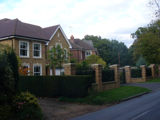
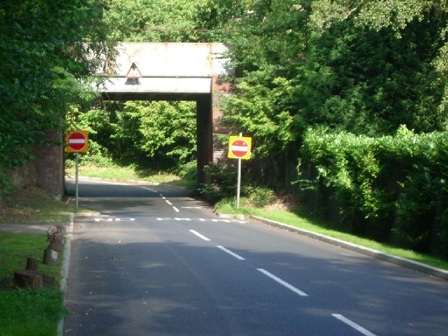
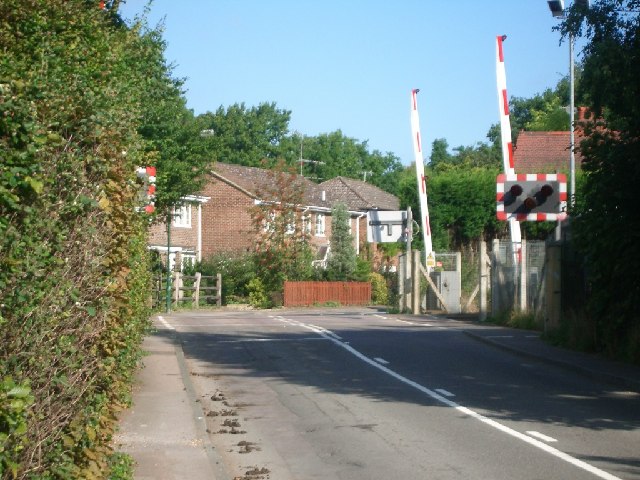
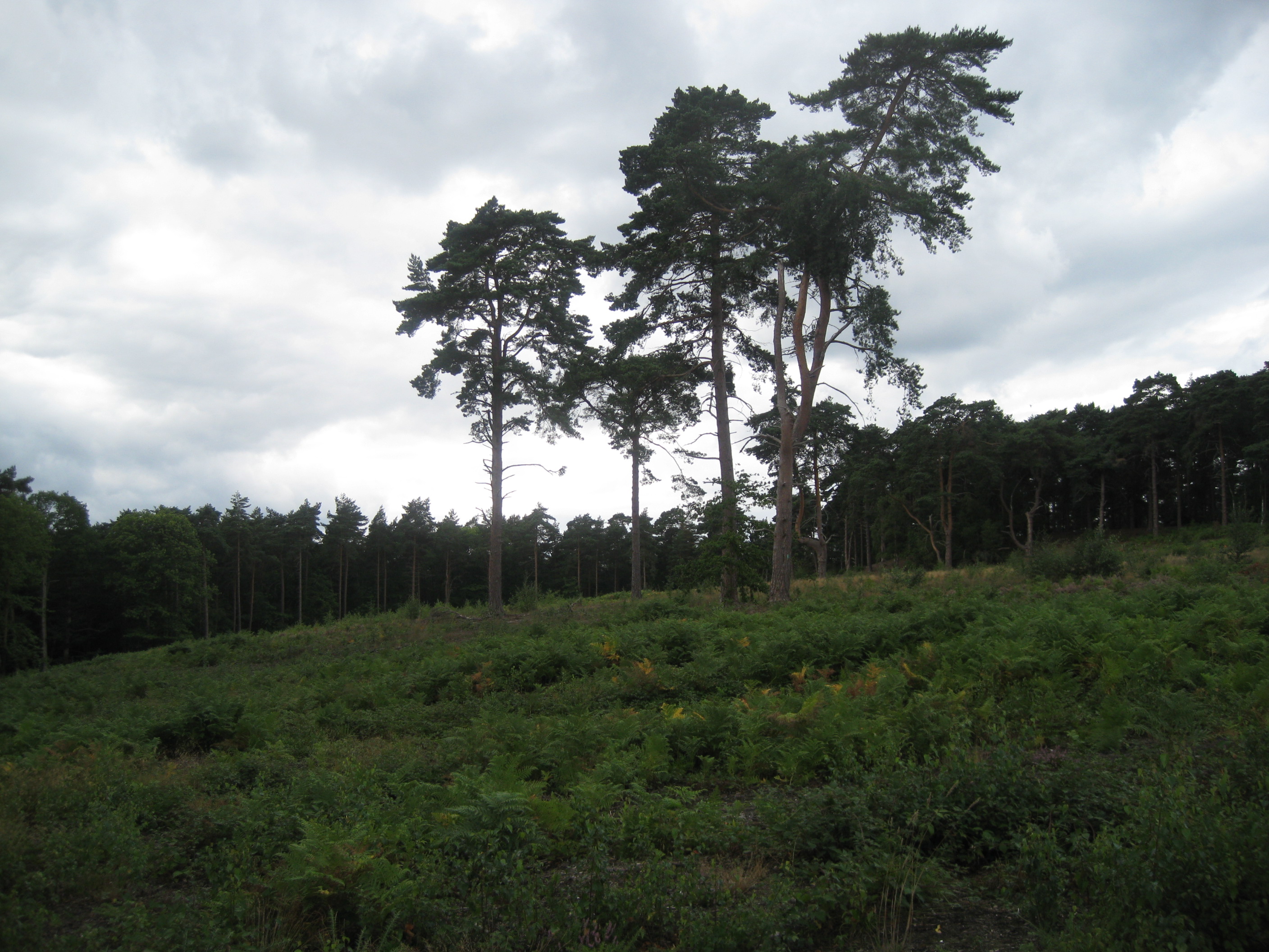
Images are sourced within 2km of 51.341264/-0.38286327 or Grid Reference TQ1261. Thanks to Geograph Open Source API. All images are credited.

Oxshott railway station  Oxshott railway station entrance seen from the car park. The station opened in 1885 and is operated and served by South Western Railway.
Oxshott railway station
Oxshott railway station entrance seen from the car park. The station opened in 1885 and is operated and served by South Western Railway.
Claremont Landscape Gardens A view across the lake - sadly too early to catch the autumn colour. Claremont Landscape Gardens were originally created for Claremont House and represents the work of some of the best known landscape gardeners, such as Charles Bridgeman, Capability Brown, William Kent and Sir John Vanbrugh. Work on the gardens began around 1715 making it one of the earliest surviving gardens of its kind of landscape design still featuring its original 18th-century layout.
Claremont Landscape Gardens
A view across the lake - sadly too early to catch the autumn colour. Claremont Landscape Gardens were originally created for Claremont House and represents the work of some of the best known landscape gardeners, such as Charles Bridgeman, Capability Brown, William Kent and Sir John Vanbrugh. Work on the gardens began around 1715 making it one of the earliest surviving gardens of its kind of landscape design still featuring its original 18th-century layout.
The Amphitheatre, Claremont This unusual turfed amphitheatre is set within the grounds of Claremont Landscape Gardens, overlooking the lake. It used to form the centrepiece of an annual event called the Claremont Fête champêtre. Hundreds of visitors descended on Claremont, most in costume (each year has a different theme) to enjoy four days of music, theatre and fireworks.
The Amphitheatre, Claremont
This unusual turfed amphitheatre is set within the grounds of Claremont Landscape Gardens, overlooking the lake. It used to form the centrepiece of an annual event called the Claremont Fête champêtre. Hundreds of visitors descended on Claremont, most in costume (each year has a different theme) to enjoy four days of music, theatre and fireworks.
Thatched Cottage, Claremont The single roomed Thatched Cottage at Claremont Landscape Gardens dates from the Victorian Era.
Thatched Cottage, Claremont
The single roomed Thatched Cottage at Claremont Landscape Gardens dates from the Victorian Era.
Claremont Landscape Garden The gardens were originally created by the Duke of Newcastle but were made famous by Prince Leopold and his wife, Princess Charlotte, who loved the park. 

The three-acre grass amphitheatre on the far side of the lake dates from 1725 to a design of Charles Bridgeman (later Royal Gardener and designer of the Round Pond in Kensington Gardens). 

The gardens are now owned by the National Trust.
Claremont Landscape Garden
The gardens were originally created by the Duke of Newcastle but were made famous by Prince Leopold and his wife, Princess Charlotte, who loved the park. The three-acre grass amphitheatre on the far side of the lake dates from 1725 to a design of Charles Bridgeman (later Royal Gardener and designer of the Round Pond in Kensington Gardens). The gardens are now owned by the National Trust.
Claremont Landscape Garden Looking across the ornamental lake at the National Trust-owned garden.
Claremont Landscape Garden
Looking across the ornamental lake at the National Trust-owned garden.
Small Lodge At the corner of Miles Lane and Fairmile Park Road.
Small Lodge
At the corner of Miles Lane and Fairmile Park Road.
Old Milestone by A307 (was A3), just East of junction with Fairmile lane The Milestone is located by the road.  Parish of Fairmile (Elmsbridge District). Carved stone post, Guildford facets design, erected by the Kingston & Sheetbridge, 1st District turnpike trust in the 19th Century. 

Inscription reads:-  
Hyde Park Corner / 16  : : Cobham / ?  : : Esher / 2 : : 53 / Portsmouth

Milestone Society National ID: SY_LP16
Old Milestone by A307 (was A3), just East of junction with Fairmile lane
The Milestone is located by the road.  Parish of Fairmile (Elmsbridge District). Carved stone post, Guildford facets design, erected by the Kingston & Sheetbridge, 1st District turnpike trust in the 19th Century.  Inscription reads:- Hyde Park Corner / 16 : : Cobham / ? : : Esher / 2 : : 53 / Portsmouth Milestone Society National ID: SY_LP16
Mini-roundabout in Fairmile Lane looking south-west from Water Lane
Mini-roundabout in Fairmile Lane
looking south-west from Water Lane
Footpath to Oxshott Good going on the clay path towards Blundel Lane. The hedgerow has been recently trimmed.
Footpath to Oxshott
Good going on the clay path towards Blundel Lane. The hedgerow has been recently trimmed.
New Gated Development, Cobham For sale in late 2010, another large and gated mansion in the exclusive water Lane area of Cobham. Very handy for the nearby Chelsea FC training ground!
New Gated Development, Cobham
For sale in late 2010, another large and gated mansion in the exclusive water Lane area of Cobham. Very handy for the nearby Chelsea FC training ground!
Knowle Hill Park Lodge Lodge at the entrance to the extensive grounds of Knowle Hill Park, Cobham.
Knowle Hill Park Lodge
Lodge at the entrance to the extensive grounds of Knowle Hill Park, Cobham.
Recent Development on Water Lane More gated housing in this exclusive residential area of Cobham - prime commuter land.
Recent Development on Water Lane
More gated housing in this exclusive residential area of Cobham - prime commuter land.
Water Lane, Cobham Leafy road, lined with very upmarket and detached homes - ideal for rich commuters and rich retired commuters too.
Water Lane, Cobham
Leafy road, lined with very upmarket and detached homes - ideal for rich commuters and rich retired commuters too.
Railway bridge over Heath Road Looking north-west.
Railway bridge over Heath Road
Looking north-west.
Oxshott railway station
Level crossing at Blundel Lane Looking north.
Level crossing at Blundel Lane
Looking north.
Water Lane looking south-west
Water Lane
looking south-west
Show me another place!

Spring Pond is located at Grid Ref: TQ1261 (Lat: 51.341264, Lng: -0.38286327)

Administrative County: Surrey

District: Elmbridge

Police Authority: Surrey

What 3 Words

///onions.crop.damage. Near Cobham, Surrey

Related Wikis

Reed's School

Reed's School is an independent secondary boarding school for boys with a mixed sixth form located in Cobham, Surrey, England. There are currently around...

The Homewood

The Homewood is a modernist house in Esher, Surrey, England. Designed by architect Patrick Gwynne for his parents, The Homewood was given by Gwynne to...

Oxshott Heath and Woods

Oxshott Heath and Woods is an area of woods and heathland in Oxshott, Surrey, England covering approximately 200 acres (81 ha), as an area of common land...

Esher and Walton (UK Parliament constituency)

Esher and Walton () is a constituency in Surrey represented in the House of Commons of the UK Parliament. Since 2010, it has been represented by Dominic...

Esher (UK Parliament constituency)

Esher was a borough constituency represented in the House of Commons of the Parliament of the United Kingdom. It elected one Member of Parliament (MP)...

Esher Commons

Esher Commons is a 360.1-hectare (890-acre) biological Site of Special Scientific Interest south-west of Esher in Surrey. It includes Esher Common, Fairmile...

ACS International Schools

ACS International Schools is a group of four independent schools catering for local and international families - three in England and one in Qatar. Until...

West End Common

West End Common is a 70.3-hectare (174-acre) Local Nature Reserve on the north-western outskirts of Esher in Surrey. It is owned and managed by Elmbridge...

Nearby Amenities

Located within 500m of 51.341264,-0.38286327
Post Box
Collection Times: Mo-Fr 16:30; Sa 11:30
Operator: Royal Mail
Post Box Type: pillar
Ref: KT11 143
Royal Cypher: EIIR
Royal Cypher Wikidata: Q33102113
Lat/Long: 51.3373074/-0.3854572
Bench
Lat/Long: 51.3417644/-0.3856377
Bench
Lat/Long: 51.3431686/-0.3829877
Post Box
Collection Times: Mo-Fr 09:00; Sa 07:00
Operator: Royal Mail
Post Box Type: pillar
Ref: KT11 125D
Royal Cypher: GVIR
Royal Cypher Wikidata: Q33102169
Lat/Long: 51.3404482/-0.3813746
The data included in this document is from www.openstreetmap.org. The data is made available under ODbL.

Have you been to Spring Pond?

Leave your review of Spring Pond below (or comments, questions and feedback).