Fosse Hill Pond

Lake, Pool, Pond, Freshwater Marsh in Yorkshire

England

Fosse Hill Pond

Road junction at The Partings
Road junction at The Partings Credit: David Brown

Fosse Hill Pond, located in Yorkshire, is a picturesque body of water that can be classified as both a pond and a freshwater marsh. Spanning across a relatively small area, it is a natural habitat for various aquatic plants and wildlife, providing a serene and tranquil environment for visitors.

The pond is surrounded by lush greenery, adding to its natural beauty. The water is crystal clear, reflecting the surrounding landscape, and is fed by natural springs, ensuring a constant flow of freshwater. The depth of the pond varies, with some areas being shallow and others reaching a moderate depth.

Fosse Hill Pond is home to a diverse range of plant species, including water lilies, reeds, and cattails, which thrive in the marshy areas. These plants provide important habitats for numerous insects, amphibians, and birds. Birdwatchers can spot a variety of species, such as mallards, coots, herons, and occasionally even kingfishers, making it an ideal spot for nature enthusiasts.

The pond also serves as a popular fishing destination, attracting anglers who seek a peaceful location to cast their lines. Common fish species found in the pond include perch, roach, and carp, providing ample opportunities for recreational fishing.

Visitors can explore the pond's surroundings through well-maintained footpaths, allowing for leisurely walks and wildlife observation. The tranquil atmosphere and natural beauty of Fosse Hill Pond make it an ideal spot for nature lovers, photographers, and those seeking a peaceful escape from the bustling city life.

If you have any feedback on the listing, please let us know in the comments section below.

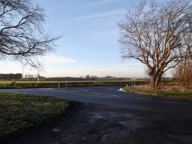
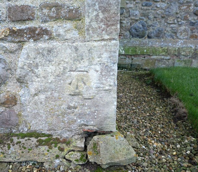
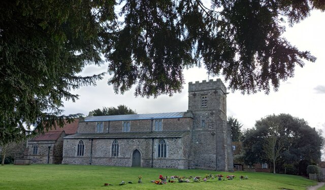
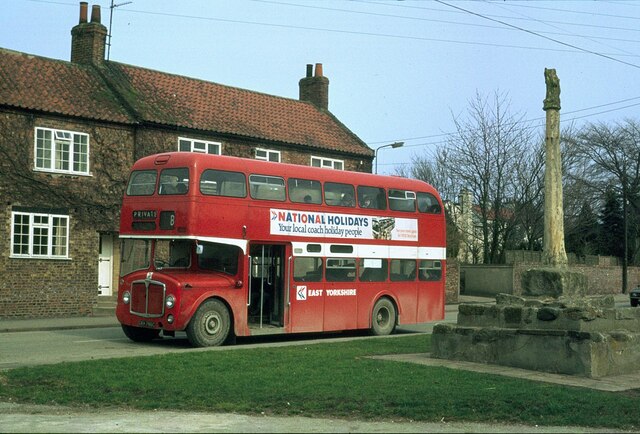
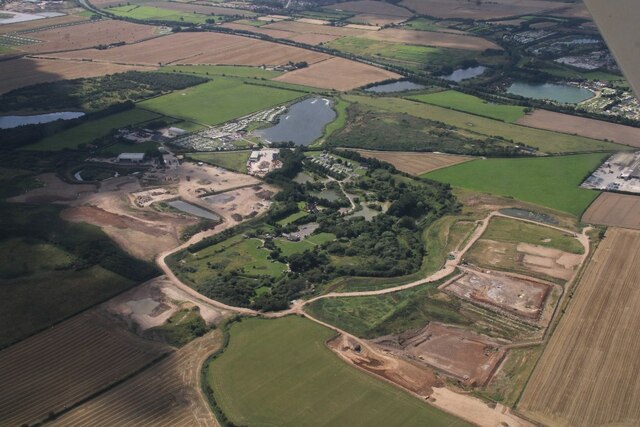
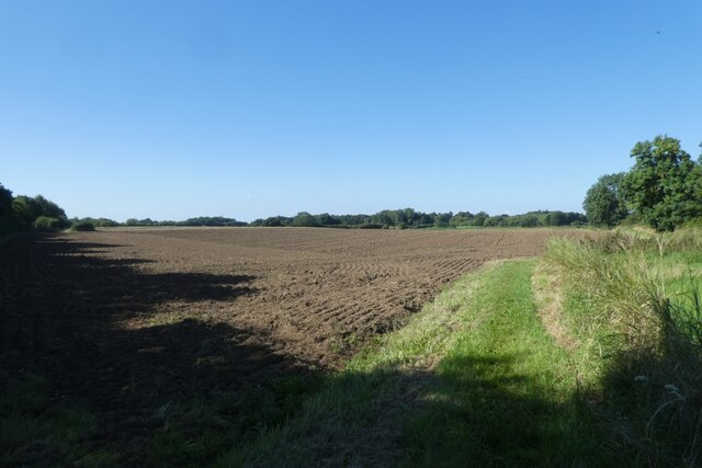
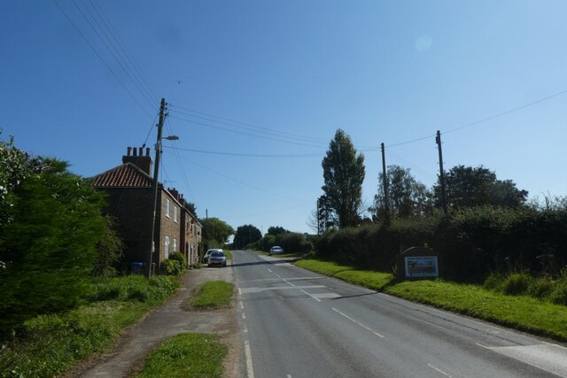
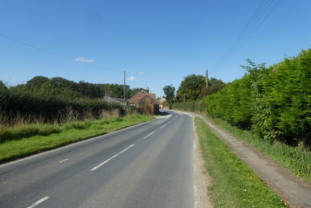
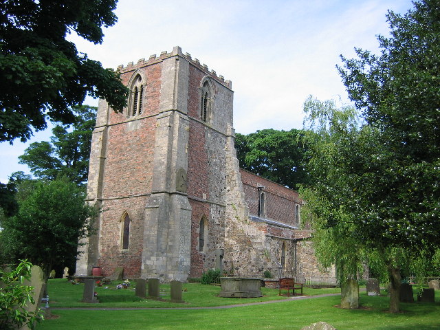
Fosse Hill Pond Images

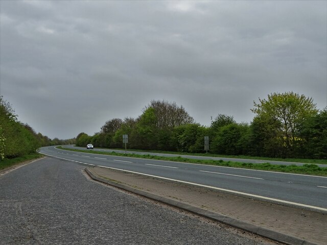
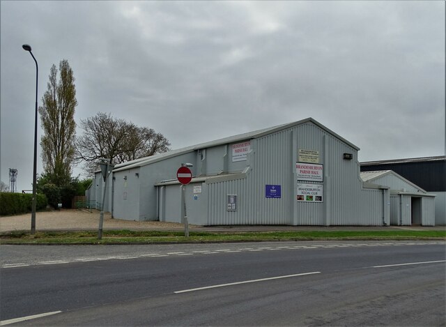
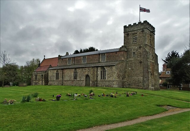
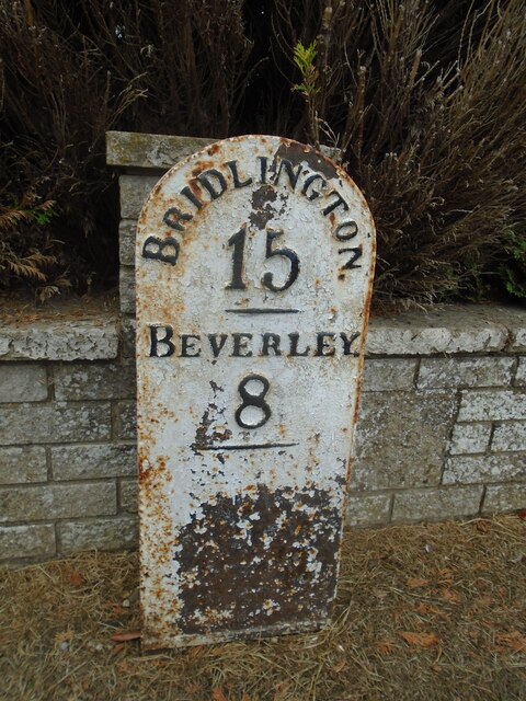
Images are sourced within 2km of 53.902963/-0.28703314 or Grid Reference TA1246. Thanks to Geograph Open Source API. All images are credited.

Road junction at The Partings
Brandesburton, St Mary's church The benchmark is cut into the north face of the church.
Brandesburton, St Mary's church
The benchmark is cut into the north face of the church.
Brandesburton, St Mary's church There is a benchmark cut into the north face of the church.
Brandesburton, St Mary's church
There is a benchmark cut into the north face of the church.
By the cross at Brandesburton – 1979 This was on an enthusiast tour, but was recreating the sort of scene, with this type of vehicle, which was shortly to disappear. It is East Yorkshire 786, an AEC Renown with Park Royal bodywork, new in 1965, withdrawal being the result of conversion of services to one-person operation.

This is one of a series of views featuring buses in the 60s, 70s, and 80s. <a title="https://www.geograph.org.uk/search.php?i=137652761" href="https://www.geograph.org.uk/search.php?i=137652761">Link</a> .

The cross probably dates from the 14th century, and was a market cross rather than a wayside or preaching cross. It is Listed Grade II and is also a Scheduled Monument.
By the cross at Brandesburton – 1979
This was on an enthusiast tour, but was recreating the sort of scene, with this type of vehicle, which was shortly to disappear. It is East Yorkshire 786, an AEC Renown with Park Royal bodywork, new in 1965, withdrawal being the result of conversion of services to one-person operation. This is one of a series of views featuring buses in the 60s, 70s, and 80s. Link . The cross probably dates from the 14th century, and was a market cross rather than a wayside or preaching cross. It is Listed Grade II and is also a Scheduled Monument.
Lay-by on Leven By-pass The by-pass was opened in 1994 making both Leven and neighbouring Brandesburton much quieter villages in relation to through traffic.
Lay-by on Leven By-pass
The by-pass was opened in 1994 making both Leven and neighbouring Brandesburton much quieter villages in relation to through traffic.
Brandesburton Parish Hall
St Mary's Church, Brandesburton On St George's Day 2022
St Mary's Church, Brandesburton
On St George's Day 2022
Old gravel pit near Starccarr Hill, Brandesburton Now a mecca for anglers from Hull.
Old gravel pit near Starccarr Hill, Brandesburton
Now a mecca for anglers from Hull.
Old milepost At the southern end of Brandesburton opposite the village sign is this mileplate which would have been set up by the newly formed East Riding CC in the late 19C/early 20C.   The White Cross to Bridlington Turnpike was enacted in 1767 but the original Act was not renewed after the initial 21 years.  It is thought that milestones were not set up.   This plate was found in a pond, repainted by a local resident <a href="https://www.geograph.org.uk/photo/6037970">TA1147 : Old Milepost by Main Street/New Road junction, Brandesburton</a> and set up at its original site by the East Riding Highways unit.
Old milepost
At the southern end of Brandesburton opposite the village sign is this mileplate which would have been set up by the newly formed East Riding CC in the late 19C/early 20C. The White Cross to Bridlington Turnpike was enacted in 1767 but the original Act was not renewed after the initial 21 years. It is thought that milestones were not set up. This plate was found in a pond, repainted by a local resident TA1147 : Old Milepost by Main Street/New Road junction, Brandesburton and set up at its original site by the East Riding Highways unit.
Old milepost This shows the integral metal strut at the back of the milepost opposite the Brandesburton village sign and shows that it was never attached to a stone.
Old milepost
This shows the integral metal strut at the back of the milepost opposite the Brandesburton village sign and shows that it was never attached to a stone.
Village sign At the southern end of Brandesburton where New Road leads off to the right from Main Street is this attractive village sign set up by the residents to commemorate the Queen's Golden Jubilee in 2002.   The village centre is now by-passed by the A165.   The milepost is just to the left at the back of the pavement.   <a href="https://www.geograph.org.uk/photo/7275979">TA1147 : Old milepost</a>
Village sign
At the southern end of Brandesburton where New Road leads off to the right from Main Street is this attractive village sign set up by the residents to commemorate the Queen's Golden Jubilee in 2002. The village centre is now by-passed by the A165. The milepost is just to the left at the back of the pavement. TA1147 : Old milepost
Leisure and quarrying SE of Brandesburton: aerial 2023
Former RAF Catfoss: aerial 2023 See <span class="nowrap"><a title="https://en.wikipedia.org/wiki/RAF_Catfoss" rel="nofollow ugc noopener" href="https://en.wikipedia.org/wiki/RAF_Catfoss">Link</a><img style="margin-left:2px;" alt="External link" title="External link - shift click to open in new window" src="https://s1.geograph.org.uk/img/external.png" width="10" height="10"/></span>
Former RAF Catfoss: aerial 2023
See LinkExternal link
Bridleway towards Beverley Road Viewed from a bridleway running beside the A165. There is a gate onto the A165 here, but it's an overgrown kissing gate with zero possibility that I could get my bike through it.
Bridleway towards Beverley Road
Viewed from a bridleway running beside the A165. There is a gate onto the A165 here, but it's an overgrown kissing gate with zero possibility that I could get my bike through it.
East Street and Balk Close Looking along East Street near the junction with High Stile in Leven.
East Street and Balk Close
Looking along East Street near the junction with High Stile in Leven.
East Street meets Hornsea Road Looking along East Street to the junction with High Stile and Hornsea Road in Leven.
East Street meets Hornsea Road
Looking along East Street to the junction with High Stile and Hornsea Road in Leven.
Hornsea Road near Mill Farm Hornsea Road running east from Leven.
Hornsea Road near Mill Farm
Hornsea Road running east from Leven.
Hornsea Road near Bridge Farm Looking towards Leven.
Hornsea Road near Bridge Farm
Looking towards Leven.
Show me another place!

Fosse Hill Pond is located at Grid Ref: TA1246 (Lat: 53.902963, Lng: -0.28703314)

Division: East Riding

Unitary Authority: East Riding of Yorkshire

Police Authority: Humberside

What 3 Words

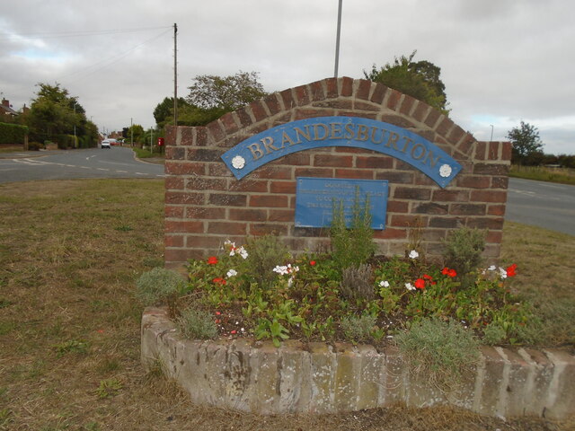
///panic.stoppage.removal. Near Brandesburton, East Yorkshire

Nearby Locations

Fosse Hill Pond

Related Wikis

Catwick

Catwick is a village and civil parish in the East Riding of Yorkshire, England. It is situated approximately 7.5 miles (12 km) north-east of Beverley town...

Brandesburton

Brandesburton is a village and civil parish in the East Riding of Yorkshire, England. It is situated approximately 7 miles (11 km) west of Hornsea and...

Little Catwick

Little Catwick is a hamlet in the East Riding of Yorkshire, England. It is situated approximately 7 miles (11 km) north-east of Beverley town centre. It...

Catfoss

Catfoss is a hamlet in the East Riding of Yorkshire, England, in an area known as Holderness. It is situated approximately 5 miles (8 km) west of the town...

RAF Catfoss

Royal Air Force Catfoss, or more simply RAF Catfoss, is a former Royal Air Force station during the Second World War. It was located 4 miles (6.4 km) west...

Leven, East Riding of Yorkshire

Leven is a village and civil parish in the East Riding of Yorkshire, England. It is situated approximately 7 miles (11 km) west of Hornsea town centre...

Sigglesthorne

Sigglesthorne is a small village and civil parish in the East Riding of Yorkshire, England. It is situated approximately 3 miles (4.8 km) west of Hornsea...

Nunkeeling

Nunkeeling is a hamlet in the East Riding of Yorkshire, England. It is situated approximately 4 miles (6.4 km) north-west of the town of Hornsea and 3...

Nearby Amenities

Located within 500m of 53.902963,-0.28703314
The data included in this document is from www.openstreetmap.org. The data is made available under ODbL.

Have you been to Fosse Hill Pond?

Leave your review of Fosse Hill Pond below (or comments, questions and feedback).