Eswick Holm
Island in Shetland
Scotland
Eswick Holm
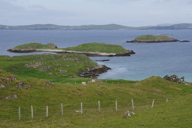
Eswick Holm is a small island located in the Shetland archipelago, situated off the northeast coast of Scotland. With an area of approximately 0.15 square kilometers, it is one of the many islands that make up the Shetland Islands. Eswick Holm is located just off the coast of the mainland, near the town of Cunningsburgh.
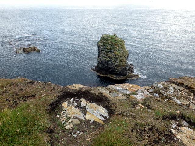
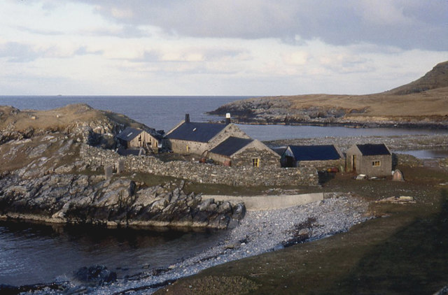
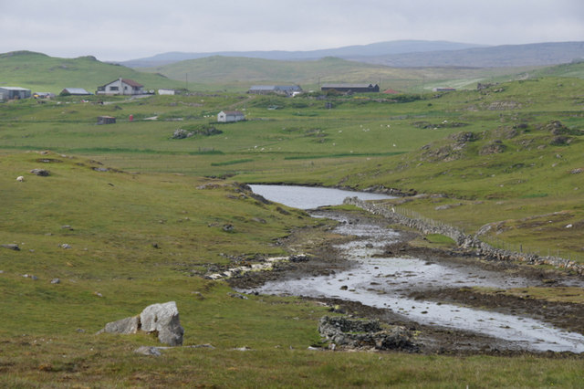
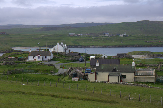
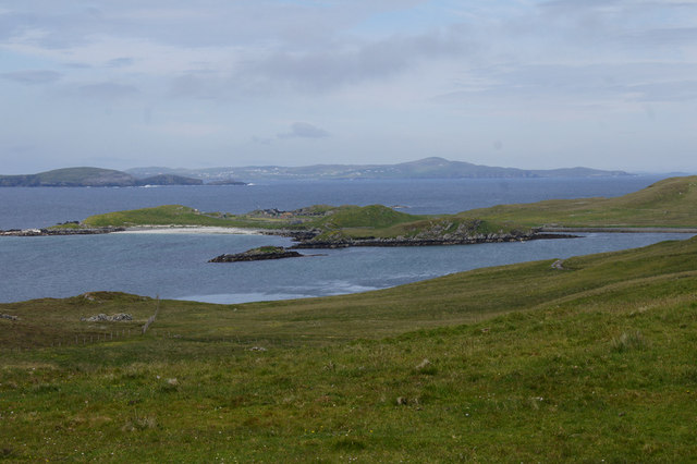
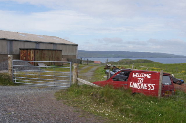
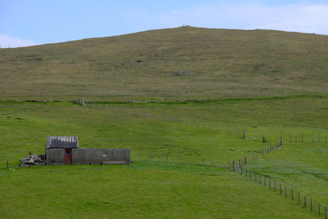
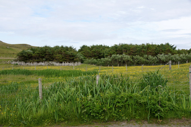
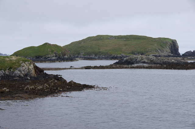
The island is characterized by its rugged and rocky coastline, with steep cliffs and exposed cliffsides. It is largely uninhabited, with no permanent residents, and is mainly used for grazing sheep and other livestock. The landscape is dominated by low-lying grasslands, interspersed with scattered shrubs and heather.
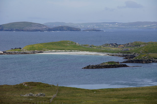
Despite its small size and lack of human population, Eswick Holm is home to a variety of bird species. It serves as an important breeding ground for seabirds, including fulmars, puffins, and guillemots. The surrounding waters are also rich in marine life, with seals and dolphins frequently spotted in the area.
Access to Eswick Holm is limited, as there are no regular ferry services or public transport connections to the island. However, it is possible to visit the island by private boat or by joining guided tours. Visitors are advised to take caution when exploring the island due to the uneven terrain and potential for hazardous conditions along the coastline.
Eswick Holm offers a unique opportunity to experience the untouched beauty of the Shetland Islands, with its rugged landscape and abundant wildlife. It is a haven for nature enthusiasts and birdwatchers, providing a peaceful and remote escape from the mainland.
If you have any feedback on the listing, please let us know in the comments section below.
Eswick Holm Images
Images are sourced within 2km of 60.259121/-1.1276215 or Grid Reference HU4853. Thanks to Geograph Open Source API. All images are credited.


Eswick Holm is located at Grid Ref: HU4853 (Lat: 60.259121, Lng: -1.1276215)
Unitary Authority: Shetland Islands
Police Authority: Highlands and Islands
What 3 Words
///atlas.likes.bliss. Near Symbister, Shetland Islands
Nearby Locations
Related Wikis

North Isle of Gletness
The North Isle of Gletness is one of the Shetland Islands. It is east of the Shetland Mainland, near Gletness in Nesting parish, and is so called in contradistinction...

Freester
Freester is a settlement on Mainland, Shetland, Scotland. It is in the parish of Nesting. == References == == External links == Canmore - Hard Knowe site...

South Isle of Gletness
The South Isle of Gletness is an islet off Gletness, in Nesting in east central, Mainland, Shetland. It is 30m at its highest point. Amongst its features...

RAF Catfirth
RAF Catfirth was a First World War seaplane base located on the island of Mainland in the Shetland Islands, Scotland. The base was under the control of...

Brettabister
Brettabister is a settlement on the island of Mainland in Shetland, Scotland. It is in the parish of Nesting. St. Ola's parish church lies to the east...
Nesting, Shetland
Nesting is a parish in the Shetland Islands, Scotland. It includes a part of the east Shetland Mainland, measuring about twelve by four miles (19 by 6...

Neap
Neap is a small village in the east coast of the Mainland of the Shetland Islands, Scotland. Neap is situated at the end of the road from Brettabister...
Geopark Shetland
Geopark Shetland is the name used by the Geopark formally established in September 2009 on its entry into the European Geoparks Network. The Geopark extends...
Have you been to Eswick Holm?
Leave your review of Eswick Holm below (or comments, questions and feedback).