Sandrift Skerries
Island in Shetland
Scotland
Sandrift Skerries
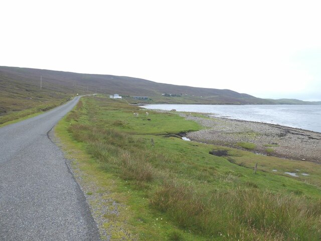
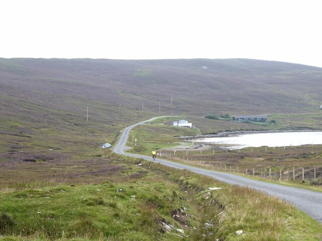
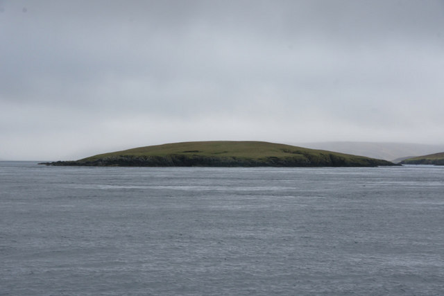
Sandrift Skerries is a group of small islands located off the coast of Shetland, an archipelago in Scotland. Situated approximately 40 kilometers northeast of the Shetland mainland, these skerries are renowned for their rugged beauty and abundant wildlife.
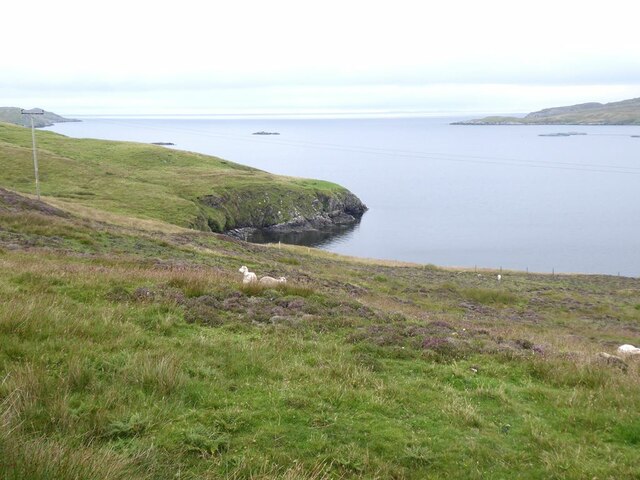
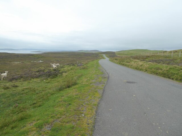
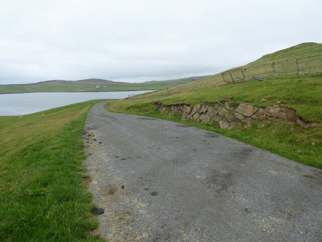
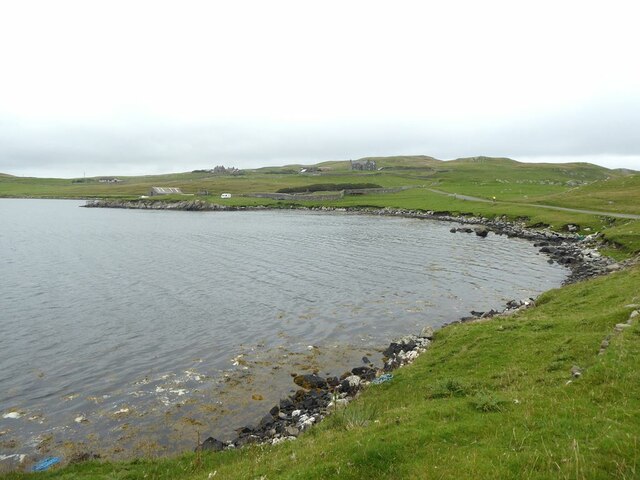
The Sandrift Skerries consist of several islets, the largest being known as Sandrift Island. The islands are characterized by their rocky terrain, with dramatic cliffs and caves carved by the relentless waves of the North Atlantic Ocean. The landscape is predominantly barren, covered in mosses, lichens, and hardy grasses, adding to the wild and untamed feel of the place.
The skerries are a haven for a variety of bird species, making them a popular destination for birdwatchers and nature enthusiasts. Puffins, guillemots, razorbills, and kittiwakes can all be spotted nesting on the cliffs, while seals and otters can often be seen playing in the surrounding waters. The islands are also home to a rich marine ecosystem, with a diverse range of fish and shellfish inhabiting the surrounding sea.
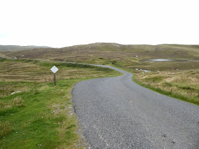
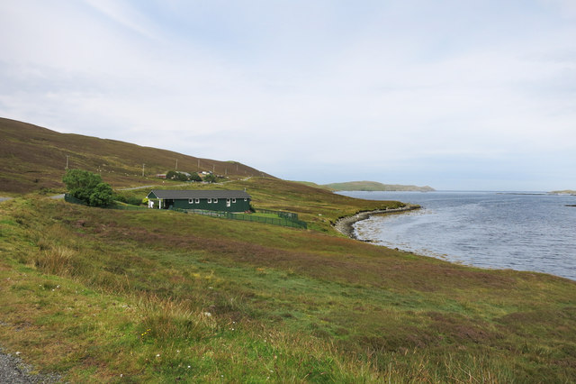
Due to their remote location, the Sandrift Skerries offer a true escape from civilization. There are no permanent human settlements on the islands, and access is limited to private boat trips or organized tours. Visitors can explore the rugged coastline, marvel at the breathtaking views, and experience the tranquility of this untouched natural paradise.
In summary, the Sandrift Skerries in Shetland are a group of uninhabited islands known for their rugged beauty, diverse wildlife, and remote location. They offer a unique opportunity to experience the untamed wilderness of the Scottish coastline.
If you have any feedback on the listing, please let us know in the comments section below.
Sandrift Skerries Images
Images are sourced within 2km of 60.396477/-1.1238774 or Grid Reference HU4868. Thanks to Geograph Open Source API. All images are credited.


Sandrift Skerries is located at Grid Ref: HU4868 (Lat: 60.396477, Lng: -1.1238774)
Unitary Authority: Shetland Islands
Police Authority: Highlands and Islands
What 3 Words
///mermaids.clumped.readjust. Near Vidlin, Shetland Islands
Nearby Locations
Related Wikis

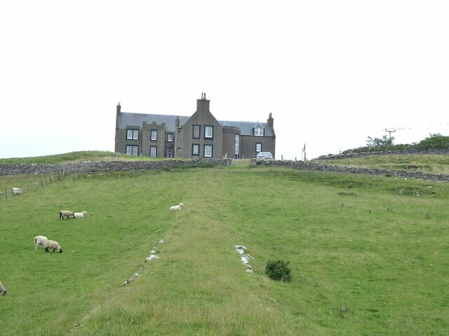
Lunna House
Lunna House is a 17th-century laird's house on Lunna Ness in the Shetland Islands. Lunna House is noted for having "the best historic designed landscape...

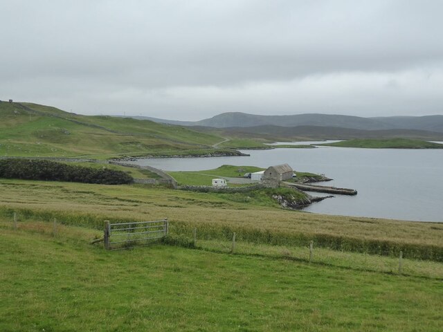
Vidlin
Vidlin (from Old Norse: Vaðill meaning a ford) is a small village located on Mainland, Shetland, Scotland. The settlement is within the parish of Nesting...

Lunna Ness
Lunna Ness is a peninsula in the north east of Mainland, Shetland, Scotland , in the parish of Lunnasting near Vidlin. The island of Lunna Holm is nearby...

Little Linga
Little Linga is a small island in the Shetland Islands. It is near West Linga and Vidlin on Mainland, Shetland. It is 20 metres (66 ft) at its highest...
Linga, Yell Sound
Linga is one of the Shetland Islands, in Yell Sound. == Geography and geology == Linga is an extremely common name in Shetland, meaning heather island...

West Linga
West Linga is an uninhabited island located between Mainland and Whalsay in Shetland, Scotland. == Geography and geology == West Linga is a long narrow...
Fish Holm
Fish Holm is a small island, 1.5 miles (2.4 km) east of Mainland, Shetland. It is near the village of Mossbank. It is 20 metres (66 ft) at its highest...

Laxo
Laxo is a small settlement at the end of Laxo Voe in Vidlin, Shetland, Scotland. A ferry from the Mainland to Symbister in Whalsay operates from the nearby...
Nearby Amenities
Located within 500m of 60.396477,-1.1238774Have you been to Sandrift Skerries?
Leave your review of Sandrift Skerries below (or comments, questions and feedback).