East Lunna Voe
Bay in Shetland
Scotland
East Lunna Voe
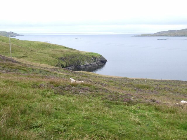
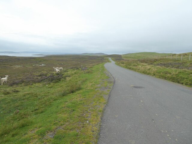
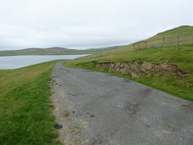
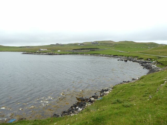
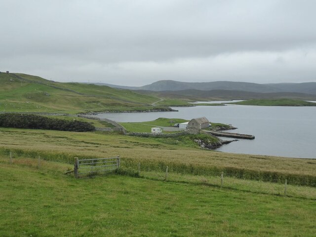
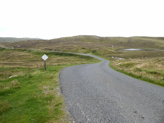
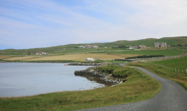
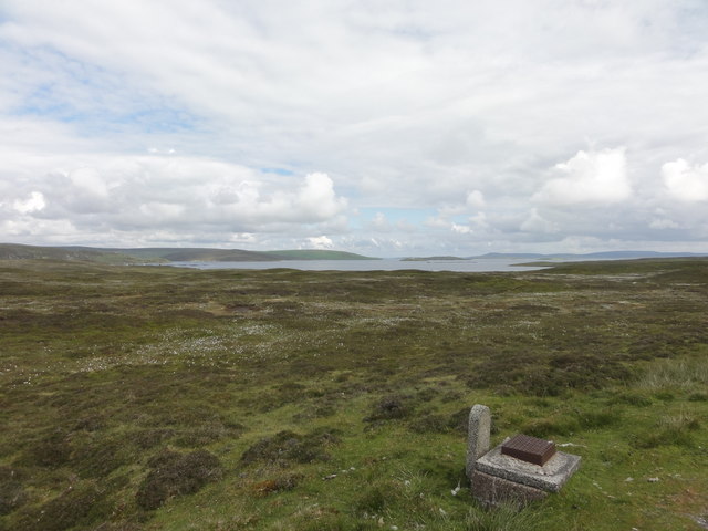
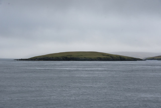
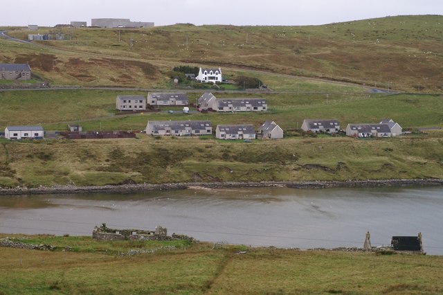
East Lunna Voe is a picturesque bay located on the eastern coast of the Shetland Islands, Scotland. It is situated on the northeastern side of the island of Mainland, near the village of Vidlin. The bay stretches for approximately one mile and is surrounded by stunning cliffs and rolling hills, providing visitors with breathtaking views of the rugged coastal landscape.
East Lunna Voe is renowned for its natural beauty and tranquil atmosphere, making it a popular destination for nature enthusiasts and photographers. The bay is home to a diverse range of wildlife, including seabirds, seals, and occasionally otters, offering ample opportunities for wildlife spotting and birdwatching.
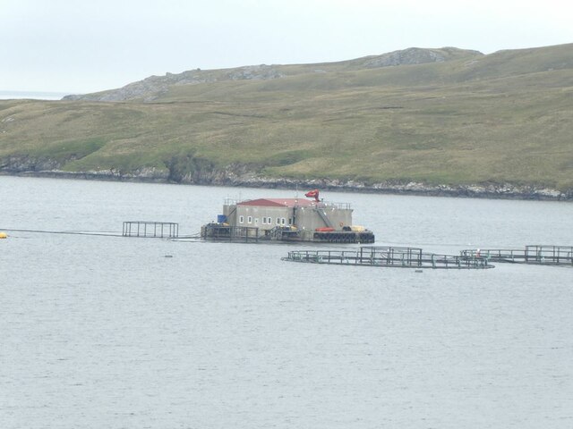
The bay is also a hub for marine activities, with its calm waters and sheltered location making it ideal for boating and fishing. There is a small pier in the bay that provides access for boats, allowing visitors to explore the surrounding waters and enjoy fishing or leisurely boat trips.
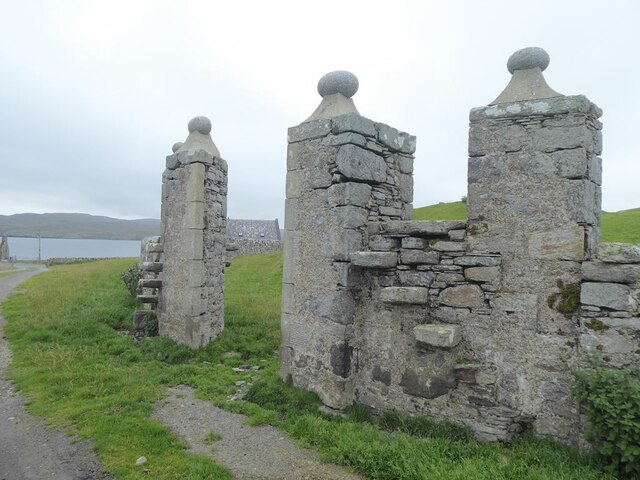
The area around East Lunna Voe is rich in history, with traces of ancient settlements and archaeological sites nearby. The remains of a broch, an Iron Age roundhouse, can be found on a hill overlooking the bay, adding an element of historical intrigue to the area.
Overall, East Lunna Voe is a captivating destination that offers a harmonious blend of natural beauty, wildlife, and historical significance. Whether it's exploring the bay by boat, admiring the stunning scenery, or immersing oneself in the local history, this Shetland gem provides a memorable experience for visitors of all interests.
If you have any feedback on the listing, please let us know in the comments section below.
East Lunna Voe Images
Images are sourced within 2km of 60.400826/-1.1175899 or Grid Reference HU4868. Thanks to Geograph Open Source API. All images are credited.

East Lunna Voe is located at Grid Ref: HU4868 (Lat: 60.400826, Lng: -1.1175899)
Unitary Authority: Shetland Islands
Police Authority: Highlands and Islands
What 3 Words
///expiring.lifted.carbonate. Near Vidlin, Shetland Islands
Nearby Locations
Related Wikis

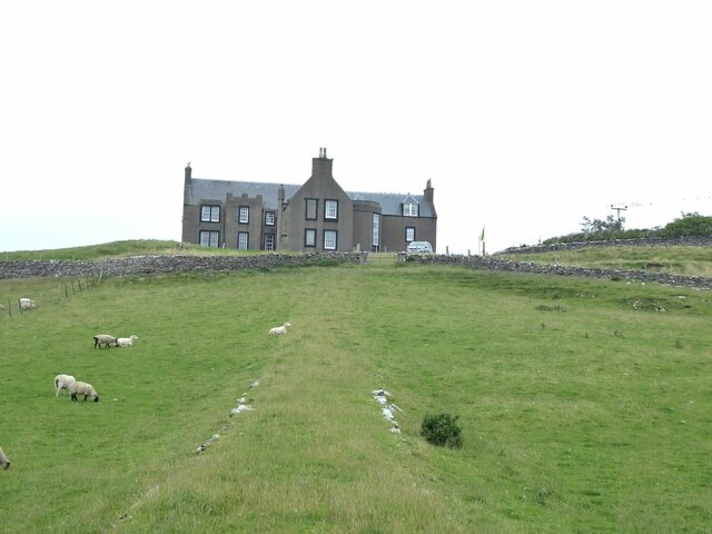
Lunna House
Lunna House is a 17th-century laird's house on Lunna Ness in the Shetland Islands. Lunna House is noted for having "the best historic designed landscape...

Lunna Ness
Lunna Ness is a peninsula in the north east of Mainland, Shetland, Scotland , in the parish of Lunnasting near Vidlin. The island of Lunna Holm is nearby...

Vidlin
Vidlin (from Old Norse: Vaðill meaning a ford) is a small village located on Mainland, Shetland, Scotland. The settlement is within the parish of Nesting...
Linga, Yell Sound
Linga is one of the Shetland Islands, in Yell Sound. == Geography and geology == Linga is an extremely common name in Shetland, meaning heather island...

Little Linga
Little Linga is a small island in the Shetland Islands. It is near West Linga and Vidlin on Mainland, Shetland. It is 20 metres (66 ft) at its highest...
Fish Holm
Fish Holm is a small island, 1.5 miles (2.4 km) east of Mainland, Shetland. It is near the village of Mossbank. It is 20 metres (66 ft) at its highest...

West Linga
West Linga is an uninhabited island located between Mainland and Whalsay in Shetland, Scotland. == Geography and geology == West Linga is a long narrow...
Firth, Shetland
Note: "Firth" is a common name for sounds in ShetlandFirth is a village in the north east of Mainland, Shetland, Scotland, in the parish of Delting, not...
Nearby Amenities
Located within 500m of 60.400826,-1.1175899Have you been to East Lunna Voe?
Leave your review of East Lunna Voe below (or comments, questions and feedback).