Hellam
Island in Shetland
Scotland
Hellam
Hellam is a small settlement located on the island of Shetland, which is part of Scotland in the United Kingdom. Situated in the North Atlantic Ocean, Shetland is an archipelago known for its breathtaking landscapes, rich history, and unique culture. Hellam is nestled in the southwestern region of the main island, approximately 7 miles south of the capital, Lerwick.
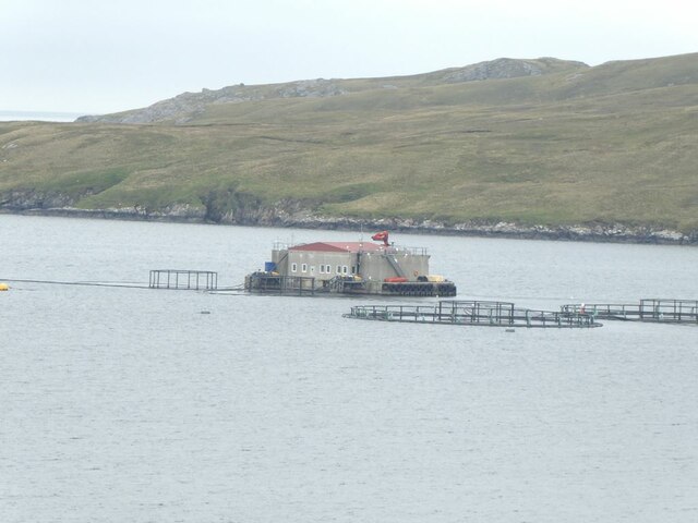
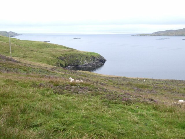
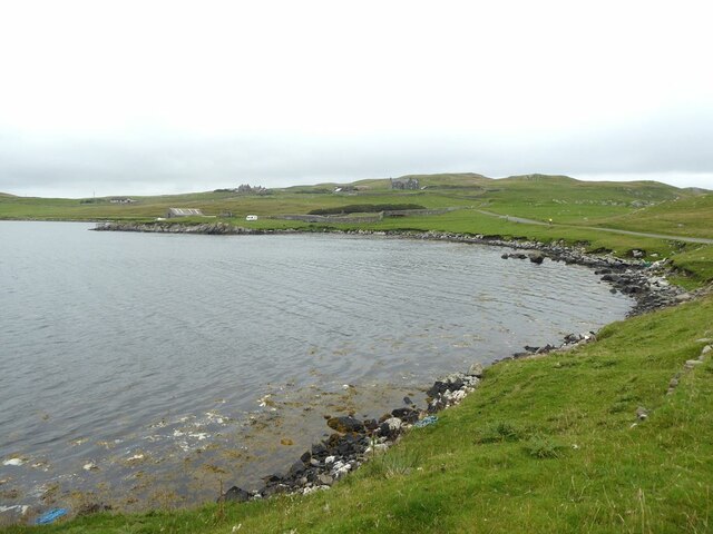
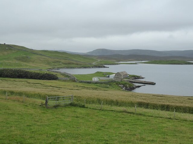
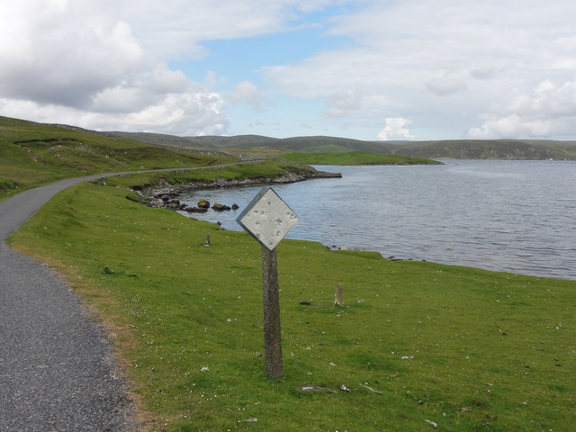
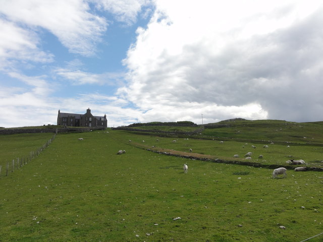
With a population of around 100 residents, Hellam is a tight-knit community that offers a tranquil and idyllic lifestyle. The village is surrounded by stunning natural beauty, including rolling hills, picturesque meadows, and rugged coastlines. The nearby Voe of Hellam, a small inlet, provides a scenic backdrop for locals and visitors alike.
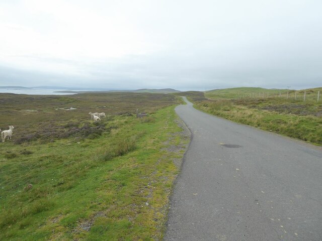
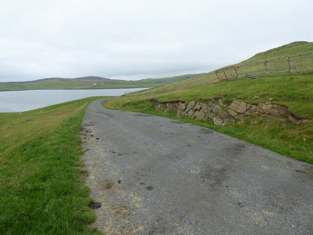
Hellam is well-connected to the rest of Shetland, with a network of roads that allow easy access to nearby towns and attractions. The settlement boasts a few essential amenities, such as a local shop, a small primary school, and a community center. The area is also renowned for its traditional Shetland knitwear, with several local artisans producing high-quality woolen garments.
For outdoor enthusiasts, Hellam offers ample opportunities for exploration and adventure. The surrounding countryside is perfect for hiking, birdwatching, and fishing. The coastline provides opportunities for beachcombing and observing marine wildlife such as seals and seabirds. Additionally, visitors can experience the unique Shetland pony breed, which roams freely in the area.
In summary, Hellam is a charming and peaceful village on the island of Shetland. Its stunning natural surroundings, community spirit, and access to outdoor activities make it a desirable place to live or visit for those seeking a slower pace of life and a connection with nature.
If you have any feedback on the listing, please let us know in the comments section below.
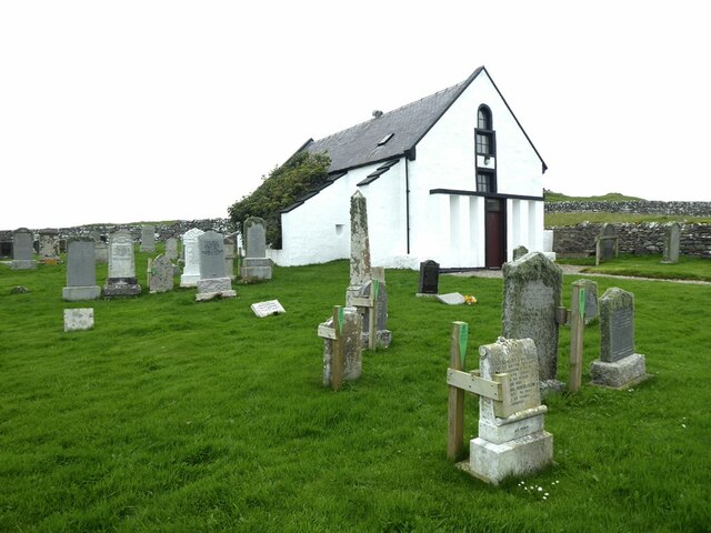
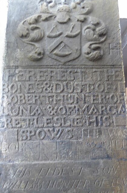
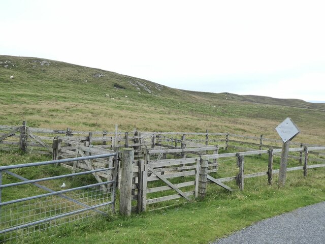
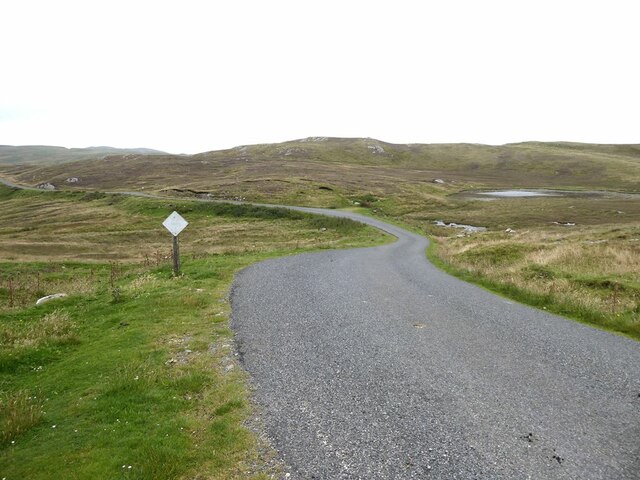
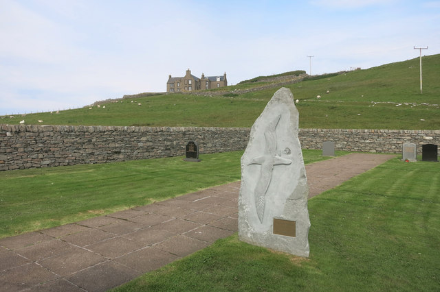
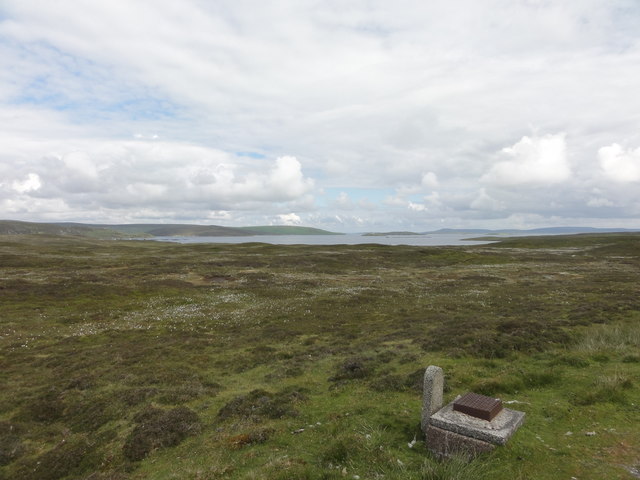
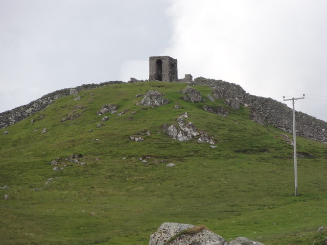
Hellam Images
Images are sourced within 2km of 60.399276/-1.1208077 or Grid Reference HU4868. Thanks to Geograph Open Source API. All images are credited.
Hellam is located at Grid Ref: HU4868 (Lat: 60.399276, Lng: -1.1208077)
Unitary Authority: Shetland Islands
Police Authority: Highlands and Islands
What 3 Words
///hardening.yappy.building. Near Vidlin, Shetland Islands
Nearby Locations
Related Wikis

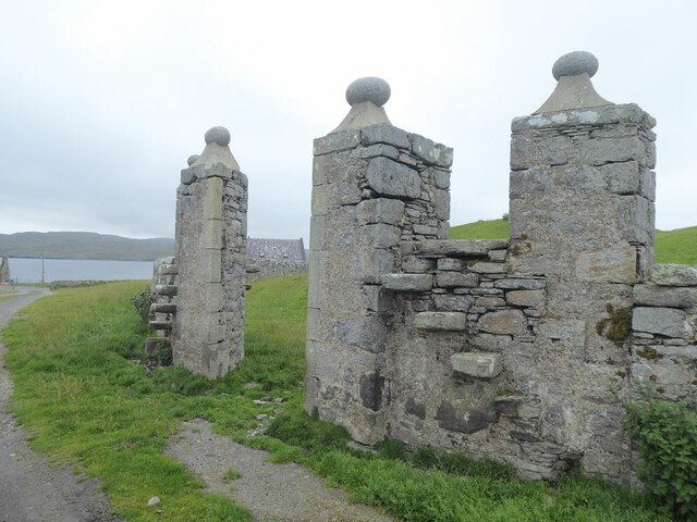
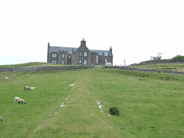
Lunna House
Lunna House is a 17th-century laird's house on Lunna Ness in the Shetland Islands. Lunna House is noted for having "the best historic designed landscape...

Vidlin
Vidlin (from Old Norse: Vaðill meaning a ford) is a small village located on Mainland, Shetland, Scotland. The settlement is within the parish of Nesting...

Lunna Ness
Lunna Ness is a peninsula in the north east of Mainland, Shetland, Scotland , in the parish of Lunnasting near Vidlin. The island of Lunna Holm is nearby...
Linga, Yell Sound
Linga is one of the Shetland Islands, in Yell Sound. == Geography and geology == Linga is an extremely common name in Shetland, meaning heather island...
Nearby Amenities
Located within 500m of 60.399276,-1.1208077Have you been to Hellam?
Leave your review of Hellam below (or comments, questions and feedback).