Eswick
Settlement in Shetland
Scotland
Eswick
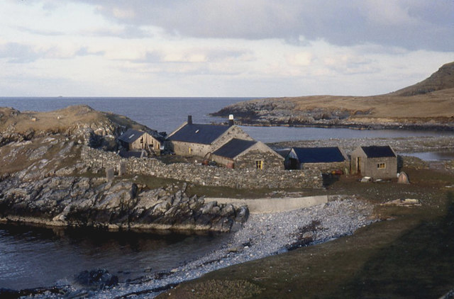
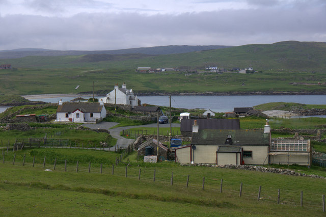
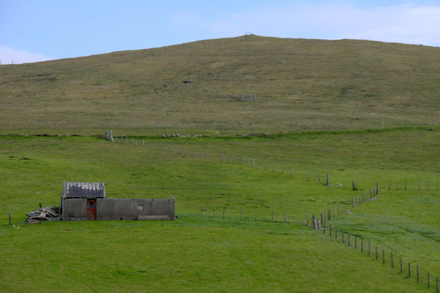
Eswick is a small village located on the island of Shetland, Scotland. Situated on the east coast of the mainland, it lies approximately 10 miles north of the town of Lerwick. With a population of around 200 people, Eswick is a close-knit community that offers a tranquil and picturesque setting.
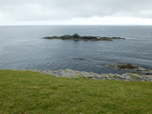
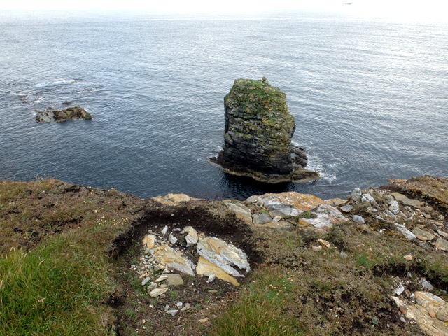
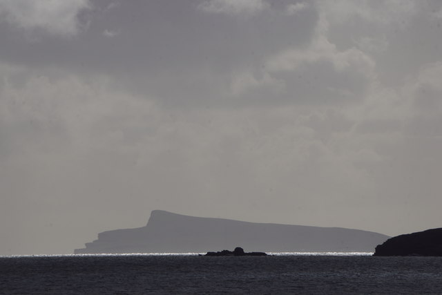
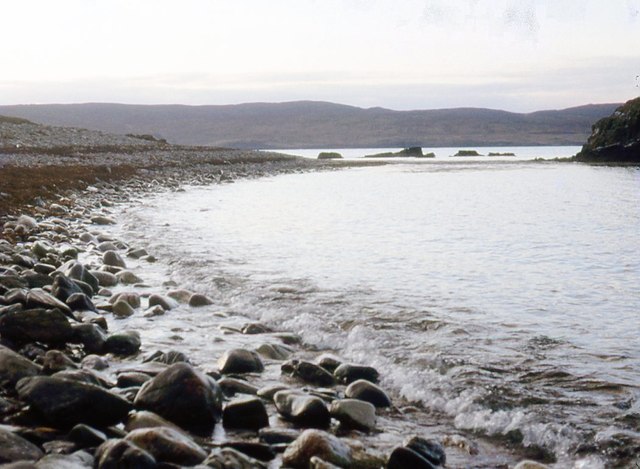
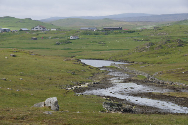
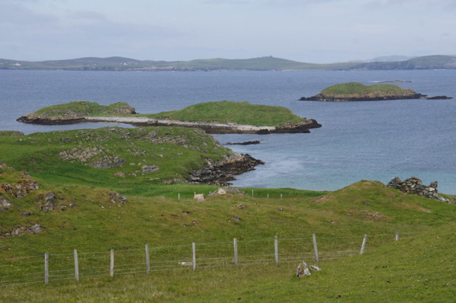
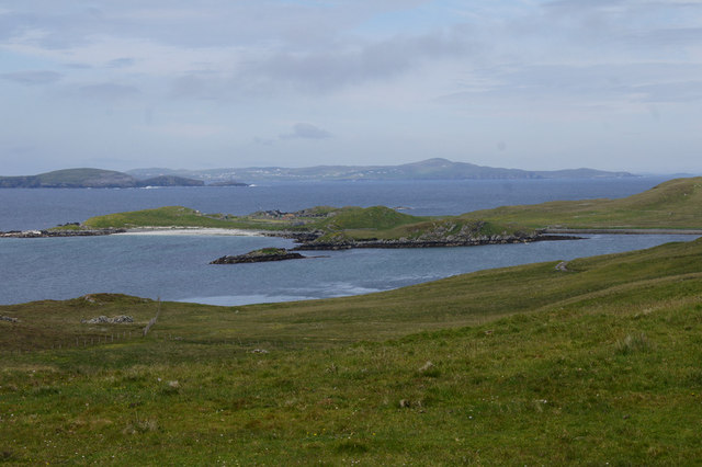
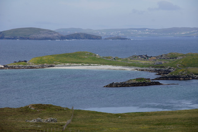
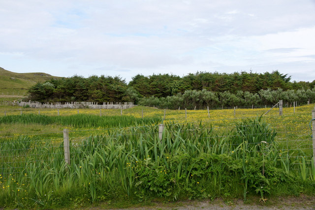
The village is known for its stunning natural beauty, surrounded by rolling hills and breathtaking coastal views. The rugged coastline provides visitors with opportunities for scenic walks, fishing, and birdwatching. Eswick is also home to a small sandy beach, making it a popular spot for families and outdoor enthusiasts.
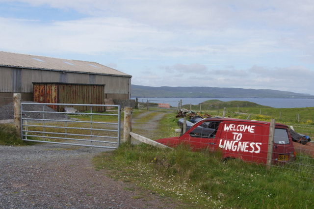
Despite its small size, Eswick has a strong sense of community and offers a range of amenities. The village has a primary school, a local shop, and a community center that hosts various events and activities throughout the year. Additionally, Eswick boasts a charming pub, where locals and visitors can enjoy traditional Shetland cuisine and experience the warm hospitality of the island.
For history enthusiasts, Eswick is home to the Eswick Stone, a Pictish standing stone dating back to the 7th or 8th century. This ancient monument is a testament to the rich history of the area and attracts visitors interested in Shetland's cultural heritage.
Overall, Eswick is a peaceful and welcoming village that showcases the natural beauty and community spirit of Shetland. Whether you are seeking a quiet retreat or an opportunity to explore the great outdoors, Eswick offers a delightful experience for all who visit.
If you have any feedback on the listing, please let us know in the comments section below.
Eswick Images
Images are sourced within 2km of 60.265833/-1.119391 or Grid Reference HU4853. Thanks to Geograph Open Source API. All images are credited.


Eswick is located at Grid Ref: HU4853 (Lat: 60.265833, Lng: -1.119391)
Unitary Authority: Shetland Islands
Police Authority: Highlands and Islands
What 3 Words
///hangs.overheard.rocks. Near Symbister, Shetland Islands
Nearby Locations
Related Wikis

North Isle of Gletness
The North Isle of Gletness is one of the Shetland Islands. It is east of the Shetland Mainland, near Gletness in Nesting parish, and is so called in contradistinction...

Freester
Freester is a settlement on Mainland, Shetland, Scotland. It is in the parish of Nesting. == References == == External links == Canmore - Hard Knowe site...

Brettabister
Brettabister is a settlement on the island of Mainland in Shetland, Scotland. It is in the parish of Nesting. St. Ola's parish church lies to the east...
Nesting, Shetland
Nesting is a parish in the Shetland Islands, Scotland. It includes a part of the east Shetland Mainland, measuring about twelve by four miles (19 by 6...

RAF Catfirth
RAF Catfirth was a First World War seaplane base located on the island of Mainland in the Shetland Islands, Scotland. The base was under the control of...

South Isle of Gletness
The South Isle of Gletness is an islet off Gletness, in Nesting in east central, Mainland, Shetland. It is 30m at its highest point. Amongst its features...

Neap
Neap is a small village in the east coast of the Mainland of the Shetland Islands, Scotland. Neap is situated at the end of the road from Brettabister...
Geopark Shetland
Geopark Shetland is the name used by the Geopark formally established in September 2009 on its entry into the European Geoparks Network. The Geopark extends...
Nearby Amenities
Located within 500m of 60.265833,-1.119391Have you been to Eswick?
Leave your review of Eswick below (or comments, questions and feedback).