The Noup
Hill, Mountain in Shetland
Scotland
The Noup
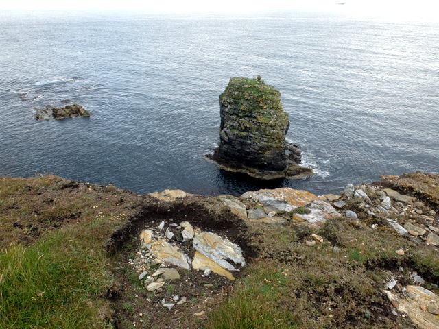
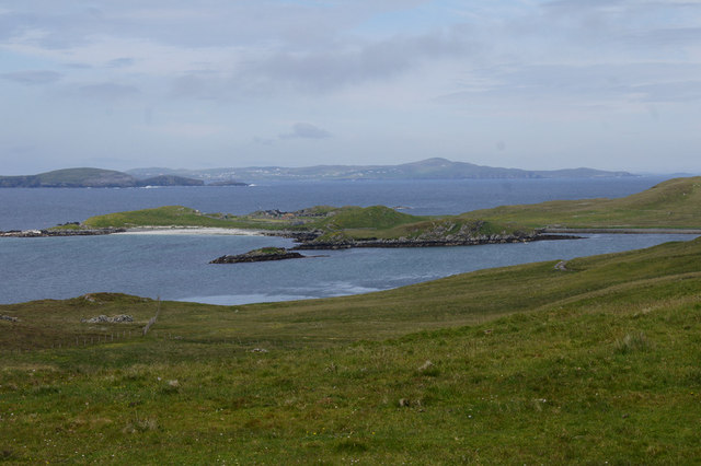
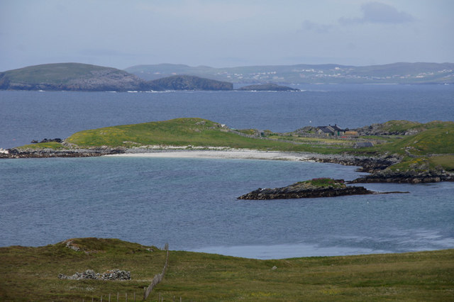
The Noup is a prominent hill located on the island of Papa Westray in the Shetland Islands, Scotland. Rising majestically from the rugged coastline, it stands at an elevation of approximately 76 meters (249 feet) above sea level. The Noup is known for its distinctive shape, with steep cliffs on three sides and a relatively gentle slope on the fourth side.
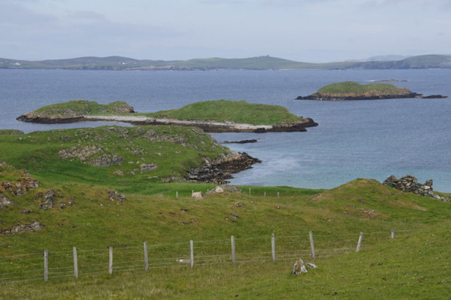
This dramatic landscape is a result of the erosion caused by powerful waves crashing against the cliffs over thousands of years. The exposed cliffs are made up of layers of sandstone and limestone, which provide a nesting habitat for a variety of seabirds such as puffins, guillemots, and razorbills. The Noup is particularly renowned for its large colony of fulmars, with their distinctive tube-like beaks.
The hill offers breathtaking panoramic views of the surrounding coastline, with its jagged cliffs and the vast expanse of the North Atlantic Ocean stretching into the horizon. On a clear day, visitors can even catch a glimpse of the neighboring islands of Westray and Rousay.
Access to The Noup is relatively easy, with a well-marked walking path leading to the summit. However, caution is advised as the cliffs can be dangerous, especially during windy conditions. Due to its natural beauty and importance as a seabird sanctuary, The Noup is protected as a Site of Special Scientific Interest (SSSI), ensuring its preservation for future generations to enjoy.
If you have any feedback on the listing, please let us know in the comments section below.
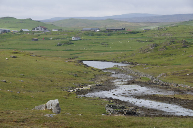
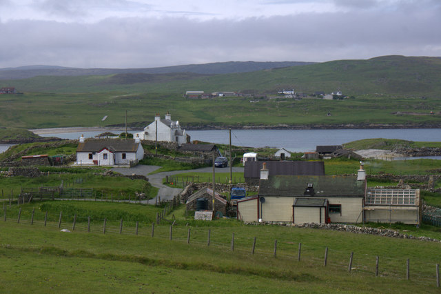
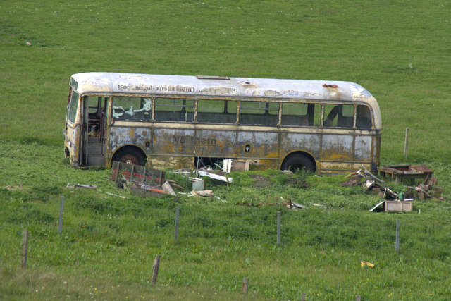
The Noup Images
Images are sourced within 2km of 60.264617/-1.1303851 or Grid Reference HU4853. Thanks to Geograph Open Source API. All images are credited.


The Noup is located at Grid Ref: HU4853 (Lat: 60.264617, Lng: -1.1303851)
Unitary Authority: Shetland Islands
Police Authority: Highlands and Islands
What 3 Words
///recitals.sued.flitting. Near Symbister, Shetland Islands
Nearby Locations
Related Wikis

North Isle of Gletness
The North Isle of Gletness is one of the Shetland Islands. It is east of the Shetland Mainland, near Gletness in Nesting parish, and is so called in contradistinction...

Freester
Freester is a settlement on Mainland, Shetland, Scotland. It is in the parish of Nesting. == References == == External links == Canmore - Hard Knowe site...

RAF Catfirth
RAF Catfirth was a First World War seaplane base located on the island of Mainland in the Shetland Islands, Scotland. The base was under the control of...

South Isle of Gletness
The South Isle of Gletness is an islet off Gletness, in Nesting in east central, Mainland, Shetland. It is 30m at its highest point. Amongst its features...

Brettabister
Brettabister is a settlement on the island of Mainland in Shetland, Scotland. It is in the parish of Nesting. St. Ola's parish church lies to the east...
Nesting, Shetland
Nesting is a parish in the Shetland Islands, Scotland. It includes a part of the east Shetland Mainland, measuring about twelve by four miles (19 by 6...

Neap
Neap is a small village in the east coast of the Mainland of the Shetland Islands, Scotland. Neap is situated at the end of the road from Brettabister...
Geopark Shetland
Geopark Shetland is the name used by the Geopark formally established in September 2009 on its entry into the European Geoparks Network. The Geopark extends...
Nearby Amenities
Located within 500m of 60.264617,-1.1303851Have you been to The Noup?
Leave your review of The Noup below (or comments, questions and feedback).