Papa Westray
Island in Orkney
Scotland
Papa Westray

Papa Westray, also known as "Papay" by the locals, is one of the Orkney Islands located off the north coast of Scotland. It covers an area of approximately 9 square kilometers and is home to a population of around 90 people. The island boasts a rich history that dates back thousands of years.
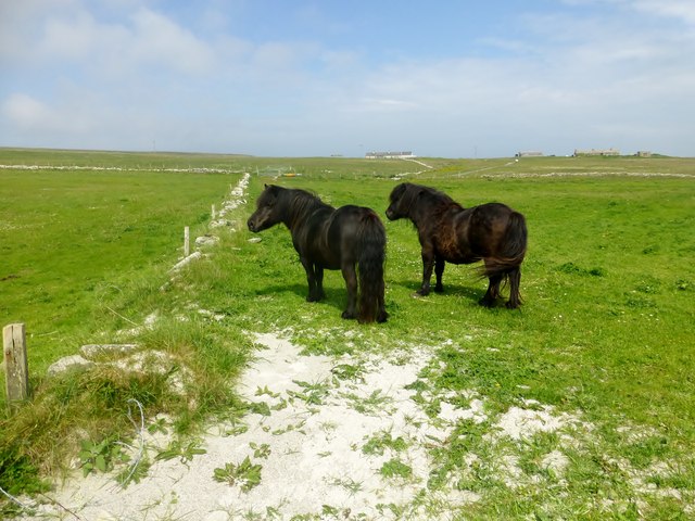
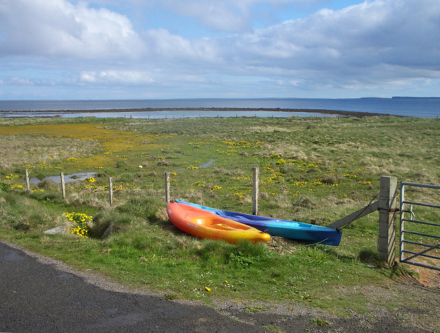
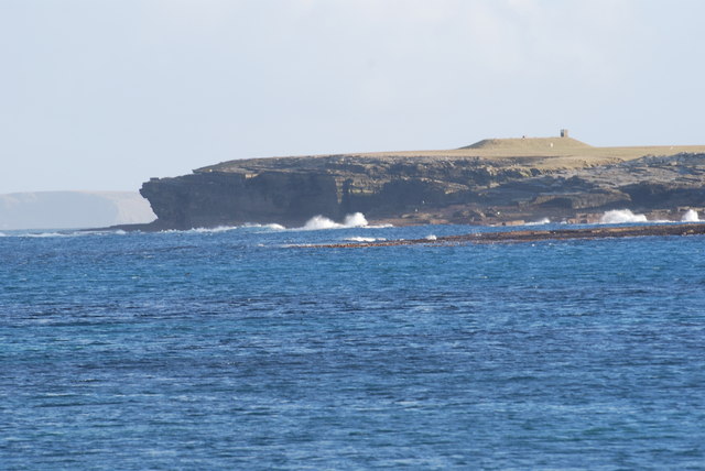
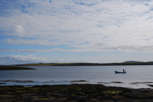
Papa Westray is renowned for its stunning natural beauty, with rugged cliffs, sandy beaches, and rolling green hills. It is a haven for birdwatchers, as it is home to a variety of seabirds including puffins, guillemots, and razorbills. The island also hosts a number of rare plant species, adding to its ecological importance.
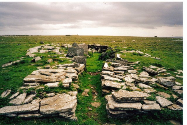
Historically, Papa Westray was inhabited by Neolithic settlers, and several well-preserved archaeological sites can be found on the island. The most famous of these is the Knap of Howar, a Neolithic farmstead believed to be the oldest standing stone houses in Europe, dating back to around 3,500 BC.
Despite its small size, Papa Westray offers a range of amenities for visitors, including a post office, a general store, and a café. The island is also home to the Papay Community Cooperative, a local organization that works to promote sustainable living and community engagement. The cooperative runs various projects, such as the Papay Peedie Kirk, a restored church that serves as a venue for cultural events and exhibitions.
Overall, Papa Westray is a captivating island that combines natural beauty, rich history, and a vibrant community spirit. It offers a unique escape for those seeking tranquility and a deeper connection with nature.
If you have any feedback on the listing, please let us know in the comments section below.
Papa Westray Images
Images are sourced within 2km of 59.350659/-2.8899593 or Grid Reference HY4951. Thanks to Geograph Open Source API. All images are credited.


Papa Westray is located at Grid Ref: HY4951 (Lat: 59.350659, Lng: -2.8899593)
Unitary Authority: Orkney Islands
Police Authority: Highlands and Islands
What 3 Words
///rice.hippy.glance. Near Pierowall, Orkney Islands
Nearby Locations
Related Wikis

Papa Westray
Papa Westray () (Scots: Papa Westree), also known as Papay, is one of the Orkney Islands in Scotland, United Kingdom. The fertile soil has long been a...

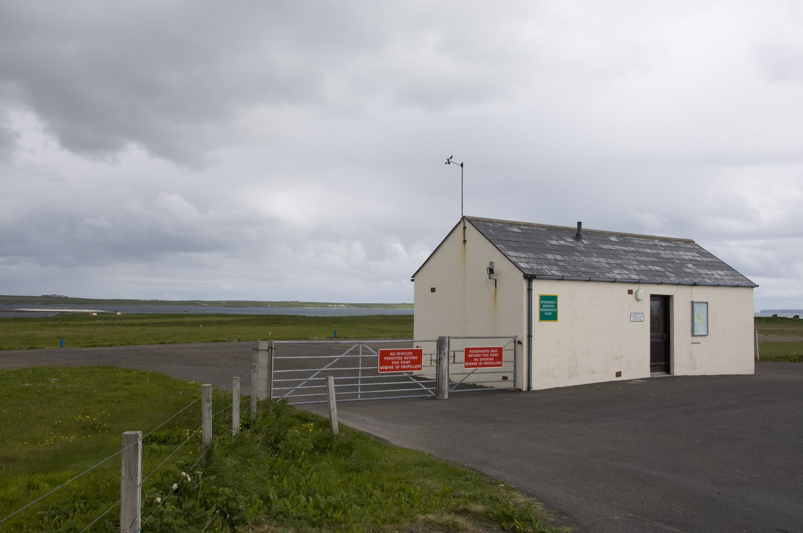
Papa Westray Airport
Papa Westray Airport (IATA: PPW, ICAO: EGEP) is located 22 NM (41 km; 25 mi) north of Kirkwall Airport on Papa Westray, Orkney Islands, Scotland. The facility...

Holland House, Papa Westray
Holland Farm is a historic farm complex located on the island of Papa Westray in Orkney, Scotland. The two-storey harled flagstone house with crow-stepped...

St Boniface's Church, Papa Westray
St Boniface's Church, Papa Westray is a historic church and graveyard located on the island of Papa Westray in Orkney, Scotland. The site of the church...

Knap of Howar
The Knap of Howar () on the island of Papa Westray in Orkney, Scotland is a Neolithic farmstead which may be the oldest preserved stone house in northern...

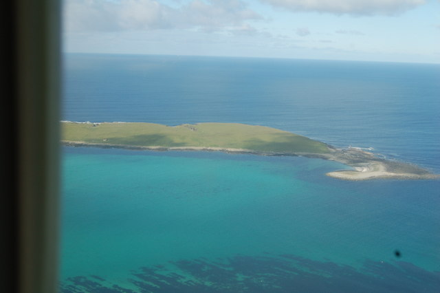
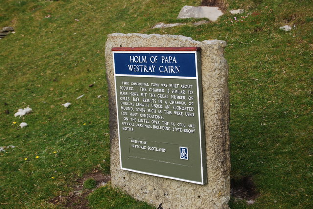
Holm of Papa
The Holm of Papa (or Holm of Papay, Holm of Papa Westray and known locally as the Papay Holm,) is a very small uninhabited island in the Orkney Islands...
Westray Airport
Westray Airport (IATA: WRY, ICAO: EGEW) is an airport at Aikerness, on Westray in the Orkney Islands, Scotland. It is best known for being one of the two...

Quoygrew settlement, Westray
Quoygrew, Westray is the site of a medieval Norse settlement on the island of Westray in Orkney, Scotland. Established as a small farmstead most likely...
Nearby Amenities
Located within 500m of 59.350659,-2.8899593Have you been to Papa Westray?
Leave your review of Papa Westray below (or comments, questions and feedback).