Laws Point
Coastal Feature, Headland, Point in Orkney
Scotland
Laws Point

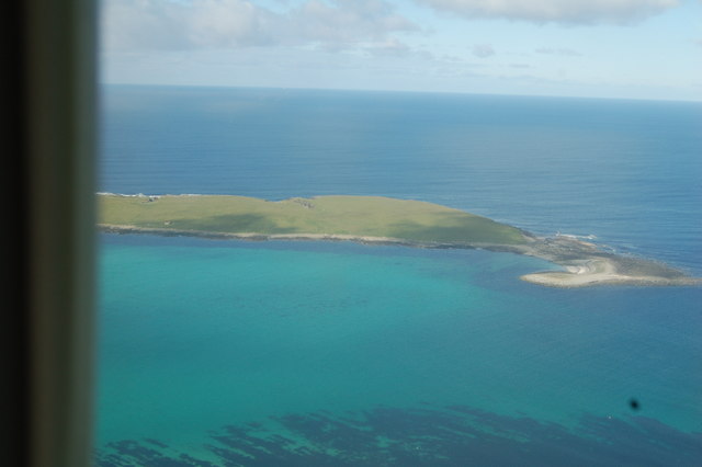
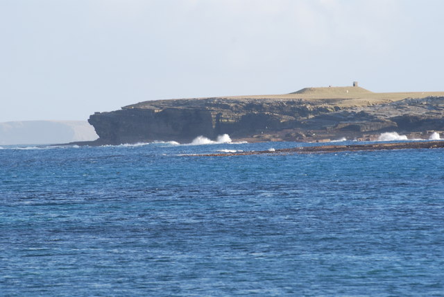
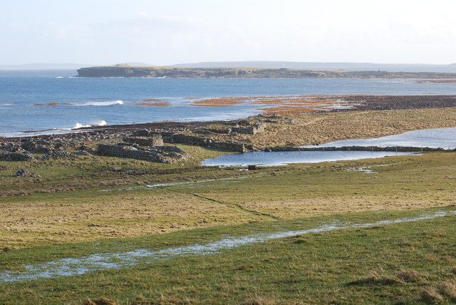
Laws Point, located in Orkney, is a prominent headland and coastal feature that juts out into the North Sea. Situated on the northeastern coast of mainland Orkney, this distinctive point is known for its rugged beauty and dramatic landscape.
The headland is characterized by its towering cliffs, which reach heights of up to 50 meters in some areas. These sheer cliffs are composed of layers of sandstone and are often adorned with vibrant green vegetation, adding a striking contrast to the surrounding sea. The point also features a rocky shoreline, with numerous small caves and arches carved out by the relentless waves over centuries.
Laws Point offers breathtaking panoramic views of the surrounding coastal scenery, with vistas stretching out towards the neighboring islands of Shapinsay and Stronsay. On a clear day, visitors can even catch a glimpse of the distant Fair Isle, a small island located between Orkney and Shetland.
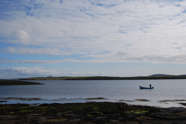
The area surrounding Laws Point is home to a rich and diverse array of wildlife. Birdwatchers flock to the headland to observe and photograph the numerous seabirds that nest on the cliffs, including puffins, guillemots, and fulmars. The surrounding waters are also teeming with marine life, with seals often spotted basking on the rocks and dolphins occasionally seen frolicking in the waves.
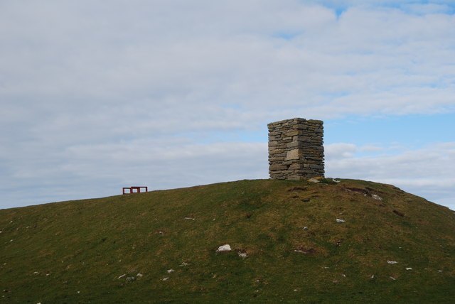
Laws Point is a popular destination for nature enthusiasts and hikers, with several walking trails offering access to the headland and its stunning views. Whether exploring the rugged coastline, observing the abundant wildlife, or simply taking in the majestic beauty of the North Sea, Laws Point is a must-visit location for anyone seeking a unique and captivating coastal experience in Orkney.
If you have any feedback on the listing, please let us know in the comments section below.
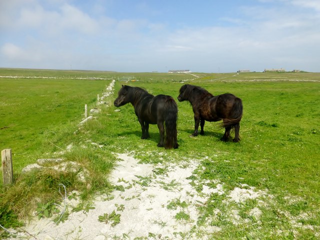
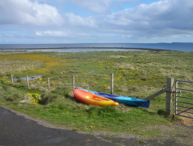
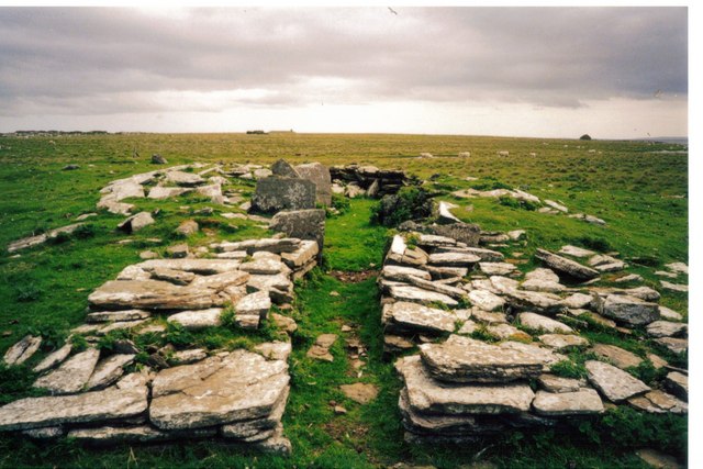
Laws Point Images
Images are sourced within 2km of 59.34984/-2.8835721 or Grid Reference HY4951. Thanks to Geograph Open Source API. All images are credited.


Laws Point is located at Grid Ref: HY4951 (Lat: 59.34984, Lng: -2.8835721)
Unitary Authority: Orkney Islands
Police Authority: Highlands and Islands
What 3 Words
///self.pushes.ditching. Near Pierowall, Orkney Islands
Nearby Locations
Related Wikis

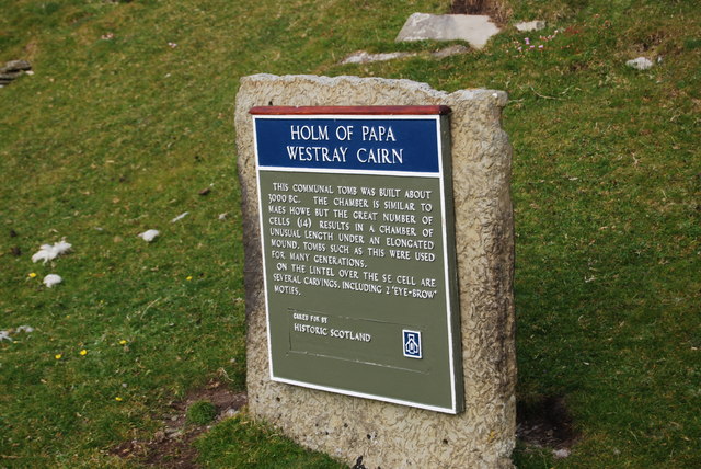
Holm of Papa
The Holm of Papa (or Holm of Papay, Holm of Papa Westray and known locally as the Papay Holm,) is a very small uninhabited island in the Orkney Islands...

Papa Westray
Papa Westray () (Scots: Papa Westree), also known as Papay, is one of the Orkney Islands in Scotland, United Kingdom. The fertile soil has long been a...

Papa Westray Airport
Papa Westray Airport (IATA: PPW, ICAO: EGEP) is located 22 NM (41 km; 25 mi) north of Kirkwall Airport on Papa Westray, Orkney Islands, Scotland. The facility...

Holland House, Papa Westray
Holland Farm is a historic farm complex located on the island of Papa Westray in Orkney, Scotland. The two-storey harled flagstone house with crow-stepped...
Nearby Amenities
Located within 500m of 59.34984,-2.8835721Have you been to Laws Point?
Leave your review of Laws Point below (or comments, questions and feedback).