Flat Holm Nature Reserve
Island in Glamorgan
Wales
Flat Holm Nature Reserve
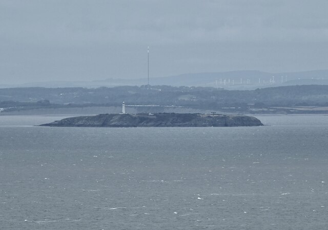
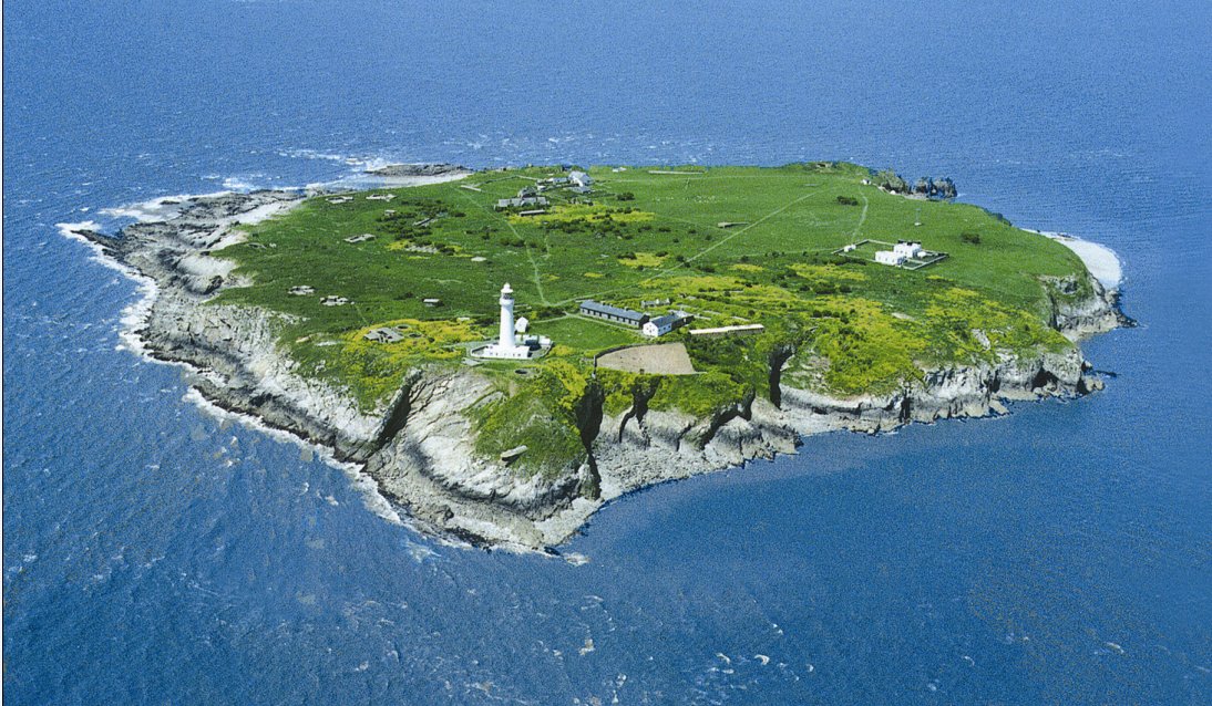
Flat Holm Nature Reserve is a small island located in the Bristol Channel, approximately six miles off the coast of Glamorgan, Wales. With an area of just 0.35 square miles, it is the southernmost point in Wales and is renowned for its rich biodiversity and historical significance.
The island is a designated nature reserve due to its diverse range of habitats, including grasslands, cliffs, and rocky shores. These habitats support a wide variety of plant and animal species, including several rare and endangered ones. Flat Holm is particularly famous for its seabird colonies, with large populations of guillemots, razorbills, and kittiwakes nesting on the cliffs.
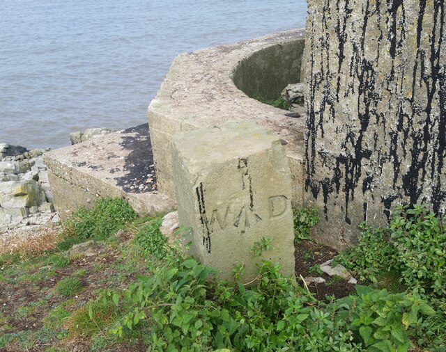
In addition to its natural beauty, the island has a long and fascinating history. It has been inhabited since Neolithic times and has seen various uses over the centuries, including as a religious retreat, quarantine station, and military defense post. The island’s most notable historical feature is the 19th-century Victorian gun battery, which stands as a reminder of its strategic significance during times of conflict.
Visitors to Flat Holm Nature Reserve can explore the island's walking trails and enjoy breathtaking views of the surrounding sea and coastline. Guided tours are available, providing visitors with the opportunity to learn about the island’s wildlife, history, and conservation efforts.
To protect its fragile ecosystems, access to Flat Holm is strictly regulated, and overnight stays are only permitted for researchers and volunteers. Nonetheless, the island remains a treasured destination for nature enthusiasts, history buffs, and those seeking a tranquil escape from the mainland.
If you have any feedback on the listing, please let us know in the comments section below.
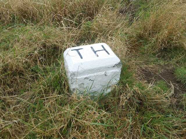
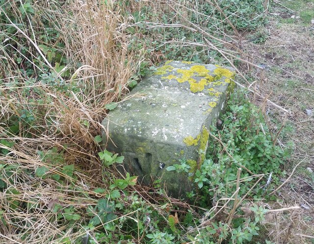
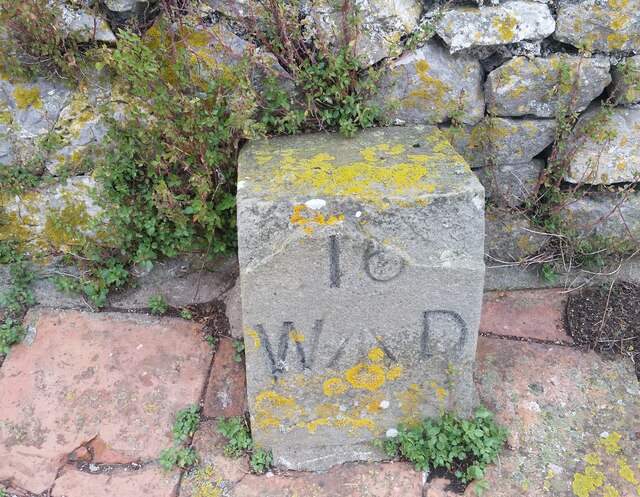
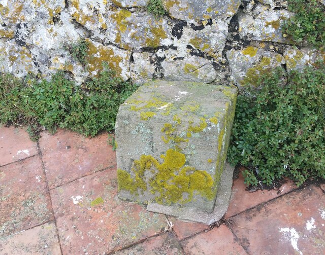
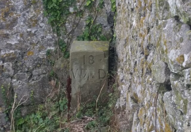
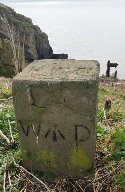
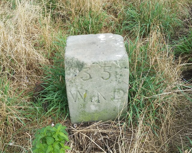
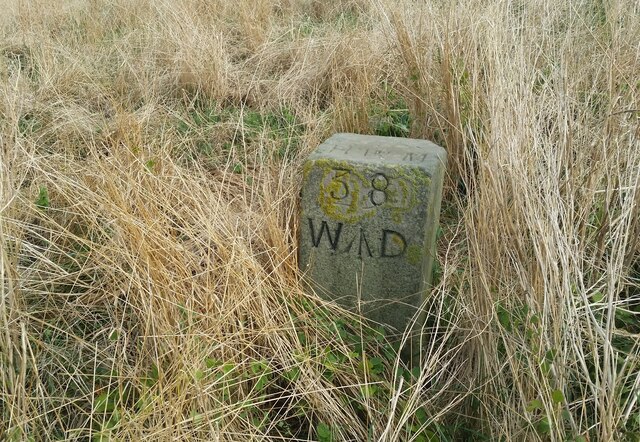
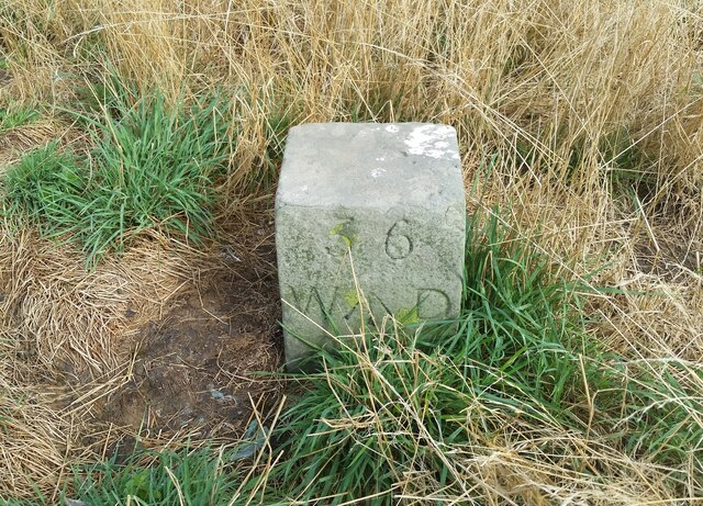
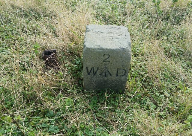
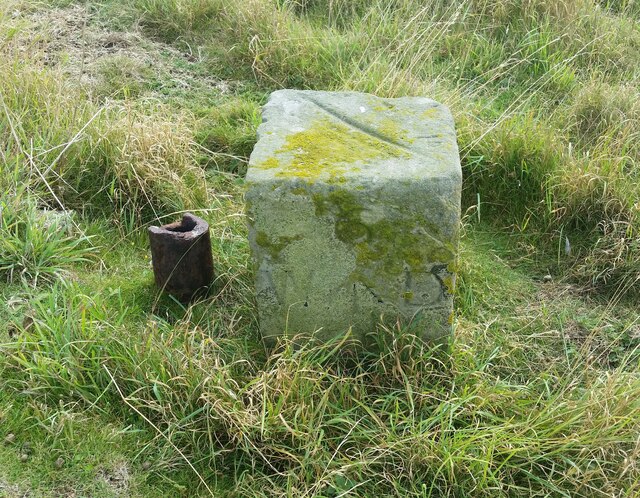
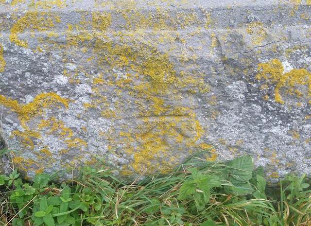
Flat Holm Nature Reserve Images
Images are sourced within 2km of 51.377584/-3.121121 or Grid Reference ST2264. Thanks to Geograph Open Source API. All images are credited.
Flat Holm Nature Reserve is located at Grid Ref: ST2264 (Lat: 51.377584, Lng: -3.121121)
Unitary Authority: Cardiff
Police Authority: South Wales
What 3 Words
///marsh.basic.sulked. Near Penarth, Vale of Glamorgan
Nearby Locations
Related Wikis
Flat Holm
Flat Holm (Welsh: Ynys Echni) is a Welsh island lying in the Bristol Channel approximately 6 km (4 mi) from Lavernock Point in the Vale of Glamorgan. It...

The Wolves (Bristol Channel)
The Wolves are three rocks just over a mile northwest of the island of Flat Holm in the Bristol Channel. They measure approximately 25 metres by 20 metres...
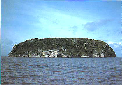
Steep Holm
Steep Holm (Welsh: Ynys Rhonech, Old English: Ronech and later Steopanreolice) is an English island lying in the Bristol Channel. The island covers 48...

Lavernock Battery
Lavernock Battery was built at Lavernock Point, Wales on the recommendations of the 1860 Royal Commission during the late 1860s to protect the ports of...
Nearby Amenities
Located within 500m of 51.377584,-3.121121Have you been to Flat Holm Nature Reserve?
Leave your review of Flat Holm Nature Reserve below (or comments, questions and feedback).