Lighthouse Point
Coastal Feature, Headland, Point in Glamorgan
Wales
Lighthouse Point
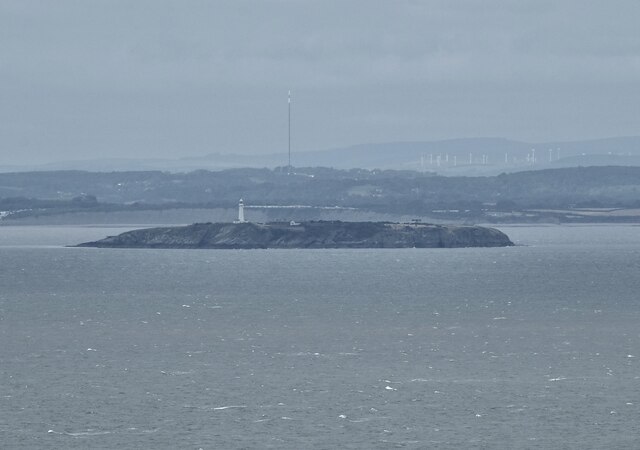
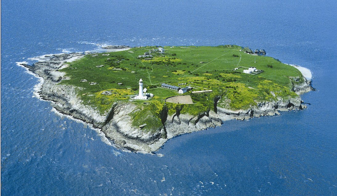
Lighthouse Point is a prominent coastal feature located in Glamorgan, Wales. It is a headland that stretches out into the Bristol Channel, offering breathtaking views of the surrounding landscape. The point is named after the lighthouse that stands proudly at its tip, guiding ships and boats through the treacherous waters.
The headland itself is composed of rugged cliffs, which add to its dramatic appeal. The cliffs are made up of various types of rock, including limestone and sandstone, which have been shaped over time by the relentless force of the ocean waves. Visitors to Lighthouse Point can witness firsthand the power of nature as they observe the waves crashing against the cliffs.
The lighthouse at Lighthouse Point is a significant landmark in the area. It was constructed in the 19th century and has been in operation ever since. The lighthouse stands tall and white against the backdrop of the sea, serving as a beacon of safety for ships navigating the waters. It is operated and maintained by the local authorities to ensure the safety of maritime traffic.
In addition to its natural beauty and historical significance, Lighthouse Point offers a range of activities for visitors to enjoy. The headland provides ample opportunities for hiking and exploring, with several trails that wind through the surrounding coastal landscape. It is also a popular spot for birdwatching, as the cliffs provide nesting sites for various seabirds.
Lighthouse Point in Glamorgan is a captivating coastal feature that combines natural beauty, historical importance, and recreational opportunities. Whether one is interested in immersing themselves in nature, learning about maritime history, or simply enjoying the stunning views, Lighthouse Point is a must-visit destination.
If you have any feedback on the listing, please let us know in the comments section below.
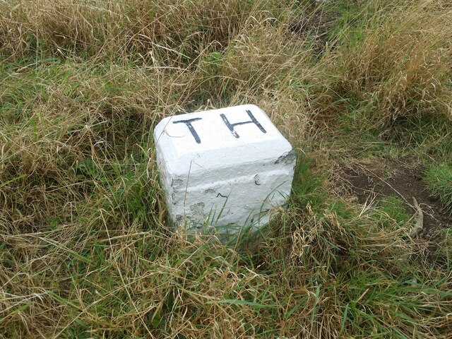
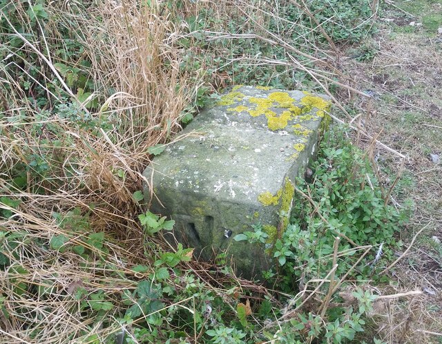
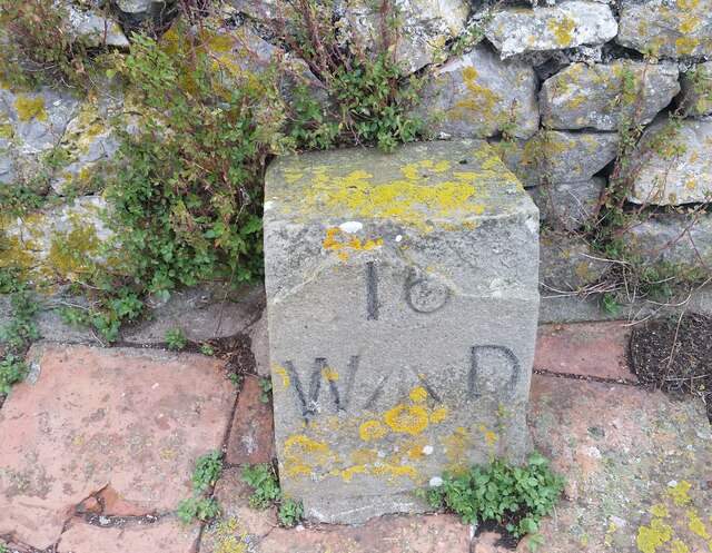
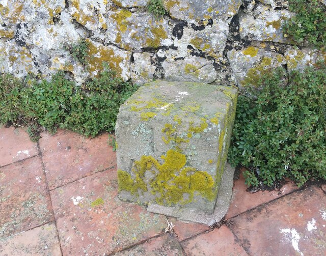
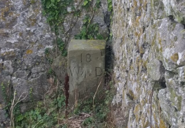
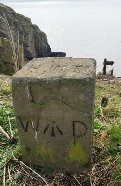
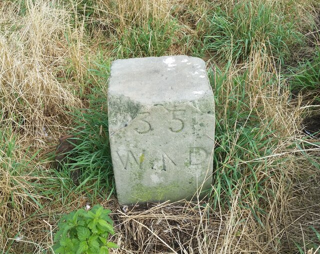
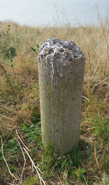
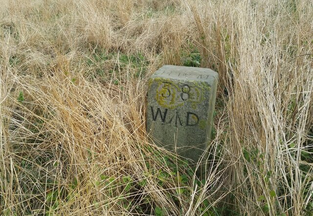
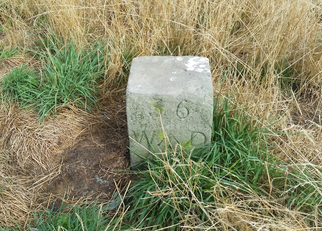
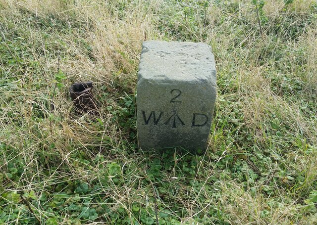
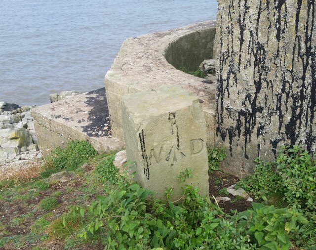
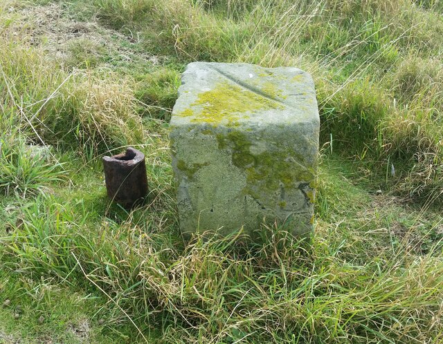
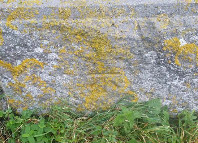
Lighthouse Point Images
Images are sourced within 2km of 51.375437/-3.1181088 or Grid Reference ST2264. Thanks to Geograph Open Source API. All images are credited.
Lighthouse Point is located at Grid Ref: ST2264 (Lat: 51.375437, Lng: -3.1181088)
Unitary Authority: Cardiff
Police Authority: South Wales
What 3 Words
///scoring.reshape.airbase. Near Penarth, Vale of Glamorgan
Nearby Locations
Related Wikis
Flat Holm
Flat Holm (Welsh: Ynys Echni) is a Welsh island lying in the Bristol Channel approximately 6 km (4 mi) from Lavernock Point in the Vale of Glamorgan. It...

The Wolves (Bristol Channel)
The Wolves are three rocks just over a mile northwest of the island of Flat Holm in the Bristol Channel. They measure approximately 25 metres by 20 metres...
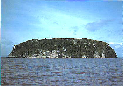
Steep Holm
Steep Holm (Welsh: Ynys Rhonech, Old English: Ronech and later Steopanreolice) is an English island lying in the Bristol Channel. The island covers 48...

Lavernock Battery
Lavernock Battery was built at Lavernock Point, Wales on the recommendations of the 1860 Royal Commission during the late 1860s to protect the ports of...
Nearby Amenities
Located within 500m of 51.375437,-3.1181088Have you been to Lighthouse Point?
Leave your review of Lighthouse Point below (or comments, questions and feedback).