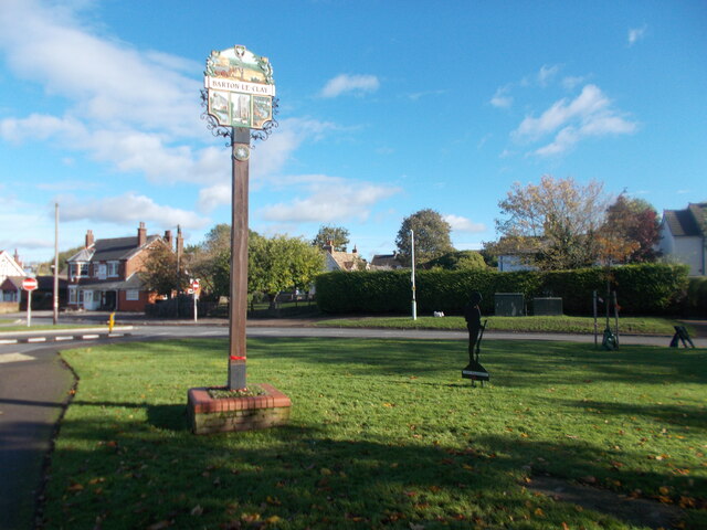
Barton-le-Clay
Settlement in Bedfordshire
England
Barton-le-Clay
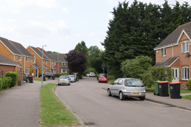
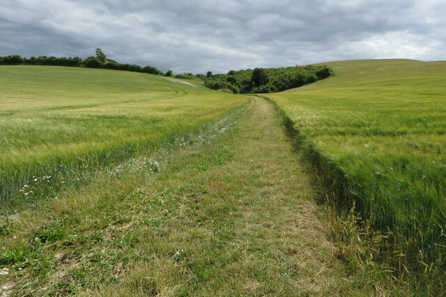
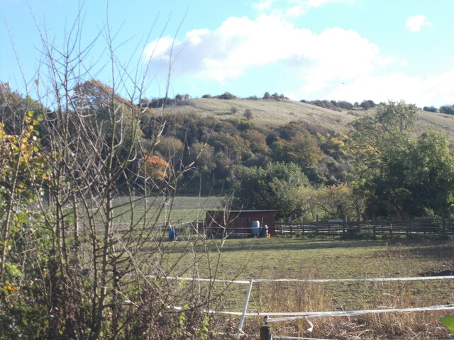
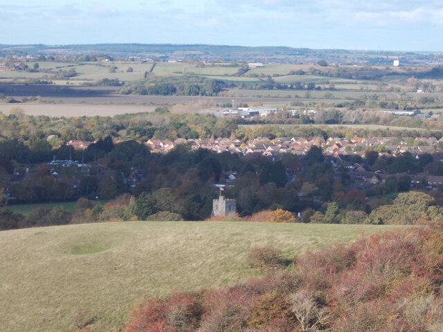
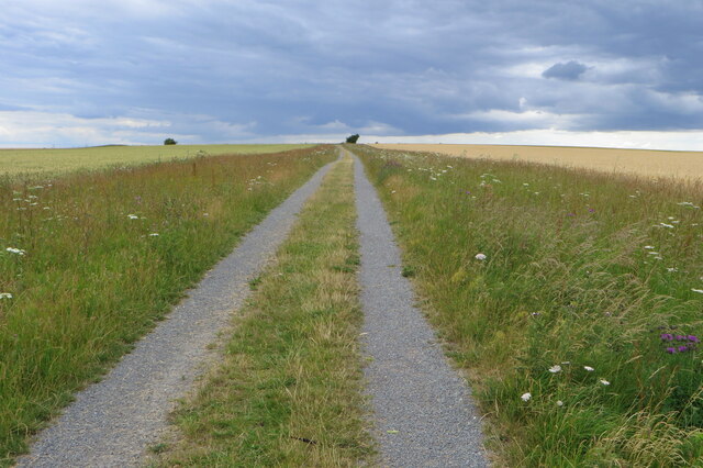
Barton-le-Clay is a small village located in the county of Bedfordshire, England. Situated approximately eight miles north-west of Luton, it falls within the Central Bedfordshire district. The village is nestled amidst picturesque rolling hills and offers a tranquil and rural setting.
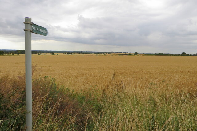
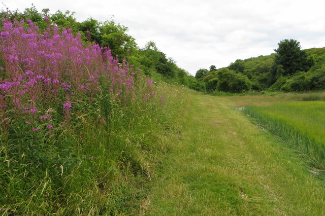
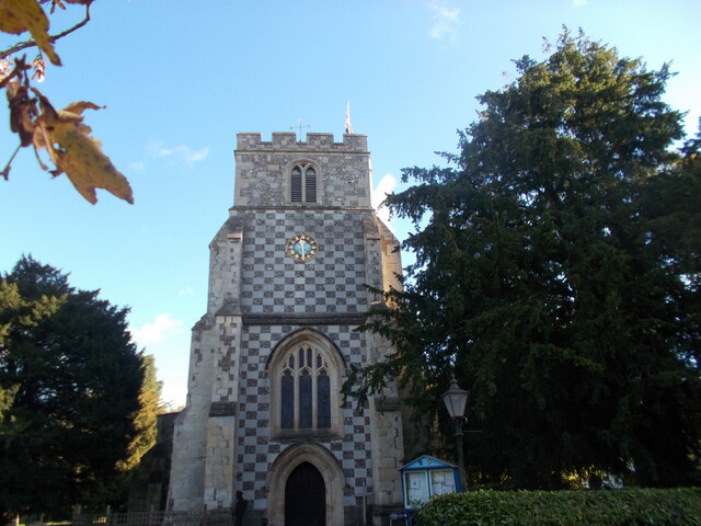
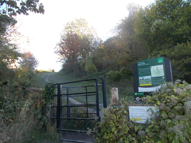
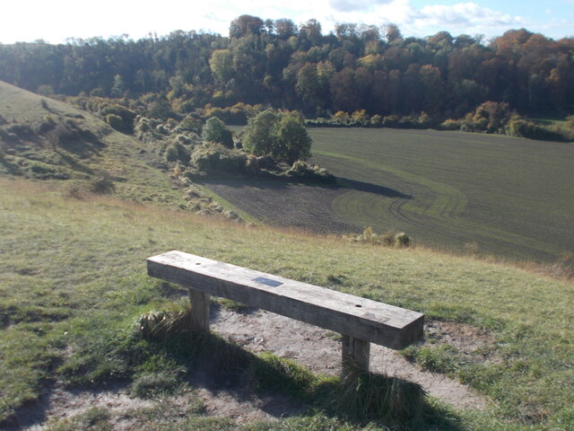
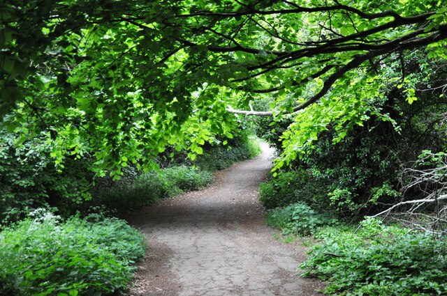
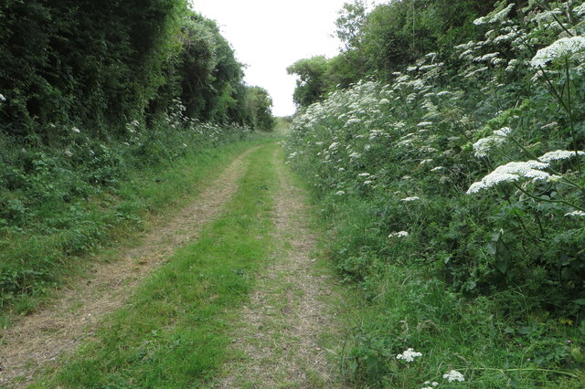
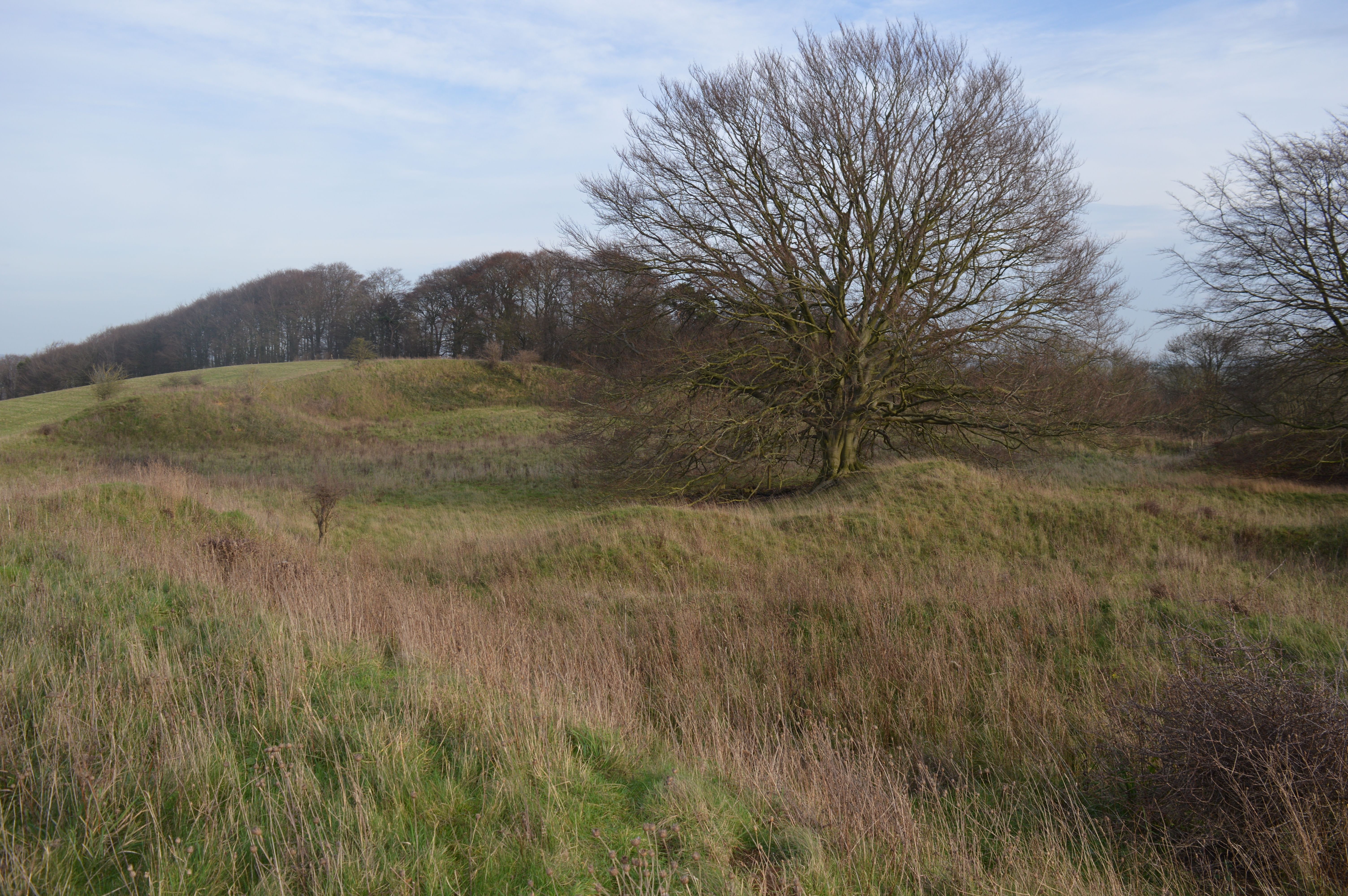
With a population of around 5,000 residents, Barton-le-Clay has a close-knit community feel. The village is known for its charming historic buildings, including the Grade I listed St. Nicholas Church, which dates back to the 13th century. Additionally, the Barton Hills National Nature Reserve, situated to the south-east of the village, provides ample opportunities for outdoor enthusiasts to explore and enjoy the natural beauty of the area.
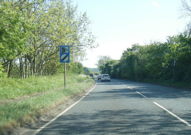
Barton-le-Clay offers a range of amenities to its residents, including a primary school, a post office, a few local shops, and a village hall. The proximity to nearby towns such as Luton and Bedford ensures that residents have access to a wider range of services and facilities. The village is also well-connected in terms of transportation, with regular bus services to nearby towns and good road links to the A6 and A507.
The surrounding countryside and rural charm make Barton-le-Clay an attractive place to live for those seeking a peaceful and idyllic setting. The village retains its historical character while offering a range of modern amenities, making it a desirable location for families and individuals alike.
If you have any feedback on the listing, please let us know in the comments section below.
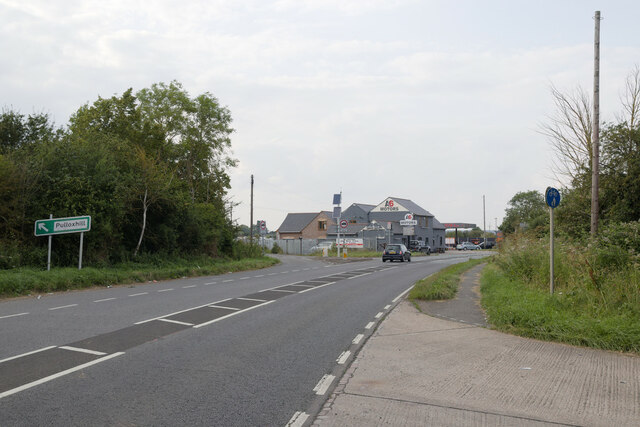
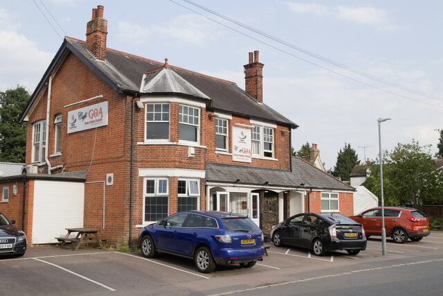
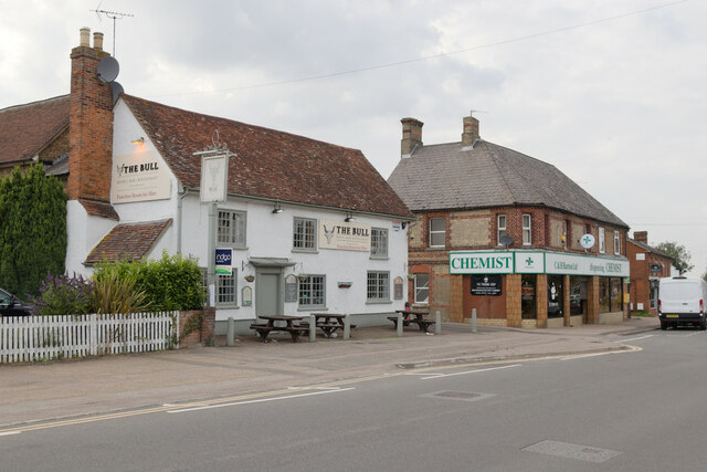
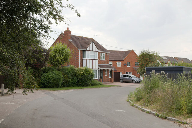
Barton-le-Clay Images
Images are sourced within 2km of 51.965933/-0.427229 or Grid Reference TL0830. Thanks to Geograph Open Source API. All images are credited.
Barton-le-Clay is located at Grid Ref: TL0830 (Lat: 51.965933, Lng: -0.427229)
Unitary Authority: Central Bedfordshire
Police Authority: Bedfordshire
What 3 Words
///cabbies.aimed.deeply. Near Barton-le-Clay, Bedfordshire
Nearby Locations
Related Wikis
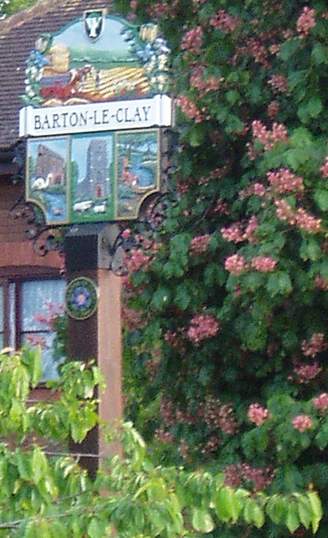
Barton-le-Clay
Barton-le-Clay is a large village and a civil parish in the Central Bedfordshire Borough in Bedfordshire, England, bordering Hertfordshire. The village...

Barton Rovers F.C.
Barton Rovers Football Club is a semi-professional football club based in Barton-le-Clay, Bedfordshire, England. The club are currently members of the...

Church of St Nicholas, Barton le Clay
Church of St Nicholas is a Grade I listed church in Barton le Clay, Bedfordshire, England. It became a listed building on 3 February 1967. == History... ==
Barton-Le-Clay Airfield
Barton-Le-Clay Airfield (Barton In The Clay Aerodrome) was first established in 1935 to the west of the village, on farmland owned by the nearby Brook...
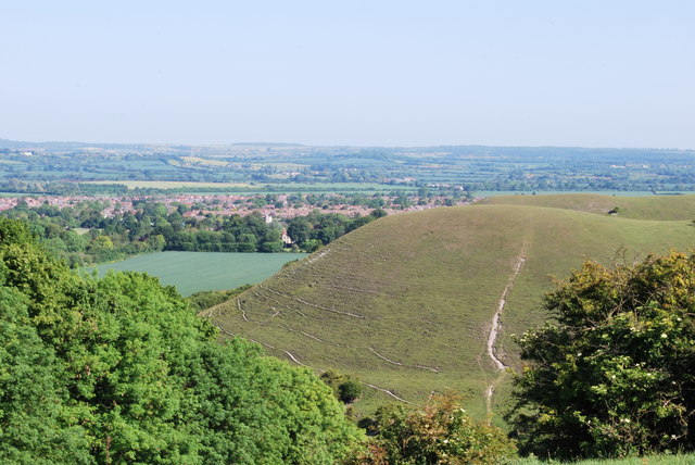
Barton Hills, Bedfordshire
Barton Hills are situated southeast of the village of Barton-le-Clay in the English county of Bedfordshire. They are part of the Chilterns and hiking...

Smithcombe, Sharpenhoe and Sundon Hills
Smithcombe, Sharpenhoe and Sundon Hills is an 86.1-hectare (213-acre) Site of Special Scientific Interest in Sharpenhoe in Bedfordshire. Most of it is...

Sharpenhoe
Sharpenhoe is a small village in Bedfordshire, England, at the foot of the hills known as the Sharpenhoe Clappers, which are within the Chilterns AONB...
Barton Gravel Pit
Barton Gravel Pit is a 1.1-hectare (2.7-acre) nature reserve east of Barton-le-Clay in Bedfordshire. It is managed by the Wildlife Trust for Bedfordshire...
Nearby Amenities
Located within 500m of 51.965933,-0.427229Have you been to Barton-le-Clay?
Leave your review of Barton-le-Clay below (or comments, questions and feedback).