Church End

Settlement in Bedfordshire

England

Church End

A6 junction for Pulloxhill
A6 junction for Pulloxhill Credit: Mark Anderson

Church End is a small village located in Bedfordshire, England. Situated approximately 5 miles south-east of the town of Bedford, it is part of the wider civil parish of Renhold. The village is predominantly residential, with a population of around 800 people.

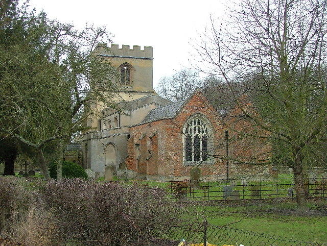
The focal point of Church End is the picturesque All Saints Church, a Grade I listed building dating back to the 13th century. This historic church is known for its impressive architecture, including a tower with a spire, and attracts visitors interested in its rich cultural heritage.

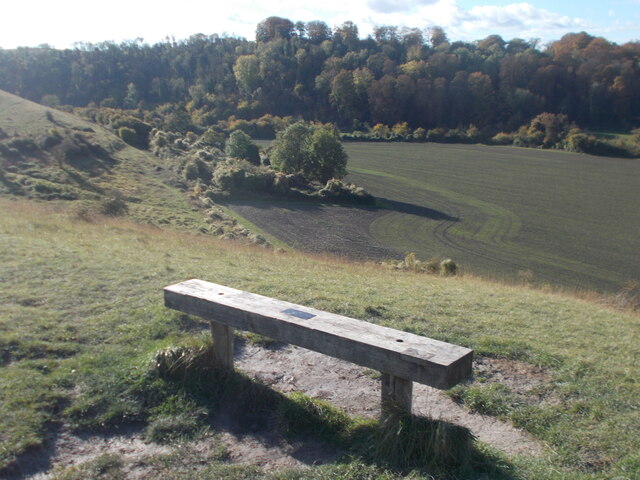
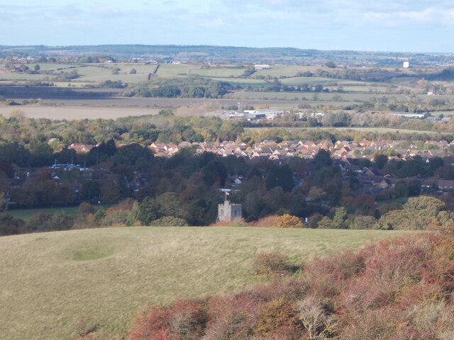
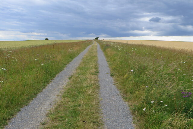
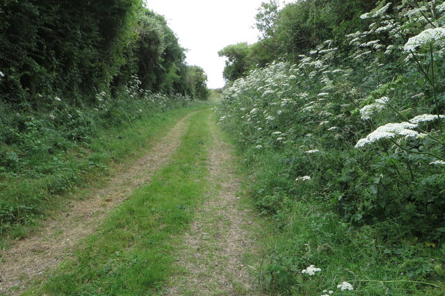
The village itself is characterized by its charming rural setting, with beautiful rolling hills and lush green fields surrounding the area. It exudes a peaceful and idyllic atmosphere, making it an appealing destination for those seeking a quiet retreat from the hustle and bustle of city life.

Despite its small size, Church End boasts a close-knit community, with a range of local amenities to serve its residents. These include a primary school, a village hall, and a local pub, which acts as a social hub for villagers.

Church End benefits from its proximity to the town of Bedford, where residents can access a wider range of amenities, including shopping centers, restaurants, and leisure facilities. It also enjoys good transport links, with easy access to major roads such as the A421 and A428, facilitating convenient travel to nearby towns and cities.

In conclusion, Church End is a charming and peaceful village in Bedfordshire, offering a picturesque setting and a strong sense of community. Its rich history, combined with its rural beauty, makes it an appealing place to live or visit for those seeking a tranquil and traditional English village experience.

If you have any feedback on the listing, please let us know in the comments section below.
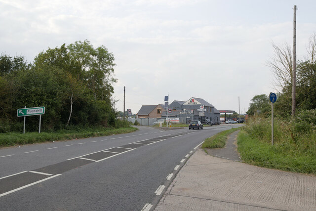
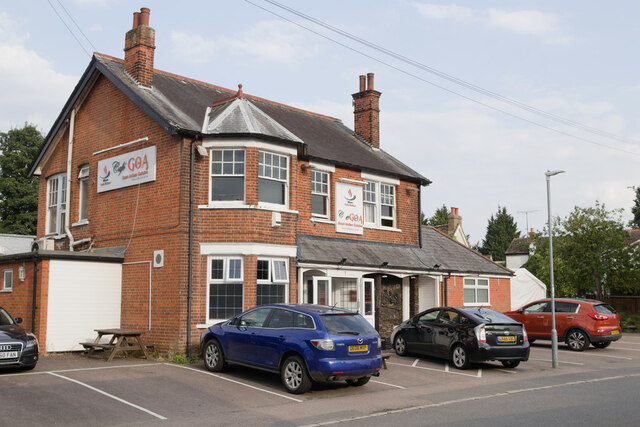
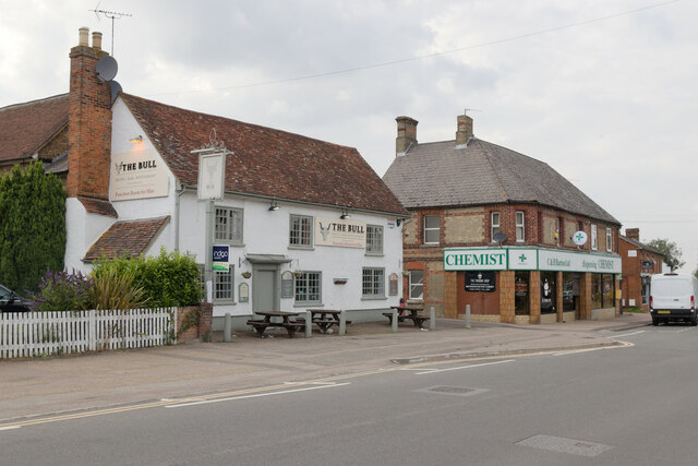
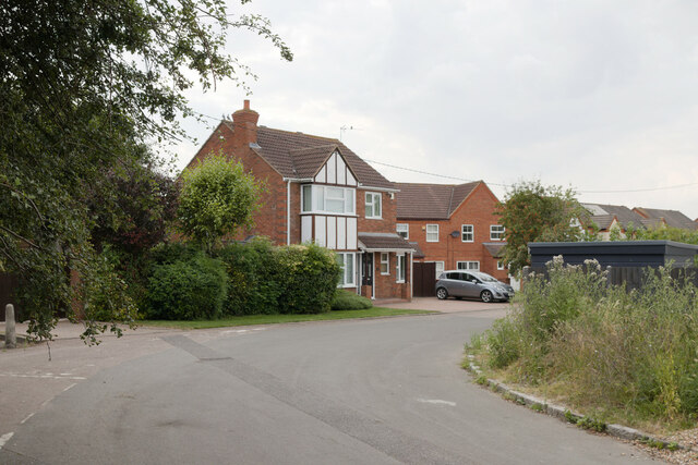
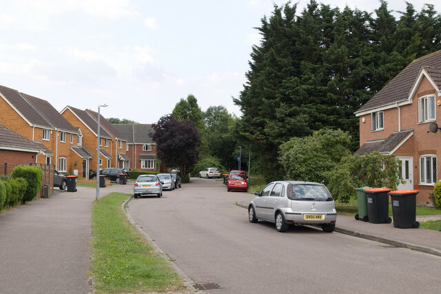
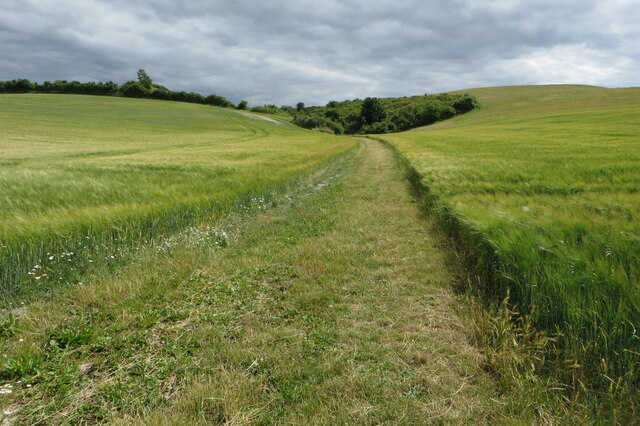
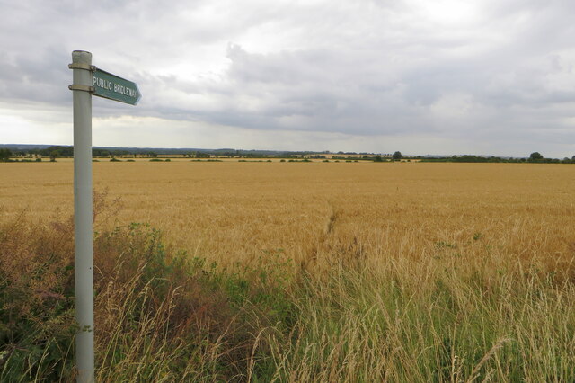
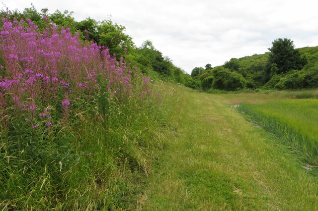
Church End Images

Images are sourced within 2km of 51.96289/-0.42234697 or Grid Reference TL0830. Thanks to Geograph Open Source API. All images are credited.

A6 junction for Pulloxhill
Cafe Goa Restaurant, Barton-le-Clay
The Bull public house, Barton-le-Clay
Houses on Mill Lane
Houses on Mill Lane
Houses on Brookend Drive
Bridleway going up the hill
Path through the barley At least on the map it is
Path through the barley
At least on the map it is
Wild flowers by the side of the bridleway
Barton-le-Clay village sign Barton-le-Clay is a village in Bedfordshire. More details on this link including a photo of the village sign ! <span class="nowrap"><a title="https://en.wikipedia.org/wiki/Barton-le-Clay" rel="nofollow ugc noopener" href="https://en.wikipedia.org/wiki/Barton-le-Clay">Link</a><img style="margin-left:2px;" alt="External link" title="External link - shift click to open in new window" src="https://s1.geograph.org.uk/img/external.png" width="10" height="10"/></span>
Barton-le-Clay village sign
Barton-le-Clay is a village in Bedfordshire. More details on this link including a photo of the village sign ! LinkExternal link
Church at Barton-le-Clay Chequer-board stonework is seen on the outer facade of the building.
Church at Barton-le-Clay
Chequer-board stonework is seen on the outer facade of the building.
Barton Hills in view from Barton-le-Clay A steady climb uphill leads away from the village which is soon seen below in retrospect.
Barton Hills in view from Barton-le-Clay
A steady climb uphill leads away from the village which is soon seen below in retrospect.
Gate and sign for Barton Hills Nature Reserve
Bench view with Sharpenhoe Clapper in the background Across the road divide of the Bartonhill cutting, the wooded hillfort of Sharpenhoe Clapper is seen on the distant horizon.
Bench view with Sharpenhoe Clapper in the background
Across the road divide of the Bartonhill cutting, the wooded hillfort of Sharpenhoe Clapper is seen on the distant horizon.
Church in sunshine among the trees A distant glimpse of the church at Barton-le-Clay from the Barton Hills.
Church in sunshine among the trees
A distant glimpse of the church at Barton-le-Clay from the Barton Hills.
St Faith's Church, Hexton. Also a community centre.
St Faith's Church, Hexton.
Also a community centre.
Hexton JMI School. Next to the church.  Does what it says on the tin.
Hexton JMI School.
Next to the church. Does what it says on the tin.
Bridleway to Barton Hills
Climbing up the bridleway
Show me another place!

Church End is located at Grid Ref: TL0830 (Lat: 51.96289, Lng: -0.42234697)

Unitary Authority: Central Bedfordshire

Police Authority: Bedfordshire

What 3 Words

///polygraph.opponent.sums. Near Barton-le-Clay, Bedfordshire

Related Wikis

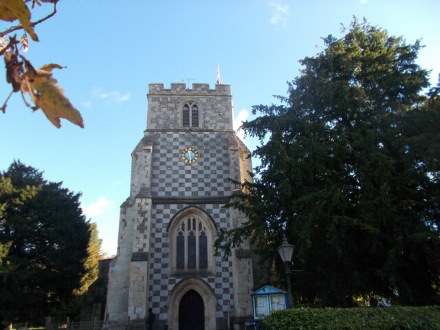
Church of St Nicholas, Barton le Clay

Church of St Nicholas is a Grade I listed church in Barton le Clay, Bedfordshire, England. It became a listed building on 3 February 1967. == History... ==
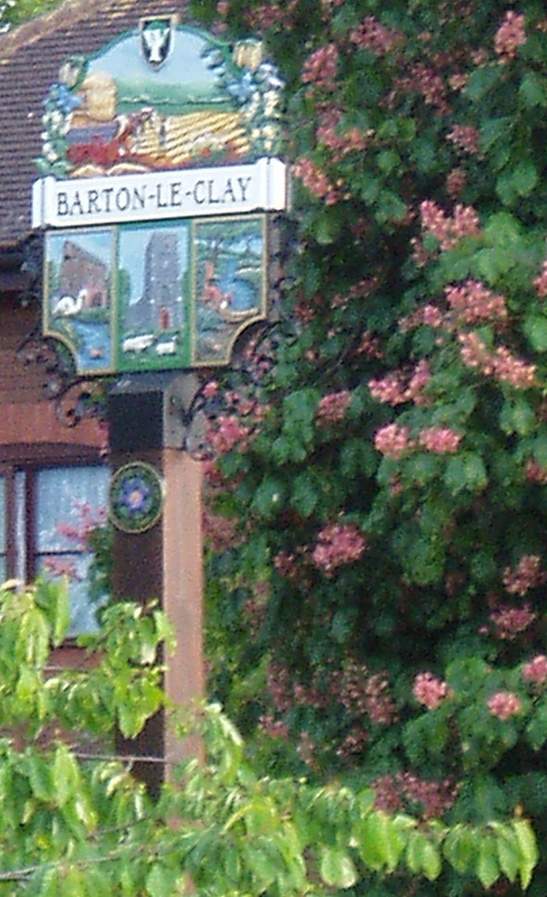
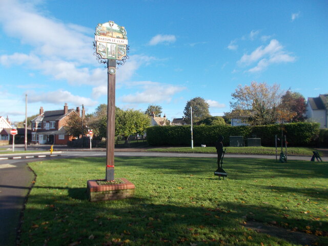
Barton-le-Clay

Barton-le-Clay is a large village and a civil parish in the Central Bedfordshire Borough in Bedfordshire, England, bordering Hertfordshire. The village...

Barton Rovers F.C.

Barton Rovers Football Club is a semi-professional football club based in Barton-le-Clay, Bedfordshire, England. The club are currently members of the...

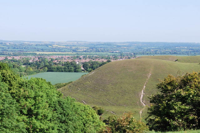
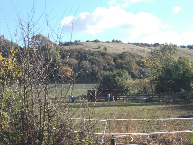
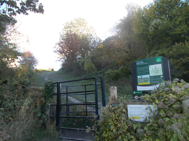
Barton Hills, Bedfordshire

Barton Hills are situated southeast of the village of Barton-le-Clay in the English county of Bedfordshire. They are part of the Chilterns and hiking...

Nearby Amenities

Located within 500m of 51.96289,-0.42234697
Mini Roundabout
Direction: clockwise
Lat/Long: 51.9659841/-0.4272279
Access: designated
Barrier: chicane
Bicycle: no
Foot: yes
Horse: no
Motor Vehicle: no
Source: GPS;survey
Lat/Long: 51.9613489/-0.4234604
Restaurant
Cafe Goa Goan Indian Restaurant
Addr City: Barton-le-Clay
Addr Country: GB
Addr Housenumber: 2
Addr Postcode: MK45 4JU
Addr Street: Bedford Road
Cuisine: thai
Fhrs Authority: Central Bedfordshire
Fhrs Id: 996108
Fhrs Local Authority Id: 163055
Source: Local Knowledge
Lat/Long: 51.9648143/-0.4264162
Pub
Royal Oak
Addr Postcode: MK45 4JX
Addr Street: Bedford Road
Source: Local Knowledge
Wikidata: Q26451809
Lat/Long: 51.9657877/-0.4273873
Turning Circle
Turning Circle: knuckle
Lat/Long: 51.9607031/-0.4279523
Church End
Place: locality
Source: OS_OpenData_StreetView
Lat/Long: 51.9626743/-0.4198109
Turning Circle
Turning Circle: hammer
Lat/Long: 51.9622704/-0.4266414
Entrance: yes
Lat/Long: 51.9638084/-0.4257472
Communication Mobile Phone: yes
Man Made: mast
Tower Type: communication
Lat/Long: 51.9637567/-0.4290315
Barton Rovers FC
Addr City: Barton-le-Clay
Addr Country: GB
Addr Postcode: MK45 4SD
Addr Street: Sharpenhoe Road
Fhrs Authority: Central Bedfordshire
Fhrs Id: 450244
Fhrs Local Authority Id: 15852
Leisure: sports_centre
Source: Local Knowledge
Sport: soccer
Wikidata: Q4865680
Lat/Long: 51.9647648/-0.4288464
Barrier: kissing_gate
Source: gps
Lat/Long: 51.9596822/-0.417362
Barrier: kissing_gate
Source: gps
Lat/Long: 51.9606201/-0.4179752
Post Box
Brand: Royal Mail
Brand Wikidata: Q638098
Brand Wikipedia: en:Royal Mail
Collection Times: Mo-Fr 16:15; Sa 10:00
Operator: Royal Mail
Operator Wikidata: Q638098
Post Box Type: lamp
Ref: MK45 207
Royal Cypher: EIIR
Royal Cypher Wikidata: Q33102113
Source: survey
Lat/Long: 51.9633216/-0.4260458
Access: yes
Barrier: kissing_gate
Bicycle: no
Foot: yes
Horse: no
Motor Vehicle: no
Note: RADAR gate
Source: GPS
Lat/Long: 51.9604882/-0.4219548
Barton Hills NNR
Tourism: information
Lat/Long: 51.9591116/-0.421926
Post Box
Brand: Royal Mail
Brand Wikidata: Q638098
Brand Wikipedia: en:Royal Mail
Operator: Royal Mail
Operator Wikidata: Q638098
Post Box Type: lamp
Lat/Long: 51.9648465/-0.420565
Turning Circle
Turning Circle: hammer
Lat/Long: 51.9650804/-0.4195857
Parking
Access: yes
Capacity: 20
Fee: no
Operator: Roadside, free parking
Surface: grass
Lat/Long: 51.9621258/-0.4254328
Barton Hills NNR Entrance
Information: board
Tourism: information
Lat/Long: 51.9591875/-0.4241008
Barton Hills Entrance
Leisure: park
Lat/Long: 51.9595802/-0.4261433
Yew Tree House
Addr City: Barton-le-Clay
Addr Country: GB
Addr Housenumber: 19
Addr Postcode: MK45 4JX
Addr Street: Bedford Road
Fhrs Authority: Central Bedfordshire
Fhrs Id: 1173511
Fhrs Local Authority Id: 92824
Tourism: guest_house
Lat/Long: 51.9652464/-0.4274985
Bar
Barton Bowls Club
Addr City: Barton-Le-Clay
Addr Country: GB
Addr Postcode: MK45 4SD
Addr Street: Sharpenhoe Road
Fhrs Authority: Central Bedfordshire
Fhrs Id: 654932
Fhrs Local Authority Id: 20455
Lat/Long: 51.9648151/-0.4276353
Turning Circle
Turning Circle: y-head
Lat/Long: 51.9605674/-0.4275477
Direction: 185
Generator Method: photovoltaic
Generator Output Electricity: yes
Generator Solar Modules: 20
Generator Source: solar
Generator Type: solar_photovoltaic_panel
Location: roof
Power: generator
Lat/Long: 51.9602889/-0.4274641
Direction: 185
Generator Method: photovoltaic
Generator Output Electricity: yes
Generator Solar Modules: 19
Generator Source: solar
Generator Type: solar_photovoltaic_panel
Location: roof
Power: generator
Lat/Long: 51.9602666/-0.4272977
Direction: 200
Generator Method: photovoltaic
Generator Output Electricity: yes
Generator Solar Modules: 16
Generator Source: solar
Generator Type: solar_photovoltaic_panel
Location: roof
Power: generator
Lat/Long: 51.9604549/-0.4269631
Turning Circle
Turning Circle: knuckle
Lat/Long: 51.9614146/-0.4285703
Turning Circle
Turning Circle: knuckle
Lat/Long: 51.9619832/-0.4274238
Give Way
Direction: forward
Lat/Long: 51.9633028/-0.4258316
Direction: 210
Generator Method: photovoltaic
Generator Output Electricity: yes
Generator Solar Modules: 10
Generator Source: solar
Generator Type: solar_photovoltaic_panel
Location: roof
Power: generator
Lat/Long: 51.9625997/-0.4281908
Traffic Calming: table
Lat/Long: 51.9634449/-0.4277931
Bus Stop
Bus: yes
Naptan AtcoCode: 021015002
Naptan NaptanCode: ahladwjp
Public Transport: platform
Lat/Long: 51.9640515/-0.4273641
Bus Stop
Bus: yes
Naptan AtcoCode: 021015003
Naptan NaptanCode: ahladwjt
Public Transport: platform
Shelter: yes
Lat/Long: 51.9642307/-0.4270687
Crossing
Crossing: marked
Lat/Long: 51.963672/-0.4261668
Direction: 225
Generator Method: photovoltaic
Generator Output Electricity: yes
Generator Solar Modules: 15
Generator Source: solar
Generator Type: solar_photovoltaic_panel
Location: roof
Power: generator
Lat/Long: 51.9626711/-0.4228319
Direction: 180
Generator Method: photovoltaic
Generator Output Electricity: yes
Generator Solar Modules: 11
Generator Source: solar
Generator Type: solar_photovoltaic_panel
Location: roof
Power: generator
Lat/Long: 51.9636423/-0.42089
Direction: 100
Generator Method: photovoltaic
Generator Output Electricity: yes
Generator Solar Modules: 20
Generator Source: solar
Generator Type: solar_photovoltaic_panel
Location: roof
Power: generator
Lat/Long: 51.9641536/-0.4206751
Generator Method: photovoltaic
Generator Output Electricity: yes
Generator Solar Modules: 75
Generator Source: solar
Generator Type: solar_photovoltaic_panel
Location: roof
Power: generator
Tilted: no
Lat/Long: 51.9632649/-0.4194219
Generator Method: photovoltaic
Generator Output Electricity: yes
Generator Solar Modules: 115
Generator Source: solar
Generator Type: solar_photovoltaic_panel
Location: roof
Power: generator
Tilted: no
Lat/Long: 51.9658556/-0.4192107
Direction: 190
Generator Method: photovoltaic
Generator Output Electricity: yes
Generator Solar Modules: 4
Generator Source: solar
Generator Type: solar_photovoltaic_panel
Location: roof
Power: generator
Lat/Long: 51.9656262/-0.4204452
Direction: 95
Generator Method: photovoltaic
Generator Output Electricity: yes
Generator Solar Modules: 14
Generator Source: solar
Generator Type: solar_photovoltaic_panel
Location: roof
Power: generator
Lat/Long: 51.9665525/-0.424331
Direction: 160
Generator Method: photovoltaic
Generator Output Electricity: yes
Generator Solar Modules: 14
Generator Source: solar
Generator Type: solar_photovoltaic_panel
Location: roof
Power: generator
Lat/Long: 51.9648019/-0.423177
Traffic Calming: island
Lat/Long: 51.9658575/-0.4271527
Traffic Calming: island
Lat/Long: 51.9659733/-0.4273371
Barrier: kissing_gate
Lat/Long: 51.9598196/-0.4175784
Barton Hills NNR
Information: board
Operator: Natural England
Tourism: information
Lat/Long: 51.9606028/-0.4180046
Defibrillator
Defibrillator Location: outside Barton Village Hall
Emergency: defibrillator
Indoor: no
Not Ref GB The Circuit: 06FE55A7-0C76-4558-B610-AF300114ED5F
Lat/Long: 51.9638173/-0.4257067
The data included in this document is from www.openstreetmap.org. The data is made available under ODbL.

Have you been to Church End?

Leave your review of Church End below (or comments, questions and feedback).