Church End

Settlement in Bedfordshire

England

Church End

Warehouse by the A421
Warehouse by the A421 Credit: Anthony Parkes

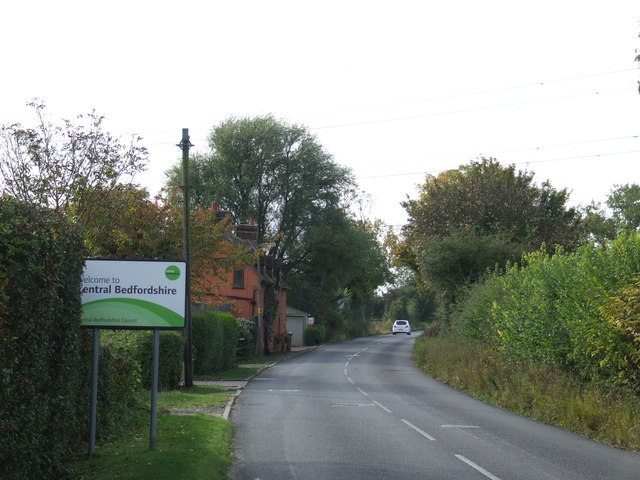
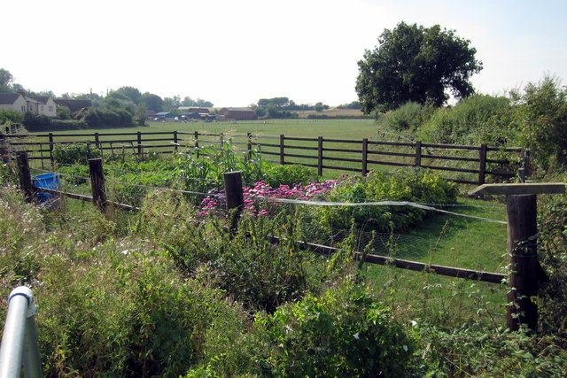
Church End is a small village located in the county of Bedfordshire, England. Situated approximately 6 miles to the north of the town of Bedford, it is a rural settlement that exudes a tranquil and idyllic atmosphere. The village is nestled amidst picturesque countryside, characterized by rolling hills, verdant pastures, and charming woodlands.

The focal point of Church End is its historic church, St. Mary's, which dates back to the 13th century. This beautiful medieval building is renowned for its striking architecture and houses several notable features, including a Norman font and an impressive stained glass window. The church serves as a gathering place for the local community and hosts regular religious services and special events.

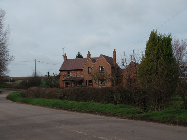
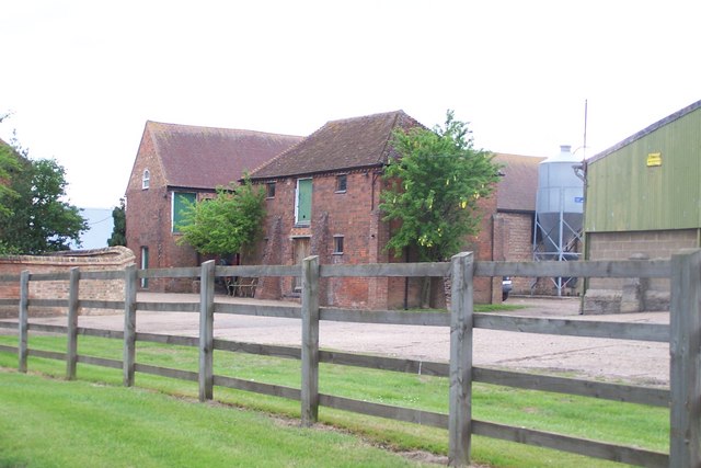
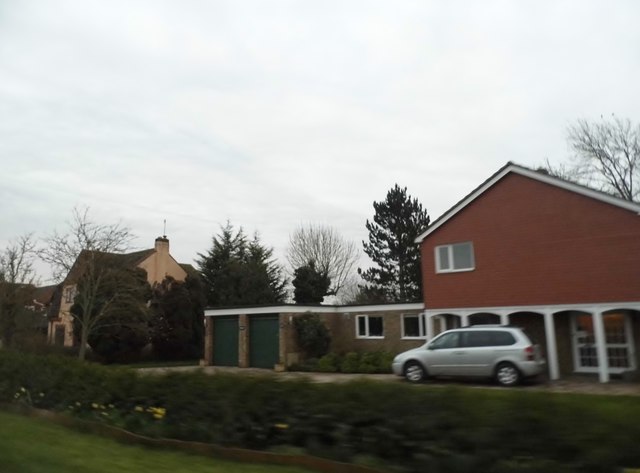
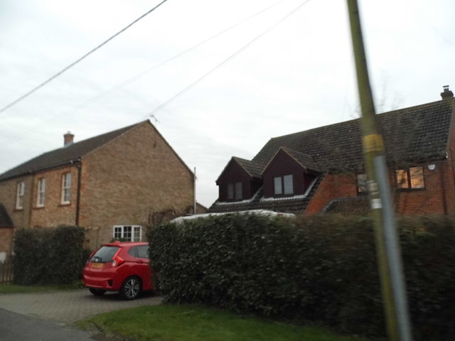
The village itself is characterized by a collection of traditional cottages and houses, many of which boast attractive thatched roofs and timber frames. These charming dwellings add to the village's quaint and timeless charm. The community in Church End is close-knit, with a strong sense of camaraderie and neighborliness.

Despite its small size, the village offers a range of amenities to its residents. These include a village hall, a primary school, and a local pub, providing a focal point for socializing and community events. The surrounding countryside offers numerous opportunities for outdoor activities, such as hiking, cycling, and horse riding.

Overall, Church End, Bedfordshire, is a peaceful and picturesque village that offers a delightful blend of historical charm and natural beauty.

If you have any feedback on the listing, please let us know in the comments section below.
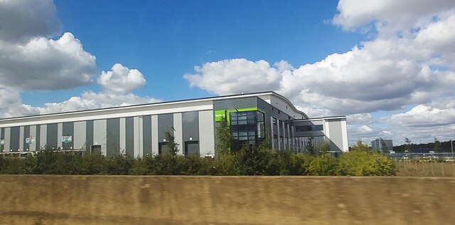
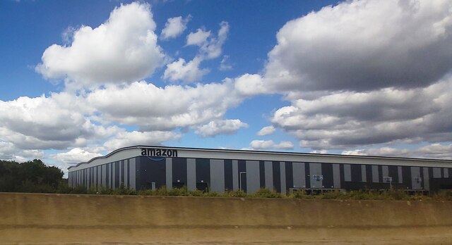
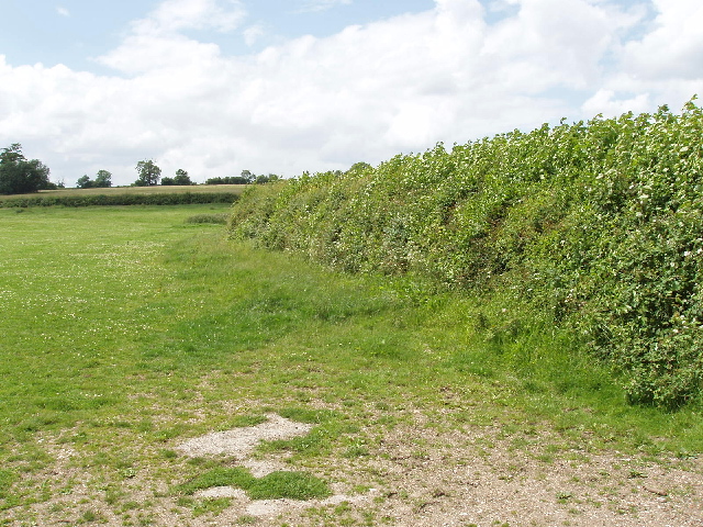
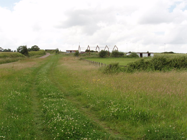
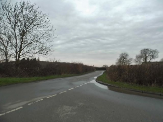
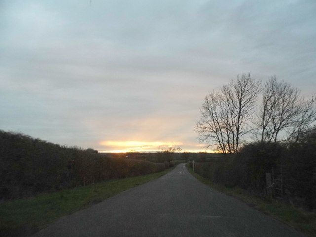
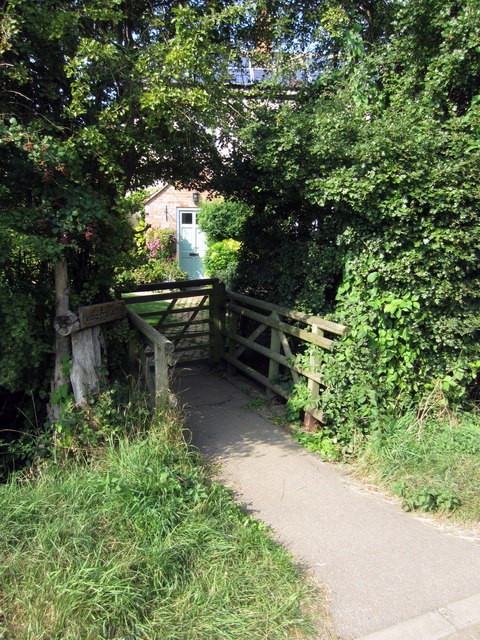
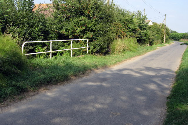
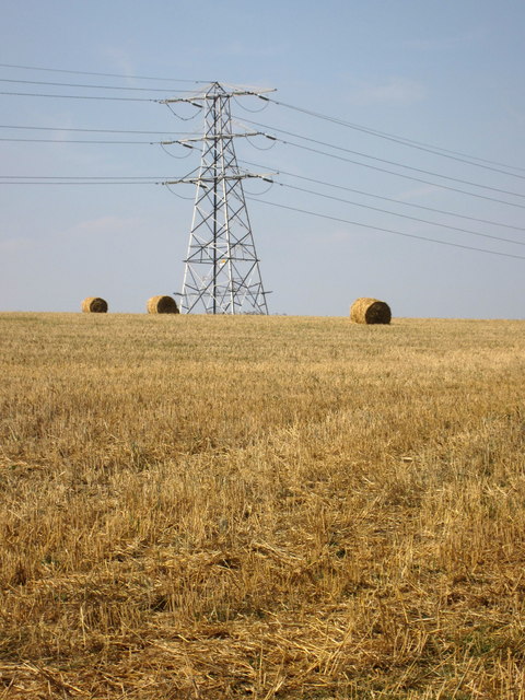
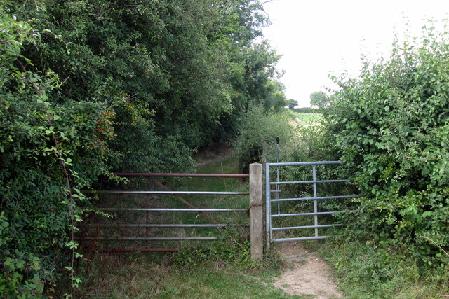
Church End Images

Images are sourced within 2km of 52.094509/-0.5339675 or Grid Reference TL0045. Thanks to Geograph Open Source API. All images are credited.

Warehouse by the A421
Amazon Warehouse by the A421
The Road to Bourne End A house along the road to Wootton Bourne End, near Wootton.
The Road to Bourne End
A house along the road to Wootton Bourne End, near Wootton.
Wootton Green Houses in Wootton Green.
Wootton Green
Houses in Wootton Green.
Farm Buildings Clearly older buildings set amongst modern
Farm Buildings
Clearly older buildings set amongst modern
Pasture and hedge, Hall End of Wootton A footpath runs up beside the hedge.
Pasture and hedge, Hall End of Wootton
A footpath runs up beside the hedge.
John Bunyan Trail at Hall End, Wootton The John Bunyan Trail is a 75 mile circular path through places associated with John Bunyan.
John Bunyan Trail at Hall End, Wootton
The John Bunyan Trail is a 75 mile circular path through places associated with John Bunyan.
Bourne End Road at the junction of Keeley Lane
Sunset over Keeley Lane, Wood End
Houses on Wood End Road For reasons unknown this whole road and a few nearby were not covered by Streetview.
Houses on Wood End Road
For reasons unknown this whole road and a few nearby were not covered by Streetview.
Houses on Wood End Road
Country road near Upper Shelton The sign indicates that the road crosses a local authority boundary here.
Country road near Upper Shelton
The sign indicates that the road crosses a local authority boundary here.
A fenced garden at the end of Keeley Lane
Wood End cottage
Wood End cottage
Stream crosses under Wood End Road
Pylon and straw by Whitworth's Farm
Bridleway by Wootton Woods
Dead tree on the path into Wootton
Show me another place!

Church End is located at Grid Ref: TL0045 (Lat: 52.094509, Lng: -0.5339675)

Unitary Authority: Bedford

Police Authority: Bedfordshire

What 3 Words

///ramps.roses.munch. Near Wootton, Bedfordshire

Related Wikis

Church of St Mary the Virgin, Wootton, Bedfordshire

Church of St Mary the Virgin is a Grade I listed church in Wootton, Bedfordshire, England. It became a listed building on July 13, 1964.The church is...

Wootton House

Wootton House is a late 17th-century country house in Wootton, Bedfordshire, England. It is a Grade II* listed building.The house is built to a rectangular...

Wootton Upper School

Wootton Upper School is an academy school located on Hall End Road, in Wootton, England. It teaches years 9–11 in compulsory education and years 12–13...

Wootton, Bedfordshire

Wootton is a large village and civil parish located to the southwest of Bedford, in the north of Bedfordshire, England. The parish also includes the hamlets...

Keeley Green

Keeley Green is a hamlet located in the Borough of Bedford in Bedfordshire, England. The settlement is situated directly to the north of the larger village...

Wood End, Bedfordshire

Wood End (or Kempston Wood End) is a small village located in the Borough of Bedford in Bedfordshire, England. The settlement was historically one of the...

Lower Shelton

Lower Shelton is a village in the civil parish of Marston Moreteyne in Bedfordshire, England. It is made of Lower Shelton Road, Stratford Way, The Rickyard...

Upper Shelton

Upper Shelton is a hamlet in the civil parish of Marston Moreteyne, in the Central Bedfordshire district of Bedfordshire, England. Upper Shelton contains...

Nearby Amenities

Located within 500m of 52.094509,-0.5339675
Mini Roundabout
Direction: clockwise
Lat/Long: 52.0942443/-0.5302926
Pub
The Cock Inn
Addr City: Wootton
Addr Country: GB
Addr Housenumber: 2
Addr Postcode: MK43 9JT
Addr Street: Bedford Road
Fhrs Authority: Bedford
Fhrs Id: 50249
Fhrs Local Authority Id: 111900
Lat/Long: 52.0943283/-0.5299905
Wootton
Is In: Bedfordshire
Place: village
Wikidata: Q1519568
Wikipedia: en:Wootton, Bedfordshire
Lat/Long: 52.0960512/-0.5305613
Fuel
Wootton Garage
Addr City: Wootton
Addr Country: GB
Addr Housenumber: 2
Addr Postcode: MK43 9JJ
Addr Street: Fields Road
Brand: Murco
Brand Wikidata: Q16998281
Fhrs Authority: Bedford
Fhrs Id: 111938
Fhrs Local Authority Id: 41233
Operator: murco
Lat/Long: 52.0940177/-0.5300701
Mini Roundabout
Direction: clockwise
Lat/Long: 52.0926636/-0.5280586
Church End
Place: locality
Source: OS 1:25k
Lat/Long: 52.0955907/-0.5365562
Causeway End
Place: locality
Source: OS 1:25k
Lat/Long: 52.0978431/-0.531984
Barrier: cycle_barrier
Lat/Long: 52.0948736/-0.5295477
Historic: memorial
Memorial: war_memorial
Source: Bing
Lat/Long: 52.0946219/-0.5343529
Post Box
Check Date: 2022-05-23
Ref: MK43 130
Royal Cypher: EIIR
Royal Cypher Wikidata: Q33102113
Source: Bing
Lat/Long: 52.0944179/-0.5338597
Barrier: kissing_gate
Lat/Long: 52.0910426/-0.5367031
Bus Stop
St Mary's Road
Bench: yes
Bin: yes
Bus: yes
Check Date Shelter: 2021-04-19
Naptan AtcoCode: 020036050
Naptan Bearing: NE
Naptan CommonName: St Mary's Road
Naptan Indicator: opp
Naptan Landmark: St Mary's Road
Naptan NaptanCode: bfsapdwt
Naptan Street: Cause End Road
Public Transport: platform
Shelter: yes
Source: naptan_import
Tactile Paving: yes
Lat/Long: 52.0965656/-0.5354519
Car Wash
Lat/Long: 52.0940029/-0.529732
Recycling
Lat/Long: 52.0945916/-0.531743
Mini Roundabout
Lat/Long: 52.0939704/-0.5307492
Little Wootton
Place: hamlet
Lat/Long: 52.0976543/-0.5388011
Traffic Calming: island
Lat/Long: 52.0930863/-0.5275794
Kindergarten
St Marys Playgroup
Addr City: Wootton
Addr Country: GB
Addr Postcode: MK43 9HF
Addr Street: St Marys Road
Fhrs Authority: Bedford
Fhrs Id: 760680
Fhrs Local Authority Id: 118942
Lat/Long: 52.0957612/-0.5344355
Addr Country: GB
Addr Housenumber: 3A
Addr Street: Church Road
Lat/Long: 52.0940994/-0.5325392
Defibrillator
Defibrillator Location: outside Wootton Village Hall
Emergency: defibrillator
Indoor: no
Lat/Long: 52.0943169/-0.5316502
The data included in this document is from www.openstreetmap.org. The data is made available under ODbL.

Have you been to Church End?

Leave your review of Church End below (or comments, questions and feedback).