Barton Waterside
Settlement in Lincolnshire
England
Barton Waterside

Barton Waterside is a small village located in the county of Lincolnshire, England. Situated on the banks of the River Humber, it is approximately 6 miles south of the town of Barton-upon-Humber. The village is nestled amidst the picturesque countryside, offering stunning views of the river and the surrounding nature.
Barton Waterside is known for its rich history, dating back to Roman times. The area was once a thriving port, serving as an important trading hub for goods coming in and out of Lincolnshire. Evidence of its maritime past can still be seen through the remnants of old quays and warehouses that line the riverfront.
Today, Barton Waterside is a peaceful and idyllic village, attracting visitors with its tranquil atmosphere and natural beauty. The village is home to a small community of residents who enjoy a close-knit and friendly environment. The local amenities include a charming village pub, a primary school, and a few shops catering to the daily needs of the residents.
The village also offers various recreational opportunities for outdoor enthusiasts. The river provides an ideal setting for boating, fishing, and leisurely walks along the water's edge. Barton Waterside is also surrounded by lush green fields and rolling hills, making it an excellent destination for hiking and exploring the countryside.
Overall, Barton Waterside is a hidden gem in Lincolnshire, offering a peaceful retreat from the hustle and bustle of city life. Its historical significance, natural beauty, and welcoming community make it an attractive place for both locals and visitors alike.
If you have any feedback on the listing, please let us know in the comments section below.
Barton Waterside Images
Images are sourced within 2km of 53.6959/-0.4439 or Grid Reference TA0223. Thanks to Geograph Open Source API. All images are credited.


Barton Waterside is located at Grid Ref: TA0223 (Lat: 53.6959, Lng: -0.4439)
Division: Parts of Lindsey
Unitary Authority: North Lincolnshire
Police Authority: Humberside
What 3 Words
///later.postcard.sparkles. Near Barton upon Humber, Lincolnshire
Nearby Locations
Related Wikis
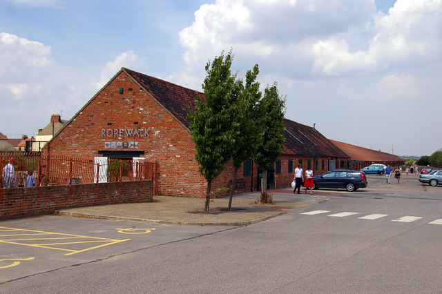
Ropewalk, Barton-upon-Humber
The Ropewalk, originally Halls' Barton Ropery is a former ropewalk in Barton-upon-Humber, North Lincolnshire, first built in 1767. It is a Grade II Listed...

Barton Waterside
Barton Waterside is a village in North Lincolnshire, England. It is in the civil parish of Barton-upon-Humber. Barton Waterside consists of the former...

Barton-on-Humber railway station
Barton-on-Humber railway station serves the town of Barton-upon-Humber in North Lincolnshire, England. The station, which was once the terminus of a 3...

51 Fleetgate
51 Fleetgate in Barton-upon-Humber is a Grade II* Listed building with parts dating back to the 14th century. It is considered to be the oldest surviving...
Barton Town F.C.
Barton Town Football Club is a football club based in Barton-upon-Humber, Lincolnshire, England. They are currently members of the Northern Counties East...
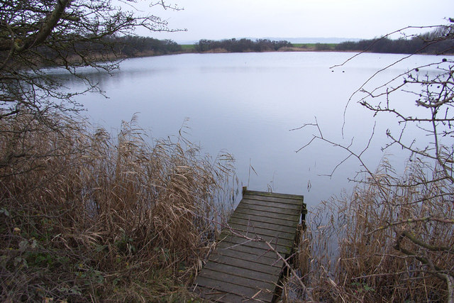
Far Ings National Nature Reserve
Far Ings national nature reserve is an area of over 90 ha (220 acres) on the southern shore of the Humber Estuary in North Lincolnshire, England. It is...
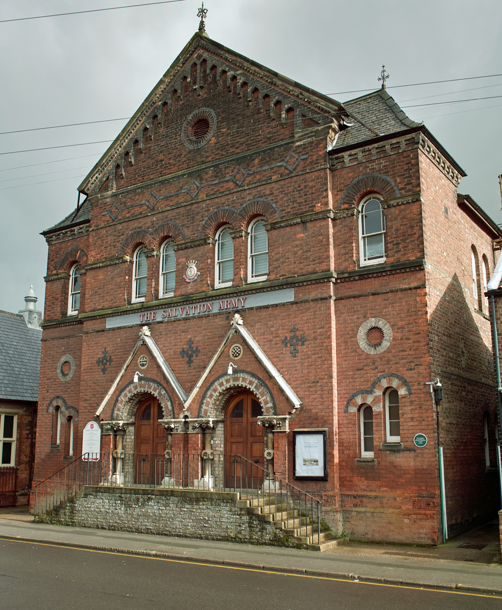
Salvation Army Citadel, Barton-upon-Humber
The Salvation Army Citadel is a Grade II Listed building in Barton-upon-Humber, North Lincolnshire, England. It was founded in 1867 by Joseph Wright as...

Barton-upon-Humber Assembly Rooms
The Barton-upon-Humber Assembly Rooms is a Grade II listed building in Barton-upon-Humber, North Lincolnshire, opened in 1843 as a Temperance Hall. �...
Nearby Amenities
Located within 500m of 53.6959,-0.4439Have you been to Barton Waterside?
Leave your review of Barton Waterside below (or comments, questions and feedback).