Barton-le-Street
Settlement in Yorkshire Ryedale
England
Barton-le-Street

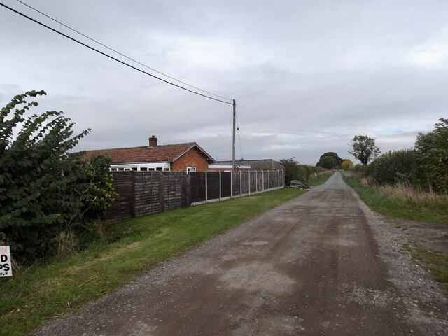
Barton-le-Street is a small village located in the Ryedale district of North Yorkshire, England. Situated approximately 5 miles east of the market town of Malton, it is nestled in the picturesque Howardian Hills Area of Outstanding Natural Beauty.
This rural village has a rich history dating back to Roman times, with evidence of their occupation found in the nearby area. The name "Barton-le-Street" originates from the Old English words "bere-tun" and "straet," meaning "barley farm by the Roman road." The village's charming architecture showcases a mix of traditional stone-built houses and cottages, adding to its quintessential English countryside appeal.
Despite its small size, Barton-le-Street is home to the historic St. Michael's Church, which dates back to the 12th century. The church, renowned for its Norman tower, features beautiful stained glass windows and is frequented by visitors interested in its architectural and historical significance.
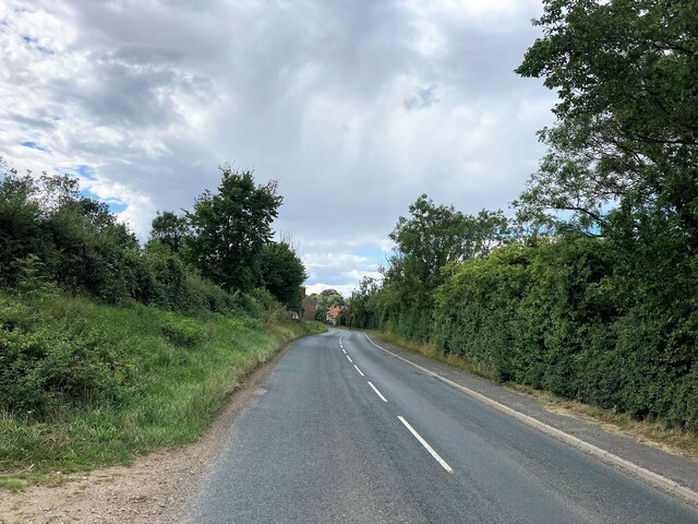
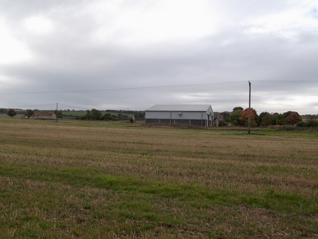
The village is surrounded by stunning landscapes, providing ample opportunities for outdoor activities such as hiking and cycling. The nearby Howardian Hills offer breathtaking views of rolling countryside, woodland, and picturesque villages, making it a popular destination for nature enthusiasts and photographers.
Though Barton-le-Street lacks amenities such as shops and pubs, its close proximity to Malton ensures that residents have easy access to a range of facilities, including schools, supermarkets, and healthcare services.
Overall, Barton-le-Street is a charming village that offers a peaceful and idyllic lifestyle, with its rich history, beautiful surroundings, and convenient location.
If you have any feedback on the listing, please let us know in the comments section below.
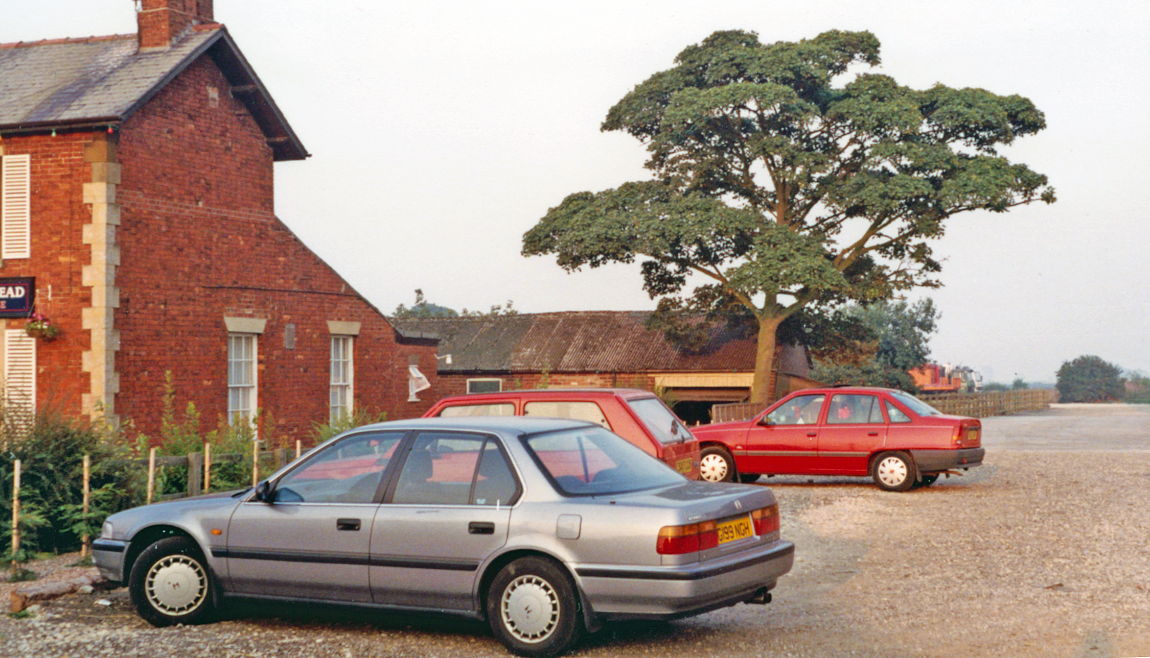
Barton-le-Street Images
Images are sourced within 2km of 54.159726/-0.895854 or Grid Reference SE7274. Thanks to Geograph Open Source API. All images are credited.


Barton-le-Street is located at Grid Ref: SE7274 (Lat: 54.159726, Lng: -0.895854)
Division: North Riding
Administrative County: North Yorkshire
District: Ryedale
Police Authority: North Yorkshire
What 3 Words
///including.zooms.suppers. Near Malton, North Yorkshire
Nearby Locations
Related Wikis

Barton-le-Street
Barton-le-Street is a village and civil parish in North Yorkshire, England. According to the 2001 census the parish had a population of 186 reducing to...
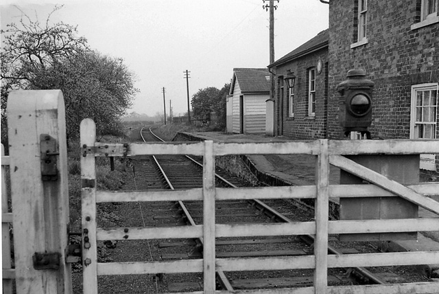
Barton le Street railway station
Barton le Street railway station, served the village of Barton le Street, in North Yorkshire, England. It was located on the Thirsk and Malton railway...

Appleton-le-Street
Appleton-le-Street is a small village and in the Ryedale district of North Yorkshire, England. It is approximately 3 miles (5 km) west of Malton and in...

Appleton-le-Street with Easthorpe
Appleton-le-Street with Easthorpe is a civil parish in North Yorkshire, England, consisting of Appleton-le-Street and Easthorpe. The parish contained the...

Slingsby, North Yorkshire
Slingsby is a village and civil parish in North Yorkshire, England. It is about 6 miles (10 km) west of Malton on the B1257 road. According to the 2001...

Slingsby railway station
Slingsby railway station is a disused railway station that served the village of Slingsby in North Yorkshire, England. It was built on the orders of the...
Amotherby railway station
Amotherby railway station served the village of Amotherby in the Northern English county of North Yorkshire. It was located on a local line which ran...

Amotherby
Amotherby is a village and civil parish in North Yorkshire, England. It is about 3 miles (4.8 km) west of Malton. == Description == The village appears...
Nearby Amenities
Located within 500m of 54.159726,-0.895854Have you been to Barton-le-Street?
Leave your review of Barton-le-Street below (or comments, questions and feedback).