Trenance Rock
Island in Cornwall
England
Trenance Rock
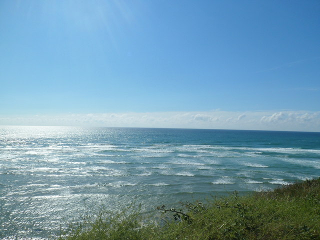
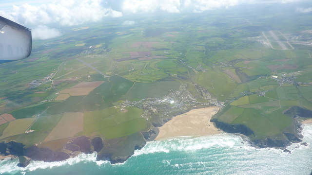
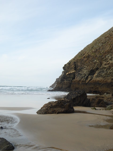
Trenance Rock is a small island located in Cornwall, England. Situated off the coast of Newquay, it is a notable landmark in the area and holds historical significance. The island is accessible during low tide, when a natural causeway is exposed, but becomes completely cut off during high tide.
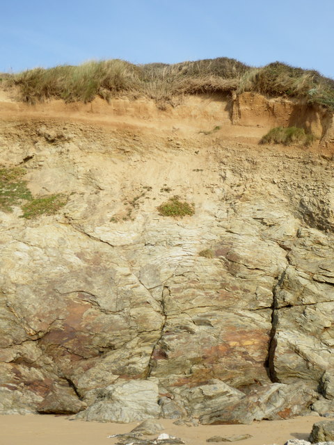
Trenance Rock is composed of rugged granite and is approximately 50 meters in diameter. The island is covered in lush green vegetation, including grasses and wildflowers, and is home to various seabirds, such as gulls and cormorants, which nest on its rocky slopes. The surrounding waters are teeming with marine life, making it a popular spot for divers and snorkelers.
The island has a rich history, with evidence of human activity dating back to the Bronze Age. It is believed to have been used as a lookout point for coastal defenses during the Roman occupation of Britain. In more recent times, Trenance Rock served as a navigational aid for ships entering the Newquay harbor.
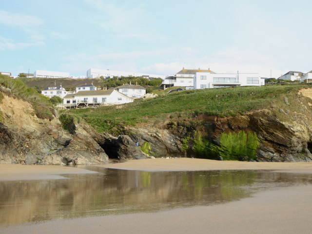
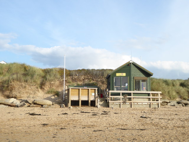
Today, Trenance Rock is a popular destination for tourists and locals alike. Visitors can explore the island's rugged terrain, enjoy panoramic views of the coastline, or simply relax on the sandy beach that emerges during low tide. However, it is important for visitors to be aware of the tide times to avoid being stranded on the island when the causeway disappears underwater.
If you have any feedback on the listing, please let us know in the comments section below.
Trenance Rock Images
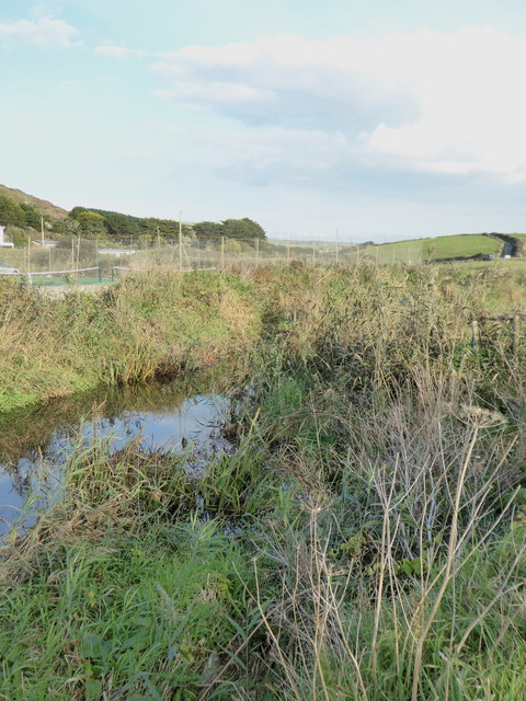
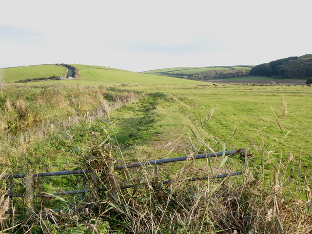
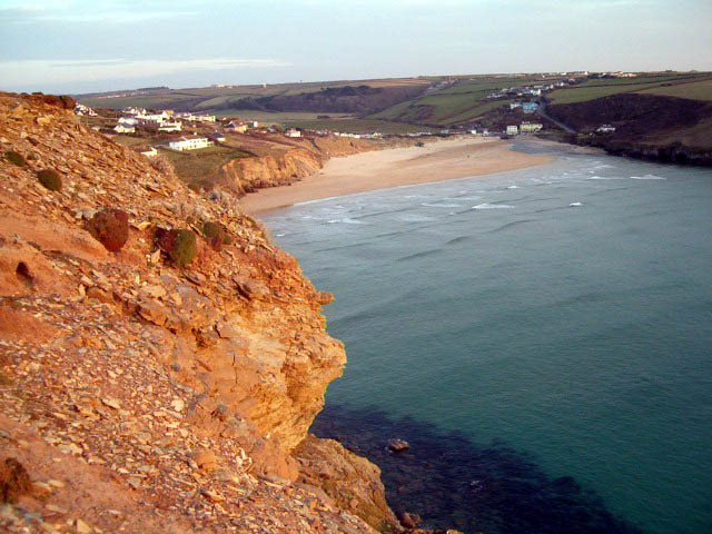
Images are sourced within 2km of 50.471805/-5.0372052 or Grid Reference SW8467. Thanks to Geograph Open Source API. All images are credited.
Trenance Rock is located at Grid Ref: SW8467 (Lat: 50.471805, Lng: -5.0372052)
Unitary Authority: Cornwall
Police Authority: Devon and Cornwall
What 3 Words
///tastings.shot.artist. Near Newquay, Cornwall
Nearby Locations
Related Wikis

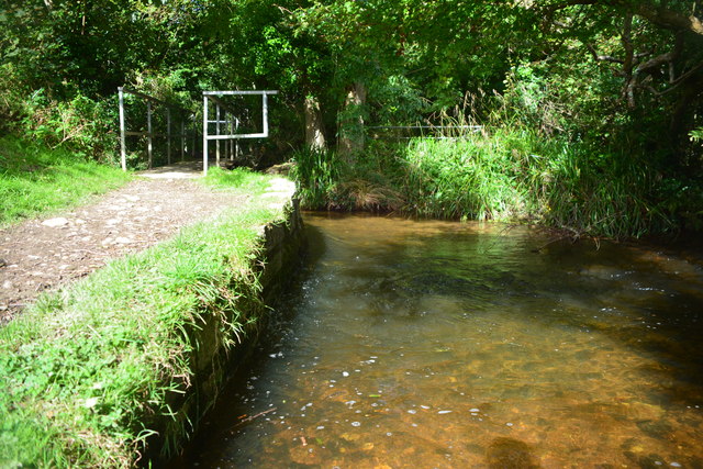
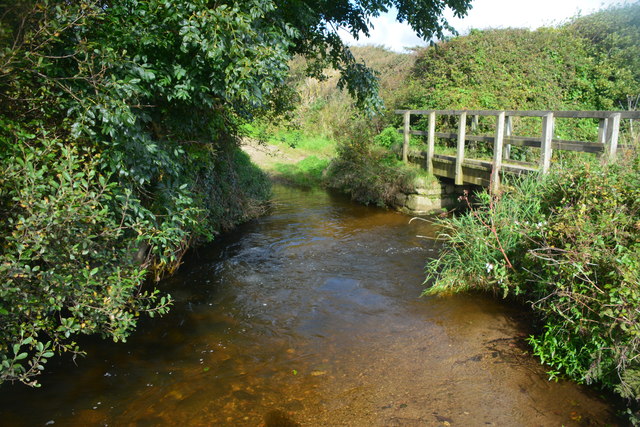
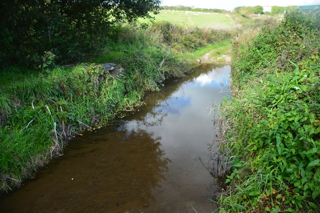
River Menalhyl
The River Menalhyl (Cornish: Dowr Melynheyl, meaning river of the estuary mill) is a river in Cornwall, England, that flows through the civil parishes...

St Columb Canal
St Columb Canal sometimes referred to as Edyvean's Canal, was an abortive canal scheme in Cornwall, England, designed for the carriage of sea sand for...
Mawgan Porth
Mawgan Porth (in Cornish: Porth Maugan, meaning "St. Mawgan's cove", or Porth Glyvyan, meaning "cove of the Gluvian River") is a beach and small settlement...

Trenance
Trenance (Cornish: Trenans) is a hamlet adjoining Mawgan Porth in Cornwall, England, United Kingdom. Trenance Point is a headland nearby.There are also...

Watergate Bay
Watergate Bay (Standard Written Form: Porth Tregoryan, meaning cove at Coryan's farmstead/village) is a long bay or beach flanked by cliffs centred two...
Trevarrian
Trevarrian pronounced (Tre-Varrion) is a hamlet south of Mawgan Porth, Cornwall, England, United Kingdom. == Cheese == St. Endellion is a brie style cheese...

Carnewas and Bedruthan Steps
Carnewas and Bedruthan Steps (Cornish: Karn Havos, meaning "rock-pile of summer dwelling" and Cornish: Bos Rudhen, meaning "Red-one's dwelling") is a stretch...

Downhill, Cornwall
Downhill is a hamlet in the parish of St Eval, Cornwall, England. == References ==
Related Videos

BEDRUTHAN, CORNWALL Dramatic Coastline and fabulous views walking from Bedruthan to Porthmear beach
We park at Bedruthan National Trust car park and follow a walk from the AA 50 walks in Cornwall: Giant steps and stacks at ...

Inside 'Hollywood-on-Sea' Celebs ruin coastal village with McMansions, forcing locals out!
With rumours of Hollywood stars moving to a sleepy, seaside village on the north coast of Cornwall we wanted to take a look for ...

VACATION IN CORNWALL | Bedruthan Steps | Wedding Anniversary #lmarievita #vacation #cornwall
Family vacation at the Bedruthan steps for a week. I didn't film every aspect of our stay, but I've gathered some footage to share ...

Blown away! A coastal walk as Storm Arwen approaches Mawgan Porth near Newquay, Cornwall
Due to a copyright claim, we have had to remove our titles and music, both at the beginning and end of this video. Apologies if it ...
Nearby Amenities
Located within 500m of 50.471805,-5.0372052Have you been to Trenance Rock?
Leave your review of Trenance Rock below (or comments, questions and feedback).