Mawgan Porth
Bay in Cornwall
England
Mawgan Porth
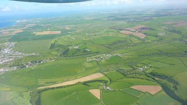
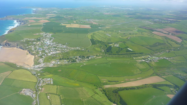
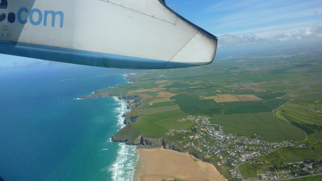
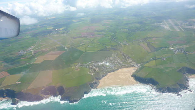
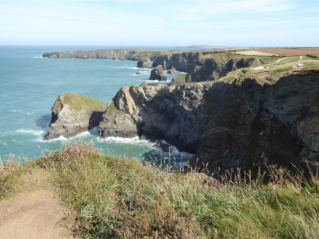
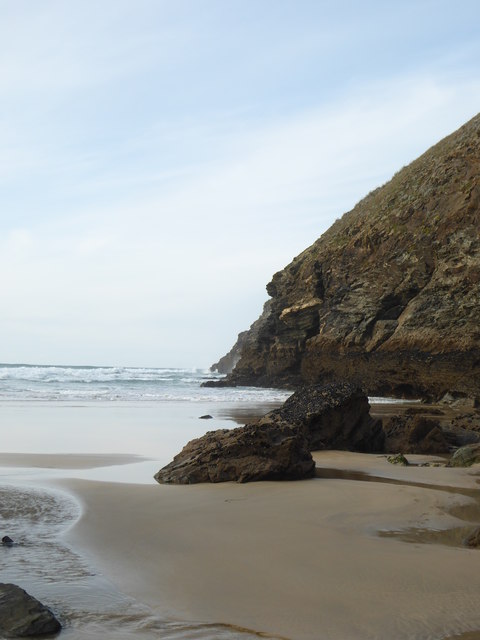
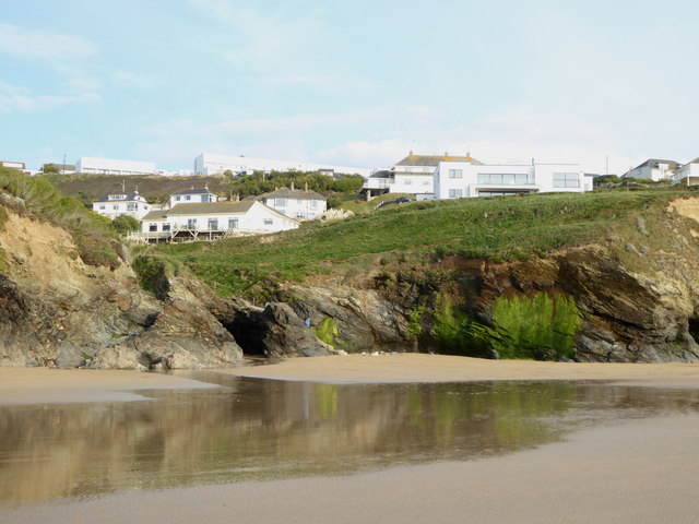
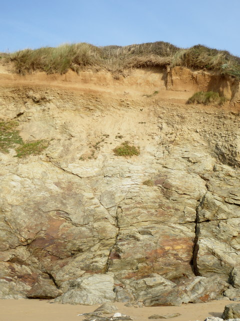
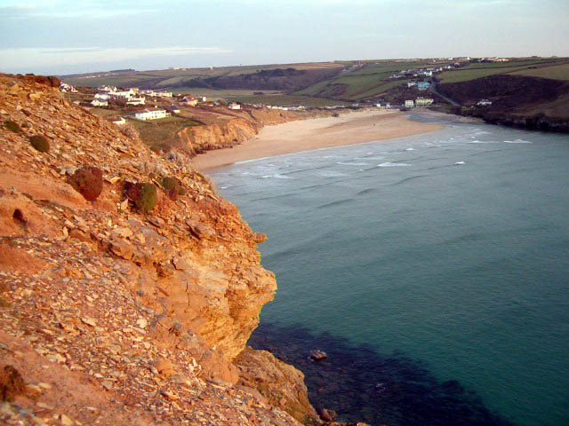
Mawgan Porth is a picturesque bay located on the north coast of Cornwall, England. Situated between the popular towns of Newquay and Padstow, it is a well-known destination for locals and tourists alike. The bay is surrounded by stunning cliffs and offers breathtaking views of the Atlantic Ocean.
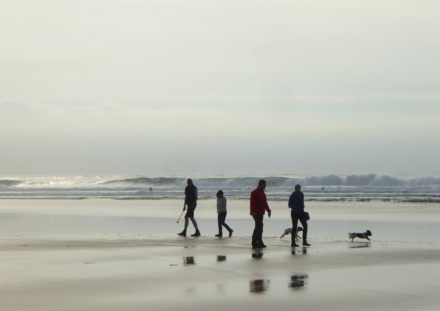
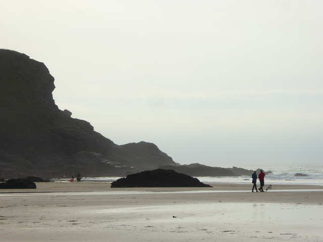
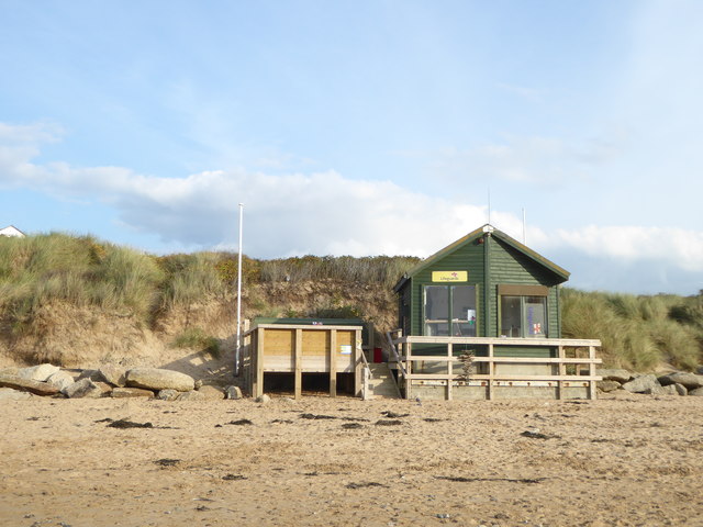
The beach at Mawgan Porth is a wide stretch of golden sand, perfect for long walks and sunbathing. It is a popular spot for families, as there are lifeguards on duty during the summer months, ensuring the safety of swimmers and surfers. The waves at Mawgan Porth are ideal for surfing, attracting both beginners and experienced surfers who come to catch the perfect wave.
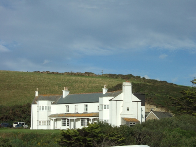
There are various amenities available at Mawgan Porth, including a range of accommodation options such as hotels, holiday cottages, and campsites. The bay also boasts a selection of cafes, restaurants, and shops, providing visitors with everything they need for a comfortable stay.
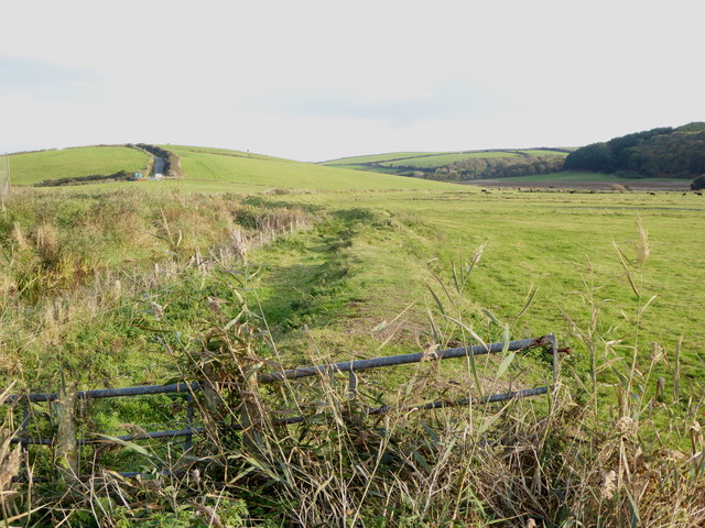
For those who enjoy exploring nature, Mawgan Porth is surrounded by stunning coastal walks, offering breathtaking views of the rugged cliffs and the turquoise waters below. Additionally, the bay is home to a diverse range of wildlife, including seabirds and marine creatures, making it a great location for birdwatching and wildlife enthusiasts.
Overall, Mawgan Porth is a charming and picturesque bay that offers a beautiful beach, excellent surfing conditions, and a range of amenities for visitors to enjoy. Its stunning natural surroundings and diverse wildlife make it a popular destination for those seeking a peaceful and scenic getaway in Cornwall.
If you have any feedback on the listing, please let us know in the comments section below.
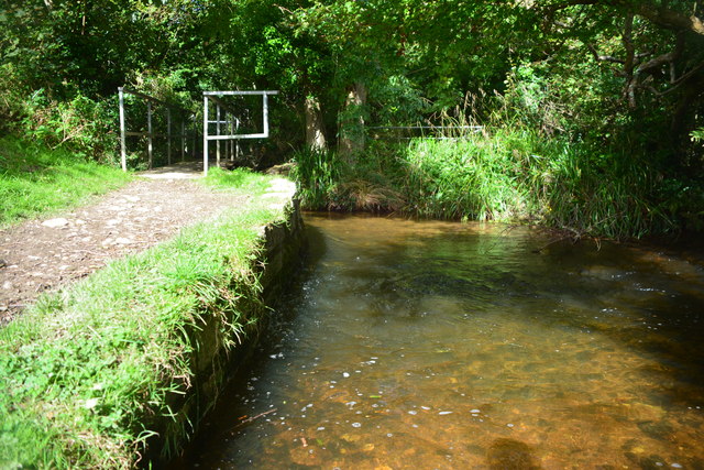
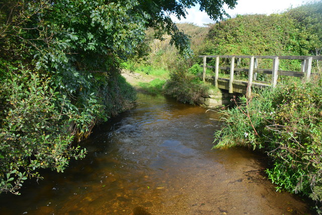
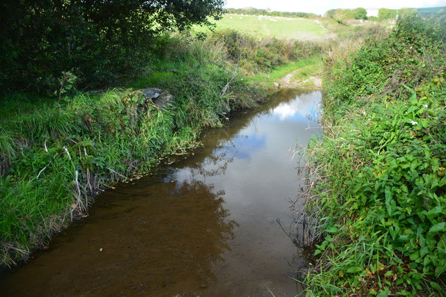
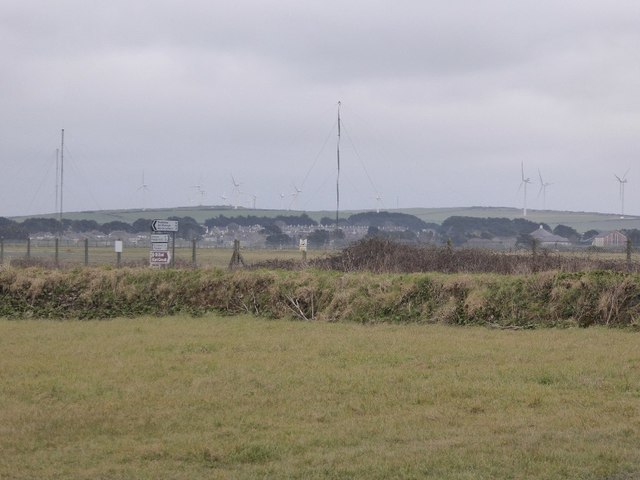
Mawgan Porth Images
Images are sourced within 2km of 50.468982/-5.0364463 or Grid Reference SW8467. Thanks to Geograph Open Source API. All images are credited.

Mawgan Porth is located at Grid Ref: SW8467 (Lat: 50.468982, Lng: -5.0364463)
Unitary Authority: Cornwall
Police Authority: Devon and Cornwall
What 3 Words
///dislodge.materials.shining. Near Newquay, Cornwall
Nearby Locations
Related Wikis

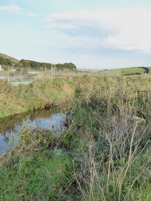
River Menalhyl
The River Menalhyl (Cornish: Dowr Melynheyl, meaning river of the estuary mill) is a river in Cornwall, England, that flows through the civil parishes...

St Columb Canal
St Columb Canal sometimes referred to as Edyvean's Canal, was an abortive canal scheme in Cornwall, England, designed for the carriage of sea sand for...
Mawgan Porth
Mawgan Porth (in Cornish: Porth Maugan, meaning "St. Mawgan's cove", or Porth Glyvyan, meaning "cove of the Gluvian River") is a beach and small settlement...

Trenance
Trenance (Cornish: Trenans) is a hamlet adjoining Mawgan Porth in Cornwall, England, United Kingdom. Trenance Point is a headland nearby.There are also...

Watergate Bay
Watergate Bay (Standard Written Form: Porth Tregoryan, meaning cove at Coryan's farmstead/village) is a long bay or beach flanked by cliffs centred two...
Trevarrian
Trevarrian pronounced (Tre-Varrion) is a hamlet south of Mawgan Porth, Cornwall, England, United Kingdom. == Cheese == St. Endellion is a brie style cheese...

Carnewas and Bedruthan Steps
Carnewas and Bedruthan Steps (Cornish: Karn Havos, meaning "rock-pile of summer dwelling" and Cornish: Bos Rudhen, meaning "Red-one's dwelling") is a stretch...
Tregurrian
Tregurrian (Cornish: Tregoryan, meaning Coryan's farm) is a hamlet 2 miles north-northeast of Newquay, on the north coast of Cornwall, England, United...
Nearby Amenities
Located within 500m of 50.468982,-5.0364463Have you been to Mawgan Porth?
Leave your review of Mawgan Porth below (or comments, questions and feedback).