Eilean an t-Sabhail

Island in Inverness-shire

Scotland

Eilean an t-Sabhail

Shoreline near Eilean Shona House At low tide.
Shoreline near Eilean Shona House Credit: Mick Garratt

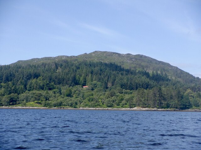
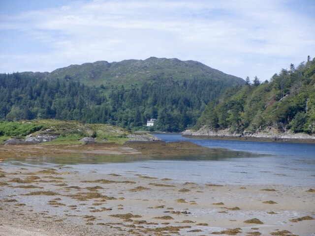
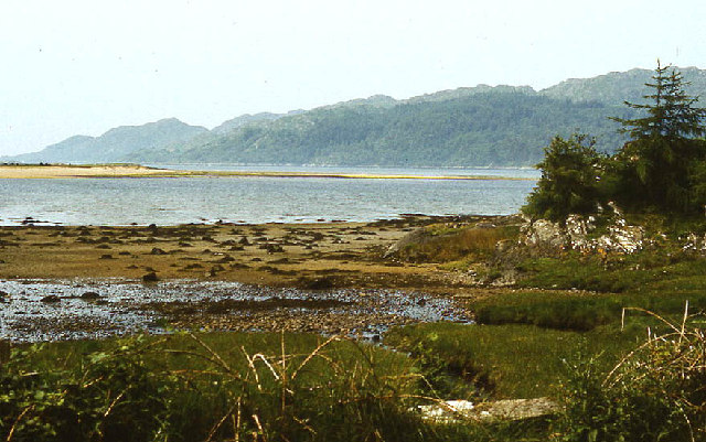
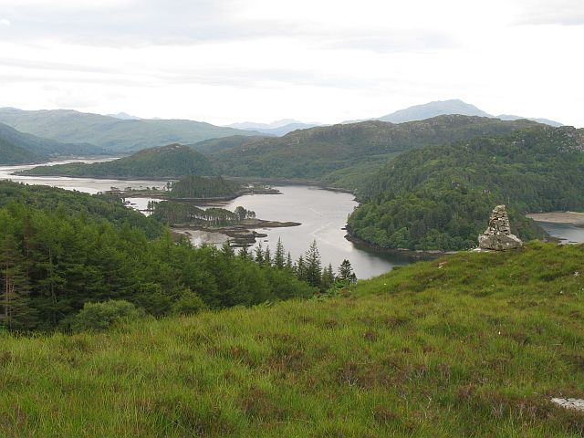
Eilean an t-Sabhail is a small uninhabited island located in the Inner Hebrides of Scotland, specifically in Inverness-shire. The island is situated in Loch Awe, near the village of Kilchrenan, and is accessible by boat.

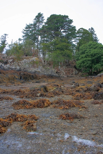
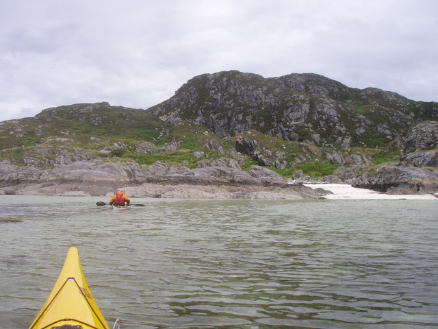
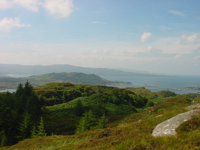
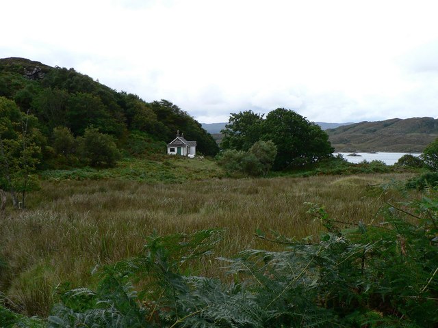
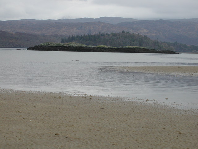
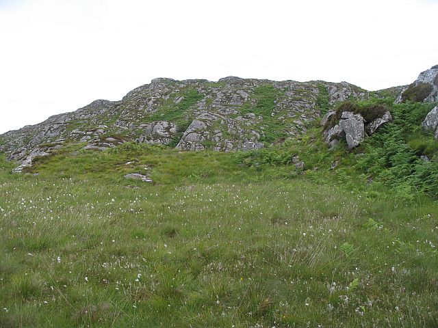
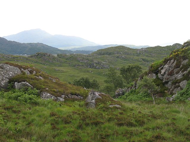
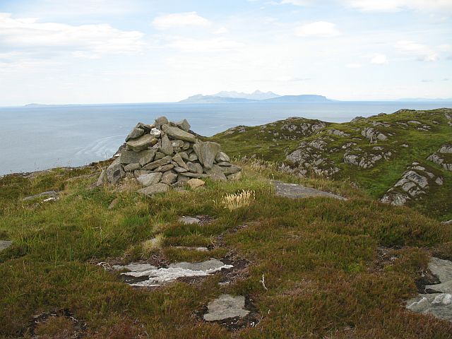
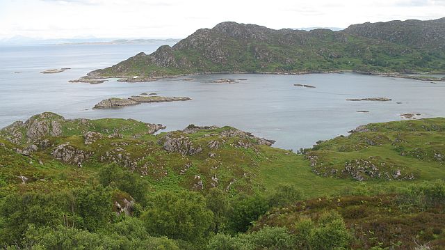
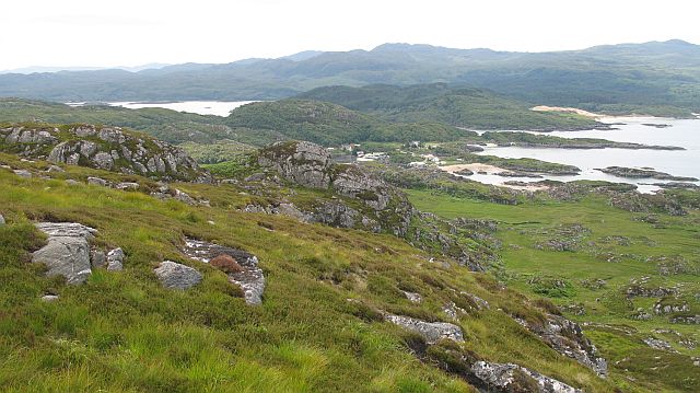
Eilean an t-Sabhail is known for its rugged and rocky terrain, with a diverse range of flora and fauna inhabiting the island. The island is surrounded by beautiful clear waters, making it a popular spot for fishing and boating activities.

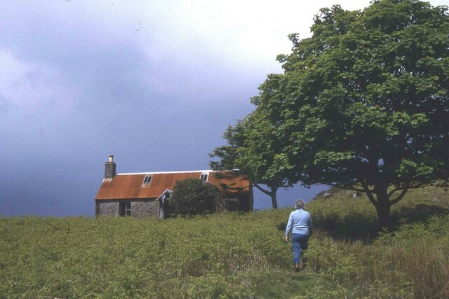
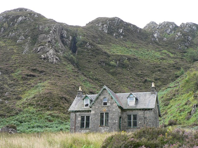
The island has a rich history, with archaeological remains dating back to ancient times. There are also several ruins of old buildings on the island, adding to its mysterious and enchanting atmosphere.

Visitors to Eilean an t-Sabhail can enjoy exploring the island on foot, taking in the stunning views of the surrounding landscape and wildlife. The island is a peaceful and secluded retreat, perfect for those looking to escape the hustle and bustle of everyday life.

Overall, Eilean an t-Sabhail is a hidden gem in the Scottish Highlands, offering a glimpse into the natural beauty and history of the region.

If you have any feedback on the listing, please let us know in the comments section below.

Eilean an t-Sabhail Images

Images are sourced within 2km of 56.789824/-5.87147 or Grid Reference NM6373. Thanks to Geograph Open Source API. All images are credited.

Shoreline near Eilean Shona House At low tide.
Shoreline near Eilean Shona House
At low tide.
Eilean Shona A very attractive tidal island seen from the South Channel of Loch Moidart. Taken before returning along the shore of Shona Beag (same island, different estate) to avoid the fast tidal stream between here and Riska on the ebb.
Eilean Shona
A very attractive tidal island seen from the South Channel of Loch Moidart. Taken before returning along the shore of Shona Beag (same island, different estate) to avoid the fast tidal stream between here and Riska on the ebb.
View of Eilean Shona From Dorlinn, looking between Castle Tioram and Riska.
View of Eilean Shona
From Dorlinn, looking between Castle Tioram and Riska.
Eilean Shona - Arien Cottage
Outer Loch Moidart with Eilean Shona beyond Looking north west
Outer Loch Moidart with Eilean Shona beyond
Looking north west
Lagoon off Shona. Shell sand Lagoon, off Aonach on Eilean Shona.
Lagoon off Shona.
Shell sand Lagoon, off Aonach on Eilean Shona.
Carn Mor View towards Carn Mor from atop Beinn a Bhaillidh on Eilean Shona
Carn Mor
View towards Carn Mor from atop Beinn a Bhaillidh on Eilean Shona
Old School on Shona Students used to have to come by boat to this school
Old School on Shona
Students used to have to come by boat to this school
Old Cottage
Old Cottage
Oyster Baskets Faodhail Dhubh Oyster baskets at the mouth of Faodhail Dhubh. This is a small private oyster farm.
Oyster Baskets Faodhail Dhubh
Oyster baskets at the mouth of Faodhail Dhubh. This is a small private oyster farm.
Sgeir nan Ròn with Riska Island behind A skerry in the South Channel of Loch Moidart
Sgeir nan Ròn with Riska Island behind
A skerry in the South Channel of Loch Moidart
Low tide in the South Channel Loch Moidart Eilean Mhic Neill and other skerries looking West along the South Channel of Loch Moidart.
Low tide in the South Channel Loch Moidart
Eilean Mhic Neill and other skerries looking West along the South Channel of Loch Moidart.
Bare rock, Carn Mòr Rugged small hill above Ardtoe.
Bare rock, Carn Mòr
Rugged small hill above Ardtoe.
Rugged moorland, on Carn Mòr East of Carn Mòr is a rough area of small rocky hills and bogs. It is grazed by cattle.
Rugged moorland, on Carn Mòr
East of Carn Mòr is a rough area of small rocky hills and bogs. It is grazed by cattle.
Carn Mòr The southern summit of a small rugged hill with a fine view. Muck, Eigg and Rum in the distance.
Carn Mòr
The southern summit of a small rugged hill with a fine view. Muck, Eigg and Rum in the distance.
Rubha Mhic Artair / Farquhar's Point Headland at the mouth of Loch Moidart with Eilean Raonuill and Eilean Shona beyond. The north side of Carn Mòr is well wooded and very rugged.
Rubha Mhic Artair / Farquhar's Point
Headland at the mouth of Loch Moidart with Eilean Raonuill and Eilean Shona beyond. The north side of Carn Mòr is well wooded and very rugged.
On Carn Mòr Rugged hillside overlooking the beaches at Ardtoe/ Aird Tobha.
On Carn Mòr
Rugged hillside overlooking the beaches at Ardtoe/ Aird Tobha.
Cairn on Beinn a' Bhàillidh One of the ribs of Beinn a' Bhàillidh, a cairn with a very fine view of Loch Moidart.  Very handy this view, with the usual anxieties of the interloper as regards the state of the tide.  Stories abound of scary wades of the ford.
Cairn on Beinn a' Bhàillidh
One of the ribs of Beinn a' Bhàillidh, a cairn with a very fine view of Loch Moidart. Very handy this view, with the usual anxieties of the interloper as regards the state of the tide. Stories abound of scary wades of the ford.
Show me another place!

Eilean an t-Sabhail is located at Grid Ref: NM6373 (Lat: 56.789824, Lng: -5.87147)

Unitary Authority: Highland

Police Authority: Highlands and Islands

What 3 Words

///gearing.guests.snows. Near Arisaig, Highland

Related Wikis

Eilean Shona

Eilean Shona (Scottish Gaelic: Eilean Seòna) is a tidal island in Loch Moidart, Scotland. The modern name may be from the Old Norse for "sea island". The...

Ardtoe

Ardtoe (Scottish Gaelic: Àird Tobha) is a place on the coast of Ardnamurchan, Lochaber, in the Highland council area of Scotland. It has sandy beaches...

Castle Tioram

Castle Tioram (; Scottish Gaelic: Caisteal Tioram, meaning "dry castle") is a ruined castle that sits on the tidal island Eilean Tioram in Loch Moidart...

Newton of Ardtoe

Newton of Ardtoe is a scattered crofting hamlet near Acharacle in Lochaber, Scottish Highlands and is in the council area of Highland.

Nearby Amenities

Located within 500m of 56.789824,-5.87147
Source: PGS
Lat/Long: 56.7887103/-5.8640264
Source: PGS
Lat/Long: 56.7887933/-5.8647953
Source: PGS
Lat/Long: 56.7889853/-5.8650419
Source: PGS
Lat/Long: 56.7894989/-5.8656424
Source: PGS
Lat/Long: 56.7896021/-5.8657679
Source: PGS
Lat/Long: 56.7897389/-5.8660225
Source: PGS
Lat/Long: 56.7899886/-5.8666315
Source: PGS
Lat/Long: 56.7903459/-5.8673936
Source: PGS
Lat/Long: 56.7904198/-5.867465
Source: PGS
Lat/Long: 56.7912357/-5.8683498
Source: PGS
Lat/Long: 56.7909536/-5.8699099
Source: PGS
Lat/Long: 56.7913233/-5.8702695
Source: PGS
Lat/Long: 56.7913686/-5.8707494
Source: PGS
Lat/Long: 56.7908693/-5.8715053
Source: PGS
Lat/Long: 56.7909375/-5.8724007
Source: PGS
Lat/Long: 56.7914032/-5.8728054
Source: PGS
Lat/Long: 56.7922575/-5.8732
Source: PGS
Lat/Long: 56.7919315/-5.873794
Source: PGS
Lat/Long: 56.7918868/-5.8738748
Source: PGS
Lat/Long: 56.7916763/-5.8742356
Source: PGS
Lat/Long: 56.7917342/-5.8745346
Source: PGS
Lat/Long: 56.7917448/-5.8747651
Source: PGS
Lat/Long: 56.7919323/-5.8750774
Source: PGS
Lat/Long: 56.7919228/-5.8755373
Source: PGS
Lat/Long: 56.7916964/-5.8756327
Source: PGS
Lat/Long: 56.7914615/-5.8768333
Source: PGS
Lat/Long: 56.791676/-5.8771401
Source: PGS
Lat/Long: 56.7919533/-5.877397
Source: PGS
Lat/Long: 56.792033/-5.8776563
Source: PGS
Lat/Long: 56.7920352/-5.8779147
Bailetonach
Place: locality
Lat/Long: 56.7934633/-5.8713068
The data included in this document is from www.openstreetmap.org. The data is made available under ODbL.

Have you been to Eilean an t-Sabhail?

Leave your review of Eilean an t-Sabhail below (or comments, questions and feedback).