Bailetonach

Settlement in Inverness-shire

Scotland

Bailetonach

Discharge Pipe Possibly to divert fresh water away from the nearby fish pond where research into fish farming was carried out.
Discharge Pipe Credit: Mick Garratt

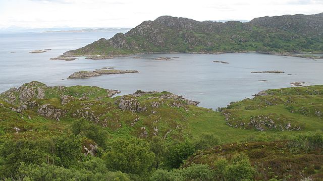
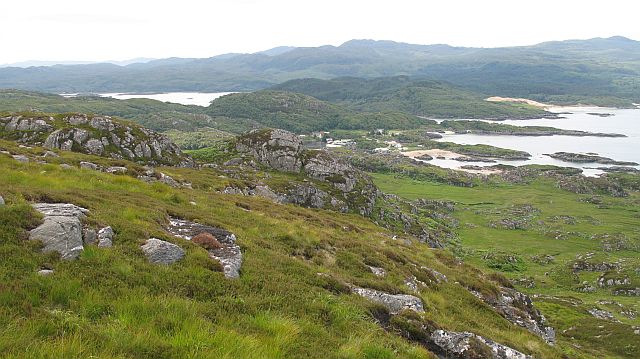
Bailetonach is a small village located in Inverness-shire, a historic county in the Scottish Highlands. Situated amidst the stunning natural beauty of the Highlands, Bailetonach offers a tranquil and picturesque setting for residents and visitors alike.

The village is nestled at the foot of majestic mountains and is surrounded by rolling hills and lush green landscapes. Its idyllic location provides numerous opportunities for outdoor activities, including hiking, fishing, and wildlife spotting. The nearby River Spey is renowned for its salmon fishing, attracting anglers from far and wide.

Bailetonach is home to a close-knit community, with a population of around 300 residents. The village features a charming main street lined with traditional cottages and a few local businesses, including a small grocery store and a cozy pub, where locals and tourists can gather for a pint and a friendly chat.

The area is rich in history and boasts several notable landmarks. The ruins of an ancient castle, believed to date back to the 15th century, stand proudly on a hill overlooking the village. The castle provides a glimpse into the region's past and offers panoramic views of the surrounding countryside.

For those seeking a peaceful retreat or a base to explore the Highlands, Bailetonach is an ideal destination. Its untouched natural beauty, friendly community, and historical attractions make it a hidden gem in Inverness-shire.

If you have any feedback on the listing, please let us know in the comments section below.
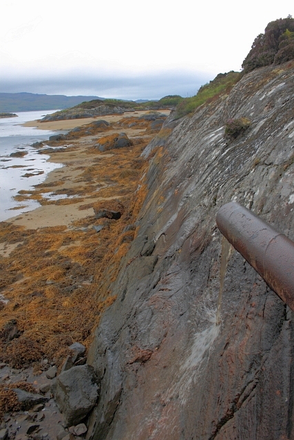
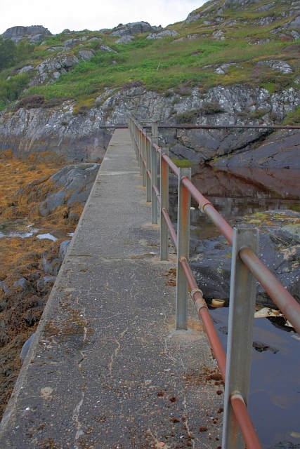
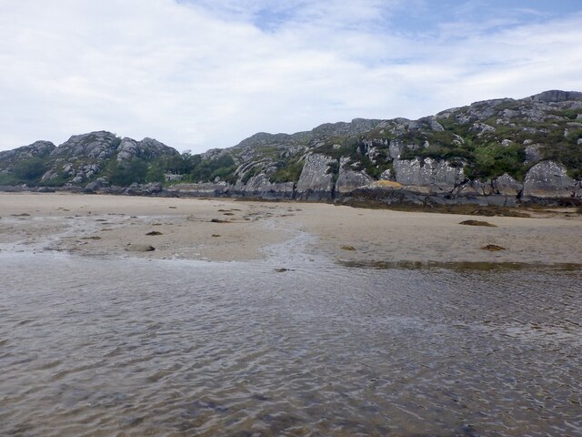
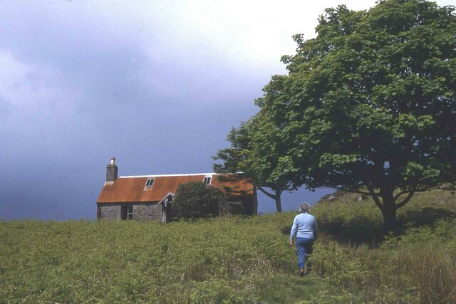
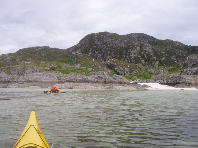
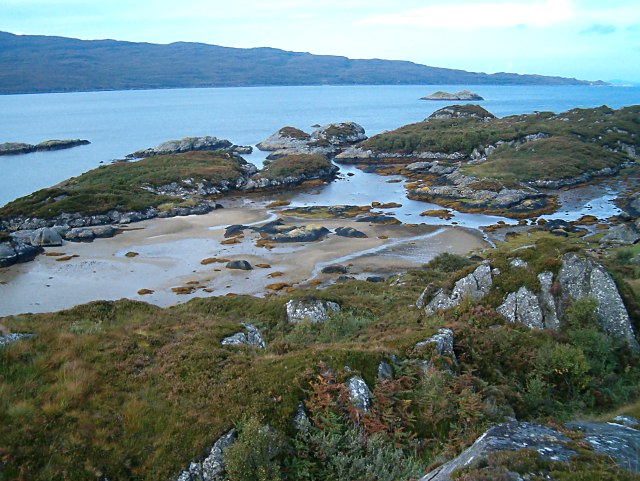
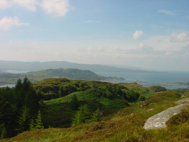
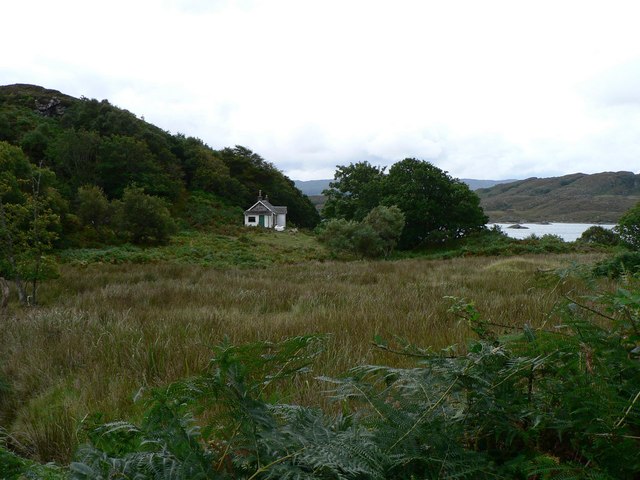
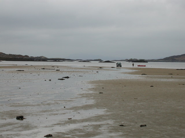
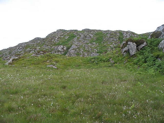
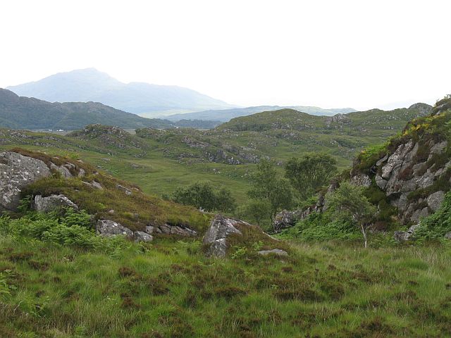
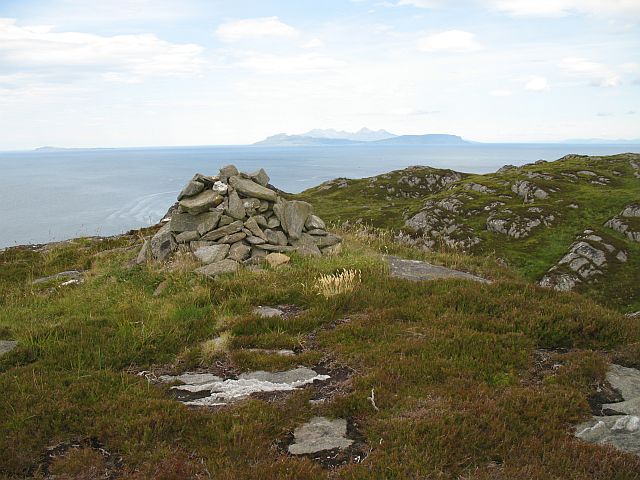
Bailetonach Images

Images are sourced within 2km of 56.78803/-5.8820322 or Grid Reference NM6373. Thanks to Geograph Open Source API. All images are credited.

Discharge Pipe Possibly to divert fresh water away from the nearby fish pond where research into fish farming was carried out.
Discharge Pipe
Possibly to divert fresh water away from the nearby fish pond where research into fish farming was carried out.
Dam Wall Constructed to provide a fish pond in which research into fish farming was conducted.
Dam Wall
Constructed to provide a fish pond in which research into fish farming was conducted.
Sàilean Dubh A small drying inlet at Ardtoe.
Sàilean Dubh
A small drying inlet at Ardtoe.
Beach at Ardtoe Looking up the beach towards the northern dam.
Beach at Ardtoe
Looking up the beach towards the northern dam.
Dam at fishery research station Built to hold sea water for fish ponds.
<a href="https://www.geograph.org.uk/photo/3096388">NM6271 : Dam Wall</a>
Dam at fishery research station
Built to hold sea water for fish ponds. NM6271 : Dam Wall
Interesting rocky shoreline I think this is lava that cooled under very high pressure but I'm not sure.
Interesting rocky shoreline
I think this is lava that cooled under very high pressure but I'm not sure.
Eilean Shona - Arien Cottage
Lagoon off Shona. Shell sand Lagoon, off Aonach on Eilean Shona.
Lagoon off Shona.
Shell sand Lagoon, off Aonach on Eilean Shona.
Sailean Dubh Part of the rocky shoreline near Ardtoe, with the Ardnamurchan peninsula the other side of the bay. The Isle of Muck is just visible offshore at the end of the land.
Sailean Dubh
Part of the rocky shoreline near Ardtoe, with the Ardnamurchan peninsula the other side of the bay. The Isle of Muck is just visible offshore at the end of the land.
Carn Mor View towards Carn Mor from atop Beinn a Bhaillidh on Eilean Shona
Carn Mor
View towards Carn Mor from atop Beinn a Bhaillidh on Eilean Shona
Old Cottage
Old Cottage
Low tide in the South Channel Loch Moidart Eilean Mhic Neill and other skerries looking West along the South Channel of Loch Moidart.
Low tide in the South Channel Loch Moidart
Eilean Mhic Neill and other skerries looking West along the South Channel of Loch Moidart.
Bare rock, Carn Mòr Rugged small hill above Ardtoe.
Bare rock, Carn Mòr
Rugged small hill above Ardtoe.
Rugged moorland, on Carn Mòr East of Carn Mòr is a rough area of small rocky hills and bogs. It is grazed by cattle.
Rugged moorland, on Carn Mòr
East of Carn Mòr is a rough area of small rocky hills and bogs. It is grazed by cattle.
Carn Mòr The southern summit of a small rugged hill with a fine view. Muck, Eigg and Rum in the distance.
Carn Mòr
The southern summit of a small rugged hill with a fine view. Muck, Eigg and Rum in the distance.
Rubha Mhic Artair / Farquhar's Point Headland at the mouth of Loch Moidart with Eilean Raonuill and Eilean Shona beyond. The north side of Carn Mòr is well wooded and very rugged.
Rubha Mhic Artair / Farquhar's Point
Headland at the mouth of Loch Moidart with Eilean Raonuill and Eilean Shona beyond. The north side of Carn Mòr is well wooded and very rugged.
On Carn Mòr Rugged hillside overlooking the beaches at Ardtoe/ Aird Tobha.
On Carn Mòr
Rugged hillside overlooking the beaches at Ardtoe/ Aird Tobha.
Beach near Ardtoe
Beach near Ardtoe
Show me another place!

Bailetonach is located at Grid Ref: NM6373 (Lat: 56.78803, Lng: -5.8820322)

Unitary Authority: Highland

Police Authority: Highlands and Islands

What 3 Words

///mouth.shimmered.dolphin. Near Arisaig, Highland

Related Wikis

Ardtoe

Ardtoe (Scottish Gaelic: Àird Tobha) is a place on the coast of Ardnamurchan, Lochaber, in the Highland council area of Scotland. It has sandy beaches...

Eilean Shona

Eilean Shona (Scottish Gaelic: Eilean Seòna) is a tidal island in Loch Moidart, Scotland. The modern name may be from the Old Norse for "sea island". The...

Newton of Ardtoe

Newton of Ardtoe is a scattered crofting hamlet near Acharacle in Lochaber, Scottish Highlands and is in the council area of Highland.

Castle Tioram

Castle Tioram (; Scottish Gaelic: Caisteal Tioram, meaning "dry castle") is a ruined castle that sits on the tidal island Eilean Tioram in Loch Moidart...

Nearby Amenities

Located within 500m of 56.78803,-5.8820322
Source: PGS
Lat/Long: 56.7864809/-5.8856358
Source: PGS
Lat/Long: 56.786745/-5.8857431
Source: PGS
Lat/Long: 56.787074/-5.885574
Source: PGS
Lat/Long: 56.7872418/-5.8852105
Source: PGS
Lat/Long: 56.7872989/-5.8848575
Source: PGS
Lat/Long: 56.7873934/-5.8837293
Source: PGS
Lat/Long: 56.7872902/-5.8829449
Source: PGS
Lat/Long: 56.7873286/-5.8830511
Source: PGS
Lat/Long: 56.7870049/-5.8829797
Source: PGS
Lat/Long: 56.7869136/-5.8844544
Source: PGS
Lat/Long: 56.7866939/-5.8845988
Source: PGS
Lat/Long: 56.7914615/-5.8768333
Source: PGS
Lat/Long: 56.7924173/-5.8812168
Source: PGS
Lat/Long: 56.7923478/-5.8814015
Source: PGS
Lat/Long: 56.7921669/-5.8816552
Source: PGS
Lat/Long: 56.7921303/-5.881754
Source: PGS
Lat/Long: 56.7920339/-5.8820925
Source: PGS
Lat/Long: 56.7919363/-5.8823114
Source: PGS
Lat/Long: 56.7916651/-5.88262
Source: PGS
Lat/Long: 56.7916108/-5.8827006
Source: PGS
Lat/Long: 56.7915736/-5.8828202
Source: PGS
Lat/Long: 56.7914883/-5.8832217
Source: PGS
Lat/Long: 56.7913751/-5.8836701
Source: PGS
Lat/Long: 56.7916399/-5.8845308
Source: PGS
Lat/Long: 56.7917616/-5.8846628
Source: PGS
Lat/Long: 56.7918032/-5.8847469
Source: PGS
Lat/Long: 56.7918935/-5.885334
Source: PGS
Lat/Long: 56.7839668/-5.8800208
Source: PGS
Lat/Long: 56.7839177/-5.8800657
Source: PGS
Lat/Long: 56.7836576/-5.8804197
Source: PGS
Lat/Long: 56.7836702/-5.8819811
Source: PGS
Lat/Long: 56.7841103/-5.8821985
Source: PGS
Lat/Long: 56.7845529/-5.8829349
Source: PGS
Lat/Long: 56.7843297/-5.8840756
Source: PGS
Lat/Long: 56.7847309/-5.8838927
Source: PGS
Lat/Long: 56.7852553/-5.885267
Source: PGS
Lat/Long: 56.7853858/-5.8859235
Source: PGS
Lat/Long: 56.7853415/-5.8866712
Source: PGS
Lat/Long: 56.785127/-5.8872259
Source: PGS
Lat/Long: 56.7849484/-5.8874648
The data included in this document is from www.openstreetmap.org. The data is made available under ODbL.

Have you been to Bailetonach?

Leave your review of Bailetonach below (or comments, questions and feedback).