Sgeir a' Bhodaich
Island in Ross-shire
Scotland
Sgeir a' Bhodaich
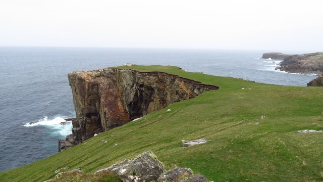
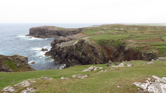
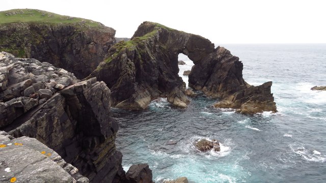
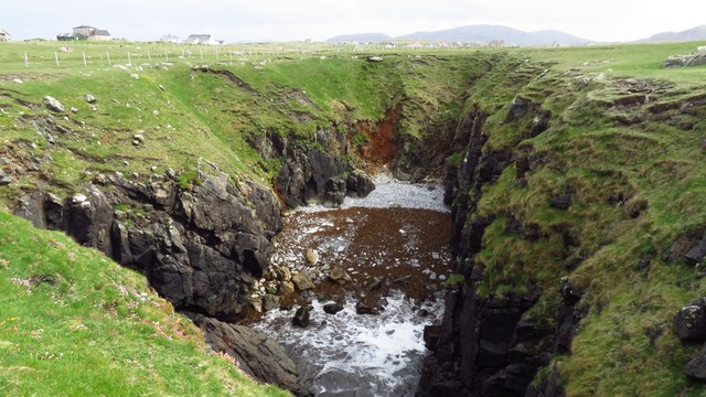
Sgeir a' Bhodaich is a small island located off the coast of Ross-shire, in the Scottish Highlands. It is situated in the Inner Sound, between the mainland and the Isle of Skye. The island is approximately 0.5 hectares in size and is known for its unique geological features and rich wildlife.
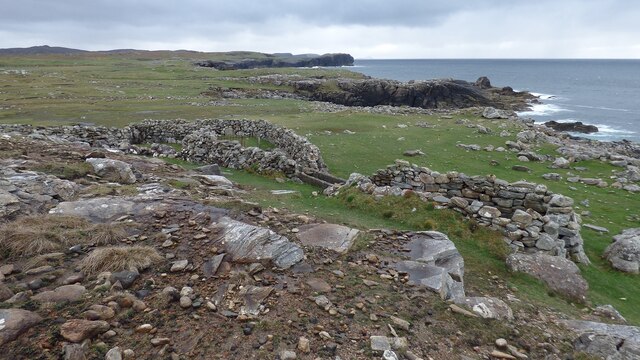
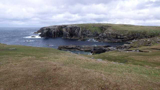
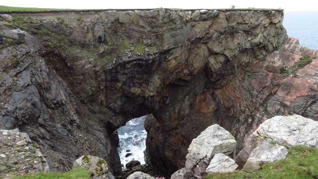
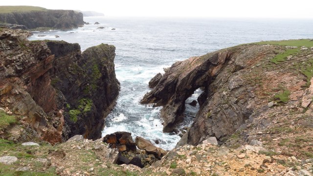
Sgeir a' Bhodaich is primarily composed of basalt columns, which were formed by ancient volcanic activity. These columns create a striking landscape, with rugged cliffs and rocky outcrops. The island is uninhabited and largely inaccessible to visitors due to its steep and treacherous terrain.
Despite its small size, Sgeir a' Bhodaich is home to a diverse range of seabirds, including gannets, fulmars, and kittiwakes. The surrounding waters are abundant with marine life, making it an important feeding ground for seals and dolphins.
The island's name, Sgeir a' Bhodaich, translates to "The Old Man's Skerry" in English. It is believed to have derived from a local legend or historical figure associated with the island, although the exact origin is uncertain.
Sgeir a' Bhodaich serves as an important conservation area, protected under Scottish law. Its unique geological formations and diverse wildlife make it a site of scientific interest and a valuable natural asset for the region.
If you have any feedback on the listing, please let us know in the comments section below.
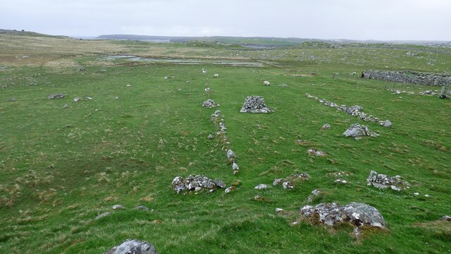
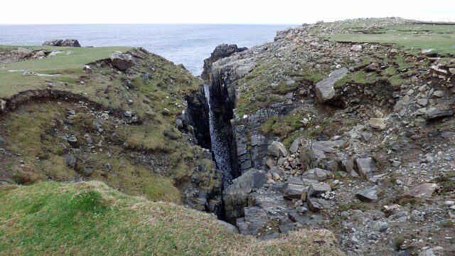
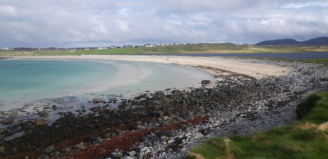
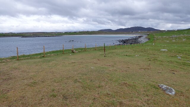
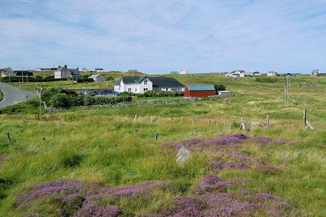
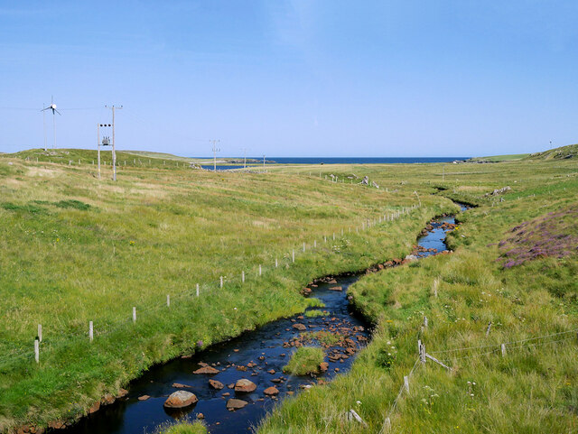
Sgeir a' Bhodaich Images
Images are sourced within 2km of 58.331821/-6.7127292 or Grid Reference NB2447. Thanks to Geograph Open Source API. All images are credited.


Sgeir a' Bhodaich is located at Grid Ref: NB2447 (Lat: 58.331821, Lng: -6.7127292)
Unitary Authority: Na h-Eileanan an Iar
Police Authority: Highlands and Islands
What 3 Words
///afflicted.count.shorter. Near Carloway, Na h-Eileanan Siar
Nearby Locations
Related Wikis

Shawbost
Shawbost (Scottish Gaelic: Siabost) is a large village in the West Side of the Isle of Lewis. The village of Shawbost has a population of around 500 and...

Siadar Wave Power Station
The Siadar Wave Power Station (also known as Siadar Wave Energy Project or SWEP) was a proposed 4 MW wave farm 400 metres (1,300 ft) off the shore of Siadar...

Bragar
Bragar (Scottish Gaelic: Bràgar, pronounced [braːgər]) is a village on the west side of the Isle of Lewis in the Outer Hebrides, Scotland, 14 miles (23...

Garenin
Garenin (Scottish Gaelic: Na Gearrannan) is a crofting township on the west coast of the Isle of Lewis in the Outer Hebrides of Scotland. Garenin is in...
Nearby Amenities
Located within 500m of 58.331821,-6.7127292Have you been to Sgeir a' Bhodaich?
Leave your review of Sgeir a' Bhodaich below (or comments, questions and feedback).