Rubha Glas
Coastal Feature, Headland, Point in Ross-shire
Scotland
Rubha Glas
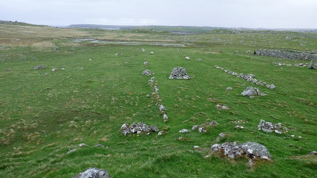
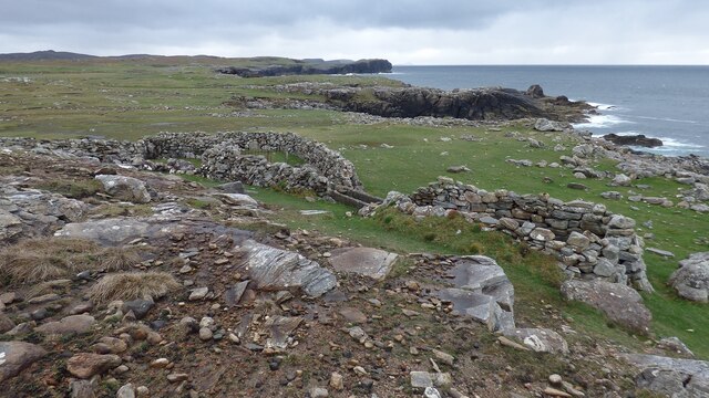
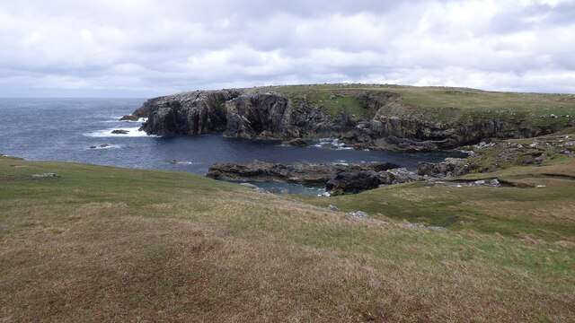
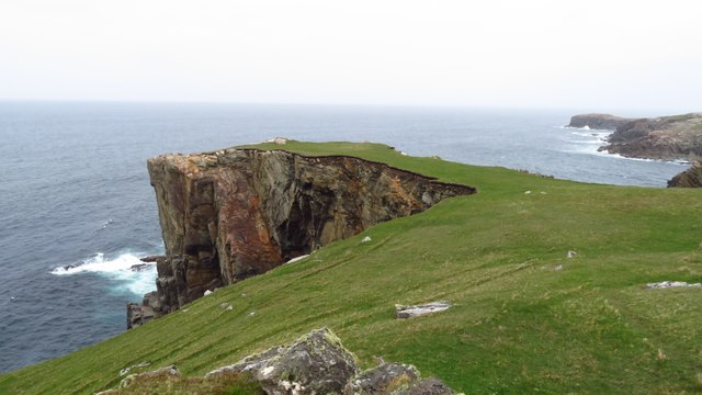
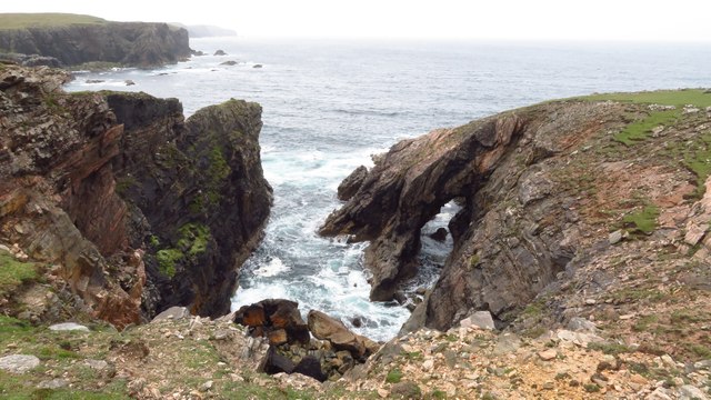
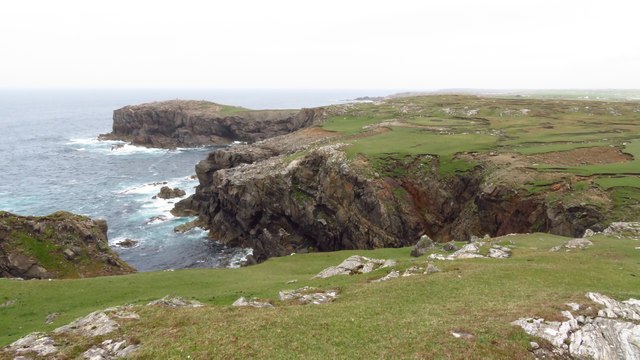
Rubha Glas is a stunning coastal feature located in Ross-shire, Scotland. This headland, also known as the Rubh' an Eun Lighthouse, juts out into the North Atlantic Ocean and offers breathtaking panoramic views of the surrounding area. Situated on the northwestern coast of Scotland, Rubha Glas is known for its rugged beauty and abundant wildlife.
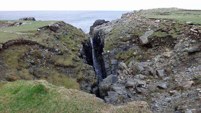
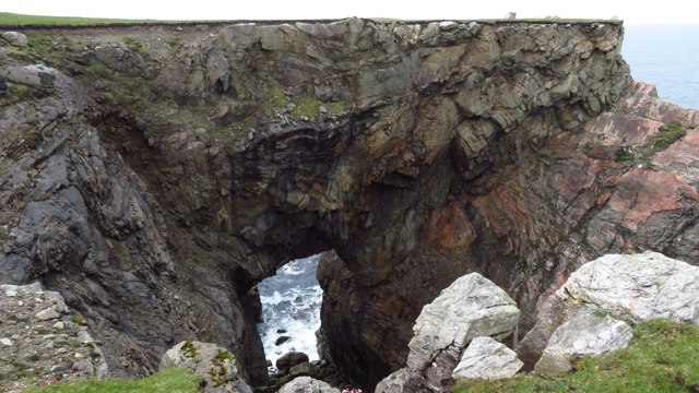
The headland itself is characterized by steep cliffs that provide a dramatic backdrop to the crashing waves below. At the tip of Rubha Glas, a historic lighthouse stands tall, guiding ships safely through the treacherous waters. The lighthouse, built in 1899, is an iconic landmark of the area and is still operational, serving as an important navigational aid for maritime traffic.
Surrounding Rubha Glas is a diverse ecosystem, rich in flora and fauna. The headland is home to a variety of seabirds, including puffins, gulls, and razorbills. Visitors to Rubha Glas may have the opportunity to observe these magnificent creatures in their natural habitat. The coastal waters are also teeming with marine life, with seals and dolphins often seen playing in the waves.
In addition to its natural beauty, Rubha Glas offers visitors the chance to explore the nearby coastal paths and enjoy leisurely walks along the rugged coastline. The headland is a popular spot for outdoor enthusiasts and nature lovers, who can immerse themselves in the tranquility and awe-inspiring scenery that Rubha Glas has to offer.
Overall, Rubha Glas is a captivating coastal feature that showcases the raw beauty of Scotland's northwestern coast. With its dramatic cliffs, historic lighthouse, and abundant wildlife, it is a must-visit destination for anyone seeking to experience the breathtaking splendor of this unique part of the world.
If you have any feedback on the listing, please let us know in the comments section below.
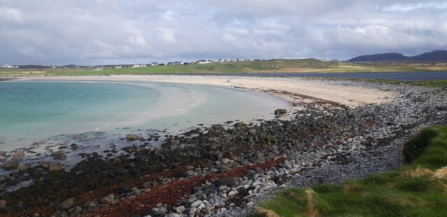
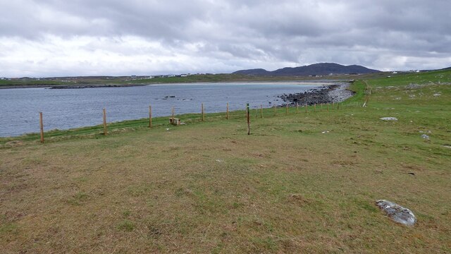
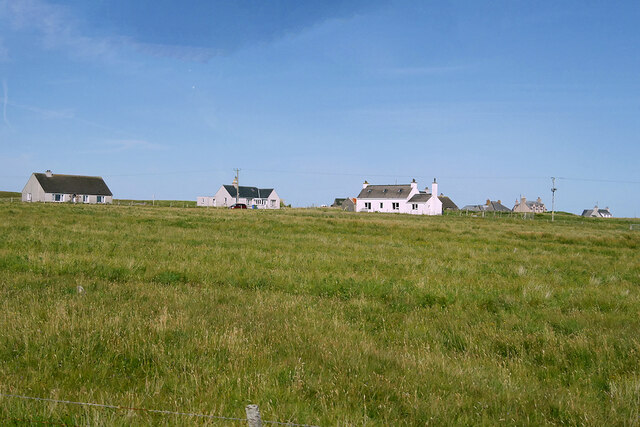
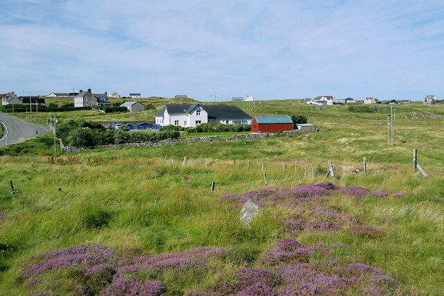
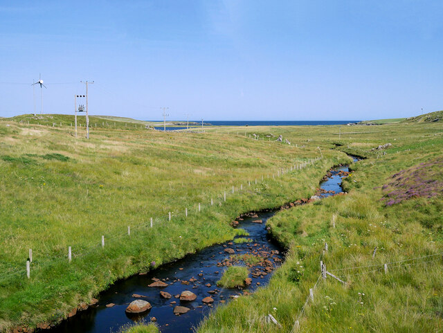
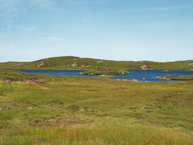
Rubha Glas Images
Images are sourced within 2km of 58.328408/-6.7133 or Grid Reference NB2447. Thanks to Geograph Open Source API. All images are credited.


Rubha Glas is located at Grid Ref: NB2447 (Lat: 58.328408, Lng: -6.7133)
Unitary Authority: Na h-Eileanan an Iar
Police Authority: Highlands and Islands
What 3 Words
///invisible.stapled.trips. Near Carloway, Na h-Eileanan Siar
Related Wikis

Shawbost
Shawbost (Scottish Gaelic: Siabost) is a large village in the West Side of the Isle of Lewis. The village of Shawbost has a population of around 500 and...

Siadar Wave Power Station
The Siadar Wave Power Station (also known as Siadar Wave Energy Project or SWEP) was a proposed 4 MW wave farm 400 metres (1,300 ft) off the shore of Siadar...

Bragar
Bragar (Scottish Gaelic: Bràgar, pronounced [braːgər]) is a village on the west side of the Isle of Lewis in the Outer Hebrides, Scotland, 14 miles (23...

Garenin
Garenin (Scottish Gaelic: Na Gearrannan) is a crofting township on the west coast of the Isle of Lewis in the Outer Hebrides of Scotland. Garenin is in...
Nearby Amenities
Located within 500m of 58.328408,-6.7133Have you been to Rubha Glas?
Leave your review of Rubha Glas below (or comments, questions and feedback).