Cnoc Buaile Chrisgean
Hill, Mountain in Ross-shire
Scotland
Cnoc Buaile Chrisgean
Cnoc Buaile Chrisgean is a prominent hill located in the county of Ross-shire, in the Highlands region of Scotland. With its summit reaching an elevation of approximately 544 meters (1,785 feet), it boasts stunning panoramic views of the surrounding landscape.
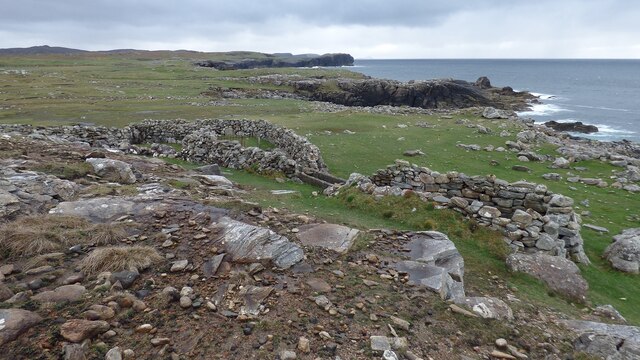
Situated near the village of Achnasheen, Cnoc Buaile Chrisgean is a popular destination for hikers and outdoor enthusiasts. The hill is easily accessible, with several well-marked trails leading to the summit. These trails offer a variety of terrains, ranging from gentle slopes to more challenging rocky sections.
The hill is known for its diverse flora and fauna, with heather-covered slopes and patches of woodland. It provides a habitat for various bird species, including buzzards, peregrine falcons, and golden eagles, making it a great spot for birdwatching.
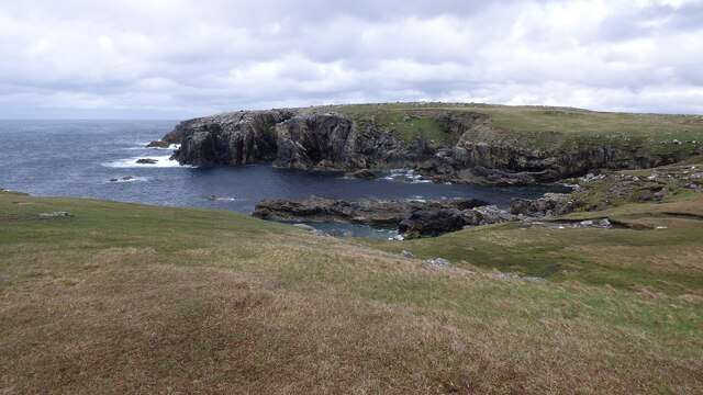
On clear days, the summit offers breathtaking views of the surrounding mountains, including the Torridon Hills, Beinn Eighe, and the Cuillin Range on the Isle of Skye. The hill also provides an excellent vantage point for enjoying the picturesque scenery of nearby lochs, such as Loch Fannich and Loch Maree.
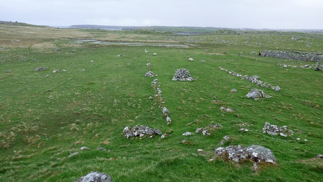
Cnoc Buaile Chrisgean is steeped in local history and folklore. The hill has been a site of human activity for centuries, with archaeological evidence suggesting it was once used as a burial site. Local legends also speak of mythical creatures and spirits residing in the area.
Overall, Cnoc Buaile Chrisgean provides a rewarding and memorable experience for those who choose to explore its trails and enjoy the natural beauty of the Scottish Highlands.
If you have any feedback on the listing, please let us know in the comments section below.
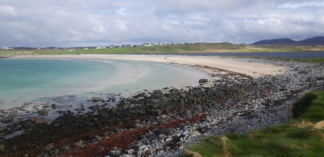
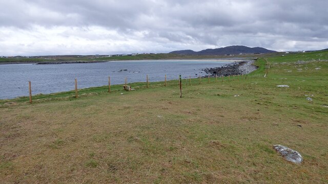
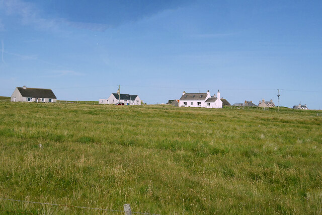
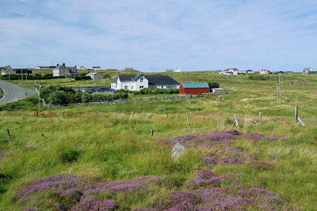
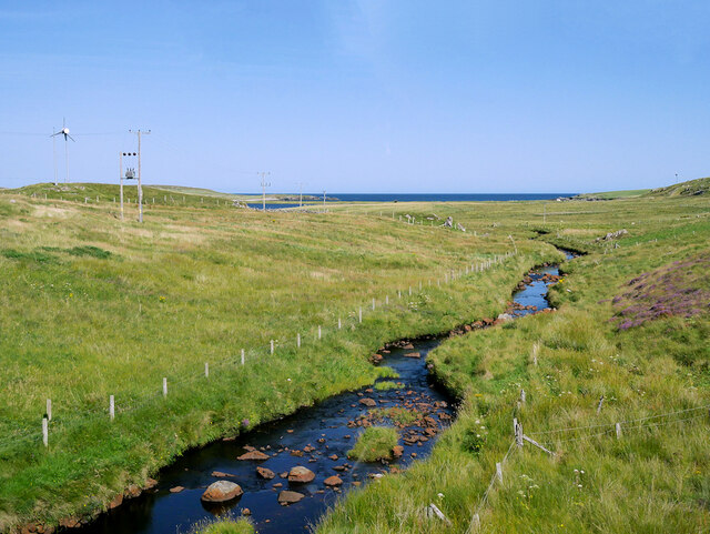
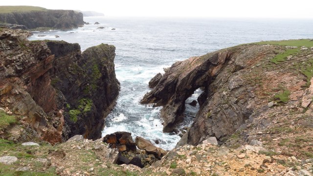
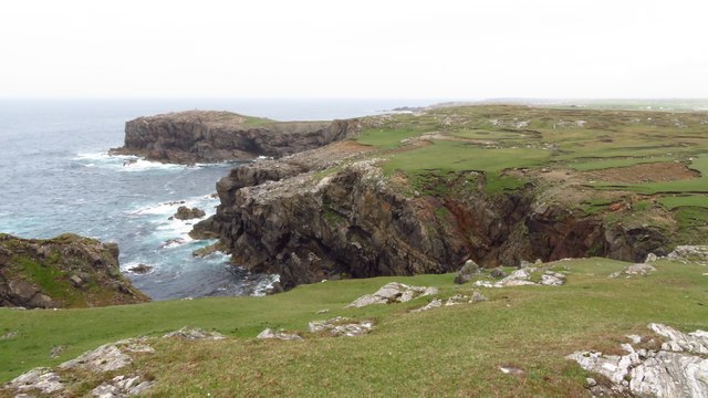
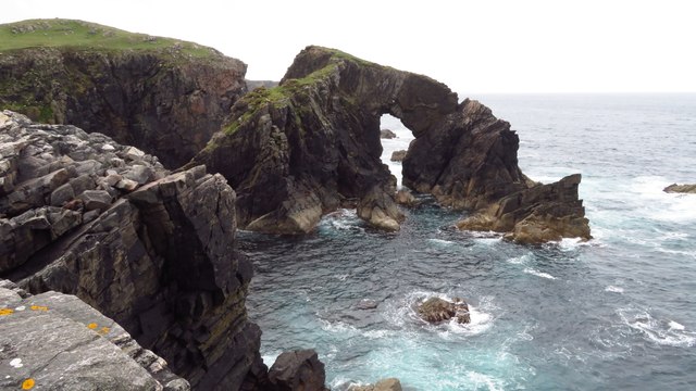
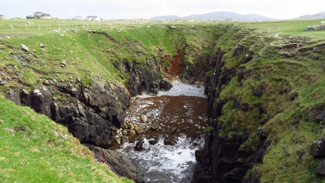
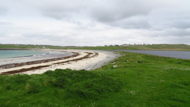
Cnoc Buaile Chrisgean Images
Images are sourced within 2km of 58.33093/-6.7046925 or Grid Reference NB2447. Thanks to Geograph Open Source API. All images are credited.


Cnoc Buaile Chrisgean is located at Grid Ref: NB2447 (Lat: 58.33093, Lng: -6.7046925)
Unitary Authority: Na h-Eileanan an Iar
Police Authority: Highlands and Islands
What 3 Words
///erase.again.outs. Near Carloway, Na h-Eileanan Siar
Related Wikis

Shawbost
Shawbost (Scottish Gaelic: Siabost) is a large village in the West Side of the Isle of Lewis. The village of Shawbost has a population of around 500 and...

Bragar
Bragar (Scottish Gaelic: Bràgar, pronounced [braːgər]) is a village on the west side of the Isle of Lewis in the Outer Hebrides, Scotland, 14 miles (23...

Siadar Wave Power Station
The Siadar Wave Power Station (also known as Siadar Wave Energy Project or SWEP) was a proposed 4 MW wave farm 400 metres (1,300 ft) off the shore of Siadar...

Garenin
Garenin (Scottish Gaelic: Na Gearrannan) is a crofting township on the west coast of the Isle of Lewis in the Outer Hebrides of Scotland. Garenin is in...
Nearby Amenities
Located within 500m of 58.33093,-6.7046925Have you been to Cnoc Buaile Chrisgean?
Leave your review of Cnoc Buaile Chrisgean below (or comments, questions and feedback).