Rubha Caol
Coastal Feature, Headland, Point in Ross-shire
Scotland
Rubha Caol
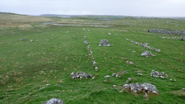
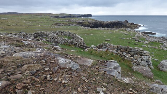
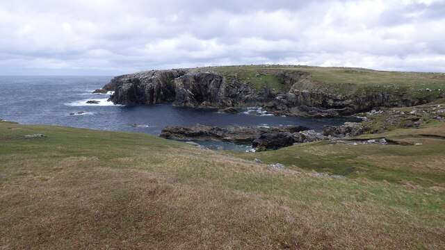
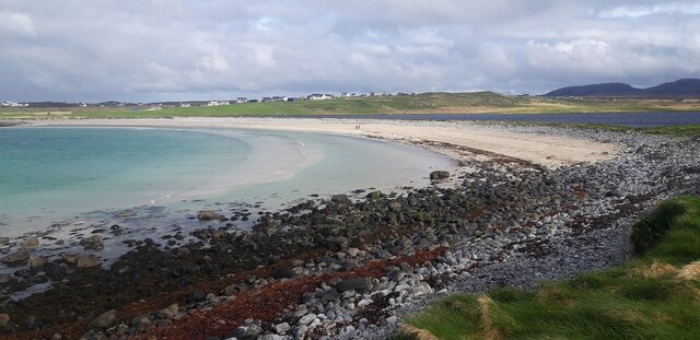
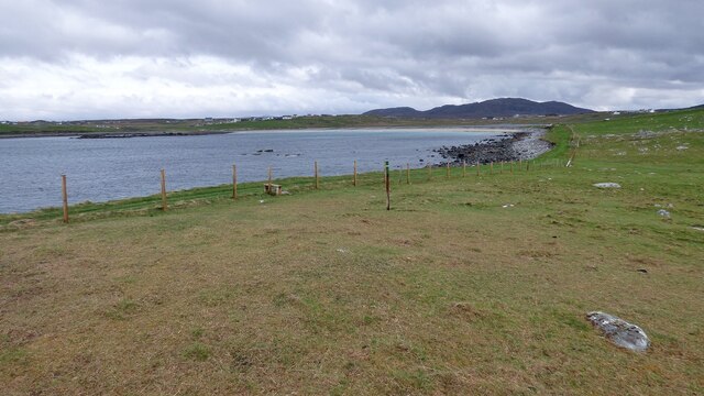
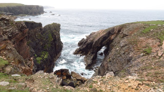
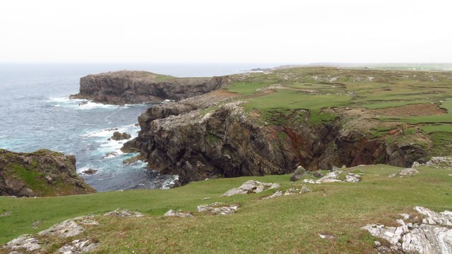
Rubha Caol is a prominent headland located in the region of Ross-shire, Scotland. Situated on the west coast of the country, the headland juts out into the North Atlantic Ocean, offering stunning views of the surrounding landscape. Its strategic location provides a natural barrier against the powerful waves and currents of the ocean.
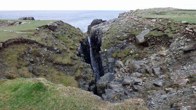
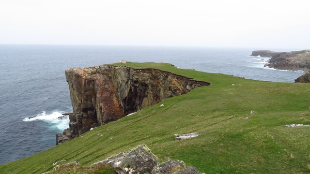
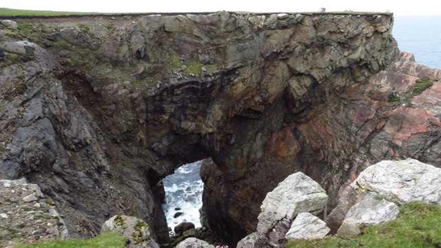
The headland is characterized by its rugged and rocky terrain, with cliffs rising up to 100 meters in some places. The rocks are predominantly made up of sandstone, providing a unique geological feature to the area. The headland is also home to numerous sea stacks, which have been formed through years of erosion by the crashing waves.
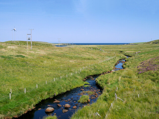
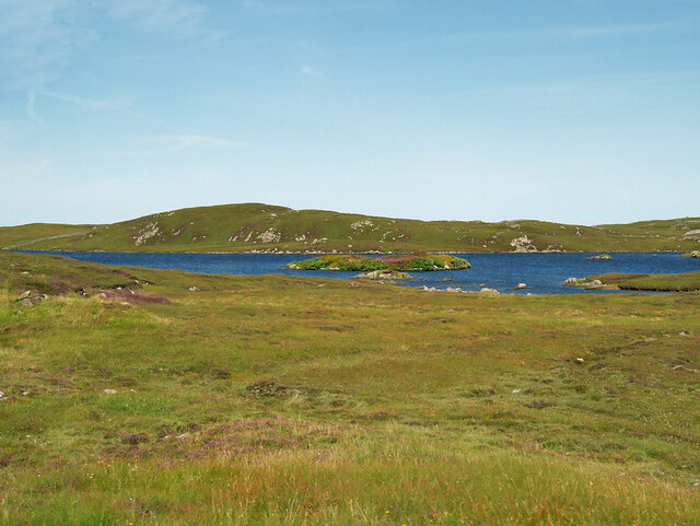
The area surrounding Rubha Caol is rich in marine life, making it a popular spot for birdwatchers and nature enthusiasts. Seabirds such as puffins, guillemots, and razorbills can often be spotted nesting on the cliffs, while seals can be seen basking on the rocks below. The headland is also known for its diverse plant life, with heather, gorse, and wildflowers adding a splash of color to the rugged landscape.
Access to Rubha Caol is relatively easy, with a well-maintained footpath leading to the headland from the nearby village. The path offers panoramic views of the surrounding coastline and provides an opportunity to appreciate the natural beauty of the area. The headland is a popular destination for hikers and photographers, who visit to capture the breathtaking vistas and experience the tranquility of this remote coastal feature.
If you have any feedback on the listing, please let us know in the comments section below.
Rubha Caol Images
Images are sourced within 2km of 58.330526/-6.7124539 or Grid Reference NB2447. Thanks to Geograph Open Source API. All images are credited.


Rubha Caol is located at Grid Ref: NB2447 (Lat: 58.330526, Lng: -6.7124539)
Unitary Authority: Na h-Eileanan an Iar
Police Authority: Highlands and Islands
What 3 Words
///cork.glides.sweat. Near Carloway, Na h-Eileanan Siar
Related Wikis

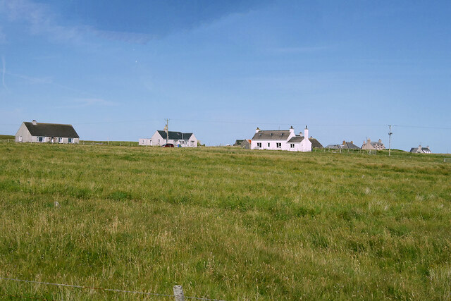
Shawbost
Shawbost (Scottish Gaelic: Siabost) is a large village in the West Side of the Isle of Lewis. The village of Shawbost has a population of around 500 and...

Siadar Wave Power Station
The Siadar Wave Power Station (also known as Siadar Wave Energy Project or SWEP) was a proposed 4 MW wave farm 400 metres (1,300 ft) off the shore of Siadar...

Bragar
Bragar (Scottish Gaelic: Bràgar, pronounced [braːgər]) is a village on the west side of the Isle of Lewis in the Outer Hebrides, Scotland, 14 miles (23...

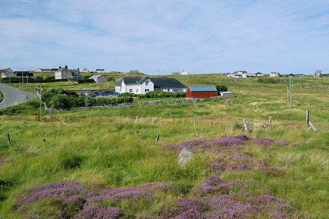
Garenin
Garenin (Scottish Gaelic: Na Gearrannan) is a crofting township on the west coast of the Isle of Lewis in the Outer Hebrides of Scotland. Garenin is in...
Nearby Amenities
Located within 500m of 58.330526,-6.7124539Have you been to Rubha Caol?
Leave your review of Rubha Caol below (or comments, questions and feedback).