Druim nam Biast
Coastal Feature, Headland, Point in Ross-shire
Scotland
Druim nam Biast
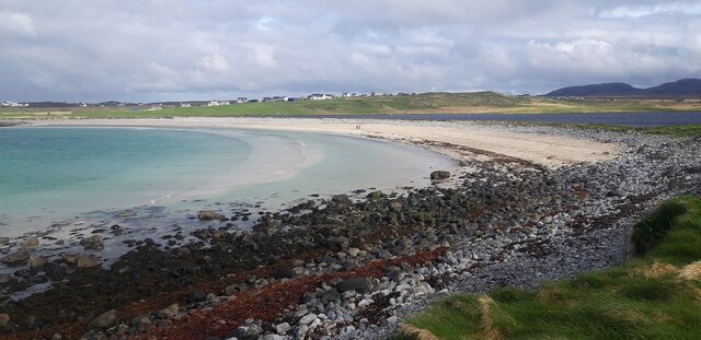
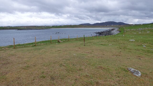
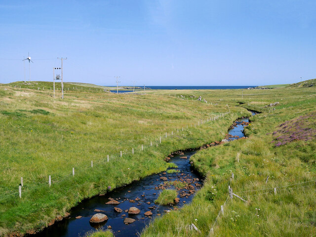
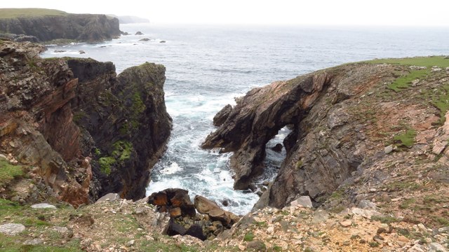
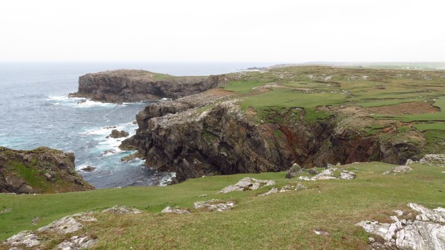
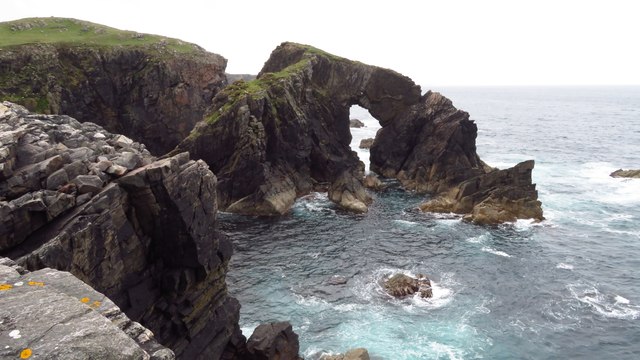
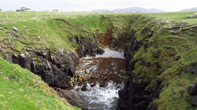
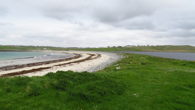
Druim nam Biast is a prominent coastal feature located in Ross-shire, Scotland. It is a headland that juts out into the North Atlantic Ocean, forming a distinct point along the coastline. The name "Druim nam Biast" translates to "Ridge of the Beasts" in Gaelic, which reflects the rugged and wild nature of this geographical formation.
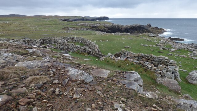
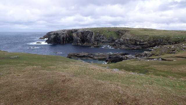
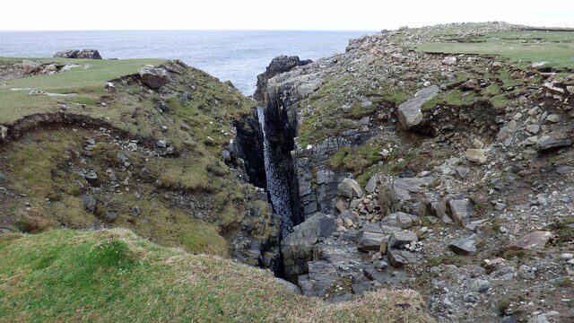
The headland is characterized by its steep cliffs that rise dramatically from the sea, providing stunning panoramic views of the surrounding area. These cliffs are composed of ancient rock formations, including sandstone and shale, which have been shaped over millions of years by the erosive forces of wind and water.
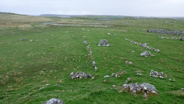
Druim nam Biast is also rich in biodiversity, serving as a habitat for a variety of plant and animal species. The coastal heathland and grassy slopes support a diverse range of flora, including wildflowers, grasses, and shrubs. Seabirds such as gannets, puffins, and fulmars can often be seen nesting on the cliffs, while seals and dolphins can sometimes be spotted in the surrounding waters.
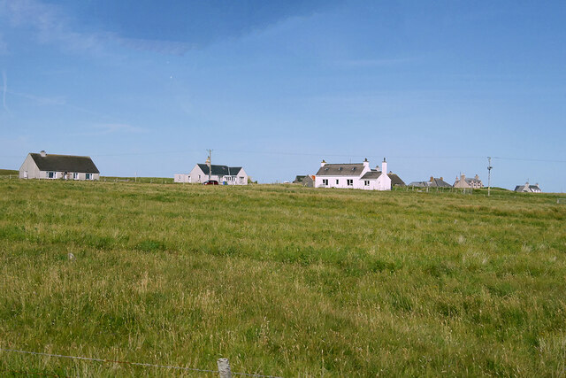
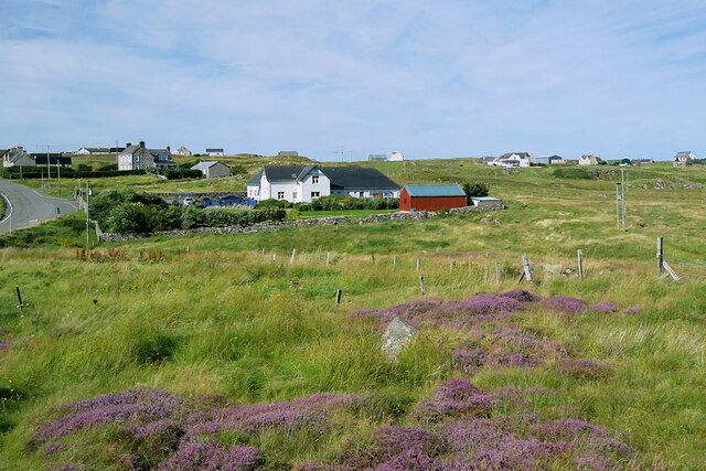
The headland is a popular destination for nature enthusiasts and hikers, who are drawn to its natural beauty and the opportunity to explore the rugged coastline. Several walking trails have been established along the cliffs, providing visitors with access to the stunning views and allowing them to immerse themselves in the pristine coastal environment.
Overall, Druim nam Biast is a captivating coastal feature in Ross-shire, offering a unique blend of natural beauty, wildlife, and recreational opportunities for visitors to enjoy.
If you have any feedback on the listing, please let us know in the comments section below.
Druim nam Biast Images
Images are sourced within 2km of 58.331336/-6.7073289 or Grid Reference NB2447. Thanks to Geograph Open Source API. All images are credited.


Druim nam Biast is located at Grid Ref: NB2447 (Lat: 58.331336, Lng: -6.7073289)
Unitary Authority: Na h-Eileanan an Iar
Police Authority: Highlands and Islands
What 3 Words
///impeached.minus.tribune. Near Carloway, Na h-Eileanan Siar
Related Wikis

Shawbost
Shawbost (Scottish Gaelic: Siabost) is a large village in the West Side of the Isle of Lewis. The village of Shawbost has a population of around 500 and...

Bragar
Bragar (Scottish Gaelic: Bràgar, pronounced [braːgər]) is a village on the west side of the Isle of Lewis in the Outer Hebrides, Scotland, 14 miles (23...

Siadar Wave Power Station
The Siadar Wave Power Station (also known as Siadar Wave Energy Project or SWEP) was a proposed 4 MW wave farm 400 metres (1,300 ft) off the shore of Siadar...

Garenin
Garenin (Scottish Gaelic: Na Gearrannan) is a crofting township on the west coast of the Isle of Lewis in the Outer Hebrides of Scotland. Garenin is in...

Carloway
Carloway (Scottish Gaelic: Càrlabhagh [ˈkʰaːɾɫ̪ə.ɤː]) is a crofting township and a district on the west coast of the Isle of Lewis, in the Outer Hebrides...

Arnol
Arnol (Scottish Gaelic: Àrnol) is a small village typical of many settlements of the west coast of the Isle of Lewis, in the Outer Hebrides, Scotland....

Borrowston, Lewis
Borrowston (Scottish Gaelic: Borghastan), with a population of about 50, is a crofting township situated on the Isle of Lewis, on the Outer Hebrides of...

Dun Carloway
Dun Carloway (Scottish Gaelic: Dùn Chàrlabhaigh) is a broch situated in the district of Carloway, on the west coast of the Isle of Lewis, Scotland (grid...
Nearby Amenities
Located within 500m of 58.331336,-6.7073289Have you been to Druim nam Biast?
Leave your review of Druim nam Biast below (or comments, questions and feedback).