Cnoc nan Allt

Hill, Mountain in Ross-shire

Scotland

Cnoc nan Allt

Strip Fields and Clearance Cairns The field boundaries form part of a much larger system in this area and the cairns are built upon earthfast boulders.
Strip Fields and Clearance Cairns Credit: Sandy Gerrard

Cnoc nan Allt is a prominent hill located in Ross-shire, Scotland. It is situated in the Northwest Highlands, near the small village of Achnasheen. Standing at an impressive height of 842 meters (2,762 feet), it is often referred to as a mountain due to its size and rugged appearance.

The hill is part of the Torridon mountain range, renowned for its stunning natural beauty and challenging terrain. Cnoc nan Allt is surrounded by a picturesque landscape of rolling hills, deep valleys, and fast-flowing rivers. Its slopes are covered in heather and grasses, creating a vibrant tapestry of colors during the summer months.

The ascent of Cnoc nan Allt is popular among hikers and mountaineers, offering breathtaking panoramic views of the surrounding area. From the summit, one can admire the majestic peaks of the Torridon range, including Liathach and Beinn Eighe. On clear days, it is even possible to see as far as the Isle of Skye and the Outer Hebrides.

The hill is accessible from various starting points, with several well-marked paths leading to the summit. However, it is important to note that the terrain can be challenging, particularly in winter when snow and ice can make the ascent treacherous. Proper equipment and navigation skills are essential for a safe and enjoyable climb.

Overall, Cnoc nan Allt is a magnificent hill/mountain that offers outdoor enthusiasts a chance to immerse themselves in the stunning natural beauty of the Scottish Highlands. Whether it's for a challenging hike or simply to admire the breathtaking views, it is a destination that is sure to captivate all who visit.

If you have any feedback on the listing, please let us know in the comments section below.

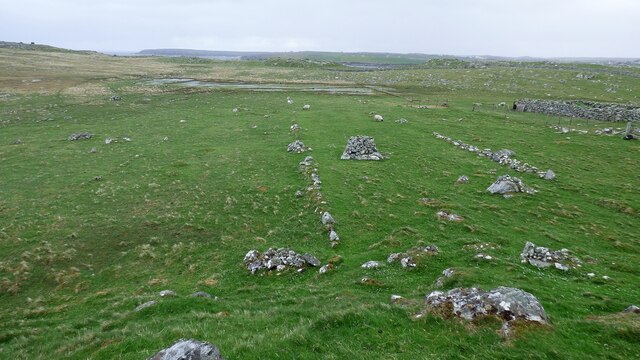
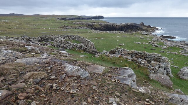
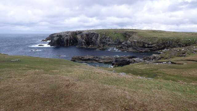
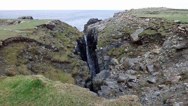
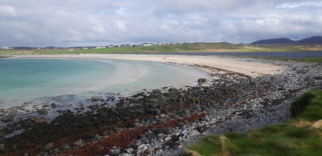
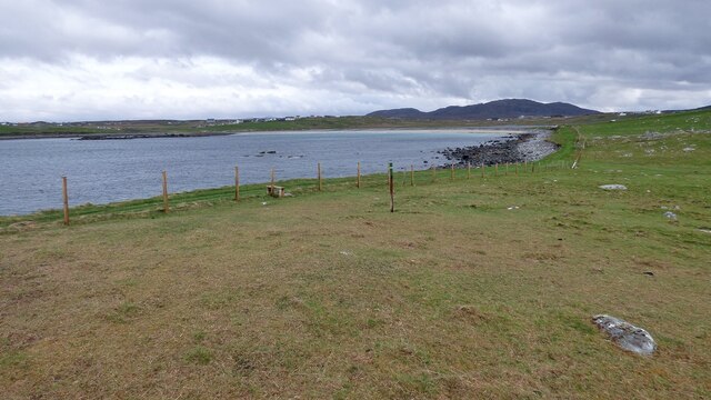
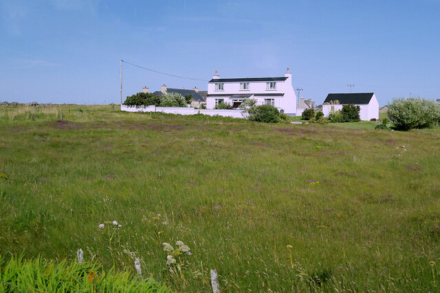
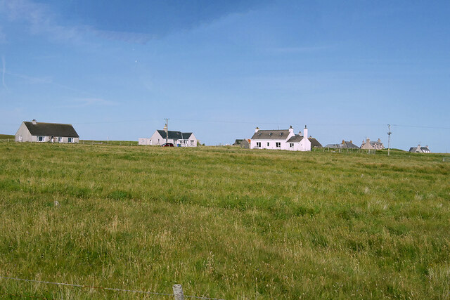
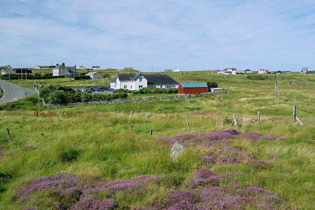
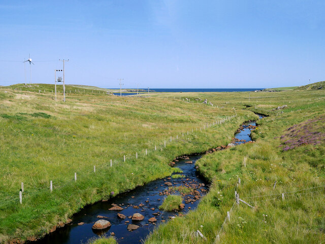
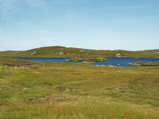
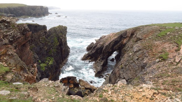
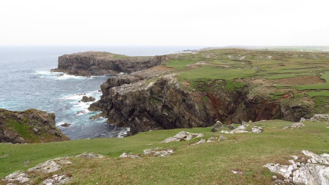
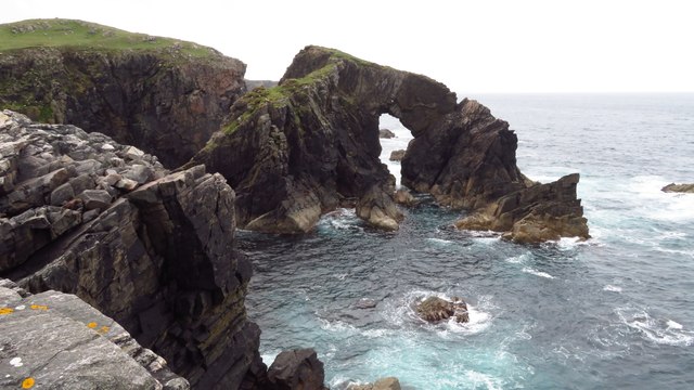
Cnoc nan Allt Images

Images are sourced within 2km of 58.327477/-6.7002657 or Grid Reference NB2447. Thanks to Geograph Open Source API. All images are credited.

Strip Fields and Clearance Cairns The field boundaries form part of a much larger system in this area and the cairns are built upon earthfast boulders.
Strip Fields and Clearance Cairns
The field boundaries form part of a much larger system in this area and the cairns are built upon earthfast boulders.
Sheepfold and Wash
Sheepfold and Wash
Cliffs at Rubh' an Dùnain
Geodha na Laire A deep chasm leading inland at Garson Point.
Geodha na Laire
A deep chasm leading inland at Garson Point.
Beach at southern end of Loch Shiaboist
Stile and waymarker post for Siabost to Dail Beag Path
North  Shawbost
North Shawbost
Shawbost/Siabost
Shawbost/Siabost
Shawbost Village
Shawbost Village
Abhainn Shiaboist
Abhainn Shiaboist
Cnoc Leatham
Cnoc Leatham
Parking area at Loch Raoinebhat
Loch Raoinebhat
Loch Raoinebhat
View towards Loch Raoinebhat
Loch Raoinebhat, Isle of Lewis
Natural arch at Tolaig Beag
Coastal scenery approaching Rubha na Beirghe
Natural arch at Stac a' Phris
Show me another place!

Cnoc nan Allt is located at Grid Ref: NB2447 (Lat: 58.327477, Lng: -6.7002657)

Unitary Authority: Na h-Eileanan an Iar

Police Authority: Highlands and Islands

What 3 Words

///expansion.growl.upset. Near Carloway, Na h-Eileanan Siar

Related Wikis

Shawbost

Shawbost (Scottish Gaelic: Siabost) is a large village in the West Side of the Isle of Lewis. The village of Shawbost has a population of around 500 and...

Bragar

Bragar (Scottish Gaelic: Bràgar, pronounced [braːgər]) is a village on the west side of the Isle of Lewis in the Outer Hebrides, Scotland, 14 miles (23...

Siadar Wave Power Station

The Siadar Wave Power Station (also known as Siadar Wave Energy Project or SWEP) was a proposed 4 MW wave farm 400 metres (1,300 ft) off the shore of Siadar...

Carloway

Carloway (Scottish Gaelic: Càrlabhagh [ˈkʰaːɾɫ̪ə.ɤː]) is a crofting township and a district on the west coast of the Isle of Lewis, in the Outer Hebrides...

Nearby Amenities

Located within 500m of 58.327477,-6.7002657
Turning Circle
Noexit: yes
Lat/Long: 58.3265617/-6.7079183
Power: pole
Lat/Long: 58.3298979/-6.706804
Power: pole
Lat/Long: 58.3296333/-6.7065945
Power: pole
Lat/Long: 58.3292956/-6.7063333
Power: pole
Lat/Long: 58.3291643/-6.7059735
Power: pole
Lat/Long: 58.3288266/-6.7057924
Power: pole
Lat/Long: 58.3283821/-6.7053952
Power: pole
Lat/Long: 58.3278448/-6.7041933
Power: pole
Lat/Long: 58.3275425/-6.7035478
Power: pole
Lat/Long: 58.3272032/-6.7028584
Power: pole
Lat/Long: 58.3266734/-6.7017501
Power: pole
Lat/Long: 58.32632/-6.7010301
Power: pole
Lat/Long: 58.3259685/-6.7002798
Power: pole
Lat/Long: 58.3256251/-6.6995218
Power: pole
Lat/Long: 58.3252007/-6.6991312
Power: pole
Lat/Long: 58.324742/-6.6987439
Power: pole
Lat/Long: 58.324256/-6.6983363
Power: pole
Lat/Long: 58.3239073/-6.6979902
Power: pole
Lat/Long: 58.3235088/-6.6976561
Power: pole
Lat/Long: 58.3286634/-6.7065411
Power: pole
Lat/Long: 58.3281792/-6.706816
Power: pole
Lat/Long: 58.3278283/-6.7070763
Power: pole
Lat/Long: 58.3273806/-6.7073523
Power: pole
Lat/Long: 58.3271115/-6.7078062
Power: pole
Lat/Long: 58.3267605/-6.7080509
Power: pole
Lat/Long: 58.3262987/-6.7080022
Power: pole
Lat/Long: 58.3250933/-6.7019772
Power: pole
Lat/Long: 58.3249502/-6.701485
Power: pole
Lat/Long: 58.3247372/-6.7007647
Power: pole
Lat/Long: 58.3245077/-6.7000351
Power: pole
Lat/Long: 58.3243381/-6.6994421
Power: pole
Lat/Long: 58.3241092/-6.6987184
Power: pole
Lat/Long: 58.3235025/-6.7018478
Power: pole
Lat/Long: 58.3238229/-6.7015456
Power: pole
Lat/Long: 58.3242412/-6.7011986
Barrier: cattle_grid
Lat/Long: 58.3235154/-6.7020425
Barrier: cattle_grid
Lat/Long: 58.3296503/-6.7064368
Barrier: cattle_grid
Lat/Long: 58.3231901/-6.7017028
The data included in this document is from www.openstreetmap.org. The data is made available under ODbL.

Have you been to Cnoc nan Allt?

Leave your review of Cnoc nan Allt below (or comments, questions and feedback).